Germantown Hills is a village in Woodford County, Illinois, approximately 8 miles (13 km) northeast of Peoria. Germantown Hills is the only incorporated community in Worth Township. As of the 2010 census, the village had a total population of 3,438. Largely an agricultural community until its incorporation in 1954, Germantown Hills is now a growing bedroom community in the Peoria Metropolitan Area.
| Name: | Germantown Hills village |
|---|---|
| LSAD Code: | 47 |
| LSAD Description: | village (suffix) |
| State: | Illinois |
| County: | Woodford County |
| Incorporated: | as Oak Grove Park in 1954 |
| Elevation: | 803 ft (245 m) |
| Total Area: | 1.68 sq mi (4.35 km²) |
| Land Area: | 1.64 sq mi (4.24 km²) |
| Water Area: | 0.04 sq mi (0.11 km²) |
| Total Population: | 3,412 |
| Population Density: | 2,084.30/sq mi (804.99/km²) |
| Area code: | 309 |
| FIPS code: | 1729080 |
| Website: | germantownhillsillinois.org |
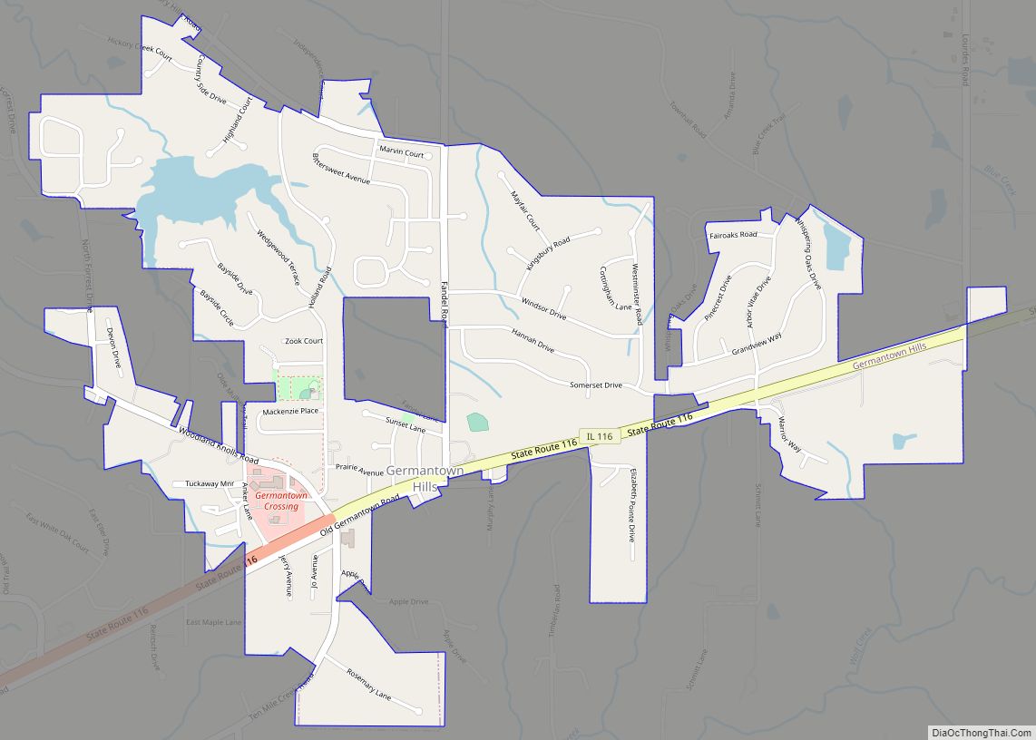
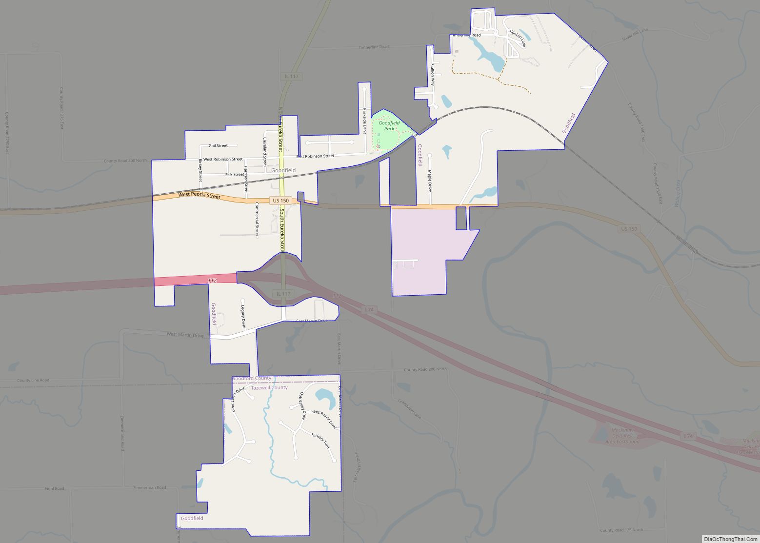
Online Interactive Map
Click on ![]() to view map in "full screen" mode.
to view map in "full screen" mode.
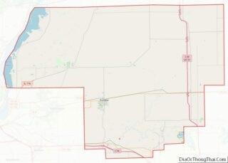
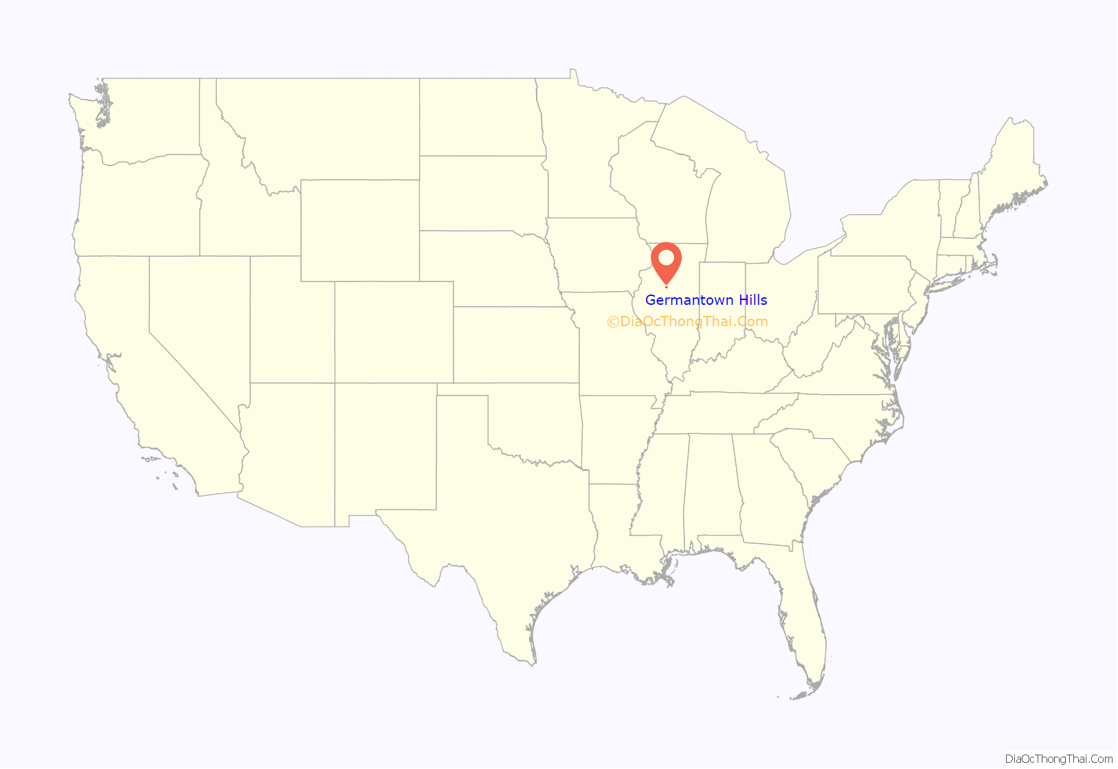
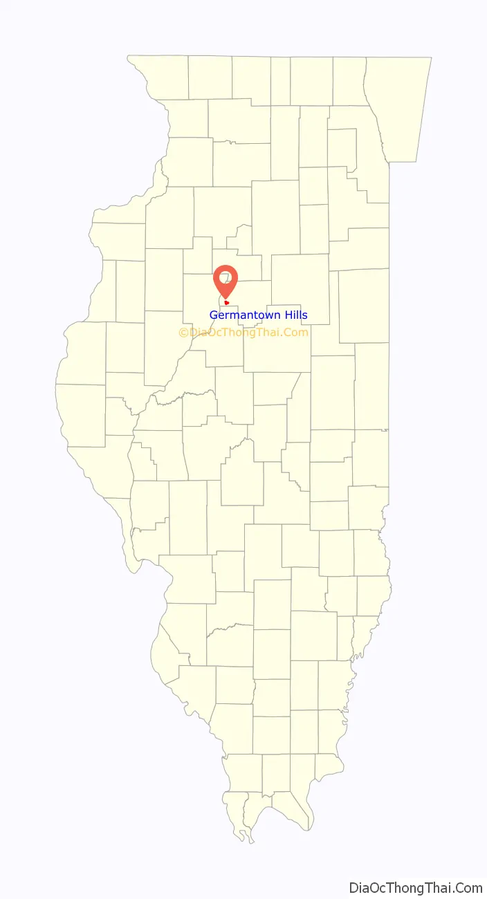
Germantown Hills location map. Where is Germantown Hills village?
History
Settlement of the area began as early as November 1831, when Methodist Rev. Zadock Hall began preaching in modern-day Worth Township. Soon after, an iron foundry was opened by settler Philip Klein. By 1837, a Catholic church was organized by German Catholics in the area. In 1850, William Hoshor built a tavern and hotel named the Germantown House, for which the village would be named more than 100 years later. A steam sawmill was built in 1860, and in the 1890s, the Union House was erected as a tavern, grocery store, and saloon.
The area remained almost completely agricultural until the incorporation of Oak Grove Park in 1954. The village’s founders wished to use the name “Germantown” to reflect Hoshor’s Germantown House and the area’s large German-American representation, but the name was taken by a village in southern Illinois. Upon its incorporation, the population of Oak Grove Park was 182. In 1967, the name Oak Grove Park was dropped in favor of Germantown Hills. The village’s population would rise steadily until the 1980 census, when the annexation of the Whispering Oaks subdivision brought the number to 524. Subsequent development and annexation brought the population to 1195 by 1990. Rampant development, fueled by suburbanization in the Peoria Metropolitan Area, brought the population to its most-recent count of 3,438.
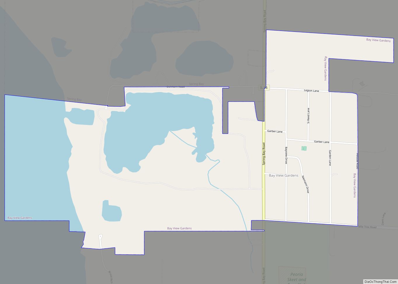
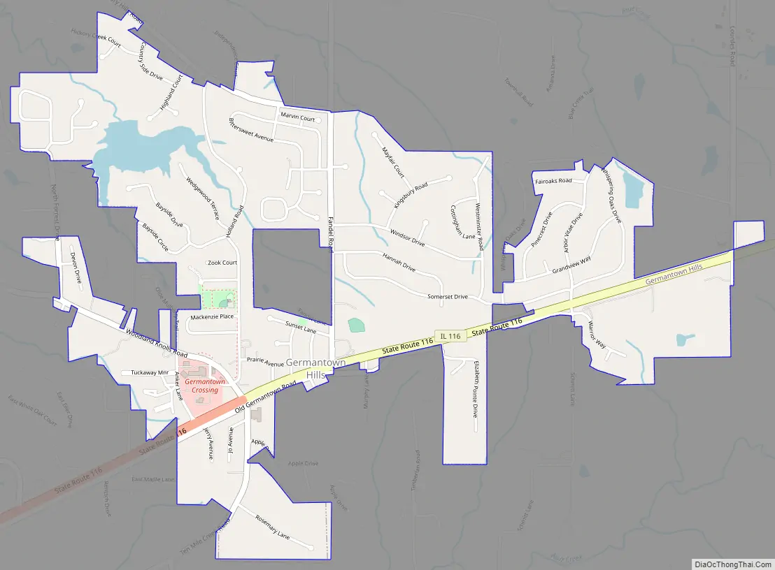
Germantown Hills Road Map
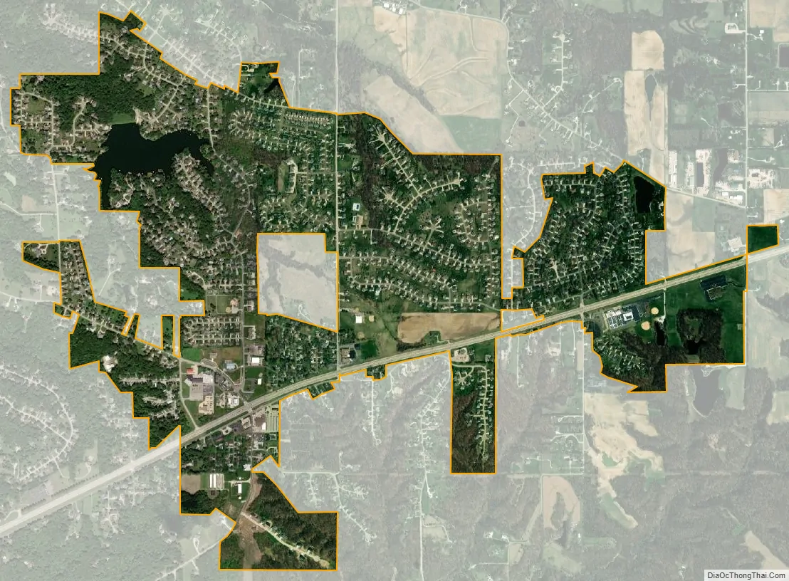
Germantown Hills city Satellite Map
Geography
Germantown Hills is located at 40°46′17″N 89°27′43″W / 40.77139°N 89.46194°W / 40.77139; -89.46194 (40.771569, -89.461894).
According to the 2010 census, Germantown Hills has a total area of 1.677 square miles (4.34 km), of which 1.63 square miles (4.22 km) (or 97.2%) is land and 0.047 square miles (0.12 km) (or 2.8%) is water.
Illinois State Route 116, a four-lane divided highway, runs through the center of the village and connects it to Peoria, serving as the focal point for development and residences.
See also
Map of Illinois State and its subdivision:- Adams
- Alexander
- Bond
- Boone
- Brown
- Bureau
- Calhoun
- Carroll
- Cass
- Champaign
- Christian
- Clark
- Clay
- Clinton
- Coles
- Cook
- Crawford
- Cumberland
- De Kalb
- De Witt
- Douglas
- Dupage
- Edgar
- Edwards
- Effingham
- Fayette
- Ford
- Franklin
- Fulton
- Gallatin
- Greene
- Grundy
- Hamilton
- Hancock
- Hardin
- Henderson
- Henry
- Iroquois
- Jackson
- Jasper
- Jefferson
- Jersey
- Jo Daviess
- Johnson
- Kane
- Kankakee
- Kendall
- Knox
- La Salle
- Lake
- Lake Michigan
- Lawrence
- Lee
- Livingston
- Logan
- Macon
- Macoupin
- Madison
- Marion
- Marshall
- Mason
- Massac
- McDonough
- McHenry
- McLean
- Menard
- Mercer
- Monroe
- Montgomery
- Morgan
- Moultrie
- Ogle
- Peoria
- Perry
- Piatt
- Pike
- Pope
- Pulaski
- Putnam
- Randolph
- Richland
- Rock Island
- Saint Clair
- Saline
- Sangamon
- Schuyler
- Scott
- Shelby
- Stark
- Stephenson
- Tazewell
- Union
- Vermilion
- Wabash
- Warren
- Washington
- Wayne
- White
- Whiteside
- Will
- Williamson
- Winnebago
- Woodford
- Alabama
- Alaska
- Arizona
- Arkansas
- California
- Colorado
- Connecticut
- Delaware
- District of Columbia
- Florida
- Georgia
- Hawaii
- Idaho
- Illinois
- Indiana
- Iowa
- Kansas
- Kentucky
- Louisiana
- Maine
- Maryland
- Massachusetts
- Michigan
- Minnesota
- Mississippi
- Missouri
- Montana
- Nebraska
- Nevada
- New Hampshire
- New Jersey
- New Mexico
- New York
- North Carolina
- North Dakota
- Ohio
- Oklahoma
- Oregon
- Pennsylvania
- Rhode Island
- South Carolina
- South Dakota
- Tennessee
- Texas
- Utah
- Vermont
- Virginia
- Washington
- West Virginia
- Wisconsin
- Wyoming