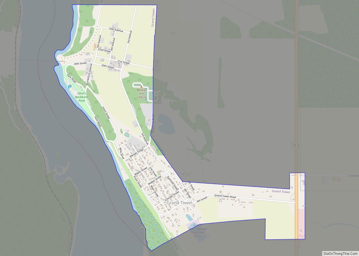
Grand Tower is a city in Jackson County, Illinois, United States. The population was 605 at the 2010 census. The town gets its name from Tower Rock, a landmark island in the Mississippi River.
| Name: | Grand Tower city |
|---|---|
| LSAD Code: | 25 |
| LSAD Description: | city (suffix) |
| State: | Illinois |
| County: | Jackson County |
| Elevation: | 358 ft (109 m) |
| Total Area: | 1.25 sq mi (3.24 km²) |
| Land Area: | 1.25 sq mi (3.23 km²) |
| Water Area: | 0.00 sq mi (0.01 km²) |
| Total Population: | 479 |
| Population Density: | 383.81/sq mi (148.16/km²) |
| ZIP code: | 62942 |
| Area code: | 618 |
| FIPS code: | 1730770 |
| GNISfeature ID: | 2394955 |
Online Interactive Map
Click on ![]() to view map in "full screen" mode.
to view map in "full screen" mode.
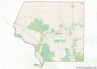
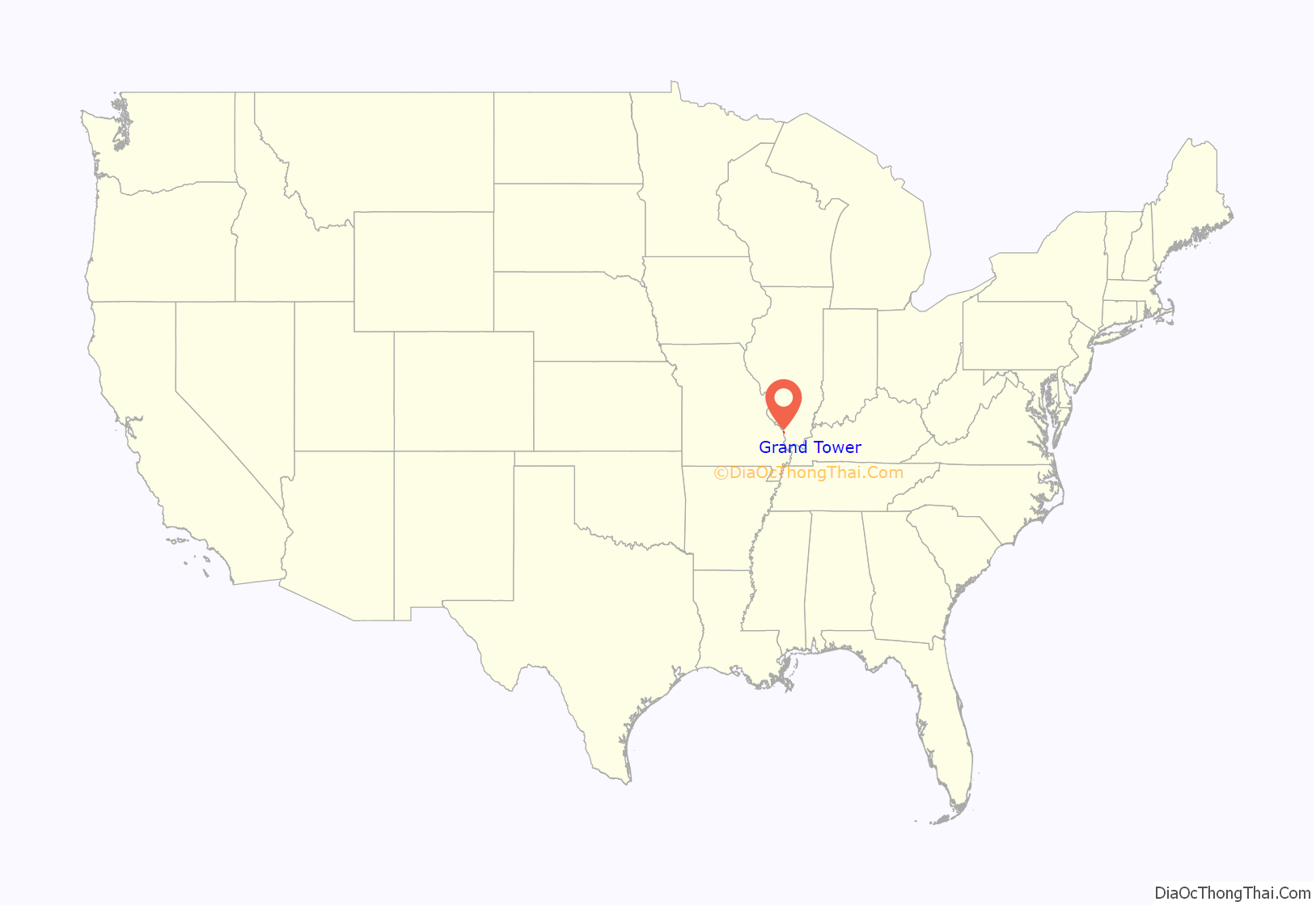
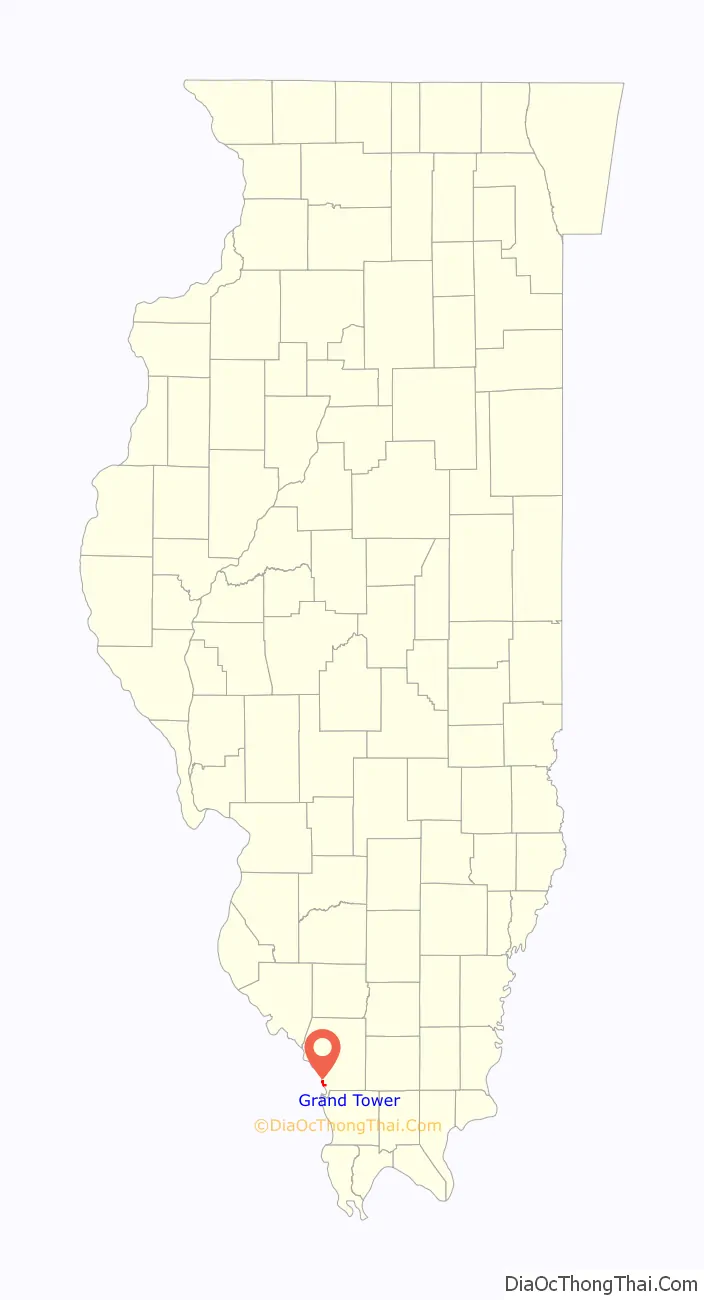
Grand Tower location map. Where is Grand Tower city?
History
Former names of this town include La Tour (“The Tower”), Jenkins Landing, Cochran’s Woodyard Landing, and Evans’ Landing.
The earliest inhabitants were a band of river pirates, who settled here after being driven off Spanish soil west of the Mississippi River, near the pirate ambush spot of Tower Rock. This outlaw settlement was destroyed by the United States Army dragoons in 1803. A subsequent settler was a man named Walker, who is the namesake of Walker Hill.
Severe flooding struck the town in 1947.
Grand Tower Road Map
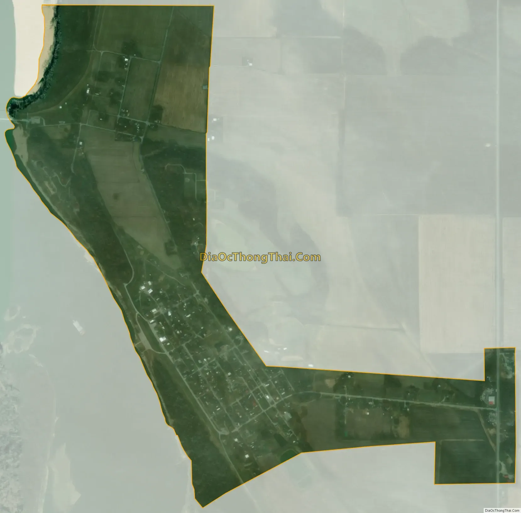
Grand Tower city Satellite Map
Geography
Grand Tower is located in southwestern Jackson County at 37°37′57″N 89°30′7″W / 37.63250°N 89.50194°W / 37.63250; -89.50194 (37.632599, -89.501944). The city is bordered to the west by the Mississippi River, which forms the Missouri–Illinois boundary. The northern edge of the city borders Shawnee National Forest.
Illinois Route 3 runs through an eastern extension of the city limits, leading north (upriver) 32 miles (51 km) to Chester, where the Chester Bridge crosses the Mississippi, and south 25 miles (40 km) to Illinois Route 146, which crosses the Mississippi to Cape Girardeau, Missouri. There are no other road bridges over the Mississippi closer to Grand Tower.
According to the 2010 census, Grand Tower has a total area of 1.253 square miles (3.25 km), of which 1.25 square miles (3.24 km) (or 99.76%) is land and 0.003 square miles (0.01 km) (or 0.24%) is water.
Immediately to the south of the city is a small portion of Perry County, Missouri, which is known as “Grand Tower Island”. The island’s sole road connection terminates in Grand Tower. The Grand Tower Pipeline Bridge connects a natural gas pipeline across the Mississippi River between Wittenberg, Missouri and Grand Tower.
See also
Map of Illinois State and its subdivision:- Adams
- Alexander
- Bond
- Boone
- Brown
- Bureau
- Calhoun
- Carroll
- Cass
- Champaign
- Christian
- Clark
- Clay
- Clinton
- Coles
- Cook
- Crawford
- Cumberland
- De Kalb
- De Witt
- Douglas
- Dupage
- Edgar
- Edwards
- Effingham
- Fayette
- Ford
- Franklin
- Fulton
- Gallatin
- Greene
- Grundy
- Hamilton
- Hancock
- Hardin
- Henderson
- Henry
- Iroquois
- Jackson
- Jasper
- Jefferson
- Jersey
- Jo Daviess
- Johnson
- Kane
- Kankakee
- Kendall
- Knox
- La Salle
- Lake
- Lake Michigan
- Lawrence
- Lee
- Livingston
- Logan
- Macon
- Macoupin
- Madison
- Marion
- Marshall
- Mason
- Massac
- McDonough
- McHenry
- McLean
- Menard
- Mercer
- Monroe
- Montgomery
- Morgan
- Moultrie
- Ogle
- Peoria
- Perry
- Piatt
- Pike
- Pope
- Pulaski
- Putnam
- Randolph
- Richland
- Rock Island
- Saint Clair
- Saline
- Sangamon
- Schuyler
- Scott
- Shelby
- Stark
- Stephenson
- Tazewell
- Union
- Vermilion
- Wabash
- Warren
- Washington
- Wayne
- White
- Whiteside
- Will
- Williamson
- Winnebago
- Woodford
- Alabama
- Alaska
- Arizona
- Arkansas
- California
- Colorado
- Connecticut
- Delaware
- District of Columbia
- Florida
- Georgia
- Hawaii
- Idaho
- Illinois
- Indiana
- Iowa
- Kansas
- Kentucky
- Louisiana
- Maine
- Maryland
- Massachusetts
- Michigan
- Minnesota
- Mississippi
- Missouri
- Montana
- Nebraska
- Nevada
- New Hampshire
- New Jersey
- New Mexico
- New York
- North Carolina
- North Dakota
- Ohio
- Oklahoma
- Oregon
- Pennsylvania
- Rhode Island
- South Carolina
- South Dakota
- Tennessee
- Texas
- Utah
- Vermont
- Virginia
- Washington
- West Virginia
- Wisconsin
- Wyoming