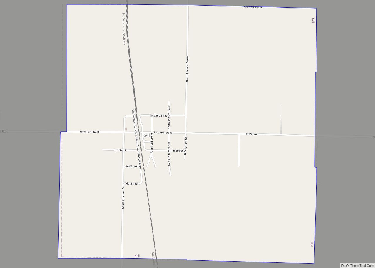
Kell is a village in Marion County, Illinois, United States. The population was 173 at the 2020 census, down from 219 in 2010.
| Name: | Kell village |
|---|---|
| LSAD Code: | 47 |
| LSAD Description: | village (suffix) |
| State: | Illinois |
| County: | Marion County |
| Elevation: | 614 ft (187 m) |
| Total Area: | 1.00 sq mi (2.60 km²) |
| Land Area: | 1.00 sq mi (2.60 km²) |
| Water Area: | 0.00 sq mi (0.00 km²) |
| Total Population: | 173 |
| Population Density: | 172.65/sq mi (66.66/km²) |
| ZIP code: | 62853 |
| Area code: | 618 |
| FIPS code: | 1739324 |
Online Interactive Map
Click on ![]() to view map in "full screen" mode.
to view map in "full screen" mode.
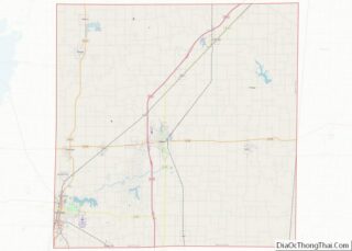
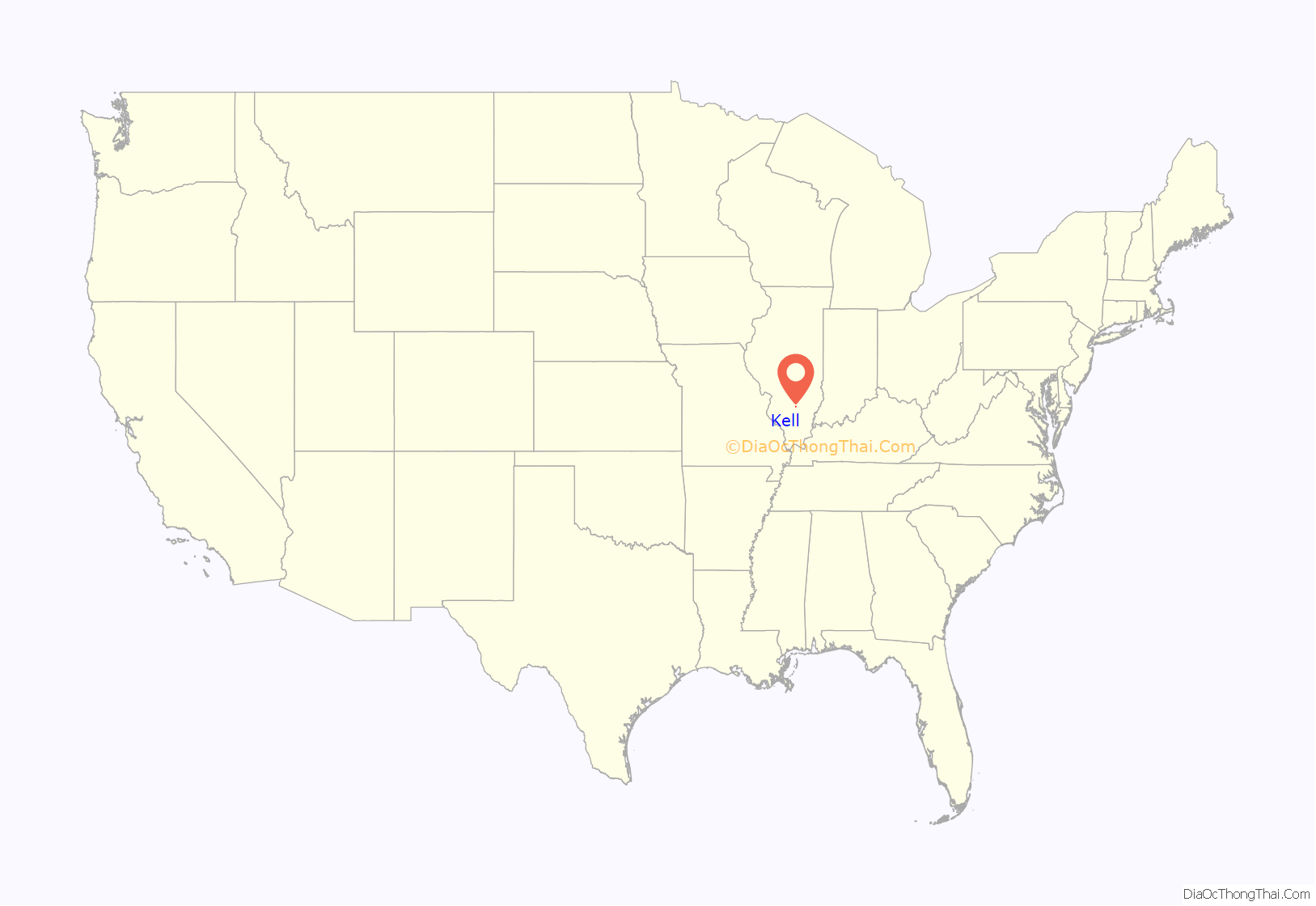
Kell location map. Where is Kell village?
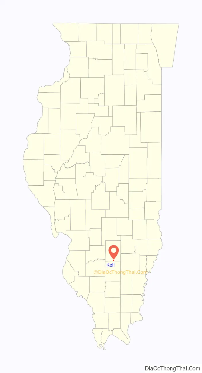
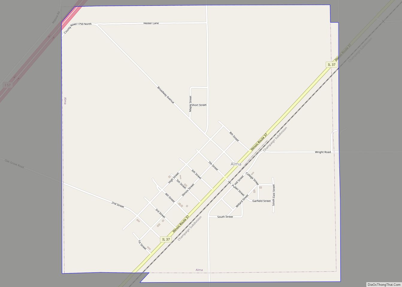
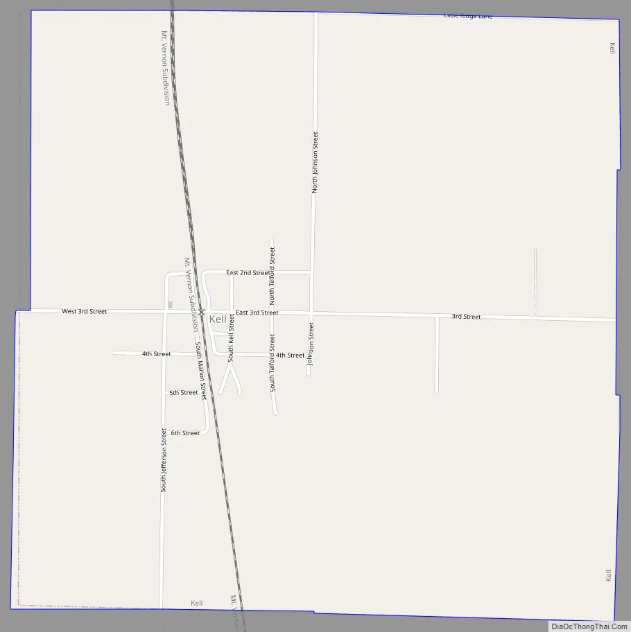
Kell Road Map
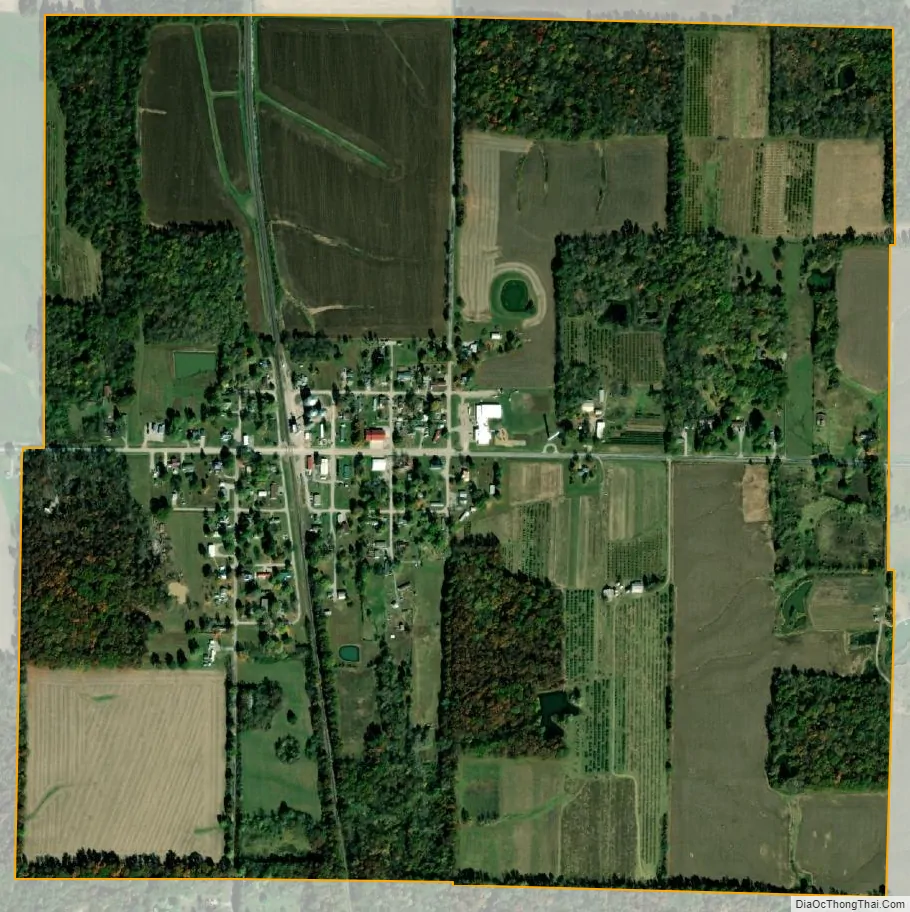
Kell city Satellite Map
Geography
Kell is located in southern Marion County south-southeast of Salem, the county seat, and 5 miles (8 km) northeast of Dix.
According to the U.S. Census Bureau, Kell has a total area of 1.004 square miles (2.60 km), of which 0.002 square miles (0.01 km), or 0.20%, are water.
Casey Creek has its headwaters in the north-central part of the village and flows southward through the village center. It is a tributary of the Big Muddy River, which runs south to the Mississippi River north of Cape Girardeau, Missouri. The northwest part of the village drains to Raccoon Creek, a west-flowing tributary of Crooked Creek and part of the Kaskaskia River watershed flowing to the Mississippi near Ste. Genevieve, Missouri. The divide between the Casey Creek/Big Muddy Basin and the Kaskaskia Basin is about 1,000 feet (300 m) west of town, over a rise that is barely noticeable. The eastern part of the village drains to Horse Creek, a southeast-flowing tributary of the Skillet Fork of the Little Wabash River, part of the Ohio River watershed, which flows to the Mississippi River at Cairo, Illinois. The divide between the Ohio River watershed and the other tributaries of the Mississippi is within the village limits just east of the village center. The village water tower sits atop this prominent ridge.
See also
Map of Illinois State and its subdivision:- Adams
- Alexander
- Bond
- Boone
- Brown
- Bureau
- Calhoun
- Carroll
- Cass
- Champaign
- Christian
- Clark
- Clay
- Clinton
- Coles
- Cook
- Crawford
- Cumberland
- De Kalb
- De Witt
- Douglas
- Dupage
- Edgar
- Edwards
- Effingham
- Fayette
- Ford
- Franklin
- Fulton
- Gallatin
- Greene
- Grundy
- Hamilton
- Hancock
- Hardin
- Henderson
- Henry
- Iroquois
- Jackson
- Jasper
- Jefferson
- Jersey
- Jo Daviess
- Johnson
- Kane
- Kankakee
- Kendall
- Knox
- La Salle
- Lake
- Lake Michigan
- Lawrence
- Lee
- Livingston
- Logan
- Macon
- Macoupin
- Madison
- Marion
- Marshall
- Mason
- Massac
- McDonough
- McHenry
- McLean
- Menard
- Mercer
- Monroe
- Montgomery
- Morgan
- Moultrie
- Ogle
- Peoria
- Perry
- Piatt
- Pike
- Pope
- Pulaski
- Putnam
- Randolph
- Richland
- Rock Island
- Saint Clair
- Saline
- Sangamon
- Schuyler
- Scott
- Shelby
- Stark
- Stephenson
- Tazewell
- Union
- Vermilion
- Wabash
- Warren
- Washington
- Wayne
- White
- Whiteside
- Will
- Williamson
- Winnebago
- Woodford
- Alabama
- Alaska
- Arizona
- Arkansas
- California
- Colorado
- Connecticut
- Delaware
- District of Columbia
- Florida
- Georgia
- Hawaii
- Idaho
- Illinois
- Indiana
- Iowa
- Kansas
- Kentucky
- Louisiana
- Maine
- Maryland
- Massachusetts
- Michigan
- Minnesota
- Mississippi
- Missouri
- Montana
- Nebraska
- Nevada
- New Hampshire
- New Jersey
- New Mexico
- New York
- North Carolina
- North Dakota
- Ohio
- Oklahoma
- Oregon
- Pennsylvania
- Rhode Island
- South Carolina
- South Dakota
- Tennessee
- Texas
- Utah
- Vermont
- Virginia
- Washington
- West Virginia
- Wisconsin
- Wyoming