Lynwood is a village in Cook County, Illinois, United States and a suburb of Chicago. The population was 9,116 at the 2020 census.
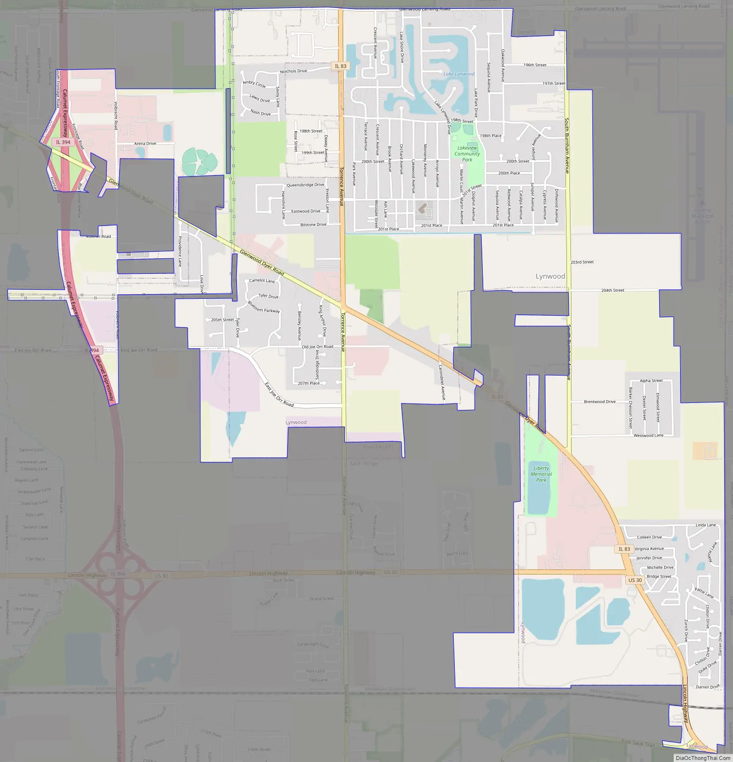
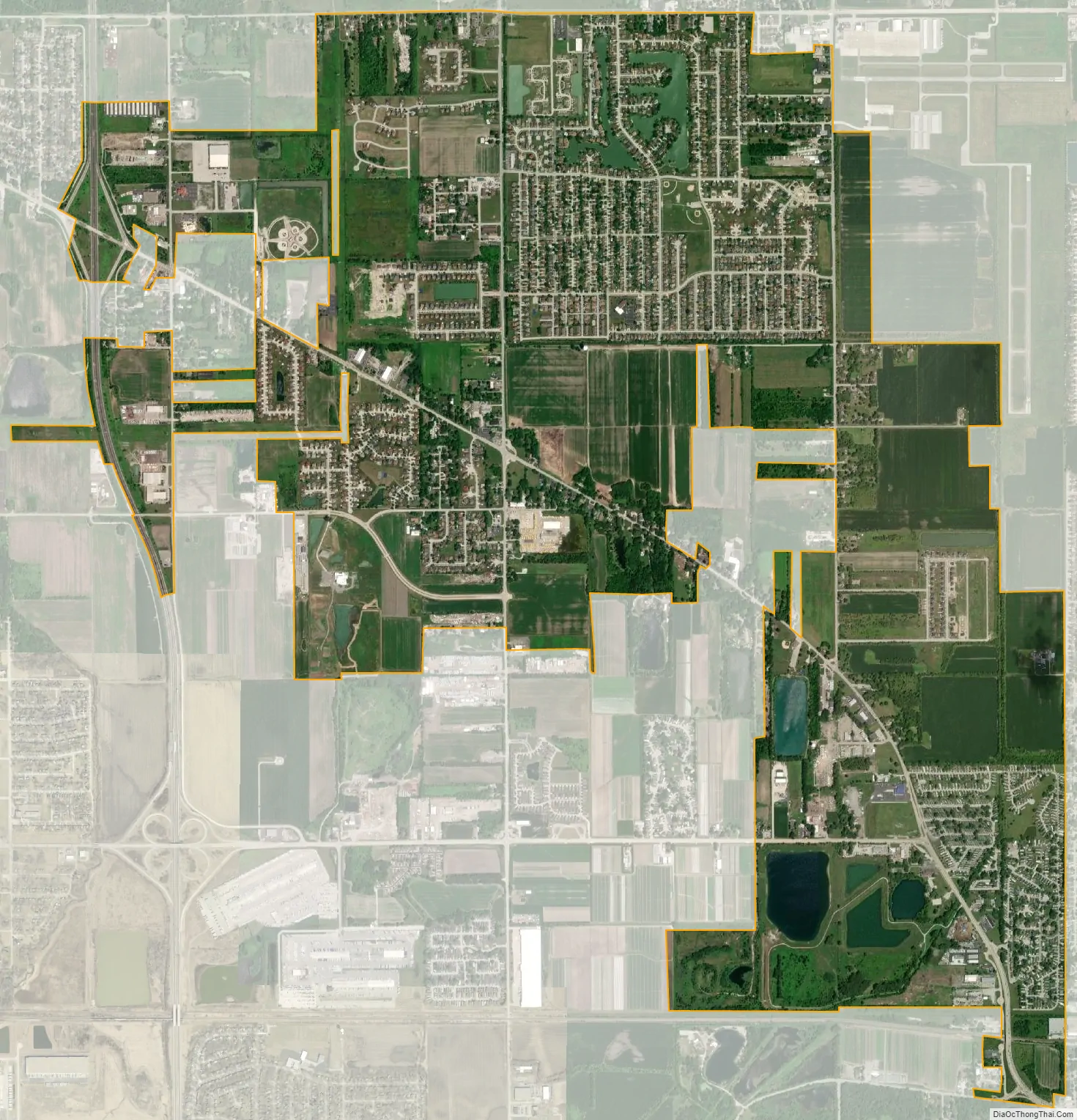
Lynwood was founded in 1959. The village is bordered by Lansing to the north, Glenwood to the west, Ford Heights and Sauk Village to the south, and Munster and Dyer, Indiana, to the east. The Indiana state line borders the entire eastern edge of Lynwood. Lynwood is currently a mix of suburban neighborhoods with a substantial amount of remaining farmland.
| Name: | Lynwood village |
|---|---|
| LSAD Code: | 47 |
| LSAD Description: | village (suffix) |
| State: | Illinois |
| County: | Cook County |
| Founded: | 1959 |
| Total Area: | 5.04 sq mi (13.05 km²) |
| Land Area: | 4.96 sq mi (12.86 km²) |
| Water Area: | 0.08 sq mi (0.20 km²) |
| Total Population: | 9,116 |
| Population Density: | 1,836.42/sq mi (709.11/km²) |
| Area code: | 708 |
| FIPS code: | 1745421 |
| Website: | www.lynwoodil.us |
Online Interactive Map
Click on ![]() to view map in "full screen" mode.
to view map in "full screen" mode.
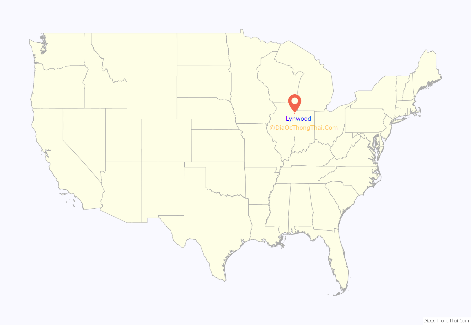
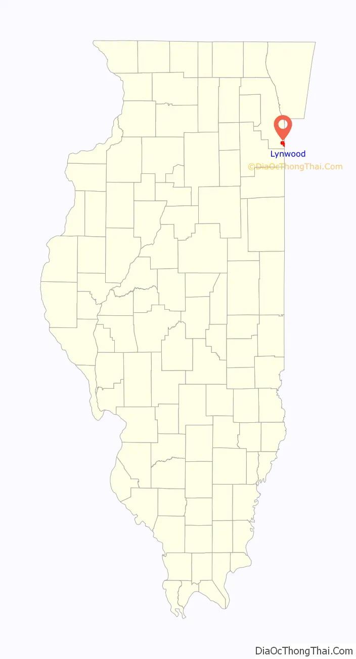
Lynwood location map. Where is Lynwood village?
Lynwood Road Map
Lynwood city Satellite Map
Geography
Lynwood is located at 41°31′35″N 87°32′53″W / 41.52639°N 87.54806°W / 41.52639; -87.54806 (41.526351, -87.548194).
According to the 2021 census gazetteer files, Lynwood has a total area of 5.04 square miles (13.05 km), of which 4.96 square miles (12.85 km) (or 98.47%) is land and 0.08 square miles (0.21 km) (or 1.53%) is water.
Surrounding areas
See also
Map of Illinois State and its subdivision:- Adams
- Alexander
- Bond
- Boone
- Brown
- Bureau
- Calhoun
- Carroll
- Cass
- Champaign
- Christian
- Clark
- Clay
- Clinton
- Coles
- Cook
- Crawford
- Cumberland
- De Kalb
- De Witt
- Douglas
- Dupage
- Edgar
- Edwards
- Effingham
- Fayette
- Ford
- Franklin
- Fulton
- Gallatin
- Greene
- Grundy
- Hamilton
- Hancock
- Hardin
- Henderson
- Henry
- Iroquois
- Jackson
- Jasper
- Jefferson
- Jersey
- Jo Daviess
- Johnson
- Kane
- Kankakee
- Kendall
- Knox
- La Salle
- Lake
- Lake Michigan
- Lawrence
- Lee
- Livingston
- Logan
- Macon
- Macoupin
- Madison
- Marion
- Marshall
- Mason
- Massac
- McDonough
- McHenry
- McLean
- Menard
- Mercer
- Monroe
- Montgomery
- Morgan
- Moultrie
- Ogle
- Peoria
- Perry
- Piatt
- Pike
- Pope
- Pulaski
- Putnam
- Randolph
- Richland
- Rock Island
- Saint Clair
- Saline
- Sangamon
- Schuyler
- Scott
- Shelby
- Stark
- Stephenson
- Tazewell
- Union
- Vermilion
- Wabash
- Warren
- Washington
- Wayne
- White
- Whiteside
- Will
- Williamson
- Winnebago
- Woodford
- Alabama
- Alaska
- Arizona
- Arkansas
- California
- Colorado
- Connecticut
- Delaware
- District of Columbia
- Florida
- Georgia
- Hawaii
- Idaho
- Illinois
- Indiana
- Iowa
- Kansas
- Kentucky
- Louisiana
- Maine
- Maryland
- Massachusetts
- Michigan
- Minnesota
- Mississippi
- Missouri
- Montana
- Nebraska
- Nevada
- New Hampshire
- New Jersey
- New Mexico
- New York
- North Carolina
- North Dakota
- Ohio
- Oklahoma
- Oregon
- Pennsylvania
- Rhode Island
- South Carolina
- South Dakota
- Tennessee
- Texas
- Utah
- Vermont
- Virginia
- Washington
- West Virginia
- Wisconsin
- Wyoming


