Marissa is a village in St. Clair County, Illinois, United States. The population was 1,979 at the 2010 census.
| Name: | Marissa village |
|---|---|
| LSAD Code: | 47 |
| LSAD Description: | village (suffix) |
| State: | Illinois |
| County: | St. Clair County |
| Elevation: | 413 ft (126 m) |
| Total Area: | 7.94 sq mi (20.57 km²) |
| Land Area: | 7.21 sq mi (18.68 km²) |
| Water Area: | 0.73 sq mi (1.88 km²) |
| Total Population: | 1,833 |
| Population Density: | 254.09/sq mi (98.10/km²) |
| Area code: | 618 |
| FIPS code: | 1746955 |
| GNISfeature ID: | 2399258 |
| Website: | www.villageofmarissa.com |
Online Interactive Map
Click on ![]() to view map in "full screen" mode.
to view map in "full screen" mode.
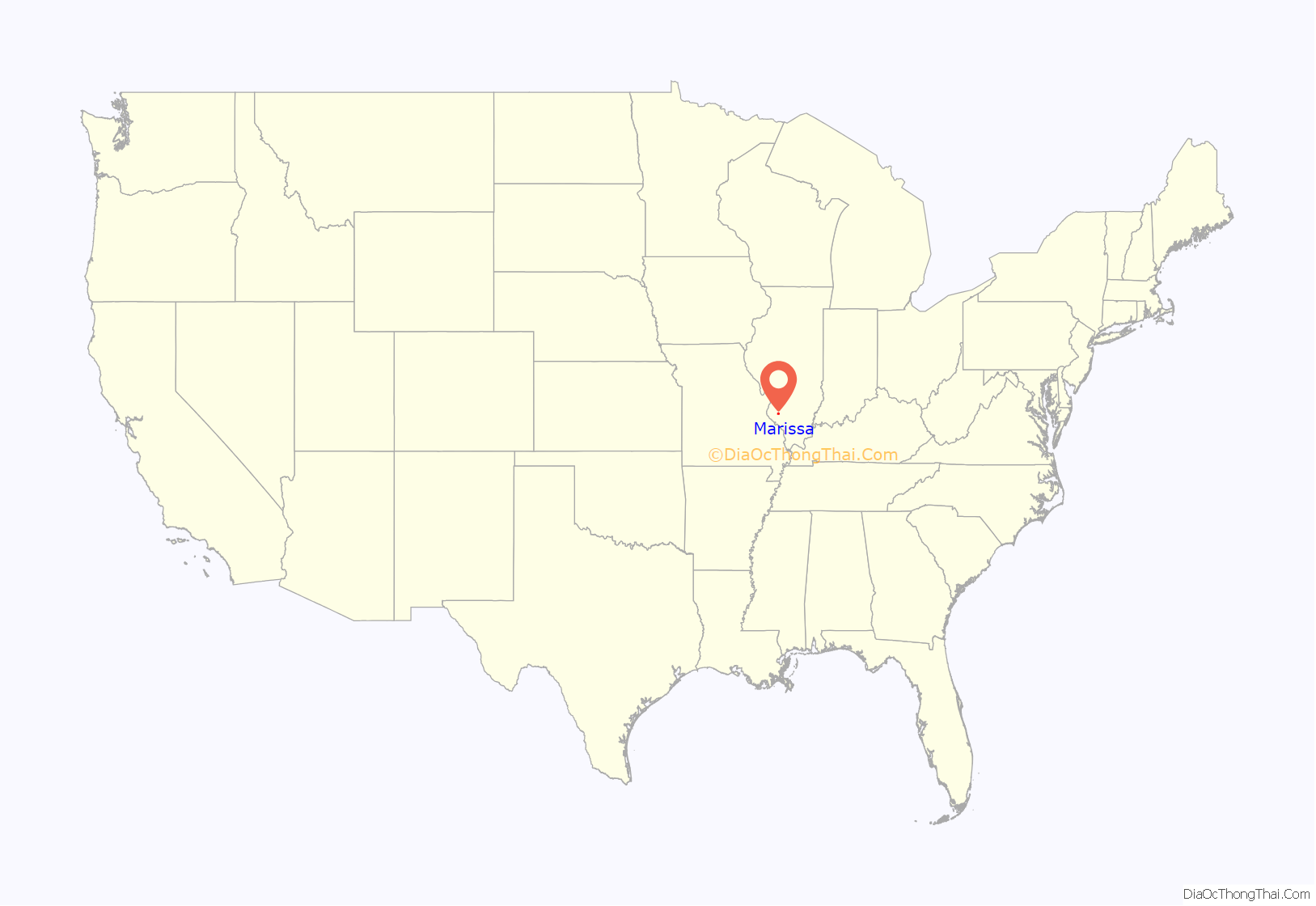
Marissa location map. Where is Marissa village?
History
Before 1700, the Marissa area was inhabited by various Native American tribes. Among them were Kaskaskias, Peorias, Cahokias, Iroquois, and Michiganies. However, the most prevalent in the immediate area were probably the Tamaroas. It is known that just south of Marissa Cemetery, on a hill at 321 Doza Creek Road, a settlement existed as many artifacts have been recovered over the years. Also, there are still the remains of a trail that was used by the tribes as they traveled east and west. Evidence of this can still be seen just north of the dwelling at 132 Doza Creek Road. The three feet deep trench running through the woods was worn by foot and horse traffic, some pulling two pole skids carrying possessions. During the early 1700s, settlers first made their appearance in the region. French hunters and trappers ventured into the area in quest of its plentiful game. One of the first was Elexe Doza, who gave his last name to a creek that lies just south of the village.
The first settlers came to the area around 1805. John Lively had moved his family here from South Carolina and built a log cabin about two miles east of Marissa near Risdon School Road. A second family moved into the area four years later and they too were followed by others. The encroachment of the Indians’ land had begun and, as could be expected, conflicts began to surface. Because of the hostilities, small wooden forts were built by the settlers that afforded them a place to retreat when threats of attack loomed. One of these was constructed on Doza Creek about a ¼ mile north of where it is crossed by the Risdon School Road. Crumbling remains of the fort were reportedly still in existence in the early 1960s, but were destroyed by strip mining. A steady stream of settlers continued, and in 1818, Illinois was granted statehood. The first elementary school opened in the area in 1831.
Starting in the late 1800s and continuing to the present day, one of the largest local industries has been the mining of steam coal. Currently most of the coal mined here is burned to generate electricity.
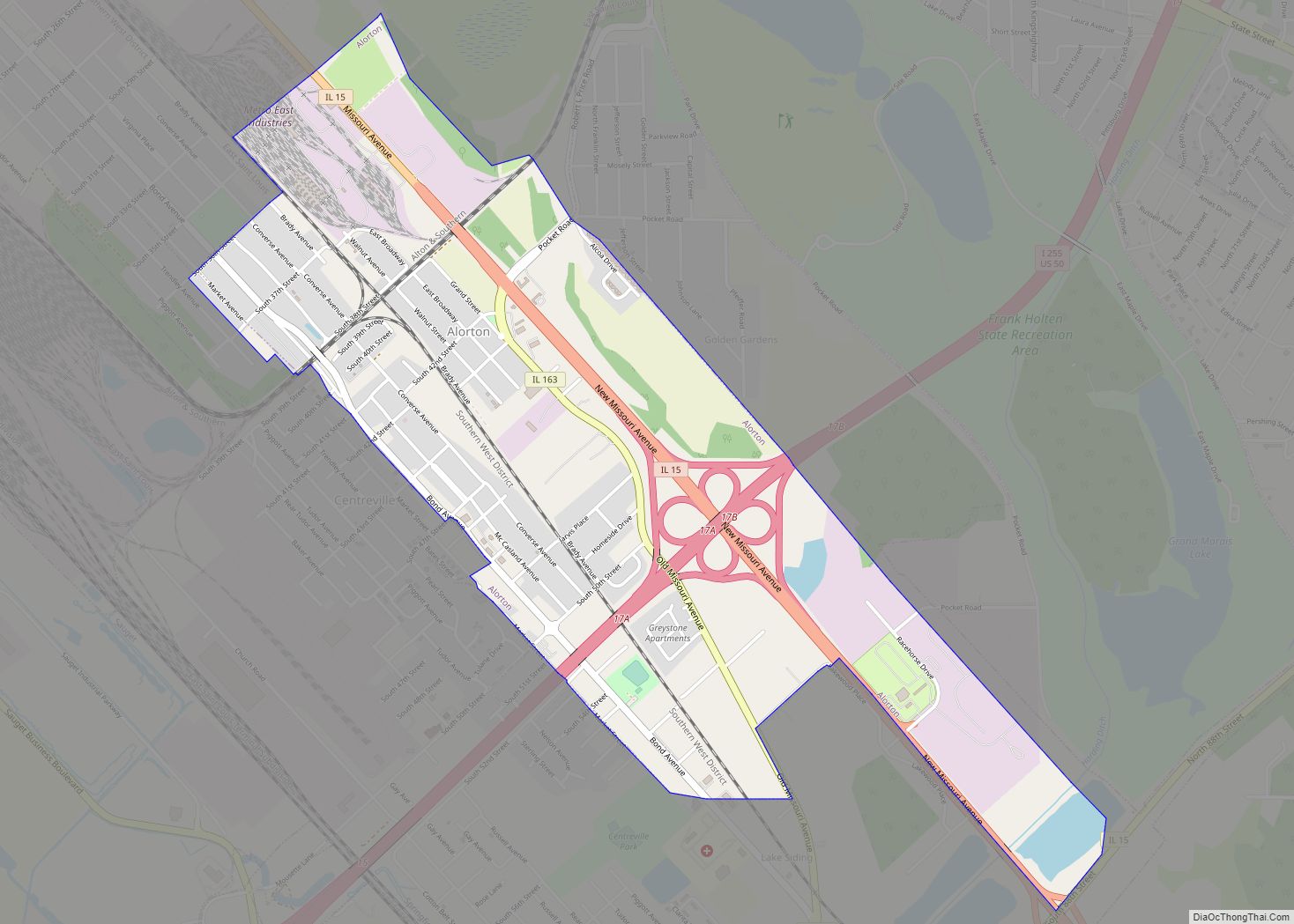
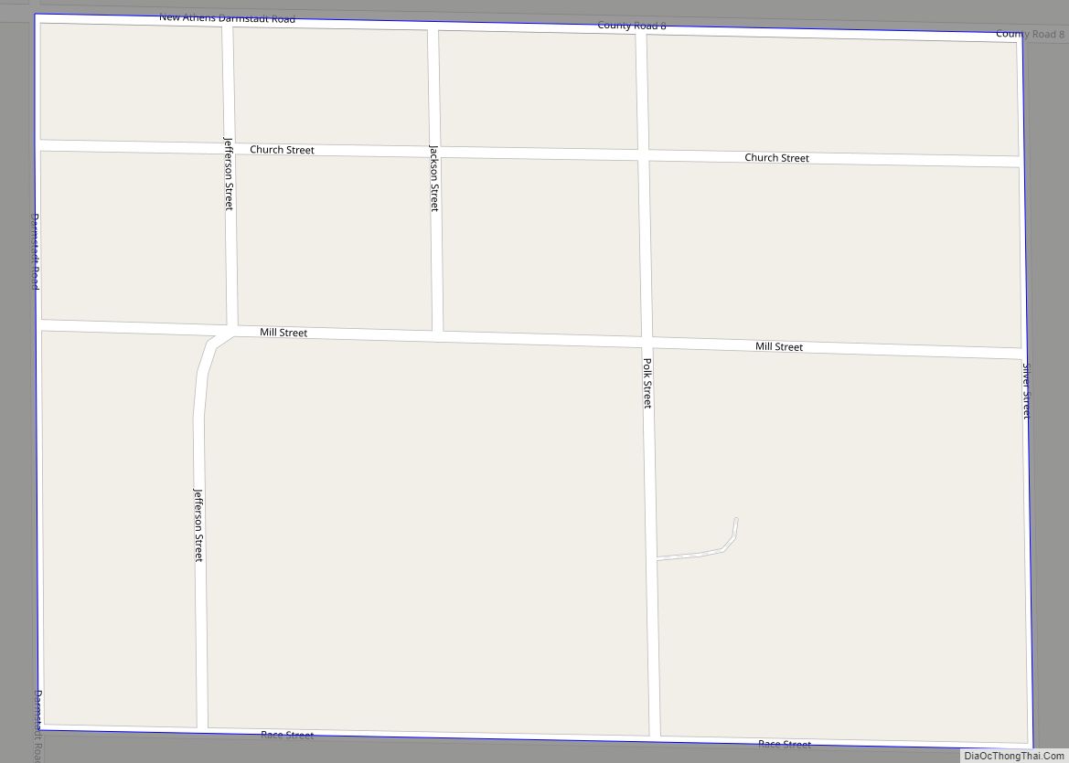
Marissa Road Map
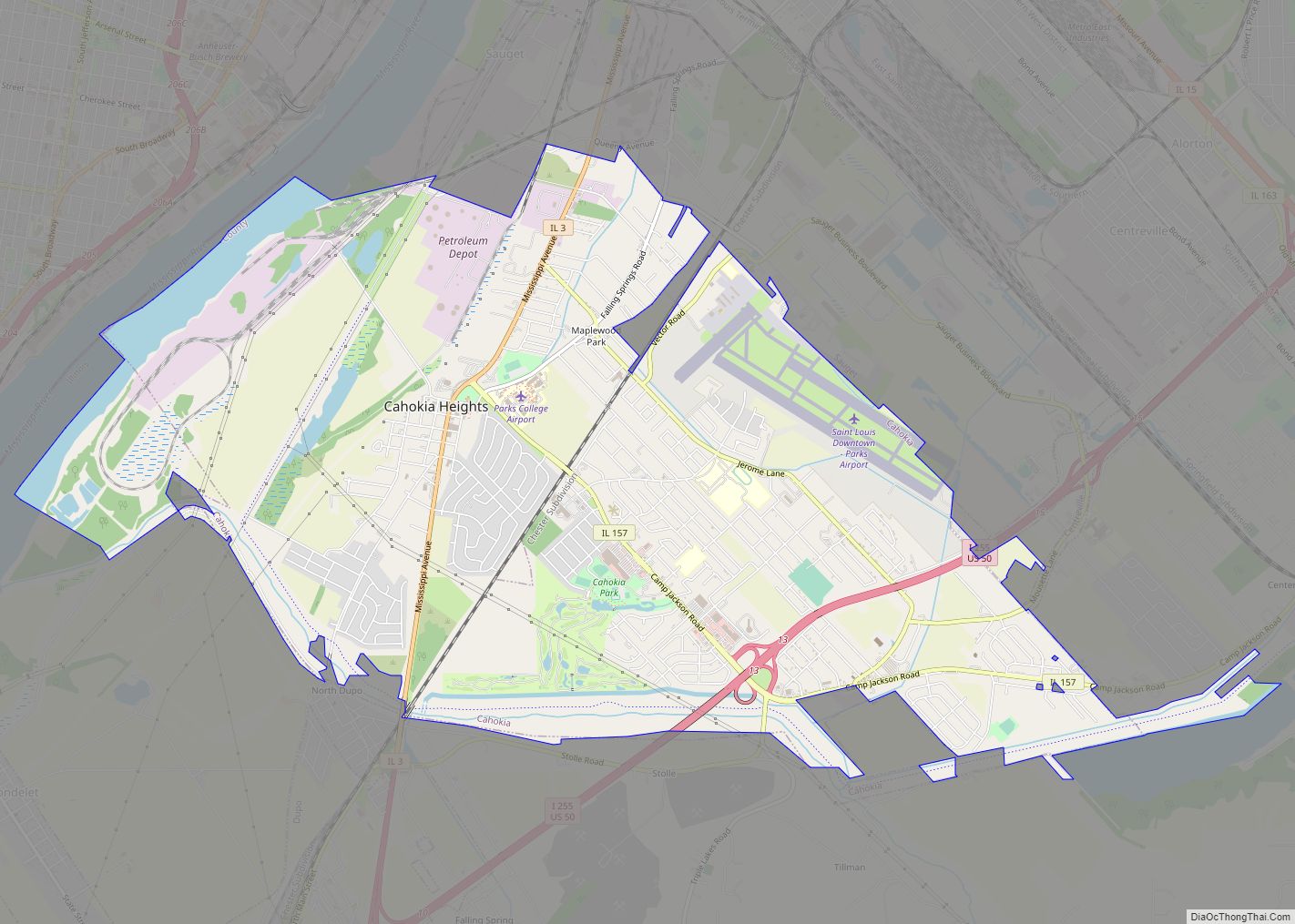
Marissa city Satellite Map
Geography
Marissa is located at 38°14′46″N 89°45′10″W / 38.24611°N 89.75278°W / 38.24611; -89.75278 (38.246011, -89.752899).
According to the 2010 census, Marissa has a total area of 3.523 square miles (9.12 km), of which 3.35 square miles (8.68 km) (or 95.09%) is land and 0.173 square miles (0.45 km) (or 4.91%) is water.
See also
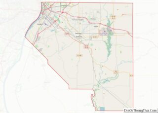
Map of Illinois State and its subdivision:- Adams
- Alexander
- Bond
- Boone
- Brown
- Bureau
- Calhoun
- Carroll
- Cass
- Champaign
- Christian
- Clark
- Clay
- Clinton
- Coles
- Cook
- Crawford
- Cumberland
- De Kalb
- De Witt
- Douglas
- Dupage
- Edgar
- Edwards
- Effingham
- Fayette
- Ford
- Franklin
- Fulton
- Gallatin
- Greene
- Grundy
- Hamilton
- Hancock
- Hardin
- Henderson
- Henry
- Iroquois
- Jackson
- Jasper
- Jefferson
- Jersey
- Jo Daviess
- Johnson
- Kane
- Kankakee
- Kendall
- Knox
- La Salle
- Lake
- Lake Michigan
- Lawrence
- Lee
- Livingston
- Logan
- Macon
- Macoupin
- Madison
- Marion
- Marshall
- Mason
- Massac
- McDonough
- McHenry
- McLean
- Menard
- Mercer
- Monroe
- Montgomery
- Morgan
- Moultrie
- Ogle
- Peoria
- Perry
- Piatt
- Pike
- Pope
- Pulaski
- Putnam
- Randolph
- Richland
- Rock Island
- Saint Clair
- Saline
- Sangamon
- Schuyler
- Scott
- Shelby
- Stark
- Stephenson
- Tazewell
- Union
- Vermilion
- Wabash
- Warren
- Washington
- Wayne
- White
- Whiteside
- Will
- Williamson
- Winnebago
- Woodford
- Alabama
- Alaska
- Arizona
- Arkansas
- California
- Colorado
- Connecticut
- Delaware
- District of Columbia
- Florida
- Georgia
- Hawaii
- Idaho
- Illinois
- Indiana
- Iowa
- Kansas
- Kentucky
- Louisiana
- Maine
- Maryland
- Massachusetts
- Michigan
- Minnesota
- Mississippi
- Missouri
- Montana
- Nebraska
- Nevada
- New Hampshire
- New Jersey
- New Mexico
- New York
- North Carolina
- North Dakota
- Ohio
- Oklahoma
- Oregon
- Pennsylvania
- Rhode Island
- South Carolina
- South Dakota
- Tennessee
- Texas
- Utah
- Vermont
- Virginia
- Washington
- West Virginia
- Wisconsin
- Wyoming
