Mascoutah is a city in St. Clair County, Illinois, United States, named for the Mascoutens, a tribe of the Michigan Indians. The population was 7,483 at the 2010 census. According to the US Census Bureau, the population was estimated at 7,994 in 2019.
| Name: | Mascoutah city |
|---|---|
| LSAD Code: | 25 |
| LSAD Description: | city (suffix) |
| State: | Illinois |
| County: | St. Clair County |
| Elevation: | 433 ft (132 m) |
| Total Area: | 9.72 sq mi (25.19 km²) |
| Land Area: | 9.58 sq mi (24.81 km²) |
| Water Area: | 0.15 sq mi (0.38 km²) |
| Total Population: | 8,754 |
| Population Density: | 913.97/sq mi (352.90/km²) |
| Area code: | 618 |
| FIPS code: | 1747423 |
| GNISfeature ID: | 2395038 |
| Website: | www.mascoutah.org |
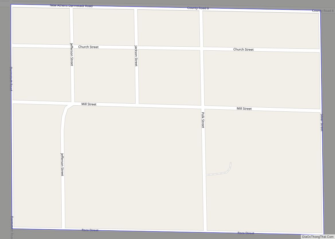
Online Interactive Map
Click on ![]() to view map in "full screen" mode.
to view map in "full screen" mode.
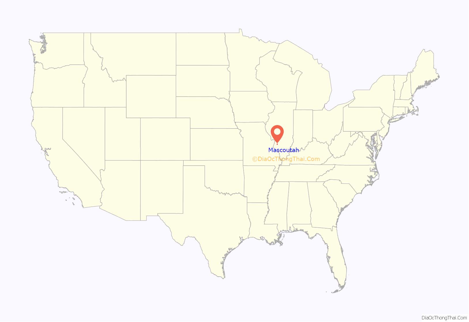
Mascoutah location map. Where is Mascoutah city?
History
The town of Mascoutah was originally established in 1837 as Mechanicsburg. This was disputed with the establishment of a Post Office; the inhabitants were informed that another township in Illinois was already named Mechanicsburg. The town was renamed after the Mascouten tribe, and was officially designated Mascoutah in 1839.
Mascoutah was considered a progressive town near the turn of the 20th century. The town saw steady growth thanks to the construction of a train depot in 1870, courtesy of the Southern Railway Company. The largest Turner Hall in Southern Illinois was established in Mascoutah in 1873 which served as the center of town social life, and the town constructed its own citizen owned power plant in 1894. The Mascoutah Herald was established in 1885 and remains in production to this day. In 1903 the Belleville And Mascoutah Electric Railway Company planned an electric rail system to Belleville that was delayed and never completed.
The train depot shut down, the Turner Hall eventually became the chamber of commerce, and the municipal power plant now houses the city’s fleet and equipment maintenance department.
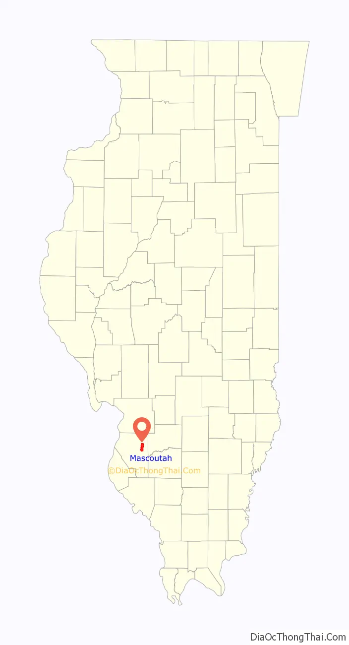
Mascoutah Road Map
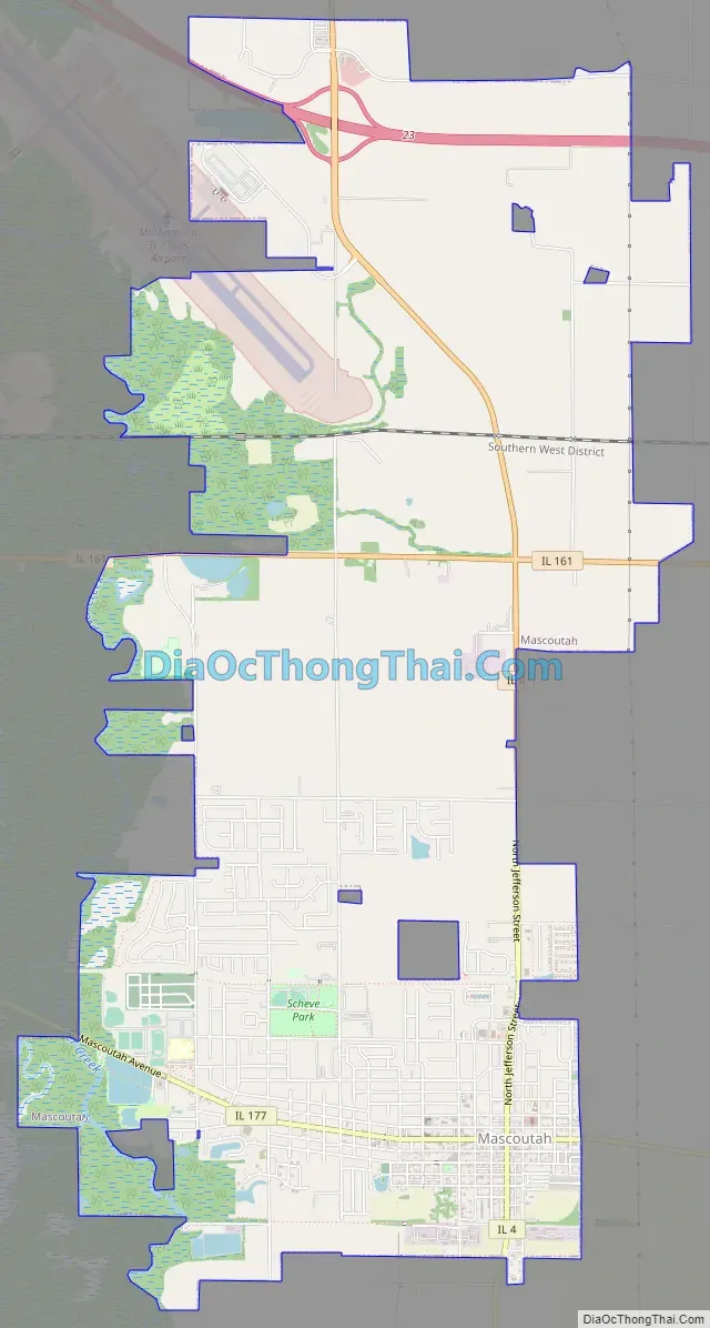
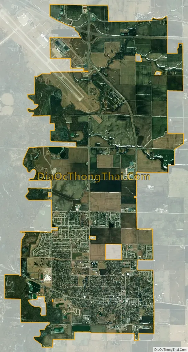
Mascoutah city Satellite Map
Geography
The Mascoutah Civic Center is located at 38°29.5′N 89°47.8′W / 38.4917°N 89.7967°W / 38.4917; -89.7967 (38.4922, -89.7968).
According to the 2010 census, Mascoutah has a total area of 9.65 square miles (24.99 km), of which 9.5 square miles (24.60 km) (or 98.45%) is land and 0.15 square miles (0.39 km) (or 1.55%) is water.
See also
Map of Illinois State and its subdivision:- Adams
- Alexander
- Bond
- Boone
- Brown
- Bureau
- Calhoun
- Carroll
- Cass
- Champaign
- Christian
- Clark
- Clay
- Clinton
- Coles
- Cook
- Crawford
- Cumberland
- De Kalb
- De Witt
- Douglas
- Dupage
- Edgar
- Edwards
- Effingham
- Fayette
- Ford
- Franklin
- Fulton
- Gallatin
- Greene
- Grundy
- Hamilton
- Hancock
- Hardin
- Henderson
- Henry
- Iroquois
- Jackson
- Jasper
- Jefferson
- Jersey
- Jo Daviess
- Johnson
- Kane
- Kankakee
- Kendall
- Knox
- La Salle
- Lake
- Lake Michigan
- Lawrence
- Lee
- Livingston
- Logan
- Macon
- Macoupin
- Madison
- Marion
- Marshall
- Mason
- Massac
- McDonough
- McHenry
- McLean
- Menard
- Mercer
- Monroe
- Montgomery
- Morgan
- Moultrie
- Ogle
- Peoria
- Perry
- Piatt
- Pike
- Pope
- Pulaski
- Putnam
- Randolph
- Richland
- Rock Island
- Saint Clair
- Saline
- Sangamon
- Schuyler
- Scott
- Shelby
- Stark
- Stephenson
- Tazewell
- Union
- Vermilion
- Wabash
- Warren
- Washington
- Wayne
- White
- Whiteside
- Will
- Williamson
- Winnebago
- Woodford
- Alabama
- Alaska
- Arizona
- Arkansas
- California
- Colorado
- Connecticut
- Delaware
- District of Columbia
- Florida
- Georgia
- Hawaii
- Idaho
- Illinois
- Indiana
- Iowa
- Kansas
- Kentucky
- Louisiana
- Maine
- Maryland
- Massachusetts
- Michigan
- Minnesota
- Mississippi
- Missouri
- Montana
- Nebraska
- Nevada
- New Hampshire
- New Jersey
- New Mexico
- New York
- North Carolina
- North Dakota
- Ohio
- Oklahoma
- Oregon
- Pennsylvania
- Rhode Island
- South Carolina
- South Dakota
- Tennessee
- Texas
- Utah
- Vermont
- Virginia
- Washington
- West Virginia
- Wisconsin
- Wyoming