New Burnside is a village in Johnson County, Illinois, United States. The population was 211 at the 2010 census.
| Name: | New Burnside village |
|---|---|
| LSAD Code: | 47 |
| LSAD Description: | village (suffix) |
| State: | Illinois |
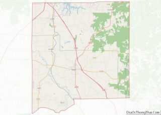
| County: | Johnson County |
| Elevation: | 545 ft (166 m) |
| Total Area: | 1.05 sq mi (2.73 km²) |
| Land Area: | 1.04 sq mi (2.71 km²) |
| Water Area: | 0.01 sq mi (0.02 km²) |
| Total Population: | 153 |
| Population Density: | 146.41/sq mi (56.55/km²) |
| ZIP code: | 62967 |
| Area code: | 618 |
| FIPS code: | 1752285 |
| GNISfeature ID: | 2399459 |
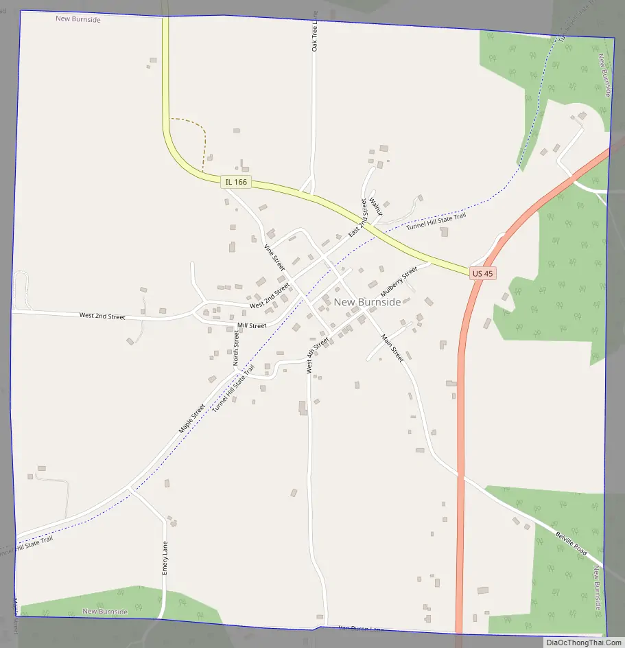
Online Interactive Map
Click on ![]() to view map in "full screen" mode.
to view map in "full screen" mode.
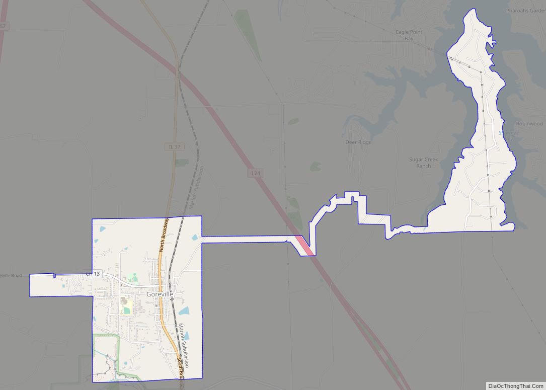
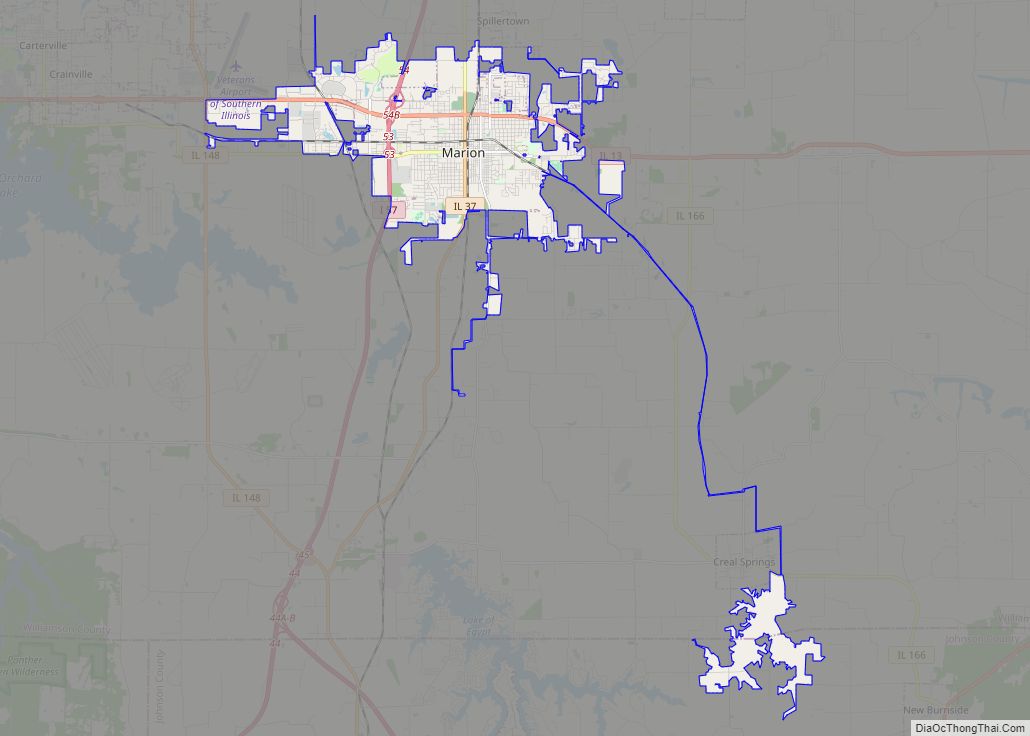
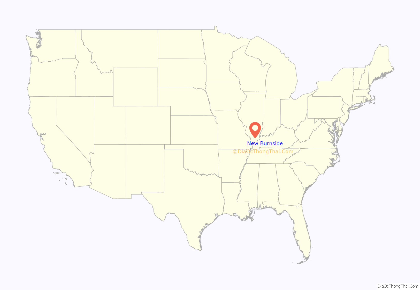
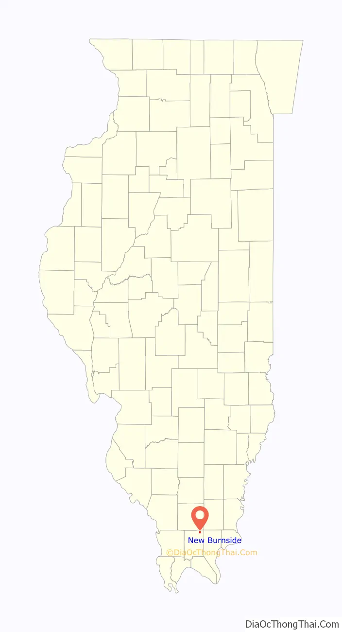
New Burnside location map. Where is New Burnside village?
History
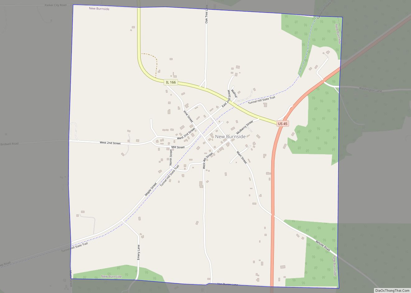
In 1878, New Burnside peaked in population at 1,200 when the railroad ran through the middle of the town. The population decreased gradually after the railroad was abandoned. More recently, the Tunnel Hill State Trail for bicycles was built along the abandoned line. The village was founded in 1872, and was a Cairo and Vincennes Railroad boom-town. Much of its founding was based on the same coal mining industry that grew Harrisburg and Carrier Mills, but slowly turned to an orchard-based economy by 1900. It was named after Civil War general Ambrose Burnside.
New Burnside Road Map
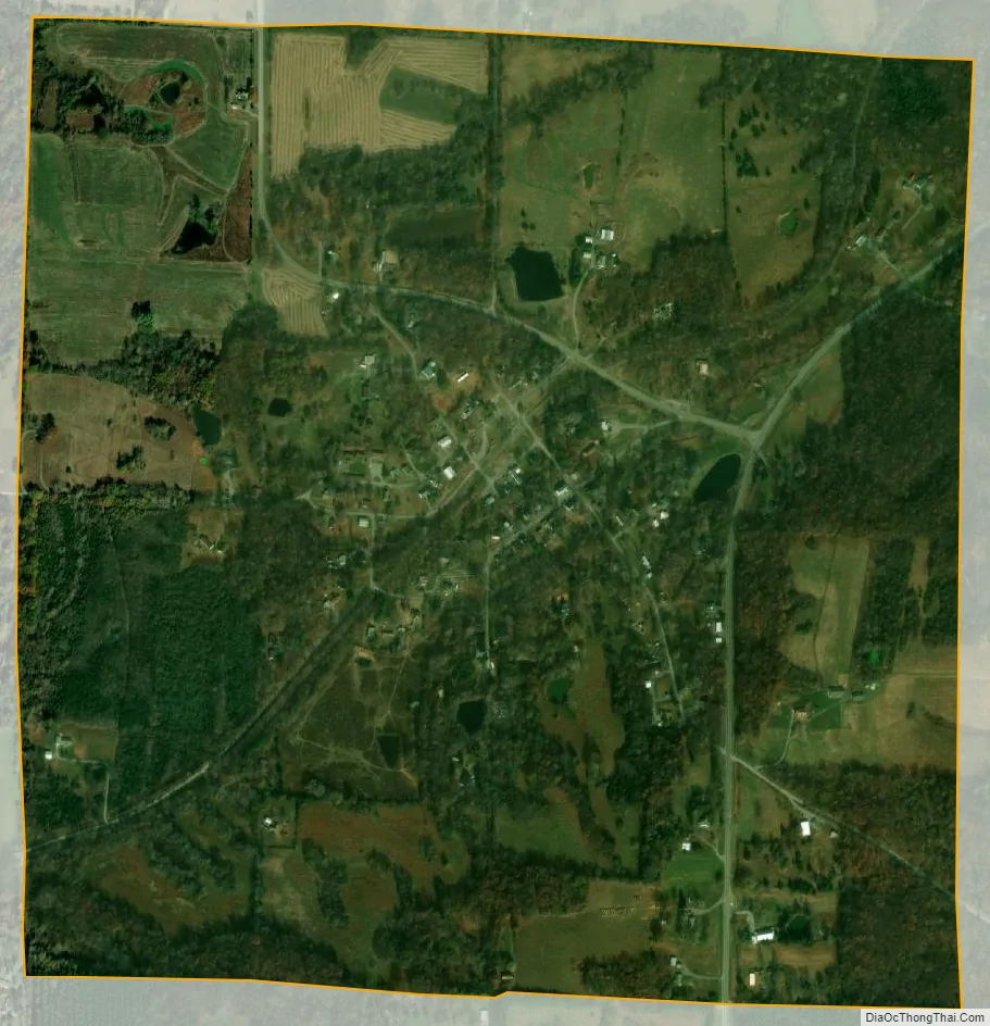
New Burnside city Satellite Map
Geography
New Burnside is located in northeastern Johnson County at 37°34′45″N 88°46′19″W / 37.57917°N 88.77194°W / 37.57917; -88.77194 (37.579166, -88.771983). U.S. Route 45 passes through the east side of the village, leading northeast 18 miles (29 km) to Harrisburg and southwest 15 miles (24 km) to Vienna, the Johnson county seat. Illinois Route 166 has its southern terminus at US-45 and leads through the north side of the village. Marion is 19 miles (31 km) to the northwest via Routes 166 and 13.
According to the 2010 census, New Burnside has a total area of 1.048 square miles (2.71 km), of which 1.04 square miles (2.69 km) (or 99.24%) is land and 0.008 square miles (0.02 km) (or 0.76%) is water.
The village is east of the junction of Interstates 24 and 57.
See also
Map of Illinois State and its subdivision:- Adams
- Alexander
- Bond
- Boone
- Brown
- Bureau
- Calhoun
- Carroll
- Cass
- Champaign
- Christian
- Clark
- Clay
- Clinton
- Coles
- Cook
- Crawford
- Cumberland
- De Kalb
- De Witt
- Douglas
- Dupage
- Edgar
- Edwards
- Effingham
- Fayette
- Ford
- Franklin
- Fulton
- Gallatin
- Greene
- Grundy
- Hamilton
- Hancock
- Hardin
- Henderson
- Henry
- Iroquois
- Jackson
- Jasper
- Jefferson
- Jersey
- Jo Daviess
- Johnson
- Kane
- Kankakee
- Kendall
- Knox
- La Salle
- Lake
- Lake Michigan
- Lawrence
- Lee
- Livingston
- Logan
- Macon
- Macoupin
- Madison
- Marion
- Marshall
- Mason
- Massac
- McDonough
- McHenry
- McLean
- Menard
- Mercer
- Monroe
- Montgomery
- Morgan
- Moultrie
- Ogle
- Peoria
- Perry
- Piatt
- Pike
- Pope
- Pulaski
- Putnam
- Randolph
- Richland
- Rock Island
- Saint Clair
- Saline
- Sangamon
- Schuyler
- Scott
- Shelby
- Stark
- Stephenson
- Tazewell
- Union
- Vermilion
- Wabash
- Warren
- Washington
- Wayne
- White
- Whiteside
- Will
- Williamson
- Winnebago
- Woodford
- Alabama
- Alaska
- Arizona
- Arkansas
- California
- Colorado
- Connecticut
- Delaware
- District of Columbia
- Florida
- Georgia
- Hawaii
- Idaho
- Illinois
- Indiana
- Iowa
- Kansas
- Kentucky
- Louisiana
- Maine
- Maryland
- Massachusetts
- Michigan
- Minnesota
- Mississippi
- Missouri
- Montana
- Nebraska
- Nevada
- New Hampshire
- New Jersey
- New Mexico
- New York
- North Carolina
- North Dakota
- Ohio
- Oklahoma
- Oregon
- Pennsylvania
- Rhode Island
- South Carolina
- South Dakota
- Tennessee
- Texas
- Utah
- Vermont
- Virginia
- Washington
- West Virginia
- Wisconsin
- Wyoming