Omaha is a village in Gallatin County, Illinois, United States. The population was 266 at the 2010 census.
| Name: | Omaha village |
|---|---|
| LSAD Code: | 47 |
| LSAD Description: | village (suffix) |
| State: | Illinois |
| County: | Gallatin County |
| Elevation: | 390 ft (120 m) |
| Total Area: | 0.74 sq mi (1.93 km²) |
| Land Area: | 0.74 sq mi (1.93 km²) |
| Water Area: | 0.00 sq mi (0.00 km²) |
| Total Population: | 209 |
| Population Density: | 280.91/sq mi (108.40/km²) |
| Area code: | 618 |
| FIPS code: | 1756003 |
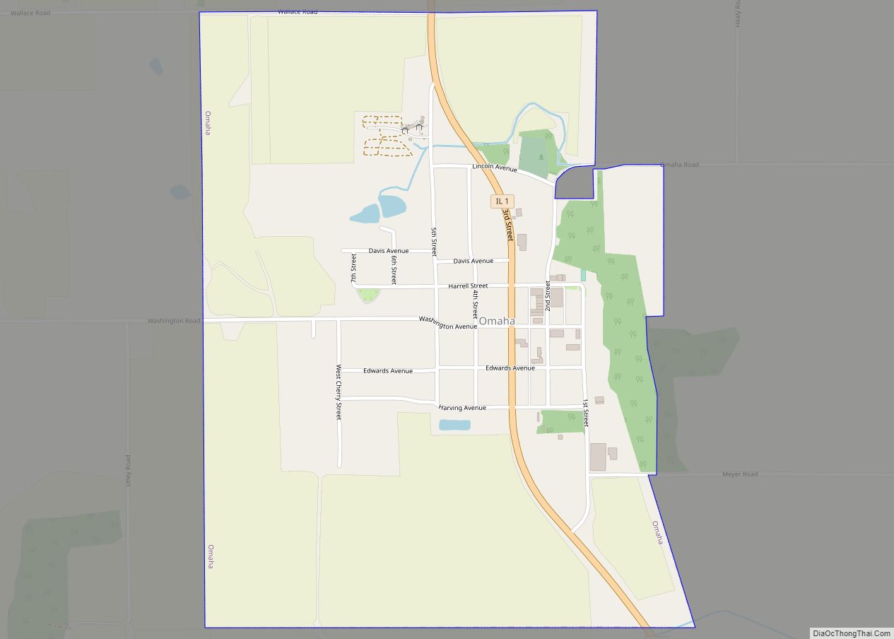
Online Interactive Map
Click on ![]() to view map in "full screen" mode.
to view map in "full screen" mode.
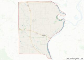
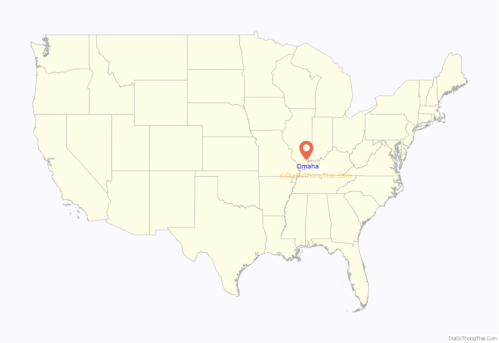
Omaha location map. Where is Omaha village?

History
Omaha was established in 1871 as a stop along the Springfield and Illinois South Eastern Railway. A baggage master working for the railroad, Henry Pearce, named the settlement for Omaha, Nebraska, where he had previously worked as a baggage master. After an initial attempt at incorporation failed in 1875, Omaha successfully incorporated in 1888.
Omaha is home to many strawberry farms and used to hold an annual “Strawberry Day” in May. In Southern Illinois, Omaha is well known for one of the area’s largest and most popular furniture stores, “Omaha Furniture,” which has been in business since 1932.
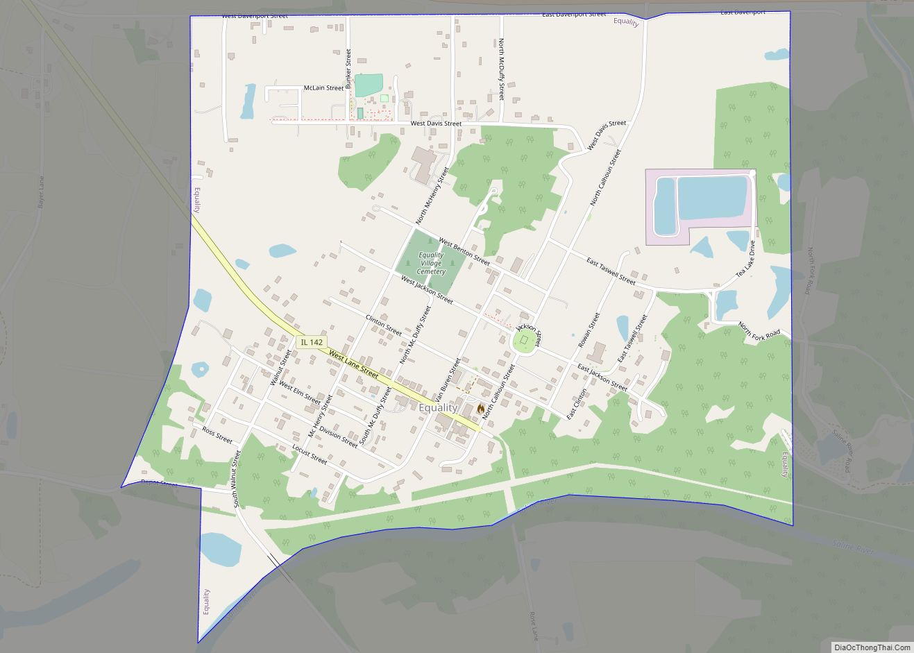
Omaha Road Map

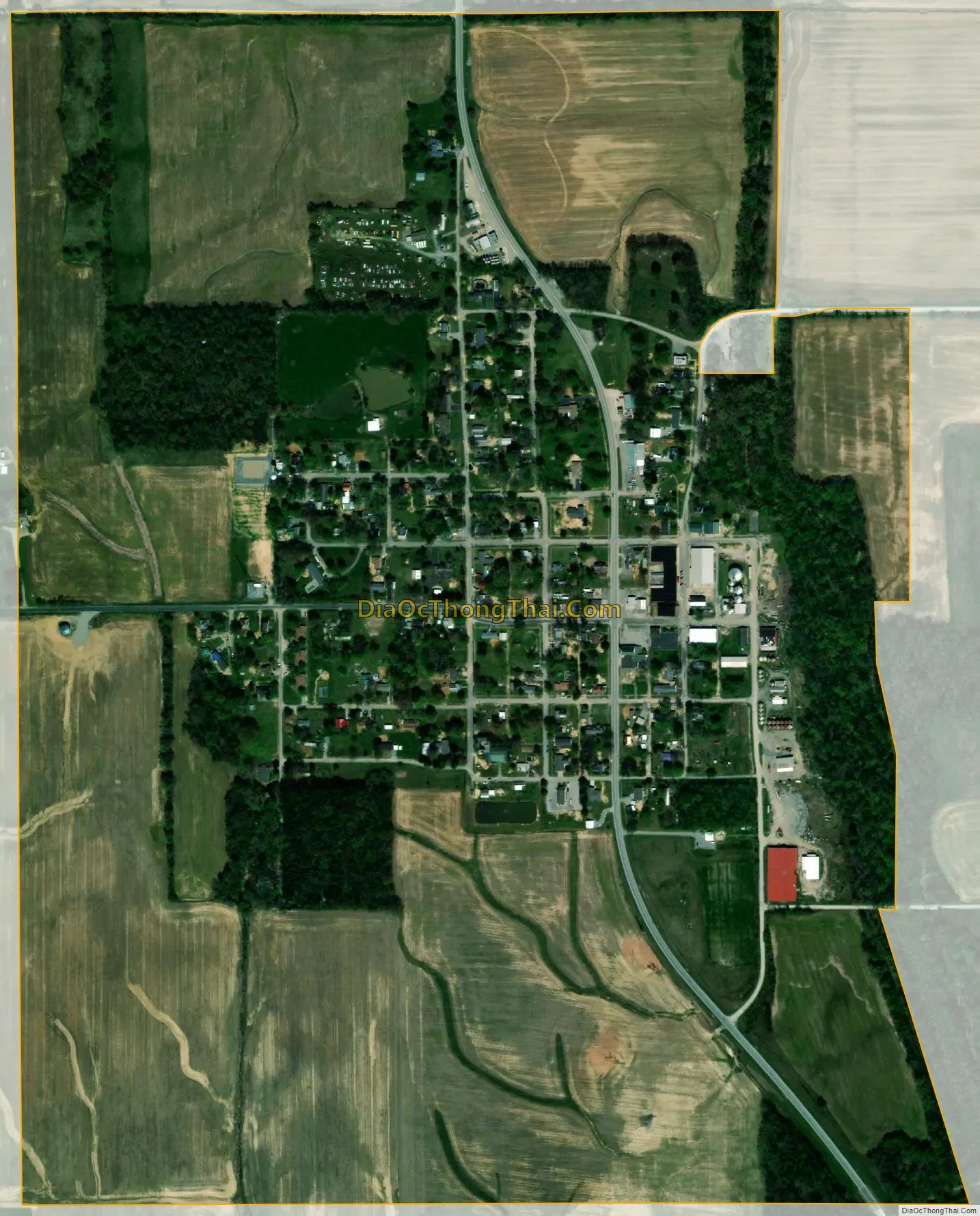
Omaha city Satellite Map
Geography
Omaha is located in northwestern Gallatin County at 37°53′24″N 88°18′12″W / 37.89000°N 88.30333°W / 37.89000; -88.30333 (37.889963, -88.303341). Illinois Route 1 passes through the village, leading north 7 miles (11 km) to Norris City and south 32 miles (51 km) to Cave-in-Rock on the Ohio River. Shawneetown, the Gallatin County seat, is 16 miles (26 km) to the southeast via Routes 1 and 13.
According to the 2010 census, Omaha has a total area of 0.823 square miles (2.13 km), of which 0.82 square miles (2.12 km) (or 99.64%) is land and 0.003 square miles (0.01 km) (or 0.36%) is water.
See also
Map of Illinois State and its subdivision:- Adams
- Alexander
- Bond
- Boone
- Brown
- Bureau
- Calhoun
- Carroll
- Cass
- Champaign
- Christian
- Clark
- Clay
- Clinton
- Coles
- Cook
- Crawford
- Cumberland
- De Kalb
- De Witt
- Douglas
- Dupage
- Edgar
- Edwards
- Effingham
- Fayette
- Ford
- Franklin
- Fulton
- Gallatin
- Greene
- Grundy
- Hamilton
- Hancock
- Hardin
- Henderson
- Henry
- Iroquois
- Jackson
- Jasper
- Jefferson
- Jersey
- Jo Daviess
- Johnson
- Kane
- Kankakee
- Kendall
- Knox
- La Salle
- Lake
- Lake Michigan
- Lawrence
- Lee
- Livingston
- Logan
- Macon
- Macoupin
- Madison
- Marion
- Marshall
- Mason
- Massac
- McDonough
- McHenry
- McLean
- Menard
- Mercer
- Monroe
- Montgomery
- Morgan
- Moultrie
- Ogle
- Peoria
- Perry
- Piatt
- Pike
- Pope
- Pulaski
- Putnam
- Randolph
- Richland
- Rock Island
- Saint Clair
- Saline
- Sangamon
- Schuyler
- Scott
- Shelby
- Stark
- Stephenson
- Tazewell
- Union
- Vermilion
- Wabash
- Warren
- Washington
- Wayne
- White
- Whiteside
- Will
- Williamson
- Winnebago
- Woodford
- Alabama
- Alaska
- Arizona
- Arkansas
- California
- Colorado
- Connecticut
- Delaware
- District of Columbia
- Florida
- Georgia
- Hawaii
- Idaho
- Illinois
- Indiana
- Iowa
- Kansas
- Kentucky
- Louisiana
- Maine
- Maryland
- Massachusetts
- Michigan
- Minnesota
- Mississippi
- Missouri
- Montana
- Nebraska
- Nevada
- New Hampshire
- New Jersey
- New Mexico
- New York
- North Carolina
- North Dakota
- Ohio
- Oklahoma
- Oregon
- Pennsylvania
- Rhode Island
- South Carolina
- South Dakota
- Tennessee
- Texas
- Utah
- Vermont
- Virginia
- Washington
- West Virginia
- Wisconsin
- Wyoming