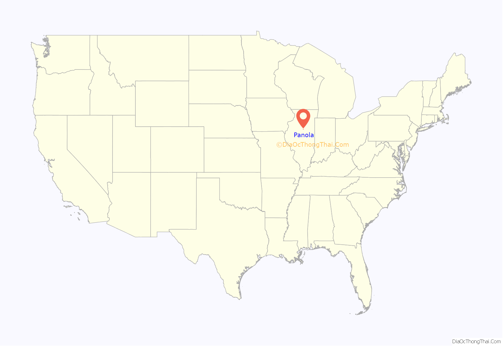
Panola is a village in Woodford County, Illinois, United States. The population was 45 at the 2010 census. It is part of the Peoria, Illinois Metropolitan Statistical Area.
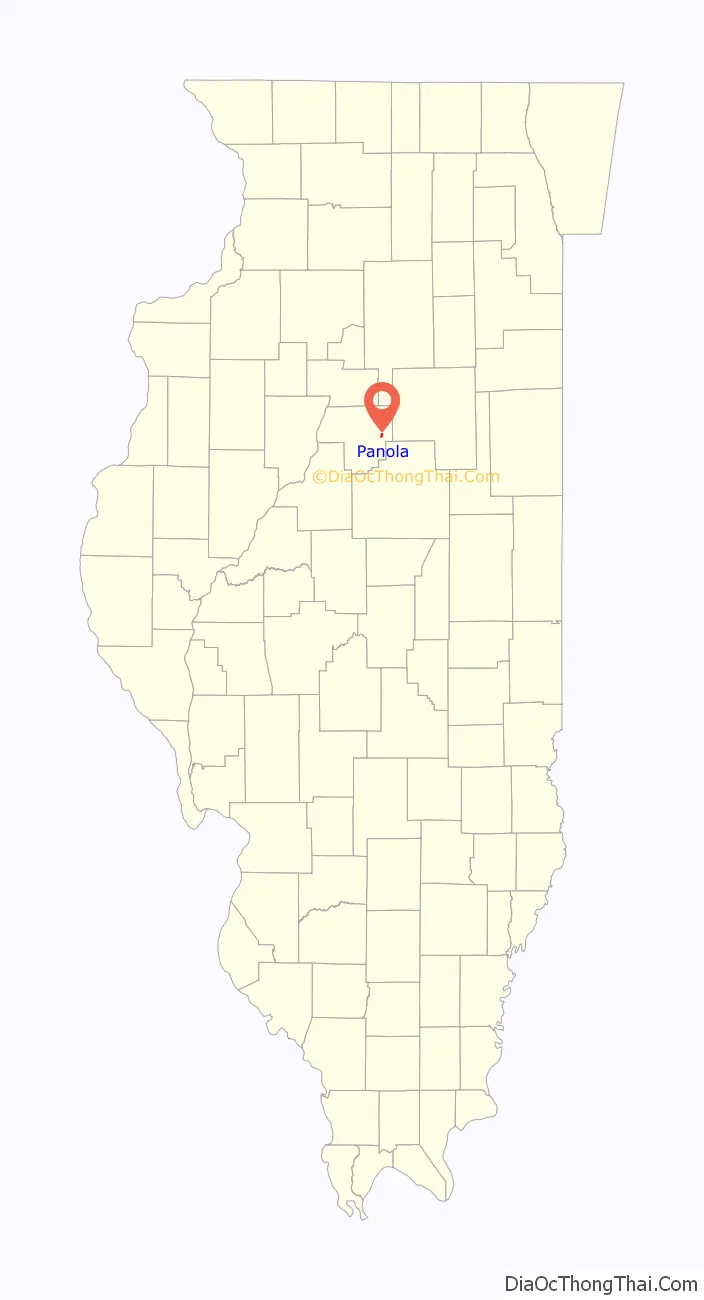
Panola is one of the smallest communities in Illinois today. It is located about 2 miles (3.2 km) north of El Paso, along Illinois Route 251 (next to U.S. 51).
| Name: | Panola village |
|---|---|
| LSAD Code: | 47 |
| LSAD Description: | village (suffix) |
| State: | Illinois |
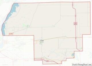
| County: | Woodford County |
| Elevation: | 737 ft (225 m) |
| Total Area: | 0.43 sq mi (1.11 km²) |
| Land Area: | 0.43 sq mi (1.11 km²) |
| Water Area: | 0.00 sq mi (0.00 km²) |
| Total Population: | 47 |
| Population Density: | 109.56/sq mi (42.27/km²) |
| Area code: | 309 |
| FIPS code: | 1757524 |
Online Interactive Map
Click on ![]() to view map in "full screen" mode.
to view map in "full screen" mode.
Panola location map. Where is Panola village?
History
Some sources, including Stewart, pg. 362, as well as several Woodford County history books claim the name Panola was fabricated by J.B. Calhoun, land commissioner of the Illinois Central Railroad, by arbitrarily combining single consonants and vowels. However, the 1954 El Paso Story correctly records that while Panola was assigned by an official of the Illinois Central Railroad, it simply duplicates the name of Panola County, Mississippi as well as several municipalities in the southern U.S. named Panola. Panola is a Native American word for cotton.
Because of its aging population and apparent lack of enthusiasm for others to be involved in operation of the local government, in 2004 the village board of Panola attempted to unincorporate the town. Only one other town in Illinois had successfully unincorporated previously. Of the 33 residents at the time, 27 had voting rights. The measure failed 16 to 11. It needed a majority to pass.
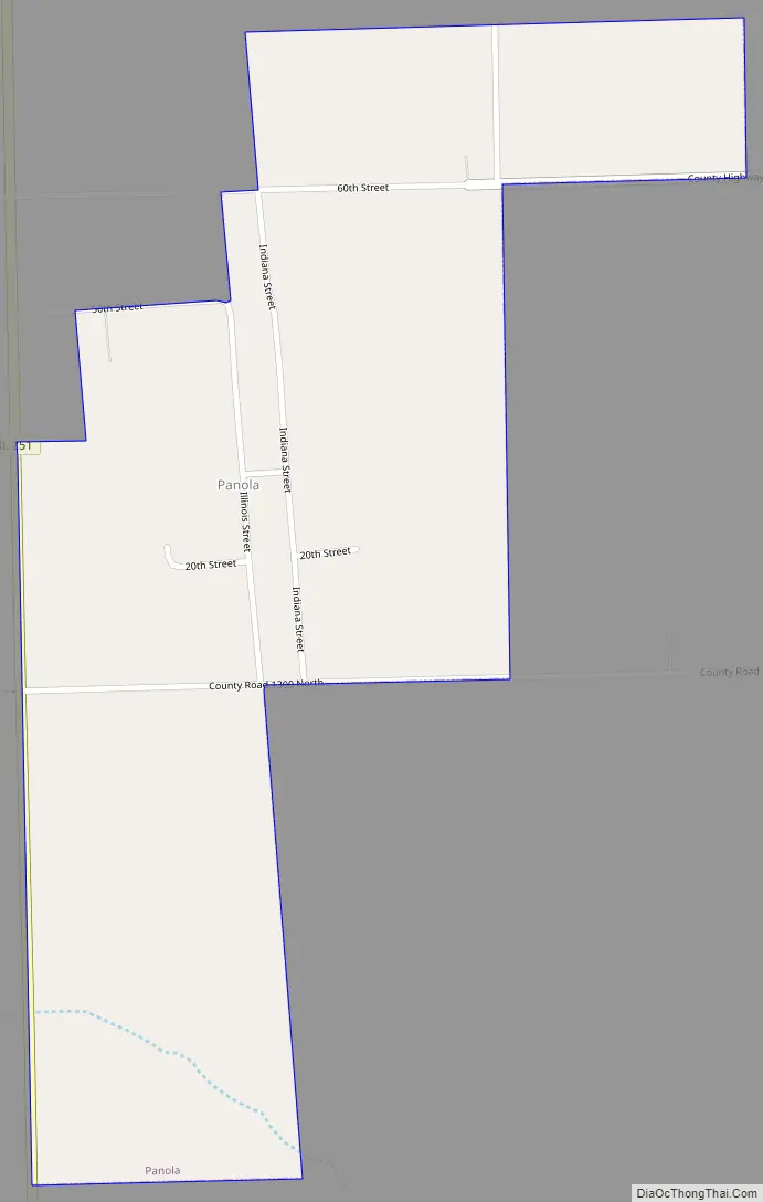
Panola Road Map
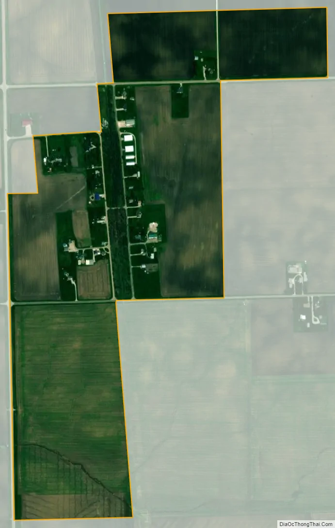
Panola city Satellite Map
Geography
Panola is located at 40°47′6″N 89°1′15″W / 40.78500°N 89.02083°W / 40.78500; -89.02083 (40.785072, -89.020942).
According to the 2010 census, Panola has a total area of 0.2 square miles (0.52 km), all land.
See also
Map of Illinois State and its subdivision:- Adams
- Alexander
- Bond
- Boone
- Brown
- Bureau
- Calhoun
- Carroll
- Cass
- Champaign
- Christian
- Clark
- Clay
- Clinton
- Coles
- Cook
- Crawford
- Cumberland
- De Kalb
- De Witt
- Douglas
- Dupage
- Edgar
- Edwards
- Effingham
- Fayette
- Ford
- Franklin
- Fulton
- Gallatin
- Greene
- Grundy
- Hamilton
- Hancock
- Hardin
- Henderson
- Henry
- Iroquois
- Jackson
- Jasper
- Jefferson
- Jersey
- Jo Daviess
- Johnson
- Kane
- Kankakee
- Kendall
- Knox
- La Salle
- Lake
- Lake Michigan
- Lawrence
- Lee
- Livingston
- Logan
- Macon
- Macoupin
- Madison
- Marion
- Marshall
- Mason
- Massac
- McDonough
- McHenry
- McLean
- Menard
- Mercer
- Monroe
- Montgomery
- Morgan
- Moultrie
- Ogle
- Peoria
- Perry
- Piatt
- Pike
- Pope
- Pulaski
- Putnam
- Randolph
- Richland
- Rock Island
- Saint Clair
- Saline
- Sangamon
- Schuyler
- Scott
- Shelby
- Stark
- Stephenson
- Tazewell
- Union
- Vermilion
- Wabash
- Warren
- Washington
- Wayne
- White
- Whiteside
- Will
- Williamson
- Winnebago
- Woodford
- Alabama
- Alaska
- Arizona
- Arkansas
- California
- Colorado
- Connecticut
- Delaware
- District of Columbia
- Florida
- Georgia
- Hawaii
- Idaho
- Illinois
- Indiana
- Iowa
- Kansas
- Kentucky
- Louisiana
- Maine
- Maryland
- Massachusetts
- Michigan
- Minnesota
- Mississippi
- Missouri
- Montana
- Nebraska
- Nevada
- New Hampshire
- New Jersey
- New Mexico
- New York
- North Carolina
- North Dakota
- Ohio
- Oklahoma
- Oregon
- Pennsylvania
- Rhode Island
- South Carolina
- South Dakota
- Tennessee
- Texas
- Utah
- Vermont
- Virginia
- Washington
- West Virginia
- Wisconsin
- Wyoming