Sherrard is a village in Mercer County, Illinois, United States. The population was 692 at the 2020 census.
| Name: | Sherrard village |
|---|---|
| LSAD Code: | 47 |
| LSAD Description: | village (suffix) |
| State: | Illinois |
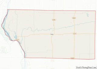
| County: | Mercer County |
| Elevation: | 805 ft (245 m) |
| Total Area: | 1.16 sq mi (3.00 km²) |
| Land Area: | 0.93 sq mi (2.40 km²) |
| Water Area: | 0.23 sq mi (0.60 km²) |
| Total Population: | 692 |
| Population Density: | 745.69/sq mi (288.00/km²) |
| ZIP code: | 61281 |
| Area code: | 309 |
| FIPS code: | 1769368 |
Online Interactive Map
Click on ![]() to view map in "full screen" mode.
to view map in "full screen" mode.
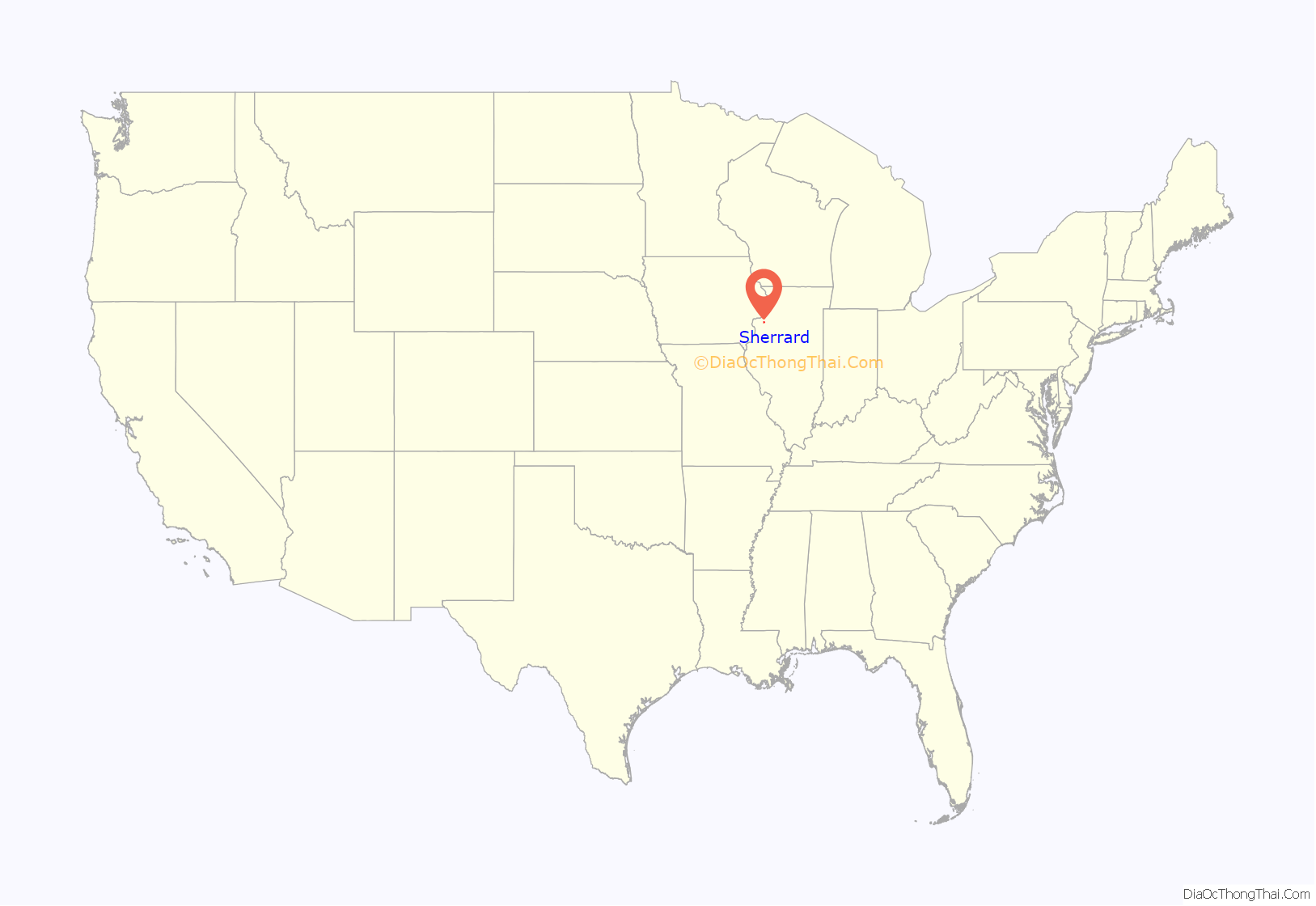
Sherrard location map. Where is Sherrard village?

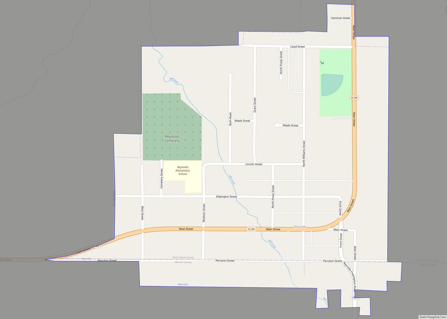
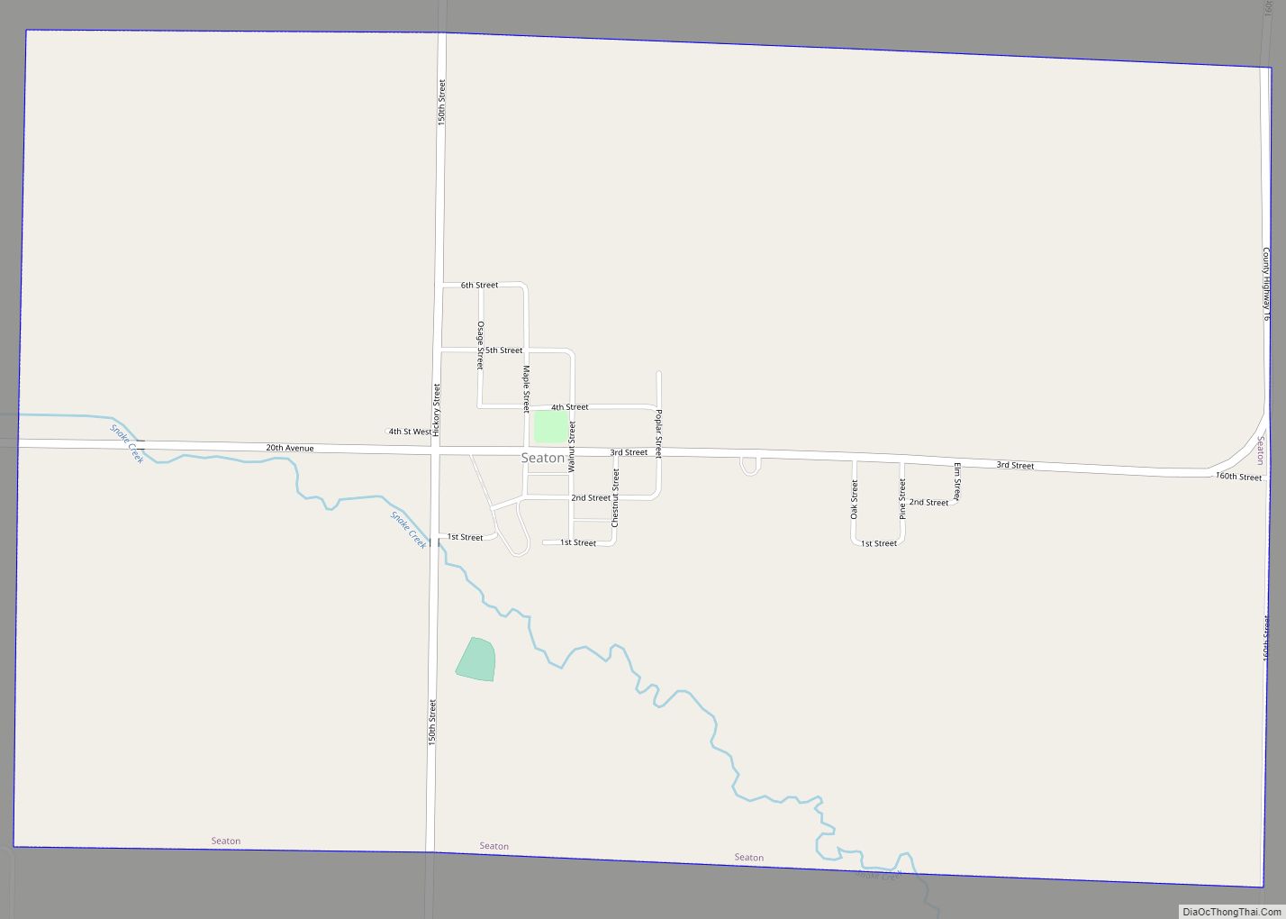
Sherrard Road Map

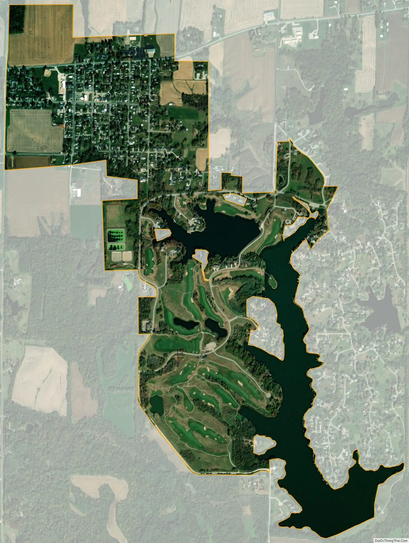
Sherrard city Satellite Map
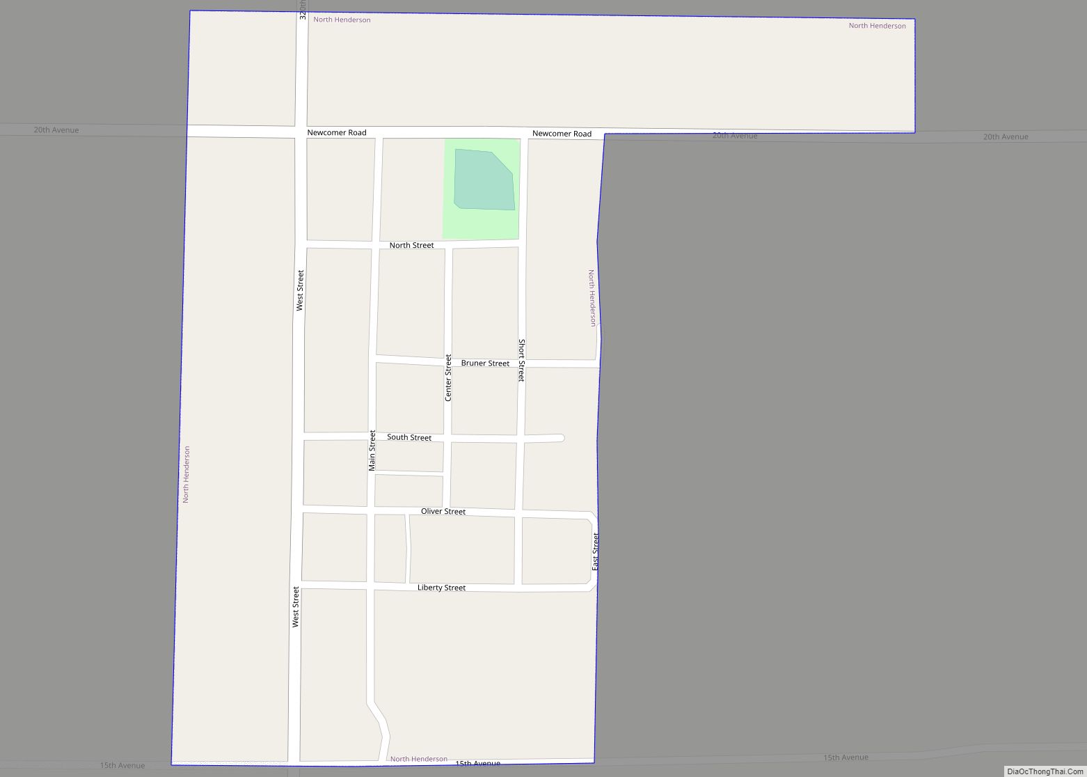
Geography
Sherrard is located in northeastern Mercer County at 41°19′6″N 90°30′19″W / 41.31833°N 90.50528°W / 41.31833; -90.50528 (41.318470, -90.505396). It is 20 miles (32 km) northeast of Aledo, the county seat, and 16 miles (26 km) south of Rock Island.
According to the U.S. Census Bureau, Sherrard has a total area of 1.16 square miles (3.00 km), of which 0.93 square miles (2.41 km) are land and 0.23 square miles (0.60 km), or 20.0%, are water. The village sits on a flat-topped ridge that drains north toward Mill Creek, a tributary of the Rock River, and south toward Camp Creek, a tributary of the Edwards River. The village limits extend south to include Frye Lake and Karl Lake, reservoirs built in a valley leading toward Camp Creek.
See also
Map of Illinois State and its subdivision:- Adams
- Alexander
- Bond
- Boone
- Brown
- Bureau
- Calhoun
- Carroll
- Cass
- Champaign
- Christian
- Clark
- Clay
- Clinton
- Coles
- Cook
- Crawford
- Cumberland
- De Kalb
- De Witt
- Douglas
- Dupage
- Edgar
- Edwards
- Effingham
- Fayette
- Ford
- Franklin
- Fulton
- Gallatin
- Greene
- Grundy
- Hamilton
- Hancock
- Hardin
- Henderson
- Henry
- Iroquois
- Jackson
- Jasper
- Jefferson
- Jersey
- Jo Daviess
- Johnson
- Kane
- Kankakee
- Kendall
- Knox
- La Salle
- Lake
- Lake Michigan
- Lawrence
- Lee
- Livingston
- Logan
- Macon
- Macoupin
- Madison
- Marion
- Marshall
- Mason
- Massac
- McDonough
- McHenry
- McLean
- Menard
- Mercer
- Monroe
- Montgomery
- Morgan
- Moultrie
- Ogle
- Peoria
- Perry
- Piatt
- Pike
- Pope
- Pulaski
- Putnam
- Randolph
- Richland
- Rock Island
- Saint Clair
- Saline
- Sangamon
- Schuyler
- Scott
- Shelby
- Stark
- Stephenson
- Tazewell
- Union
- Vermilion
- Wabash
- Warren
- Washington
- Wayne
- White
- Whiteside
- Will
- Williamson
- Winnebago
- Woodford
- Alabama
- Alaska
- Arizona
- Arkansas
- California
- Colorado
- Connecticut
- Delaware
- District of Columbia
- Florida
- Georgia
- Hawaii
- Idaho
- Illinois
- Indiana
- Iowa
- Kansas
- Kentucky
- Louisiana
- Maine
- Maryland
- Massachusetts
- Michigan
- Minnesota
- Mississippi
- Missouri
- Montana
- Nebraska
- Nevada
- New Hampshire
- New Jersey
- New Mexico
- New York
- North Carolina
- North Dakota
- Ohio
- Oklahoma
- Oregon
- Pennsylvania
- Rhode Island
- South Carolina
- South Dakota
- Tennessee
- Texas
- Utah
- Vermont
- Virginia
- Washington
- West Virginia
- Wisconsin
- Wyoming