Skokie (/ˈskoʊki/; formerly Niles Center) is a village in Cook County, Illinois, United States, neighboring the City of Chicago’s northern border. Skokie’s population, according to the 2020 census, is 67,824. Skokie lies approximately 15 miles (24 km) north of Chicago’s downtown Loop. The name Chicago comes from a Potawatomi word for “marsh”. For many years, Skokie promoted itself as “The World’s Largest Village”. Skokie’s streets, like that of many suburbs, are largely a continuation of the Chicago street grid, and the village is served by the Chicago Transit Authority, further cementing its connection to the city.
Skokie was originally a German-Luxembourger farming community, but was later settled by a sizeable Jewish population, especially after World War II. At its peak in the mid-1960s, 58% of the population was Jewish, the largest proportion of any Chicago suburb. Skokie still has many Jewish residents (now about 30% of the population) and over a dozen synagogues. It is home to the Illinois Holocaust Museum and Education Center, which opened in northwest Skokie in 2009.
Skokie has twice received national attention for court cases decided by the United States Supreme Court. In the mid-1970s, it was at the center of National Socialist Party of America v. Village of Skokie, in which a Nazi group, backed by the American Civil Liberties Union, invoked the First Amendment in an attempt to schedule a Nazi rally in Skokie. At the time, Skokie had a significant population of Holocaust survivors. Skokie ultimately lost that case, though the rally was never held.
| Name: | Skokie village |
|---|---|
| LSAD Code: | 47 |
| LSAD Description: | village (suffix) |
| State: | Illinois |
| County: | Cook County |
| Incorporated: | 1888 |
| Total Area: | 10.06 sq mi (26.07 km²) |
| Land Area: | 10.06 sq mi (26.07 km²) |
| Water Area: | 0.00 sq mi (0.00 km²) 0% |
| Total Population: | 67,824 |
| Population Density: | 6,739.27/sq mi (2,602.03/km²) |
| Area code: | 847 & 224 |
| FIPS code: | 1770122 |
| Website: | skokie.org |
Online Interactive Map
Click on ![]() to view map in "full screen" mode.
to view map in "full screen" mode.
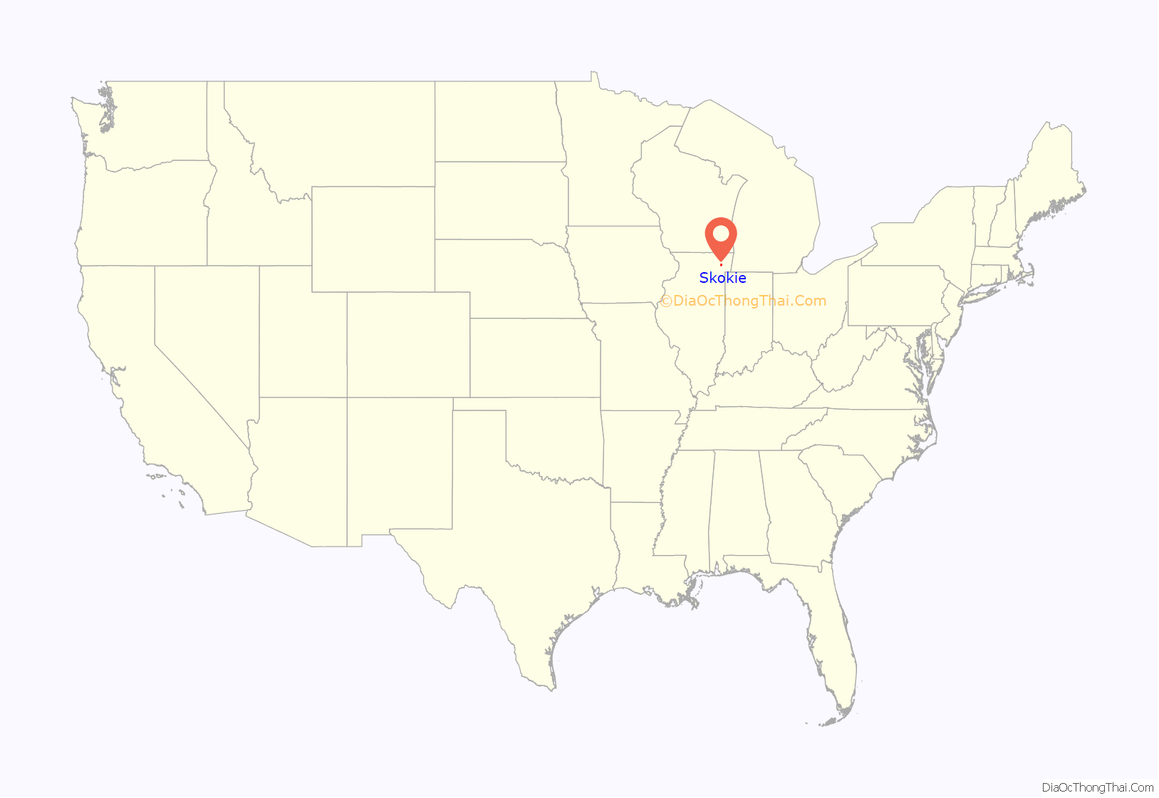
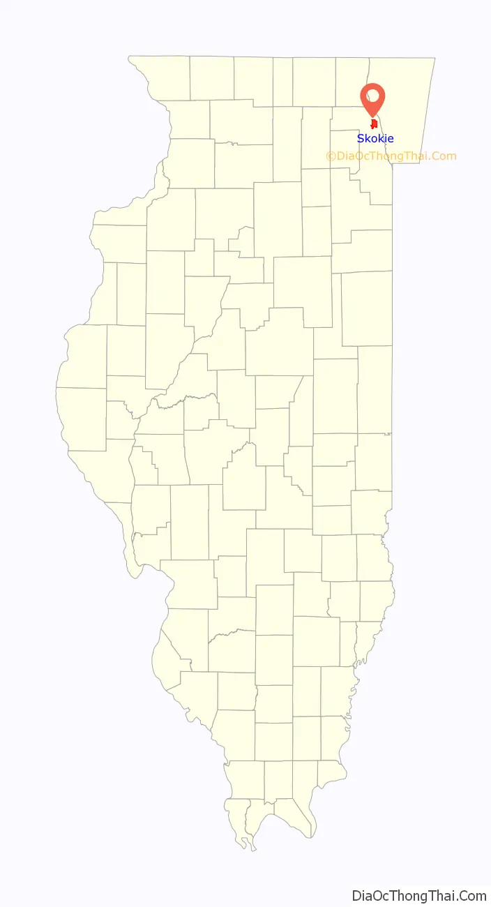
Skokie location map. Where is Skokie village?
History
Beginnings
In 1888, the community was incorporated as Niles Centre. About 1910, the spelling was Americanized to “Niles Center”. However, the name caused postal confusion with the neighboring village of Niles. A village-renaming campaign began in the 1930s. In a referendum on November 15, 1940, residents chose the Native American name “Skokie” over the name “Devonshire”.
During the real estate boom of the 1920s, large parcels were subdivided; many two- and three-flat apartment buildings were built, with the “Chicago”-style bungalow a dominant architectural specimen. Large-scale development ended as a result of the Great Crash of 1929 and consequent Great Depression. It was not until the 1940s and the 1950s, when parents of the baby boom generation moved their families out of Chicago, that Skokie’s housing development began again. Consequently, the village developed commercially, an example being the Old Orchard Shopping Center, currently named Westfield Old Orchard.
During the night of November 27–28, 1934, after a gunfight in nearby Barrington that left two FBI agents dead, two accomplices of notorious 25-year-old bank-robber Baby Face Nelson (Lester Gillis) dumped his bullet-riddled body in a ditch along Niles Center Road adjoining the St. Peter Catholic Cemetery, a block north of Oakton Street in the town.
The first African-American family to move to Skokie arrived in 1961, and open-housing activists helped to integrate the suburb subsequently.
Name
Historic maps named the Skokie marsh as Chewab Skokie, a probable derivation from Kitchi-wap choku, a Potawatomi term meaning “great marsh”. Other Indigenous names include skoutay or scoti, an Algonquian words for “fire”. “Skokie Marsh” was used by local botanists, notably Henry Chandler Cowles, as early as 1901. The village name was changed from “Niles Center” to “Skokie” by referendum in 1940. The name change may also have been influenced by James Foster Porter, a Chicago resident, who had explored the “Skoki Valley” in Banff National Park in Canada in 1911 and admired the name; Porter supported the name “Skokie” in the referendum.
Supreme Court rulings
Twice in its history, Skokie has been the focal point of cases before the United States Supreme Court. National Socialist Party of America v. Village of Skokie, 432 U.S. 43 (1977), involved a First Amendment issue. Solid Waste Agency of Northern Cook County (SWANCC) v. U.S. Army Corps of Engineers, 531 U.S. 159 (2001) touched upon the Commerce Clause.
In 1977 and 1978, Illinois neo-Nazis of the National Socialist Party of America (NSPA) attempted to hold a march in Skokie, far from their headquarters on Chicago’s south side. Originally, the neo-Nazis had planned a political rally in Marquette Park in Chicago. The park is located in what was then a predominantly all-white neighborhood, similar to the situation in 1966, when a crowd of 4,000 Marquette Park residents gathered to watch Martin Luther King Jr. lead a march, some waving Confederate flags or throwing bottles, bricks and rocks at the protesters; King was knocked to his knees when struck by a rock. However, the Chicago authorities thwarted the NSPA’s plans.
Seeking another free-speech political venue, the NSPA group chose to march on Skokie. Given the many Holocaust survivors living in Skokie, the village’s government thought the Nazi march would be disruptive, and refused the NSPA permission to hold the event. The NSPA appealed that decision, and the American Civil Liberties Union interceded on their behalf, in National Socialist Party of America v. Village of Skokie. An Illinois appeals court raised the injunction issued by a Cook County Circuit Court judge, ruling that the presence of the swastika, the Nazi emblem, would constitute deliberate provocation of the people of Skokie. However, the Court also ruled that Skokie’s attorneys had failed to prove that either the Nazi uniform or their printed materials, which it was alleged that the Nazis intended to distribute, would incite violence.
Moreover, because Chicago subsequently lifted its Marquette Park political demonstration ban, the NSPA ultimately held its rally in Chicago. The attempted Illinois Nazi march on Skokie was dramatized in the television film Skokie in 1981. It was satirized in the film The Blues Brothers in 1980.
In 2001, the decision by Skokie and 22 other communities belonging to the Solid Waste Agency of Northern Cook County to use an isolated wetland as a solid waste disposal site resulted in a lawsuit. Ultimately, the case went all the way to the United States Supreme Court, and resulted in an overturn of the federal migratory bird rule.
Skokie Road Map

Skokie city Satellite Map

Geography
According to the 2010 census, Skokie has a total area of 10.06 square miles (26.06 km), all land. The village is bordered by Evanston to the east, Chicago to the southeast and southwest, Lincolnwood to the south, Niles to the southwest, Morton Grove to the west, Glenview to the northwest, and Wilmette to the north.
The village’s street circulation is a street-grid pattern, with a major east–west thoroughfare every half mile: Old Orchard Road, Golf Road, Church Street, Dempster Street, Main Street, Oakton Street, Howard Street, and Touhy Avenue. The major north–south thoroughfares are Skokie Boulevard, Crawford Avenue, and McCormick Boulevard; the major diagonal streets are Lincoln Avenue, Niles Center Road, East Prairie Road and Gross Point Road.
Skokie’s north–south streets continue the street names and (house number) grid values of Chicago’s north–south streets – with the notable exceptions of Cicero Avenue, which is renamed Skokie Boulevard within Skokie, and Chicago’s Pulaski Road retains its original Chicago City name, Crawford Avenue. The east–west streets continue Evanston’s street names, but with Chicago grid values, such that Evanston’s Dempster Street is 8800 north in Skokie addresses.
See also
Map of Illinois State and its subdivision:- Adams
- Alexander
- Bond
- Boone
- Brown
- Bureau
- Calhoun
- Carroll
- Cass
- Champaign
- Christian
- Clark
- Clay
- Clinton
- Coles
- Cook
- Crawford
- Cumberland
- De Kalb
- De Witt
- Douglas
- Dupage
- Edgar
- Edwards
- Effingham
- Fayette
- Ford
- Franklin
- Fulton
- Gallatin
- Greene
- Grundy
- Hamilton
- Hancock
- Hardin
- Henderson
- Henry
- Iroquois
- Jackson
- Jasper
- Jefferson
- Jersey
- Jo Daviess
- Johnson
- Kane
- Kankakee
- Kendall
- Knox
- La Salle
- Lake
- Lake Michigan
- Lawrence
- Lee
- Livingston
- Logan
- Macon
- Macoupin
- Madison
- Marion
- Marshall
- Mason
- Massac
- McDonough
- McHenry
- McLean
- Menard
- Mercer
- Monroe
- Montgomery
- Morgan
- Moultrie
- Ogle
- Peoria
- Perry
- Piatt
- Pike
- Pope
- Pulaski
- Putnam
- Randolph
- Richland
- Rock Island
- Saint Clair
- Saline
- Sangamon
- Schuyler
- Scott
- Shelby
- Stark
- Stephenson
- Tazewell
- Union
- Vermilion
- Wabash
- Warren
- Washington
- Wayne
- White
- Whiteside
- Will
- Williamson
- Winnebago
- Woodford
- Alabama
- Alaska
- Arizona
- Arkansas
- California
- Colorado
- Connecticut
- Delaware
- District of Columbia
- Florida
- Georgia
- Hawaii
- Idaho
- Illinois
- Indiana
- Iowa
- Kansas
- Kentucky
- Louisiana
- Maine
- Maryland
- Massachusetts
- Michigan
- Minnesota
- Mississippi
- Missouri
- Montana
- Nebraska
- Nevada
- New Hampshire
- New Jersey
- New Mexico
- New York
- North Carolina
- North Dakota
- Ohio
- Oklahoma
- Oregon
- Pennsylvania
- Rhode Island
- South Carolina
- South Dakota
- Tennessee
- Texas
- Utah
- Vermont
- Virginia
- Washington
- West Virginia
- Wisconsin
- Wyoming


