South Pekin is a village in Tazewell County, Illinois, United States. The population was 996 at the 2020 census and is part of the Peoria, Illinois Metropolitan Statistical Area.
| Name: | South Pekin village |
|---|---|
| LSAD Code: | 47 |
| LSAD Description: | village (suffix) |
| State: | Illinois |
| County: | Tazewell County |
| Founded: | April 12, 1917 |
| Elevation: | 512 ft (156 m) |
| Land Area: | 0.52 sq mi (1.33 km²) |
| Water Area: | 0.00 sq mi (0.00 km²) |
| Population Density: | 1,933.98/sq mi (747.41/km²) |
| Area code: | 309 |
| FIPS code: | 1771175 |
| GNISfeature ID: | 2399852 |
| Website: | villageofsouthpekin.org |
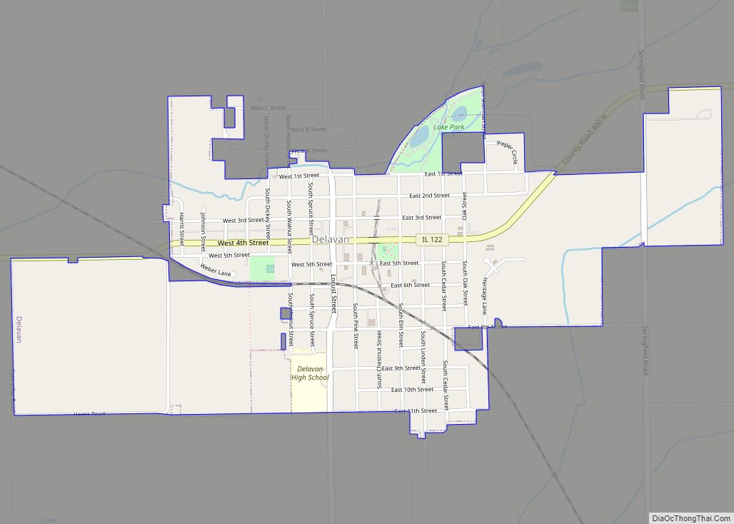
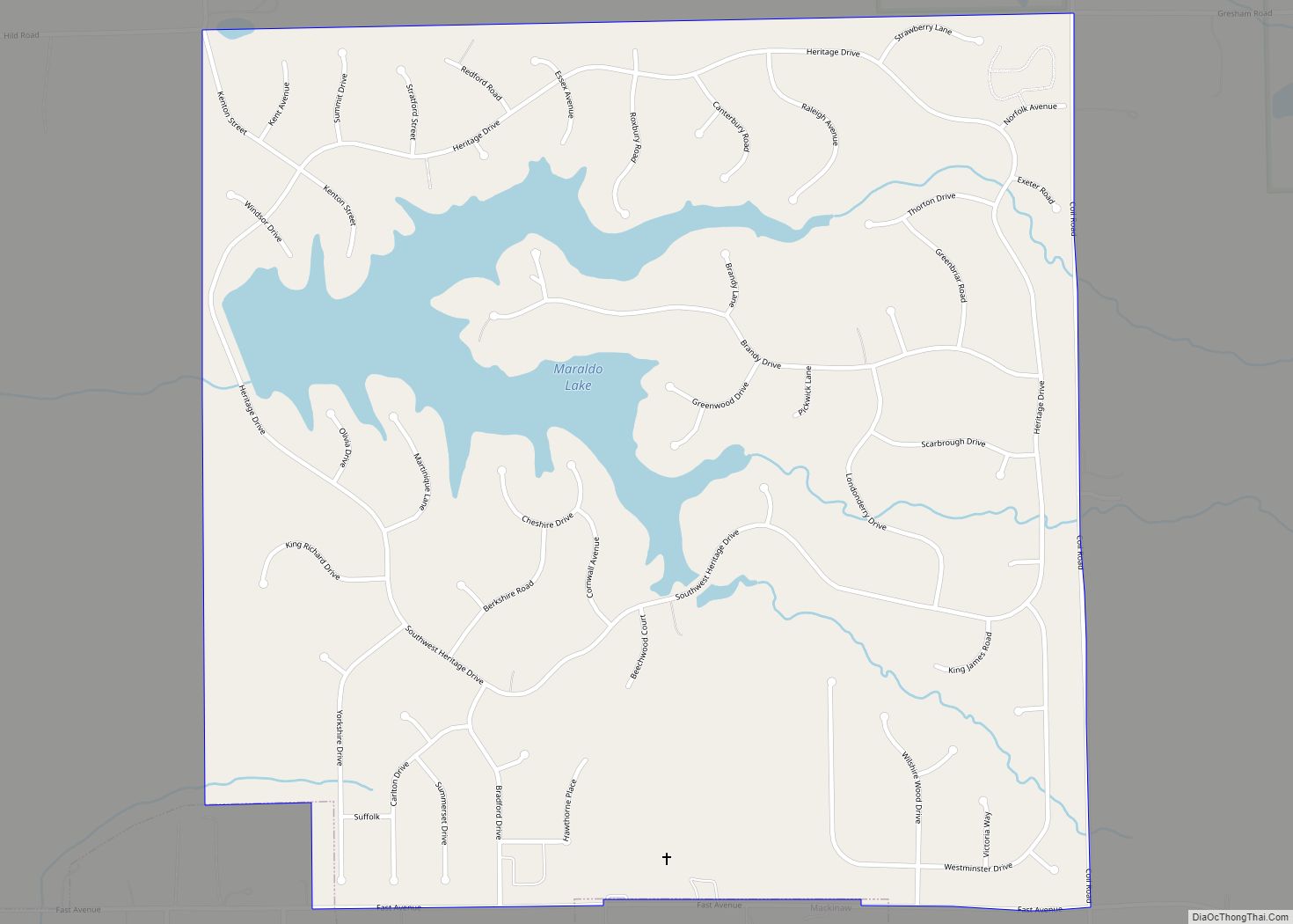
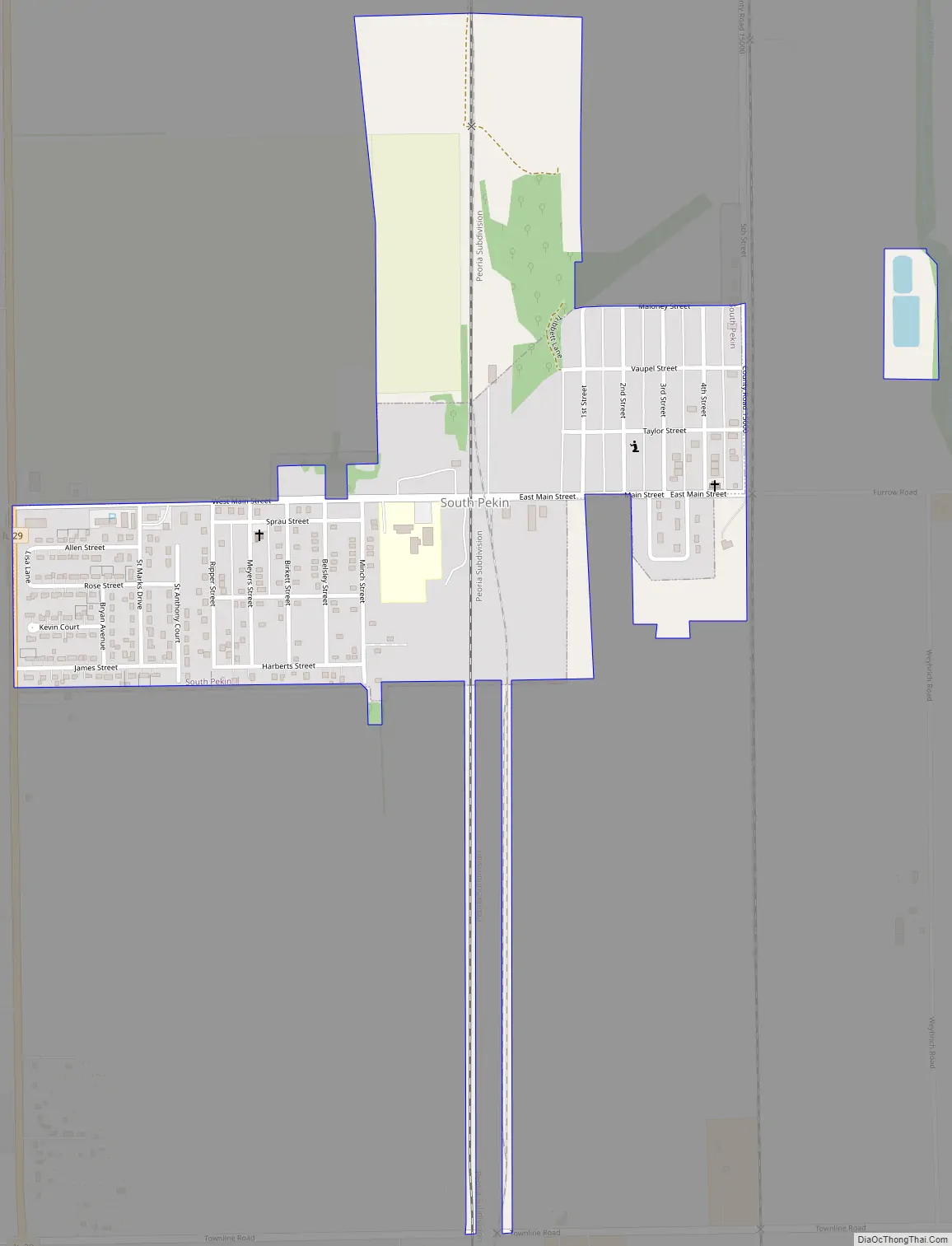
Online Interactive Map
Click on ![]() to view map in "full screen" mode.
to view map in "full screen" mode.
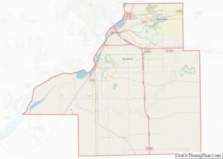
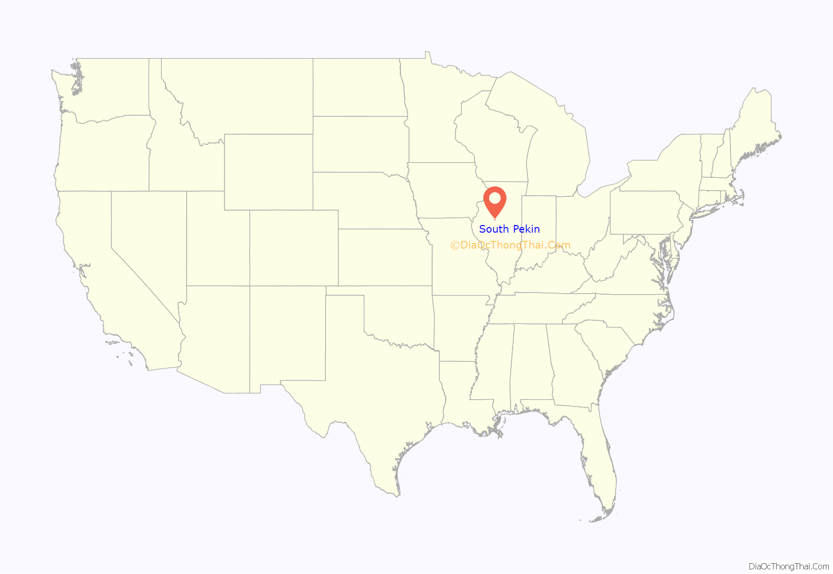
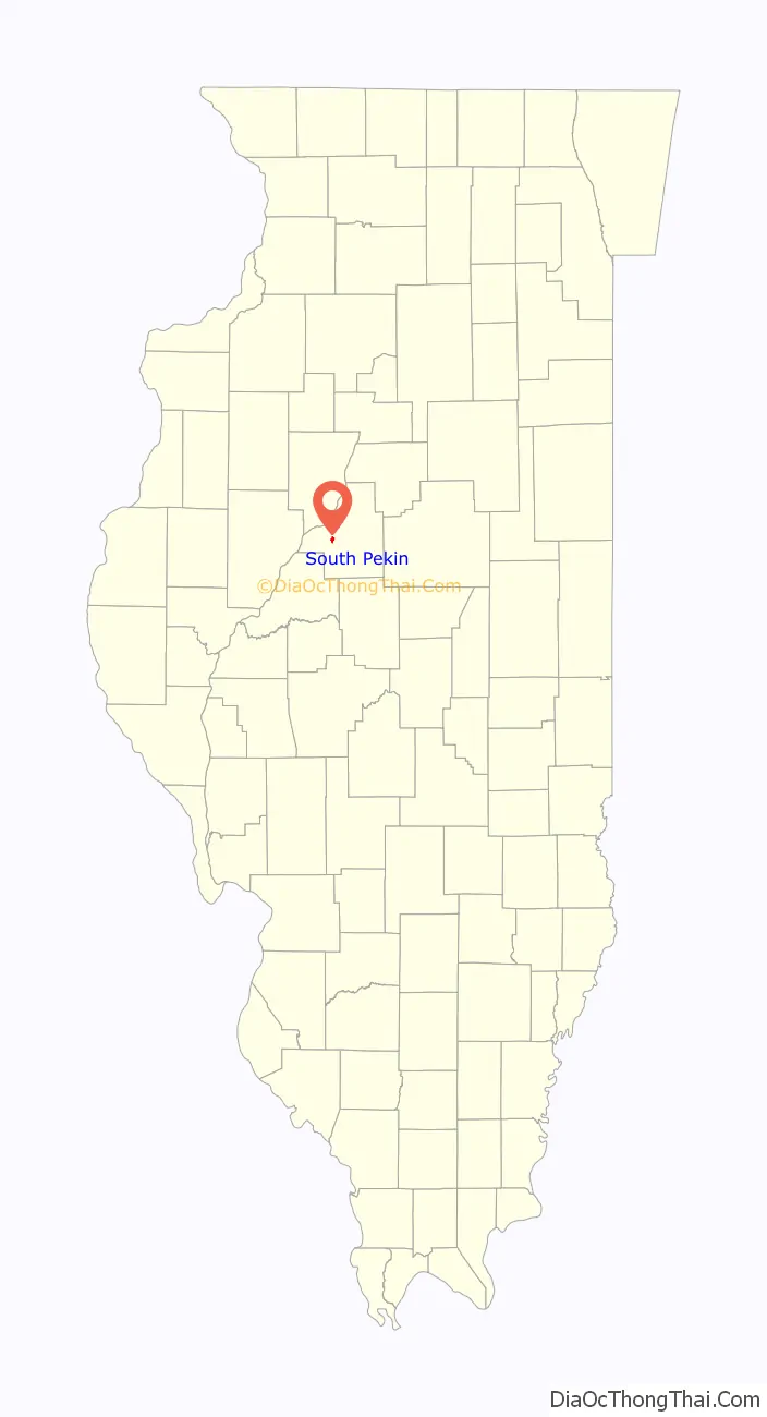
South Pekin location map. Where is South Pekin village?
History
South Pekin was incorporated on April 12, 1917, five miles south of Pekin in an area previously known as “McFadden Flats”. The village is located in Sections 27 and 34 of Cincinnati Township, which was formed in 1850. South Pekin owes its origin to the Chicago and Northwestern Railroad, as a railway station.
Settlement in the South Pekin area began in the 1820s with the first arrival of white settlers to what would soon become Tazewell County. The Chicago and Northwestern Railroad made a series of corporate decisions that eventually led to the founding of the village. The railroad constructed its line from Nelson, Illinois to Peoria in 1901. In 1904, C&NW discovered a large coalfield near Staunton in Macoupin County. A few years later, C&NW decided to build a line of access to the coal field and carry freight between Chicago and St. Louis. By March 1912, the right of way had been purchased and construction was started. C&NW needed a water, refueling, and repair station midway on the new line. The first choice for the location of this new station was Green Valley, Illinois, but protests from residents there prompted a change of plans. A new location was chosen, and the railroad and its employees began to build the new station that became South Pekin. The first permanent resident, Al Casper arrived with his family on Christmas Day, 1912. As more families arrived, the railroad gave them boxcars to use as homes on a location that was known as McFadden Flats. The Village of South Pekin was incorporated on April 12, 1917.
The economic possibilities that came with the railroad caused business leaders in Pekin to be very interested to pull the switch yard closer and get the new “railroad people” with steady work and good pay in their town. Ultimately most employees opted to settle close to the yard which was already located in South Pekin. In addition to the numerous blue collar jobs the C&NW operation also brought management positions and erected a three story masonry office building (Demolished near the beginning of the 21st century). South Pekin was a home terminal for Chicago and Northwestern Railroad crews in the twentieth century. Trains were made up in the middle of the town in a “Kick” Yard. After the trains were put together, crews would get on the train and proceed south to East St. Louis or north to Nelson, where they would be relieved and allowed to sleep for the next tour of operation. The Chicago and Northwestern also maintained a bunkhouse in South Pekin where crews could stop for the night. In the 1970s train crews would go onward through Nelson and proceed to Proviso (a suburb of Chicago) or to Clinton, Iowa. At times there were as many as 20 + trains per day either made up at South Pekin or that went through South Pekin.
South Pekin has been a home to a recording studio called Golden Voice Recording, owned and operated by Jerry L and Mary Anne Milam.
Disasters
South Pekin has seen its share of disasters, starting with flooding during the Midwest Flood of 1927. The town’s worst disaster was the F3 tornado of March 30, 1938 that destroyed much of South Pekin and killed nine of the village’s residents, it remains the deadliest tornado in Central Illinois 75 years later. National Weather Service research suggests the storm was a super-cell that spawned up to five tornadoes. On May 9, 1995 another tornado rated F1 moved northeast across town, destroying several garages and destroying a railroad barracks. Two injuries and around one million dollars in damage was reported. On May 15, a tornado touched down just south of town that would later hit Tremont. On May 10, 2003, South Pekin was again hit by a tornado. The tornado touched down three miles southwest of town around 9:45 P.M. and crossed Highway 29 into the village at F3 intensity. It went through the village at 9:50 PM and was about a quarter mile wide. There were 23 injuries in South Pekin but no fatalities. The town was rebuilt over the next ten years and constructed a new tornado warning system.
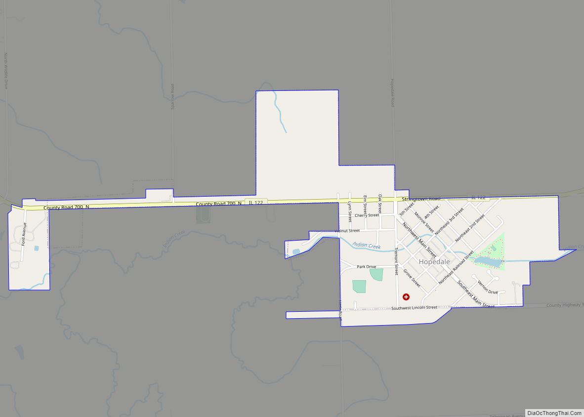
South Pekin Road Map
South Pekin city Satellite Map

Geography
According to the 2010 census, South Pekin has a total area of 0.5 square miles (1.29 km), all land.
See also
Map of Illinois State and its subdivision:- Adams
- Alexander
- Bond
- Boone
- Brown
- Bureau
- Calhoun
- Carroll
- Cass
- Champaign
- Christian
- Clark
- Clay
- Clinton
- Coles
- Cook
- Crawford
- Cumberland
- De Kalb
- De Witt
- Douglas
- Dupage
- Edgar
- Edwards
- Effingham
- Fayette
- Ford
- Franklin
- Fulton
- Gallatin
- Greene
- Grundy
- Hamilton
- Hancock
- Hardin
- Henderson
- Henry
- Iroquois
- Jackson
- Jasper
- Jefferson
- Jersey
- Jo Daviess
- Johnson
- Kane
- Kankakee
- Kendall
- Knox
- La Salle
- Lake
- Lake Michigan
- Lawrence
- Lee
- Livingston
- Logan
- Macon
- Macoupin
- Madison
- Marion
- Marshall
- Mason
- Massac
- McDonough
- McHenry
- McLean
- Menard
- Mercer
- Monroe
- Montgomery
- Morgan
- Moultrie
- Ogle
- Peoria
- Perry
- Piatt
- Pike
- Pope
- Pulaski
- Putnam
- Randolph
- Richland
- Rock Island
- Saint Clair
- Saline
- Sangamon
- Schuyler
- Scott
- Shelby
- Stark
- Stephenson
- Tazewell
- Union
- Vermilion
- Wabash
- Warren
- Washington
- Wayne
- White
- Whiteside
- Will
- Williamson
- Winnebago
- Woodford
- Alabama
- Alaska
- Arizona
- Arkansas
- California
- Colorado
- Connecticut
- Delaware
- District of Columbia
- Florida
- Georgia
- Hawaii
- Idaho
- Illinois
- Indiana
- Iowa
- Kansas
- Kentucky
- Louisiana
- Maine
- Maryland
- Massachusetts
- Michigan
- Minnesota
- Mississippi
- Missouri
- Montana
- Nebraska
- Nevada
- New Hampshire
- New Jersey
- New Mexico
- New York
- North Carolina
- North Dakota
- Ohio
- Oklahoma
- Oregon
- Pennsylvania
- Rhode Island
- South Carolina
- South Dakota
- Tennessee
- Texas
- Utah
- Vermont
- Virginia
- Washington
- West Virginia
- Wisconsin
- Wyoming