Spillertown is a village in Williamson County, Illinois, United States. The population was 203 at the 2010 census and as of 2018, the population has grown to an estimated 272.
| Name: | Spillertown village |
|---|---|
| LSAD Code: | 47 |
| LSAD Description: | village (suffix) |
| State: | Illinois |
| County: | Williamson County |
| Elevation: | 486 ft (148 m) |
| Total Area: | 0.33 sq mi (0.85 km²) |
| Land Area: | 0.32 sq mi (0.83 km²) |
| Water Area: | 0.01 sq mi (0.02 km²) |
| Total Population: | 181 |
| Population Density: | 563.86/sq mi (217.93/km²) |
| ZIP code: | 62959 |
| Area code: | 618 |
| FIPS code: | 1771526 |
| GNISfeature ID: | 2399873 |
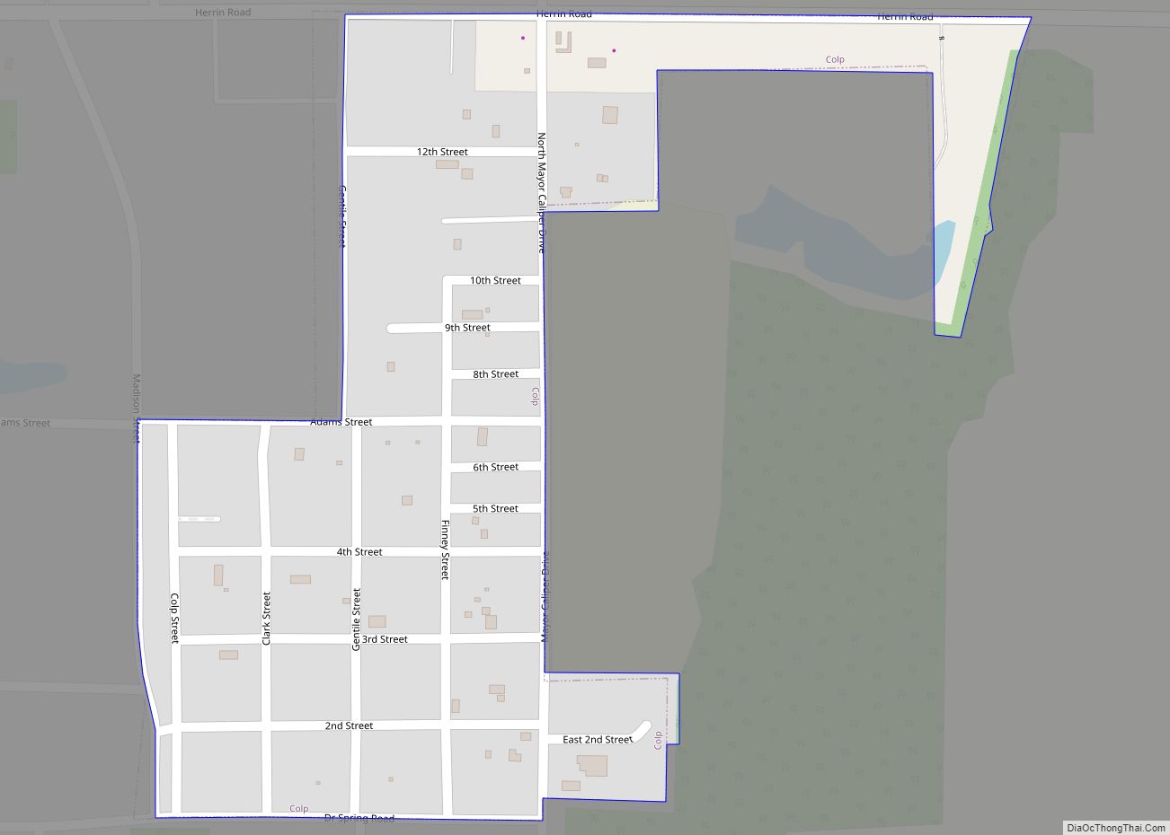
Online Interactive Map
Click on ![]() to view map in "full screen" mode.
to view map in "full screen" mode.
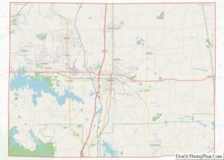
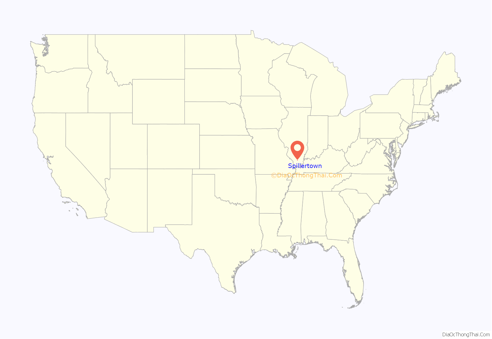
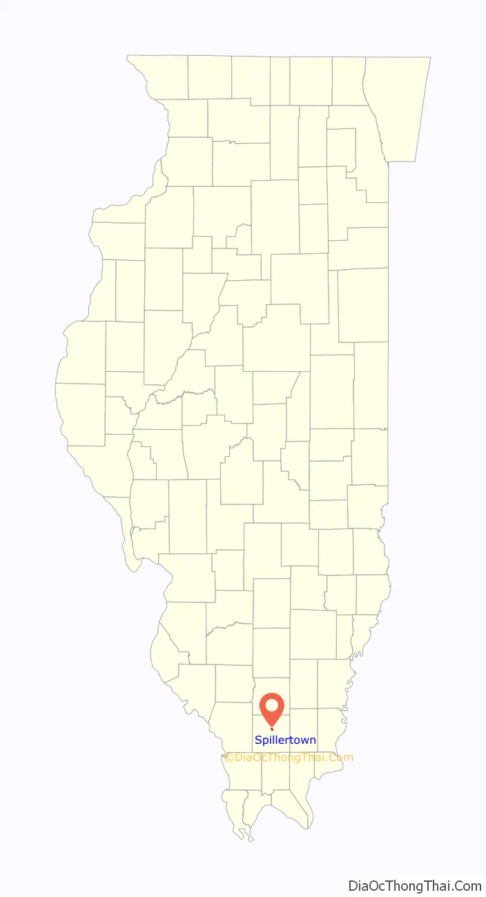
Spillertown location map. Where is Spillertown village?
History
Spillertown was incorporated as a village on March 3, 1900. It was named for Elijah Spiller, a prominent early settler who arrived in the area in 1817. Throughout the 19th century, Spillertown lay along an important wagon road that ran north from Marion to Benton, and eventually to Harmony, Indiana, where the nearest carding machines were located. A post office opened in 1898, but closed in 1914.
In August 2011, residents of the town began discussions with city officials in neighboring Marion about possible annexation.
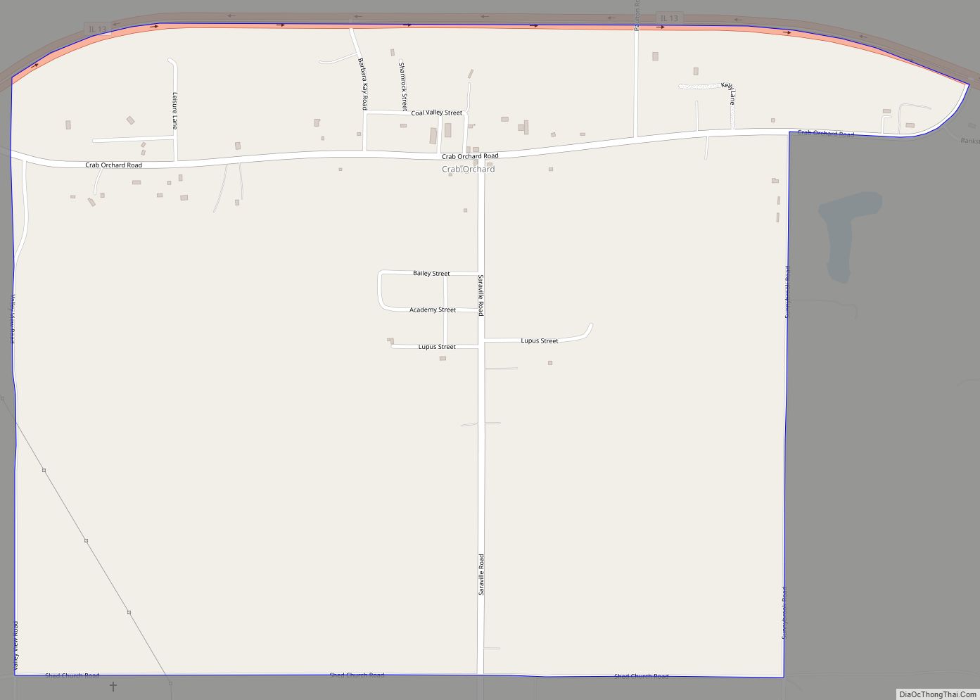
Spillertown Road Map
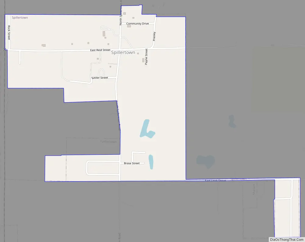
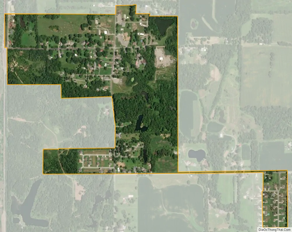
Spillertown city Satellite Map
Geography
Spillertown is located at 37°46′3″N 88°55′8″W / 37.76750°N 88.91889°W / 37.76750; -88.91889 (37.767467, -88.918902).
According to the 2010 census, Spillertown has a total area of 0.369 square miles (0.96 km), of which 0.36 square miles (0.93 km) (or 97.56%) is land and 0.009 square miles (0.02 km) (or 2.44%) is water.
See also
Map of Illinois State and its subdivision:- Adams
- Alexander
- Bond
- Boone
- Brown
- Bureau
- Calhoun
- Carroll
- Cass
- Champaign
- Christian
- Clark
- Clay
- Clinton
- Coles
- Cook
- Crawford
- Cumberland
- De Kalb
- De Witt
- Douglas
- Dupage
- Edgar
- Edwards
- Effingham
- Fayette
- Ford
- Franklin
- Fulton
- Gallatin
- Greene
- Grundy
- Hamilton
- Hancock
- Hardin
- Henderson
- Henry
- Iroquois
- Jackson
- Jasper
- Jefferson
- Jersey
- Jo Daviess
- Johnson
- Kane
- Kankakee
- Kendall
- Knox
- La Salle
- Lake
- Lake Michigan
- Lawrence
- Lee
- Livingston
- Logan
- Macon
- Macoupin
- Madison
- Marion
- Marshall
- Mason
- Massac
- McDonough
- McHenry
- McLean
- Menard
- Mercer
- Monroe
- Montgomery
- Morgan
- Moultrie
- Ogle
- Peoria
- Perry
- Piatt
- Pike
- Pope
- Pulaski
- Putnam
- Randolph
- Richland
- Rock Island
- Saint Clair
- Saline
- Sangamon
- Schuyler
- Scott
- Shelby
- Stark
- Stephenson
- Tazewell
- Union
- Vermilion
- Wabash
- Warren
- Washington
- Wayne
- White
- Whiteside
- Will
- Williamson
- Winnebago
- Woodford
- Alabama
- Alaska
- Arizona
- Arkansas
- California
- Colorado
- Connecticut
- Delaware
- District of Columbia
- Florida
- Georgia
- Hawaii
- Idaho
- Illinois
- Indiana
- Iowa
- Kansas
- Kentucky
- Louisiana
- Maine
- Maryland
- Massachusetts
- Michigan
- Minnesota
- Mississippi
- Missouri
- Montana
- Nebraska
- Nevada
- New Hampshire
- New Jersey
- New Mexico
- New York
- North Carolina
- North Dakota
- Ohio
- Oklahoma
- Oregon
- Pennsylvania
- Rhode Island
- South Carolina
- South Dakota
- Tennessee
- Texas
- Utah
- Vermont
- Virginia
- Washington
- West Virginia
- Wisconsin
- Wyoming