Stonefort is a village in Saline and Williamson Counties, Illinois, United States. The population was 297 at the 2010 census.
| Name: | Stonefort village |
|---|---|
| LSAD Code: | 47 |
| LSAD Description: | village (suffix) |
| State: | Illinois |
| County: | Saline County, Williamson County |
| Elevation: | 404 ft (123 m) |
| Total Area: | 1.46 sq mi (3.78 km²) |
| Land Area: | 1.45 sq mi (3.77 km²) |
| Water Area: | 0.01 sq mi (0.01 km²) |
| Total Population: | 224 |
| Population Density: | 154.06/sq mi (59.49/km²) |
| ZIP code: | 62987 |
| Area code: | 618 |
| FIPS code: | 1772884 |
| GNISfeature ID: | 2399909 |
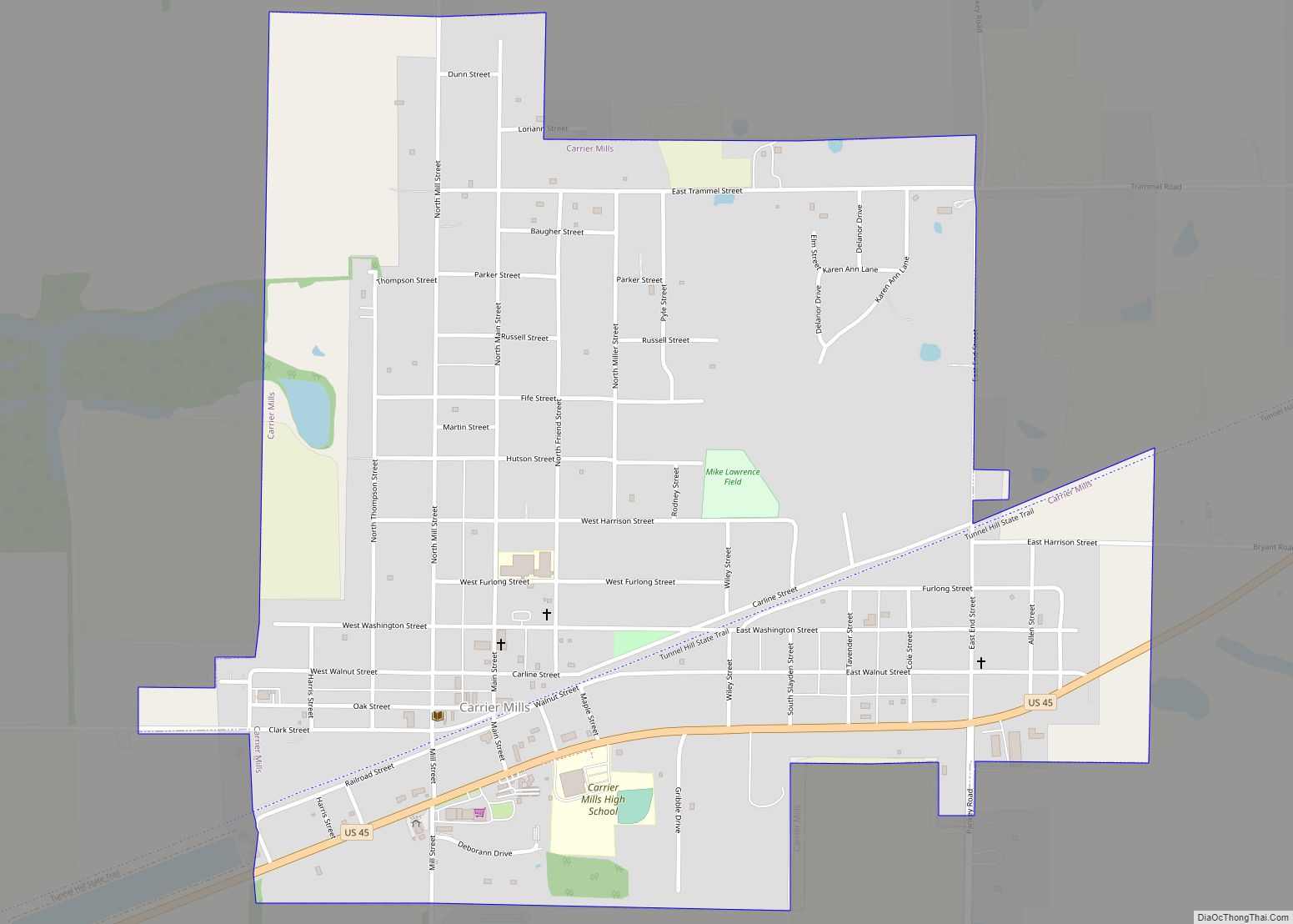
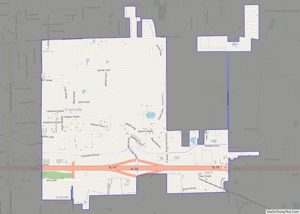
Online Interactive Map
Click on ![]() to view map in "full screen" mode.
to view map in "full screen" mode.
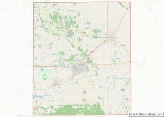
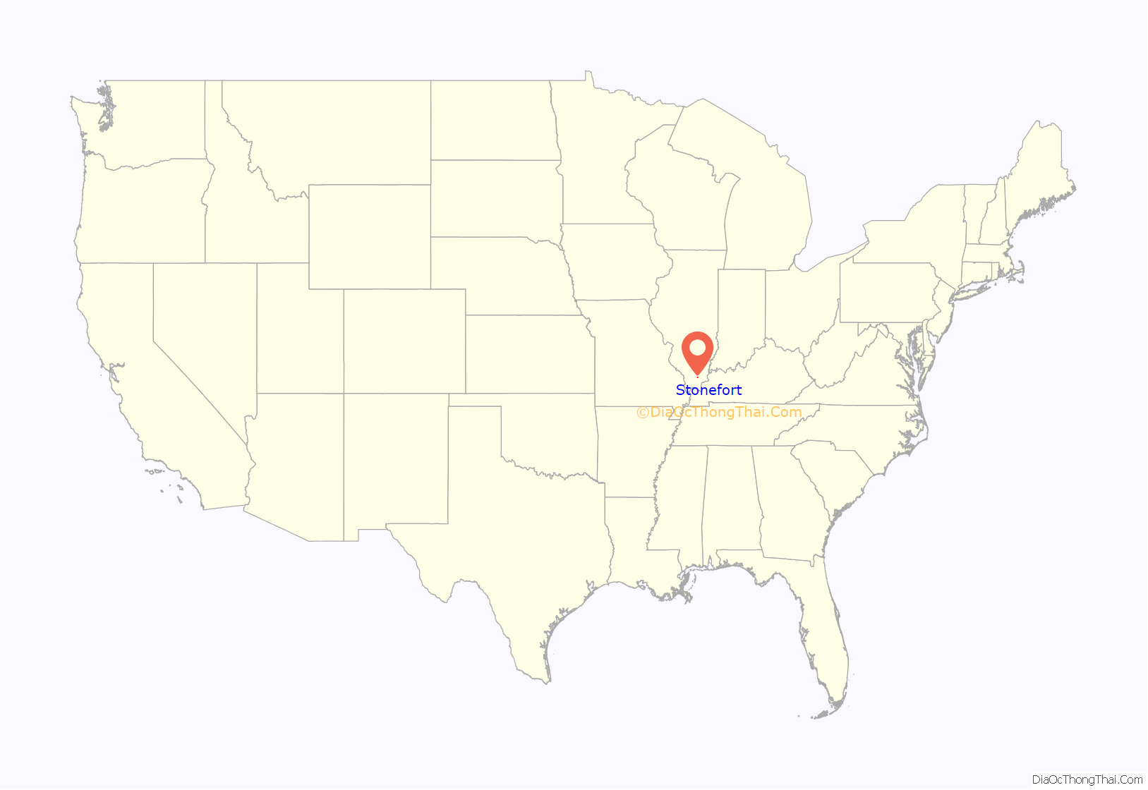
Stonefort location map. Where is Stonefort village?
History
Stonefort is named for an ancient rock fortification that stood in the vicinity when the first settlers started arriving in the area in the early 1800s. The village of Stonefort was established in the late 1850s, and was originally located about a mile to the southeast, near the edge of the bluff. When the Cairo and Vincennes Railroad (later part of the Big Four and New York Central systems) was completed through the area in the 1870s, Stonefort’s public buildings were dismantled and moved to the village’s present location, which was adjacent to the railroad tracks. The former site of the village is now listed as “Oldtown” on maps.
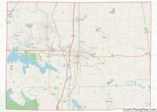
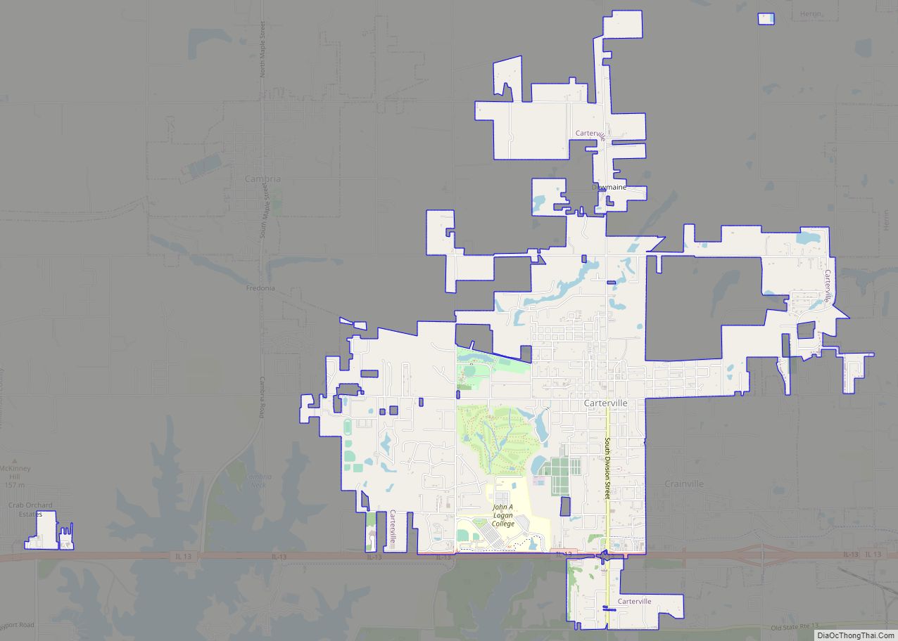
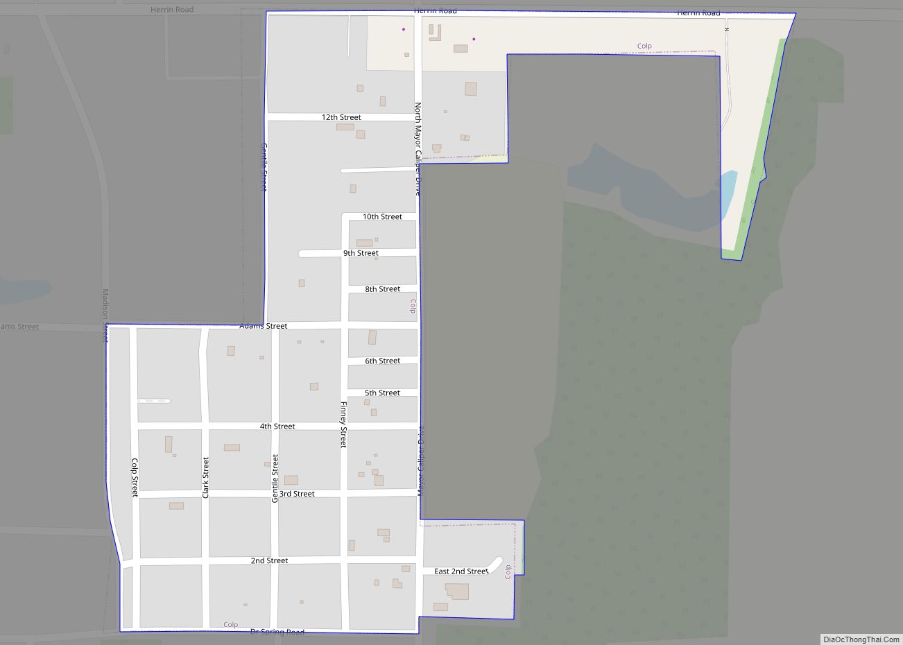
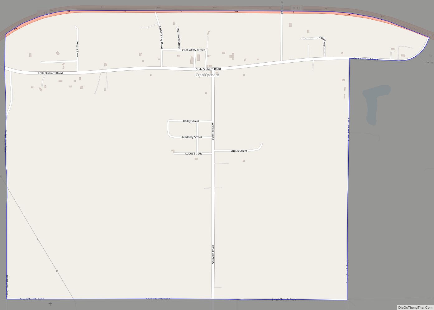
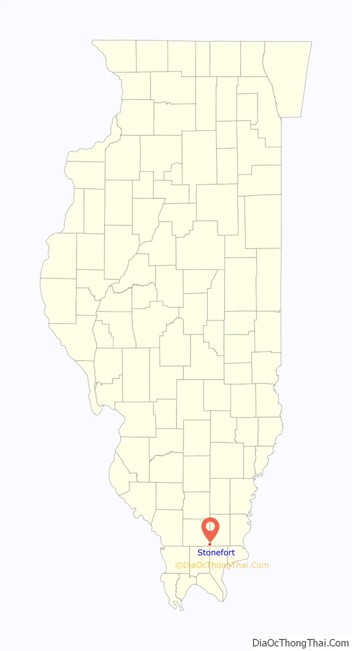
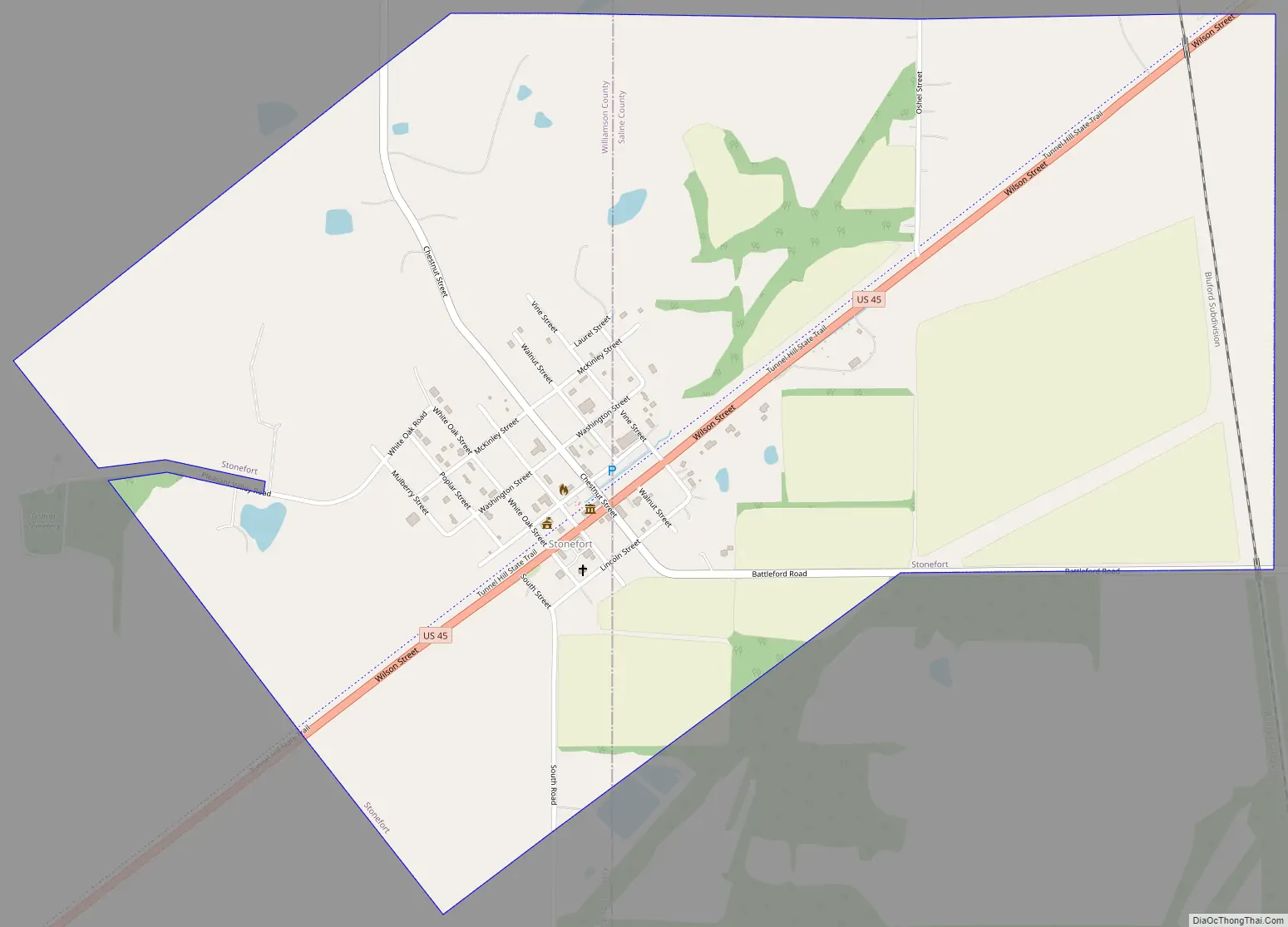
Stonefort Road Map
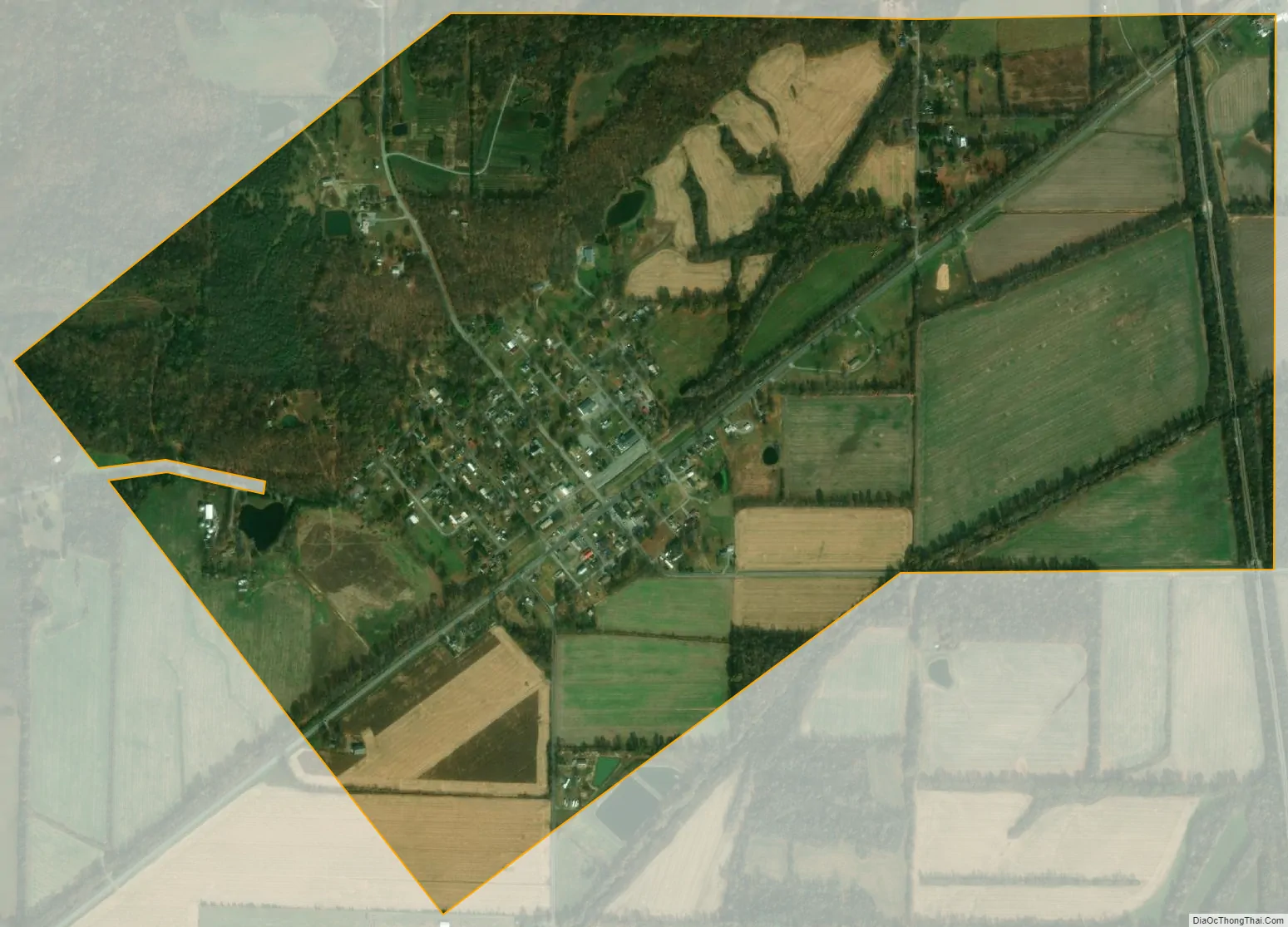
Stonefort city Satellite Map
Geography
Stonefort is located at 37°37′0″N 88°42′26″W / 37.61667°N 88.70722°W / 37.61667; -88.70722 (37.616615, -88.707143). The village is situated atop a ridge that rises above the South Fork Saline River valley to the north and the Little Saline River valley to the south. U.S. Route 45 connects Stonefort with Carrier Mills to the northeast and New Burnside to the southwest. The Tunnel Hill State Trail, a 45-mile (72 km) rail trail, traverses Stonefort.
According to the 2010 census, Stonefort has a total area of 1.456 square miles (3.77 km), of which 1.45 square miles (3.76 km) (or 99.59%) is land and 0.006 square miles (0.02 km) (or 0.41%) is water.
See also
Map of Illinois State and its subdivision:- Adams
- Alexander
- Bond
- Boone
- Brown
- Bureau
- Calhoun
- Carroll
- Cass
- Champaign
- Christian
- Clark
- Clay
- Clinton
- Coles
- Cook
- Crawford
- Cumberland
- De Kalb
- De Witt
- Douglas
- Dupage
- Edgar
- Edwards
- Effingham
- Fayette
- Ford
- Franklin
- Fulton
- Gallatin
- Greene
- Grundy
- Hamilton
- Hancock
- Hardin
- Henderson
- Henry
- Iroquois
- Jackson
- Jasper
- Jefferson
- Jersey
- Jo Daviess
- Johnson
- Kane
- Kankakee
- Kendall
- Knox
- La Salle
- Lake
- Lake Michigan
- Lawrence
- Lee
- Livingston
- Logan
- Macon
- Macoupin
- Madison
- Marion
- Marshall
- Mason
- Massac
- McDonough
- McHenry
- McLean
- Menard
- Mercer
- Monroe
- Montgomery
- Morgan
- Moultrie
- Ogle
- Peoria
- Perry
- Piatt
- Pike
- Pope
- Pulaski
- Putnam
- Randolph
- Richland
- Rock Island
- Saint Clair
- Saline
- Sangamon
- Schuyler
- Scott
- Shelby
- Stark
- Stephenson
- Tazewell
- Union
- Vermilion
- Wabash
- Warren
- Washington
- Wayne
- White
- Whiteside
- Will
- Williamson
- Winnebago
- Woodford
- Alabama
- Alaska
- Arizona
- Arkansas
- California
- Colorado
- Connecticut
- Delaware
- District of Columbia
- Florida
- Georgia
- Hawaii
- Idaho
- Illinois
- Indiana
- Iowa
- Kansas
- Kentucky
- Louisiana
- Maine
- Maryland
- Massachusetts
- Michigan
- Minnesota
- Mississippi
- Missouri
- Montana
- Nebraska
- Nevada
- New Hampshire
- New Jersey
- New Mexico
- New York
- North Carolina
- North Dakota
- Ohio
- Oklahoma
- Oregon
- Pennsylvania
- Rhode Island
- South Carolina
- South Dakota
- Tennessee
- Texas
- Utah
- Vermont
- Virginia
- Washington
- West Virginia
- Wisconsin
- Wyoming