Swansea is a village in St. Clair County, Illinois. It is a part of the St. Louis metropolitan area and Metro East in southern Illinois. It is surrounded by the communities of Fairview Heights, Belleville, O’Fallon, and Shiloh. The population was 13,430 at the 2010 census, an increase from 10,579 in 2000.
| Name: | Swansea village |
|---|---|
| LSAD Code: | 47 |
| LSAD Description: | village (suffix) |
| State: | Illinois |
| County: | St. Clair County |
| Elevation: | 561 ft (171 m) |
| Total Area: | 6.62 sq mi (17.14 km²) |
| Land Area: | 6.48 sq mi (16.77 km²) |
| Water Area: | 0.14 sq mi (0.37 km²) |
| Total Population: | 14,386 |
| Population Density: | 2,221.09/sq mi (857.59/km²) |
| Area code: | 618 |
| FIPS code: | 1774119 |
| GNISfeature ID: | 2399939 |
| Website: | swanseail.org |
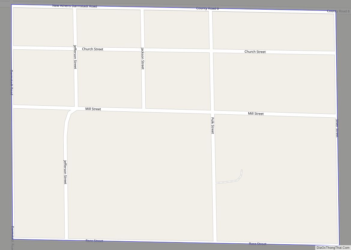
Online Interactive Map
Click on ![]() to view map in "full screen" mode.
to view map in "full screen" mode.
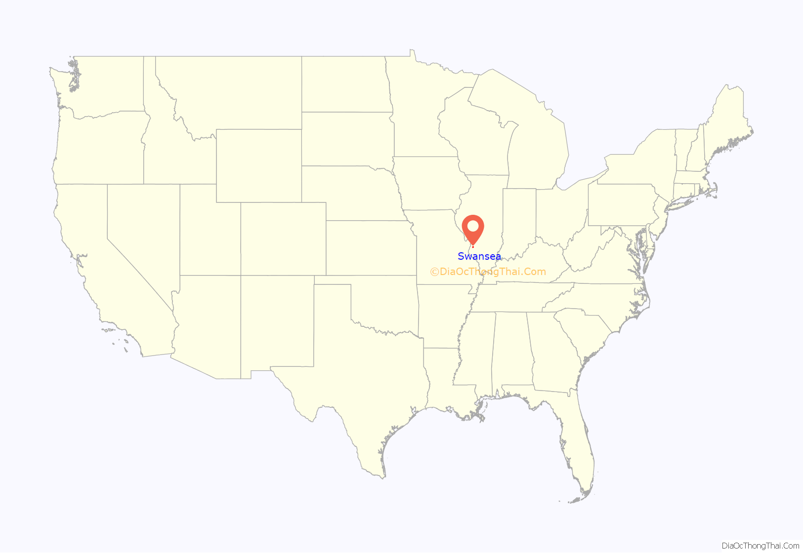
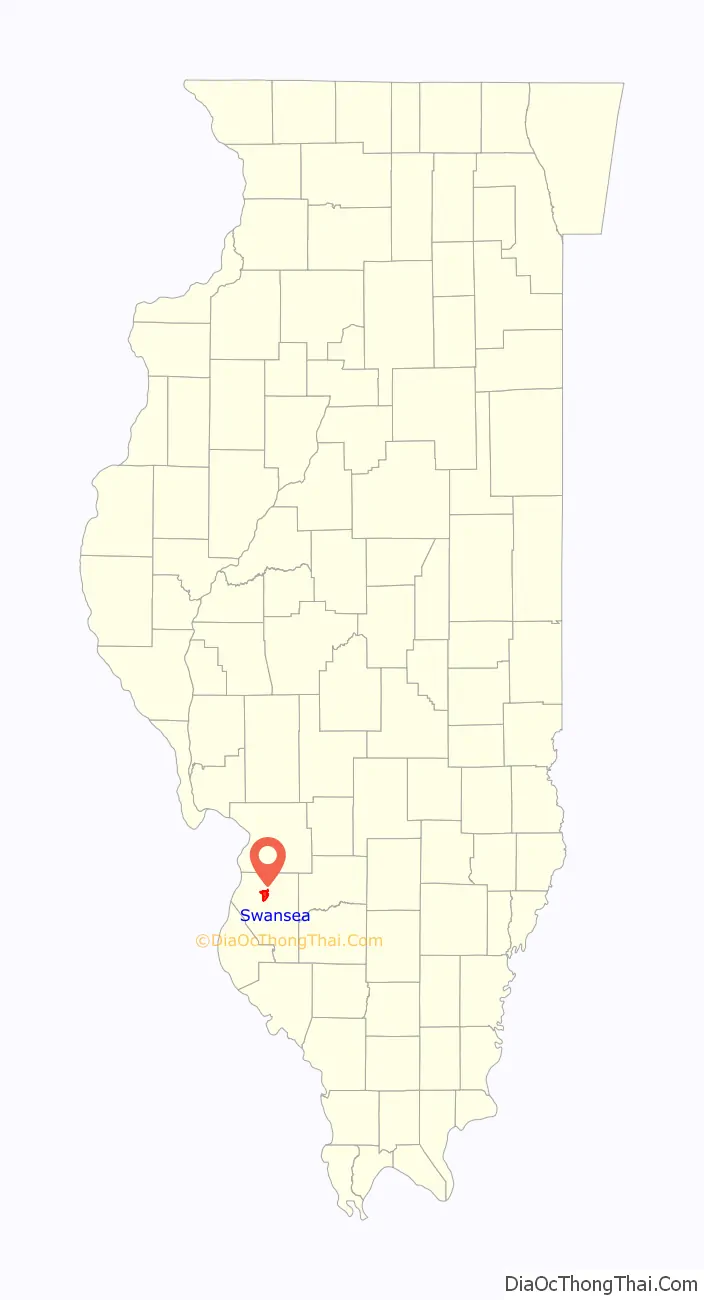
Swansea location map. Where is Swansea village?
History
In the late 19th century the area that is now Swansea was a mix of farming and commerce. It was home to underground coal mines, foundries, brickyards, and the Gundlach Drill Works, manufacturers of the most efficient grain drills of that era. The early residents were fiercely independent and bent on conducting their own affairs. When the municipality that sat on their doorstep reached out to annex their lands and businesses they decided to start their own community.
On November 27, 1886, a group of 35 area residents petitioned the county government “that they are desirous of having said territory organized as a village…That the name of the proposed village shall be New Swansea.”
The residents voted on December 16, 1886, to form their own community and name it “New Swansea”. A petition for annexation to the city of Belleville was being circulated in the territory. Establishing an independent community was a quick and effective method of avoiding annexation. And so a new municipality was incorporated on December 20, 1886. In 1898 the lot at the corner of Brackett and Illinois Streets was purchased for $300. The Village Hall was completed shortly thereafter at a cost of $619.50.
Swansea Road Map
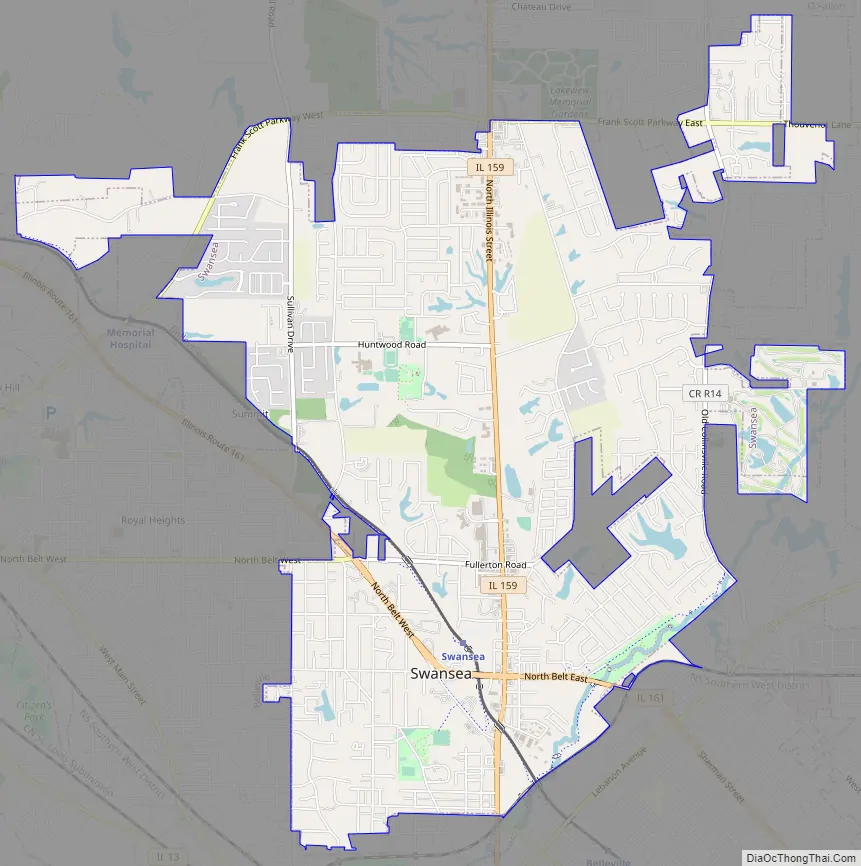
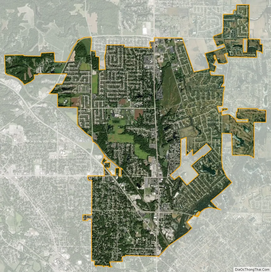
Swansea city Satellite Map
Geography
Swansea is located at 38°32′30″N 89°59′14″W / 38.54167°N 89.98722°W / 38.54167; -89.98722 (38.541750, -89.987353).
According to the 2010 census, Swansea has a total area of 6.434 square miles (16.66 km), of which 6.26 square miles (16.21 km) (or 97.3%) is land and 0.174 square miles (0.45 km) (or 2.7%) is water. Swansea is largely flat and runs primarily in a north–south direction along the Illinois route 159 corridor. It is bounded by Belleville to the south and west, Fairview Heights to the north and Shiloh to the east. The City of Saint Louis, Missouri, lies 16 miles to the west.
See also
Map of Illinois State and its subdivision:- Adams
- Alexander
- Bond
- Boone
- Brown
- Bureau
- Calhoun
- Carroll
- Cass
- Champaign
- Christian
- Clark
- Clay
- Clinton
- Coles
- Cook
- Crawford
- Cumberland
- De Kalb
- De Witt
- Douglas
- Dupage
- Edgar
- Edwards
- Effingham
- Fayette
- Ford
- Franklin
- Fulton
- Gallatin
- Greene
- Grundy
- Hamilton
- Hancock
- Hardin
- Henderson
- Henry
- Iroquois
- Jackson
- Jasper
- Jefferson
- Jersey
- Jo Daviess
- Johnson
- Kane
- Kankakee
- Kendall
- Knox
- La Salle
- Lake
- Lake Michigan
- Lawrence
- Lee
- Livingston
- Logan
- Macon
- Macoupin
- Madison
- Marion
- Marshall
- Mason
- Massac
- McDonough
- McHenry
- McLean
- Menard
- Mercer
- Monroe
- Montgomery
- Morgan
- Moultrie
- Ogle
- Peoria
- Perry
- Piatt
- Pike
- Pope
- Pulaski
- Putnam
- Randolph
- Richland
- Rock Island
- Saint Clair
- Saline
- Sangamon
- Schuyler
- Scott
- Shelby
- Stark
- Stephenson
- Tazewell
- Union
- Vermilion
- Wabash
- Warren
- Washington
- Wayne
- White
- Whiteside
- Will
- Williamson
- Winnebago
- Woodford
- Alabama
- Alaska
- Arizona
- Arkansas
- California
- Colorado
- Connecticut
- Delaware
- District of Columbia
- Florida
- Georgia
- Hawaii
- Idaho
- Illinois
- Indiana
- Iowa
- Kansas
- Kentucky
- Louisiana
- Maine
- Maryland
- Massachusetts
- Michigan
- Minnesota
- Mississippi
- Missouri
- Montana
- Nebraska
- Nevada
- New Hampshire
- New Jersey
- New Mexico
- New York
- North Carolina
- North Dakota
- Ohio
- Oklahoma
- Oregon
- Pennsylvania
- Rhode Island
- South Carolina
- South Dakota
- Tennessee
- Texas
- Utah
- Vermont
- Virginia
- Washington
- West Virginia
- Wisconsin
- Wyoming