Washington Park is a village in St. Clair County, Illinois, United States. The population was 4,196 as of the 2010 census, down from 5,345 in 2000.
| Name: | Washington Park village |
|---|---|
| LSAD Code: | 47 |
| LSAD Description: | village (suffix) |
| State: | Illinois |
| County: | St. Clair County |
| Founded: | December 19, 1923 |
| Elevation: | 423 ft (129 m) |
| Total Area: | 2.55 sq mi (6.61 km²) |
| Land Area: | 2.55 sq mi (6.61 km²) |
| Water Area: | 0.00 sq mi (0.00 km²) |
| Total Population: | 2,592 |
| Population Density: | 1,015.67/sq mi (392.14/km²) |
| Area code: | 618 |
| FIPS code: | 1779085 |
| GNISfeature ID: | 2400099 |
| Website: | https://villageofwp.com/ |
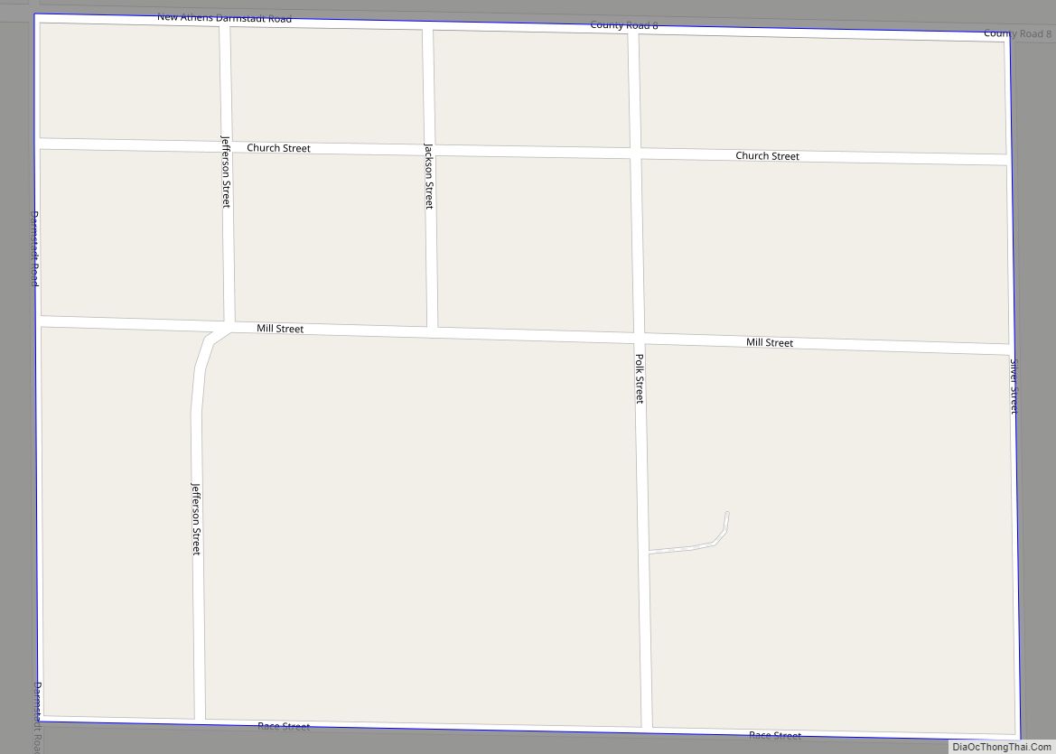
Online Interactive Map
Click on ![]() to view map in "full screen" mode.
to view map in "full screen" mode.
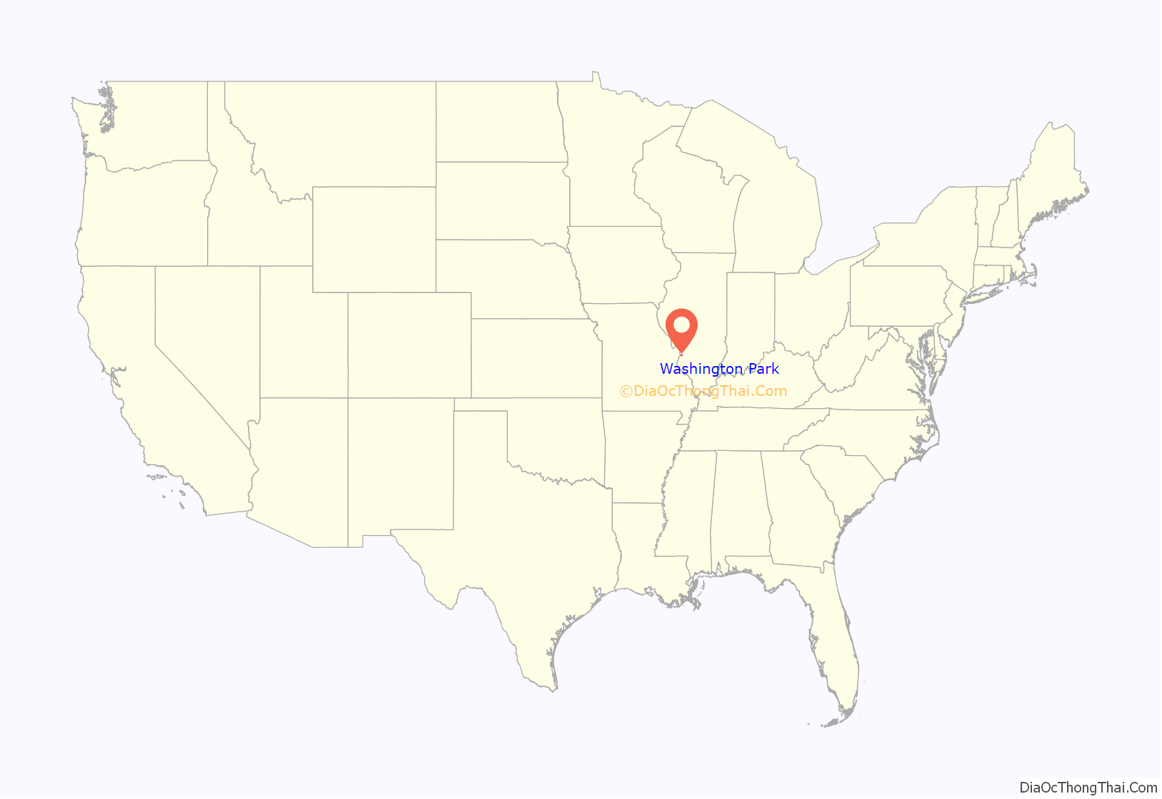
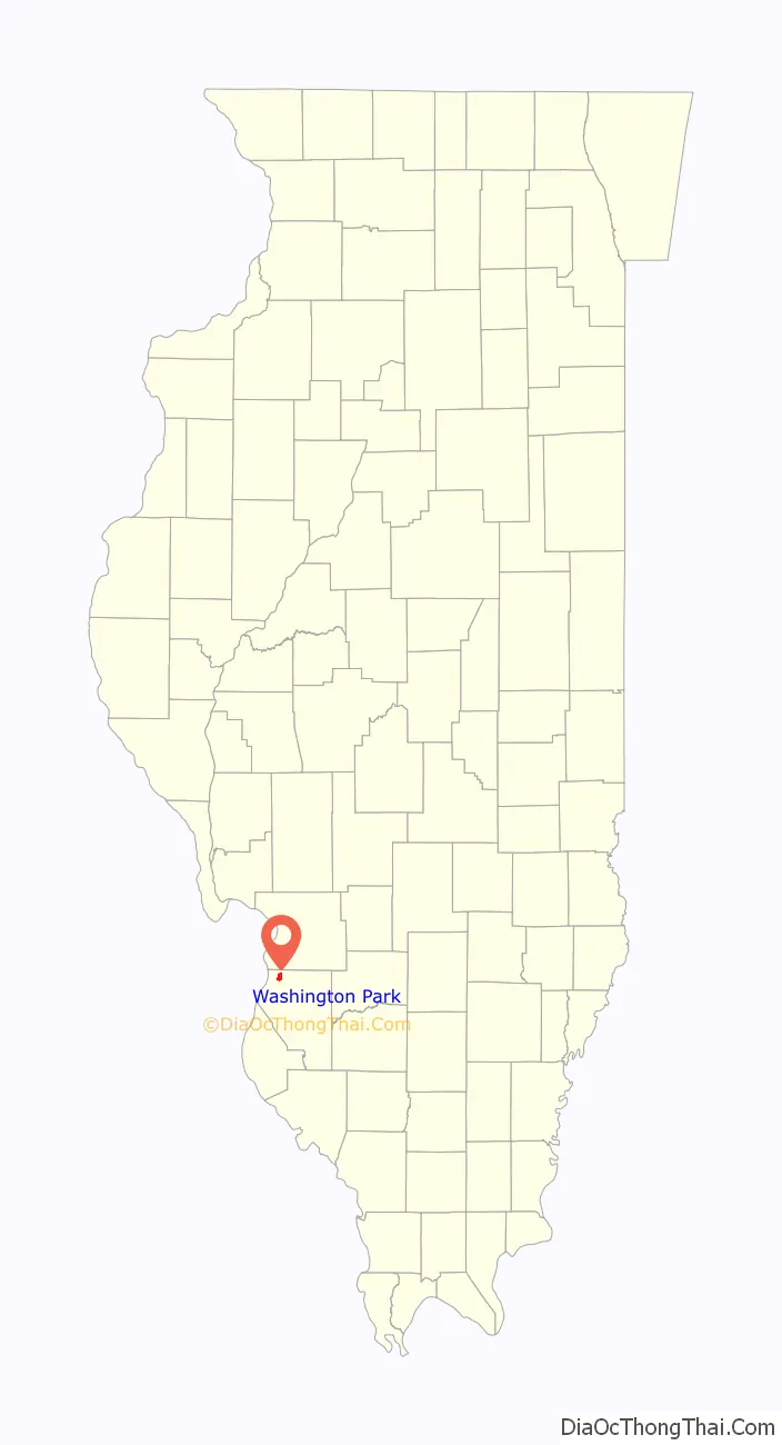
Washington Park location map. Where is Washington Park village?
History
Washington Park filed for Chapter 9 bankruptcy protection in July 2009, citing assets of less than $50,000 and debt of more than $1 million. U.S. Bankruptcy Judge Pamela Pepper threw out the filing in December 2010 after finding there was no state law enabling a municipality to declare bankruptcy. Washington Park filed for bankruptcy in 2004 as well, claiming a $1.6 million debt, but that filing was dismissed when the village briefly emerged from insolvency.
In 2010, the mayor of Washington Park, John Thornton, was found to have been fatally shot; he was discovered in his car injured on the morning of April 1, and died at a hospital at 6 AM.
On July 25, 2012 the chief of police called for the disbanding of the police force.
Washington Park Road Map
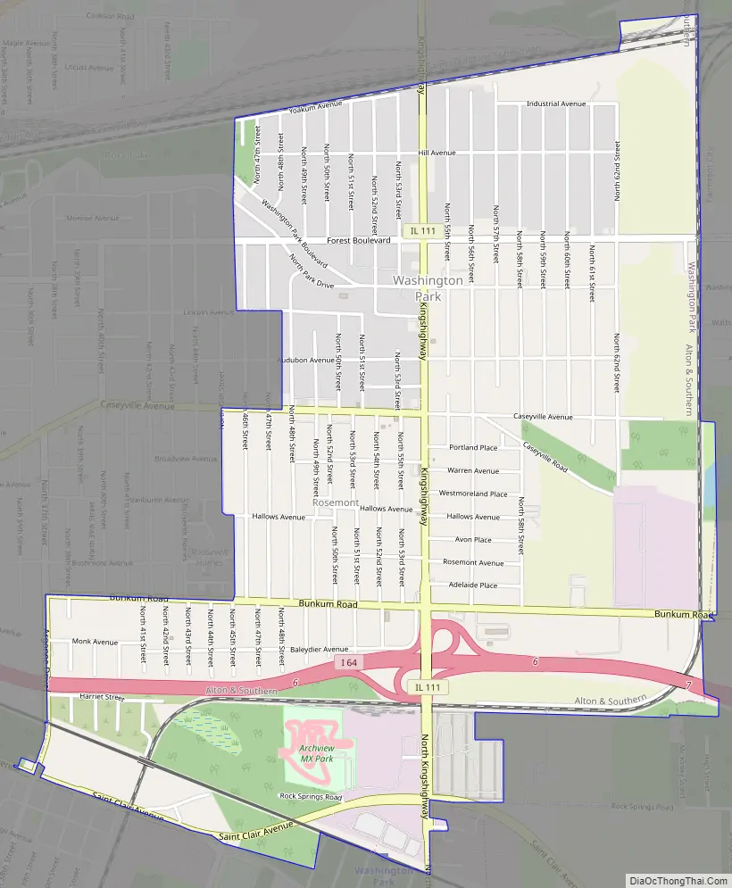
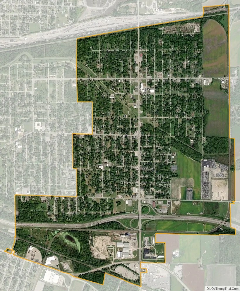
Washington Park city Satellite Map
Geography
Washington Park is located at 38°37′47″N 90°5′41″W / 38.62972°N 90.09472°W / 38.62972; -90.09472 (38.629750, -90.094606).
According to the 2010 census, Washington Park has a total area of 2.63 square miles (6.81 km), all land.
The city is served by Washington Park station on the St. Louis MetroLink light rail system.
See also
Map of Illinois State and its subdivision:- Adams
- Alexander
- Bond
- Boone
- Brown
- Bureau
- Calhoun
- Carroll
- Cass
- Champaign
- Christian
- Clark
- Clay
- Clinton
- Coles
- Cook
- Crawford
- Cumberland
- De Kalb
- De Witt
- Douglas
- Dupage
- Edgar
- Edwards
- Effingham
- Fayette
- Ford
- Franklin
- Fulton
- Gallatin
- Greene
- Grundy
- Hamilton
- Hancock
- Hardin
- Henderson
- Henry
- Iroquois
- Jackson
- Jasper
- Jefferson
- Jersey
- Jo Daviess
- Johnson
- Kane
- Kankakee
- Kendall
- Knox
- La Salle
- Lake
- Lake Michigan
- Lawrence
- Lee
- Livingston
- Logan
- Macon
- Macoupin
- Madison
- Marion
- Marshall
- Mason
- Massac
- McDonough
- McHenry
- McLean
- Menard
- Mercer
- Monroe
- Montgomery
- Morgan
- Moultrie
- Ogle
- Peoria
- Perry
- Piatt
- Pike
- Pope
- Pulaski
- Putnam
- Randolph
- Richland
- Rock Island
- Saint Clair
- Saline
- Sangamon
- Schuyler
- Scott
- Shelby
- Stark
- Stephenson
- Tazewell
- Union
- Vermilion
- Wabash
- Warren
- Washington
- Wayne
- White
- Whiteside
- Will
- Williamson
- Winnebago
- Woodford
- Alabama
- Alaska
- Arizona
- Arkansas
- California
- Colorado
- Connecticut
- Delaware
- District of Columbia
- Florida
- Georgia
- Hawaii
- Idaho
- Illinois
- Indiana
- Iowa
- Kansas
- Kentucky
- Louisiana
- Maine
- Maryland
- Massachusetts
- Michigan
- Minnesota
- Mississippi
- Missouri
- Montana
- Nebraska
- Nevada
- New Hampshire
- New Jersey
- New Mexico
- New York
- North Carolina
- North Dakota
- Ohio
- Oklahoma
- Oregon
- Pennsylvania
- Rhode Island
- South Carolina
- South Dakota
- Tennessee
- Texas
- Utah
- Vermont
- Virginia
- Washington
- West Virginia
- Wisconsin
- Wyoming