Western Springs is a village located in Cook County, Illinois, United States, and is a suburb of Chicago. As of the 2010 census, the village had a total population of 12,975. It is twinned with Rugeley, Staffordshire, United Kingdom. In July 1962, the towns made telephone history on national television when the chairman of Rugeley Urban District Council made the first telephone call via the new Telstar satellite to the mayor of Western Springs.
| Name: | Western Springs village |
|---|---|
| LSAD Code: | 47 |
| LSAD Description: | village (suffix) |
| State: | Illinois |
| County: | Cook County |
| Founded: | 1886 |
| Total Area: | 2.79 sq mi (7.21 km²) |
| Land Area: | 2.79 sq mi (7.21 km²) |
| Water Area: | 0.00 sq mi (0.00 km²) |
| Total Population: | 13,629 |
| Population Density: | 4,893.72/sq mi (1,889.81/km²) |
| Area code: | 708 |
| FIPS code: | 1780242 |
| Website: | www.wsprings.com |
Online Interactive Map
Click on ![]() to view map in "full screen" mode.
to view map in "full screen" mode.
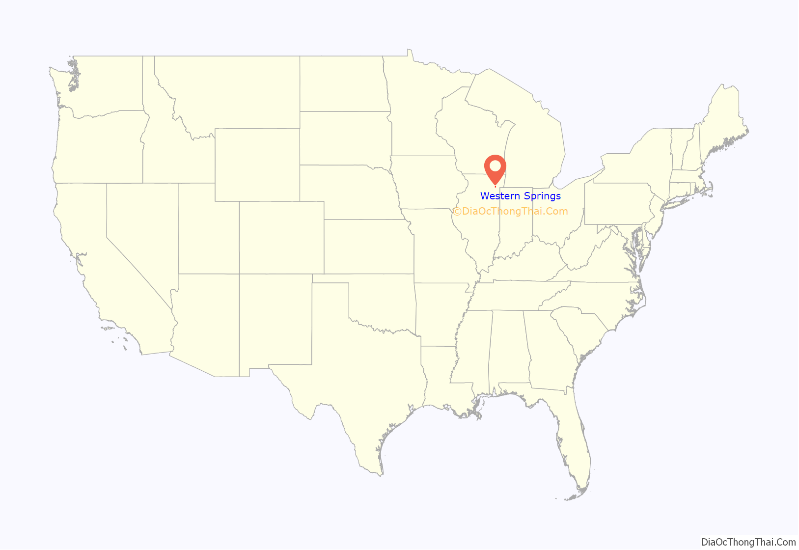
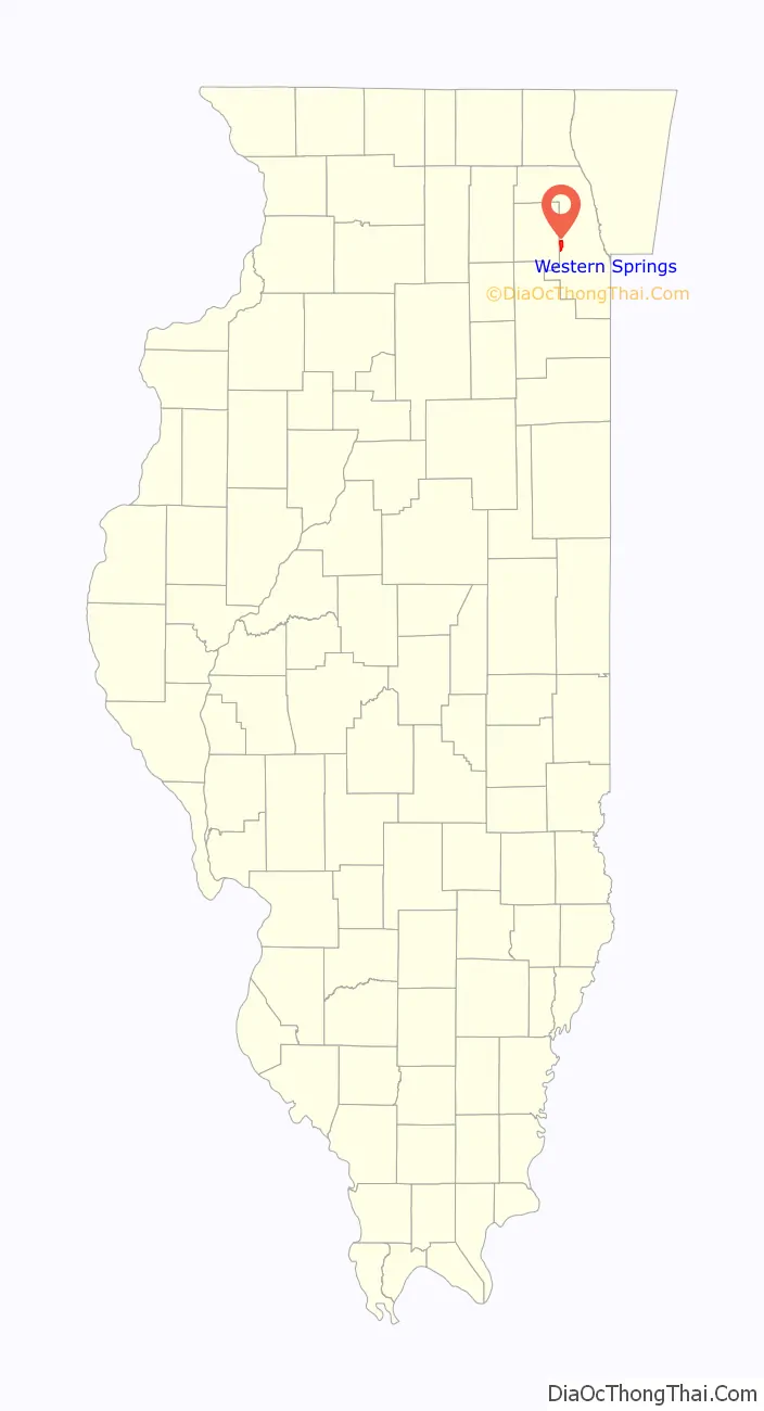
Western Springs location map. Where is Western Springs village?
History
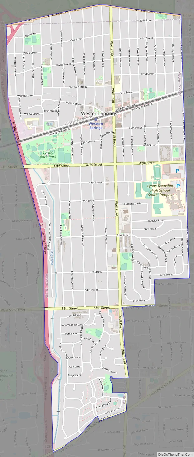
Western Springs, an affluent suburb located along the Burlington Northern Santa Fe (formerly the Chicago, Burlington & Quincy Railroad) between Chicago and Aurora, encompasses roughly the area between Willow Springs Road (Gilbert Avenue), Ogden Avenue, Interstate 294, and West Plainfield Road. Named for local mineral springs on the southwest side of town, Western Springs originally consisted of flat prairie land with a swamp on its western border.
Around the turn of the 18th century, nomadic Potawatomi Native Americans settled in the Western Springs area. Whether they built a village is unclear, but evidence of temporary campsites has been found near Flagg Creek in Forest Hills. The natives were gone by the end of 1835, but Potawatomi artifacts may still be found buried in the Springdale neighborhood. The last Cook County campground of the Potawatomi was within what is now the Timber Trails subdivision.
The first known settler in the area near Western Springs was Elijah Wentworth. By 1834, after the Black Hawk War, farmer Joseph Vial had moved from New York and built a cabin along what is now Plainfield Road, a former Native American trail in the south of Western Springs. This cabin served as a stagecoach station, hotel, general store, and post office for the entire area. In 1872, Hill moved to the area from Chicago, and the community began organizing to attract more commuters. Residents built a wooden schoolhouse (1872) and a post office (1873).
The CB&Q Railroad built a line through Western Springs in 1863, filling in much of the westside swamp in the process. In 1870, the Western Springs Land Association, consisting of promoter Thomas Clarkson Hill, William Page and two sons of Phillip F. W. Peck, bought the three tracts that make up the area for $105,000.
In 1885, the Grand Avenue School replaced the wooden schoolhouse, and the office of village marshal was created as a combination policeman, dogcatcher, and groundskeeper. In 1886, the Friend’s Church (razed in 1958) was built on the corner of Walnut and Woodland. That same year, Western Springs incorporated as a village by a public vote of 34 to 25. The voting townspeople elected a prominent Quaker developer, T. C. Hill, as the town’s first president.
A large number of early residents were Quakers, and deeds often prohibited the sale of alcohol. (Until recently, the village itself had not permitted the sale of alcoholic beverages but currently a number of establishments do sell such.) Over time, with increased commuter settlement, Western Springs came to look less and less Quaker.
After the spring dried up in 1890, the village hired engineers Edgar and Benezette Williams to build the village waterworks system, including the famous water tower. Constructed using Naperville stone, the tower stood 112 feet (34 m) high. Replaced in 1962, it became a museum in 1970 and entered the National Register of Historic Places in 1981.
Western Springs added many improvements over the years, including a fire department (1894), electric plant (1898), telephones (1899), a park district (1923), and a library (1926). The village expanded south of 47th Street, annexing the subdivisions of Forest Hills (1927), Springdale (1955), and Ridgewood (1973). On March 21, 2005, the Village of Western Springs annexed the former Timber Trails golf course, which is now being developed into a new community of single-family homes and townhomes. The property added 105.9 acres (0.429 km) to the village.
Western Springs Road Map
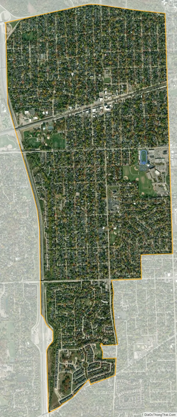
Western Springs city Satellite Map
Geography
Western Springs is located at 41°48’20” North, 87°54’4″ West (41.805531, -87.901035).
Western Springs is located 15 miles (24 km) west of the Chicago Loop and encompasses roughly the area between Willow Springs Road, Ogden Avenue, Interstate 294, and Plainfield Road.
According to the 2010 census, Western Springs has a total area of 2.79 square miles (7.23 km), all land.
See also
Map of Illinois State and its subdivision:- Adams
- Alexander
- Bond
- Boone
- Brown
- Bureau
- Calhoun
- Carroll
- Cass
- Champaign
- Christian
- Clark
- Clay
- Clinton
- Coles
- Cook
- Crawford
- Cumberland
- De Kalb
- De Witt
- Douglas
- Dupage
- Edgar
- Edwards
- Effingham
- Fayette
- Ford
- Franklin
- Fulton
- Gallatin
- Greene
- Grundy
- Hamilton
- Hancock
- Hardin
- Henderson
- Henry
- Iroquois
- Jackson
- Jasper
- Jefferson
- Jersey
- Jo Daviess
- Johnson
- Kane
- Kankakee
- Kendall
- Knox
- La Salle
- Lake
- Lake Michigan
- Lawrence
- Lee
- Livingston
- Logan
- Macon
- Macoupin
- Madison
- Marion
- Marshall
- Mason
- Massac
- McDonough
- McHenry
- McLean
- Menard
- Mercer
- Monroe
- Montgomery
- Morgan
- Moultrie
- Ogle
- Peoria
- Perry
- Piatt
- Pike
- Pope
- Pulaski
- Putnam
- Randolph
- Richland
- Rock Island
- Saint Clair
- Saline
- Sangamon
- Schuyler
- Scott
- Shelby
- Stark
- Stephenson
- Tazewell
- Union
- Vermilion
- Wabash
- Warren
- Washington
- Wayne
- White
- Whiteside
- Will
- Williamson
- Winnebago
- Woodford
- Alabama
- Alaska
- Arizona
- Arkansas
- California
- Colorado
- Connecticut
- Delaware
- District of Columbia
- Florida
- Georgia
- Hawaii
- Idaho
- Illinois
- Indiana
- Iowa
- Kansas
- Kentucky
- Louisiana
- Maine
- Maryland
- Massachusetts
- Michigan
- Minnesota
- Mississippi
- Missouri
- Montana
- Nebraska
- Nevada
- New Hampshire
- New Jersey
- New Mexico
- New York
- North Carolina
- North Dakota
- Ohio
- Oklahoma
- Oregon
- Pennsylvania
- Rhode Island
- South Carolina
- South Dakota
- Tennessee
- Texas
- Utah
- Vermont
- Virginia
- Washington
- West Virginia
- Wisconsin
- Wyoming


