Zion is a city in Lake County, Illinois, United States. Per the 2020 census, the population was 24,655.
| Name: | Zion city |
|---|---|
| LSAD Code: | 25 |
| LSAD Description: | city (suffix) |
| State: | Illinois |
| County: | Lake County |
| Founded: | July 1901 |
| Elevation: | 615 ft (187 m) |
| Total Area: | 9.93 sq mi (25.72 km²) |
| Land Area: | 9.93 sq mi (25.72 km²) |
| Water Area: | 0.00 sq mi (0.00 km²) |
| Total Population: | 24,655 |
| Population Density: | 2,482.63/sq mi (958.58/km²) |
| FIPS code: | 1784220 |
| Website: | www.cityofzion.com |
Online Interactive Map
Click on ![]() to view map in "full screen" mode.
to view map in "full screen" mode.
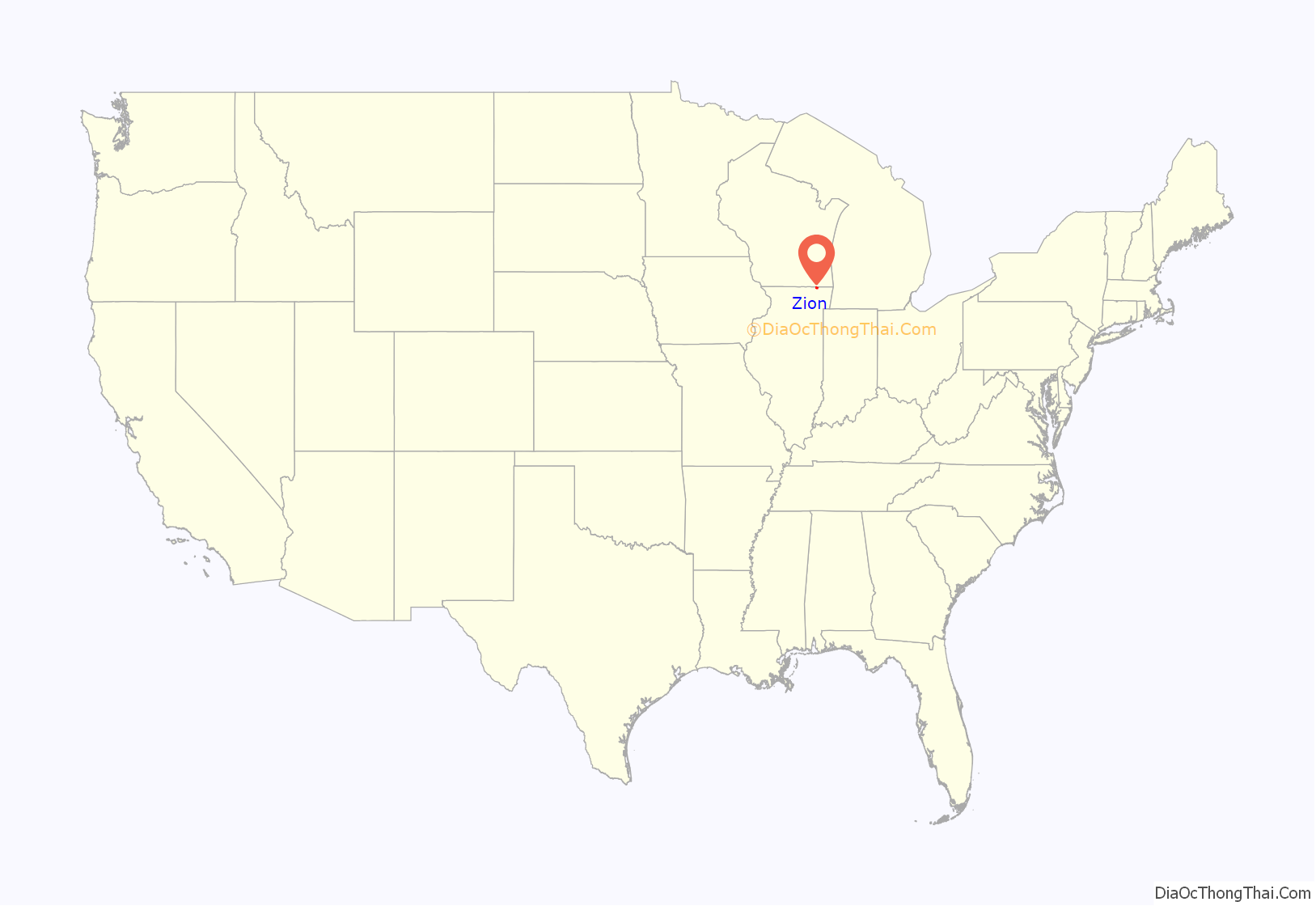
Zion location map. Where is Zion city?
History
The city was founded in July 1901 by John Alexander Dowie (1847-1907), a Scots-Australian evangelical minister and faith healer who had migrated to the United States in 1888. By 1890, he had settled in Chicago, where he built a large faith healing business (which included a large mail order component) and had attracted thousands of followers.
He bought land 40 miles north of Chicago to found Zion, where he personally owned all of the land and most businesses. The city was named after Mount Zion in Israel.
Dowie also founded the Zion Tabernacle of the Christian Catholic Apostolic Church, which was the only church in town. The structure was built in the early 1900s and was burned down in 1937, following several decades of tumultuous rule by Dowie’s successor, Wilbur Glenn Voliva.
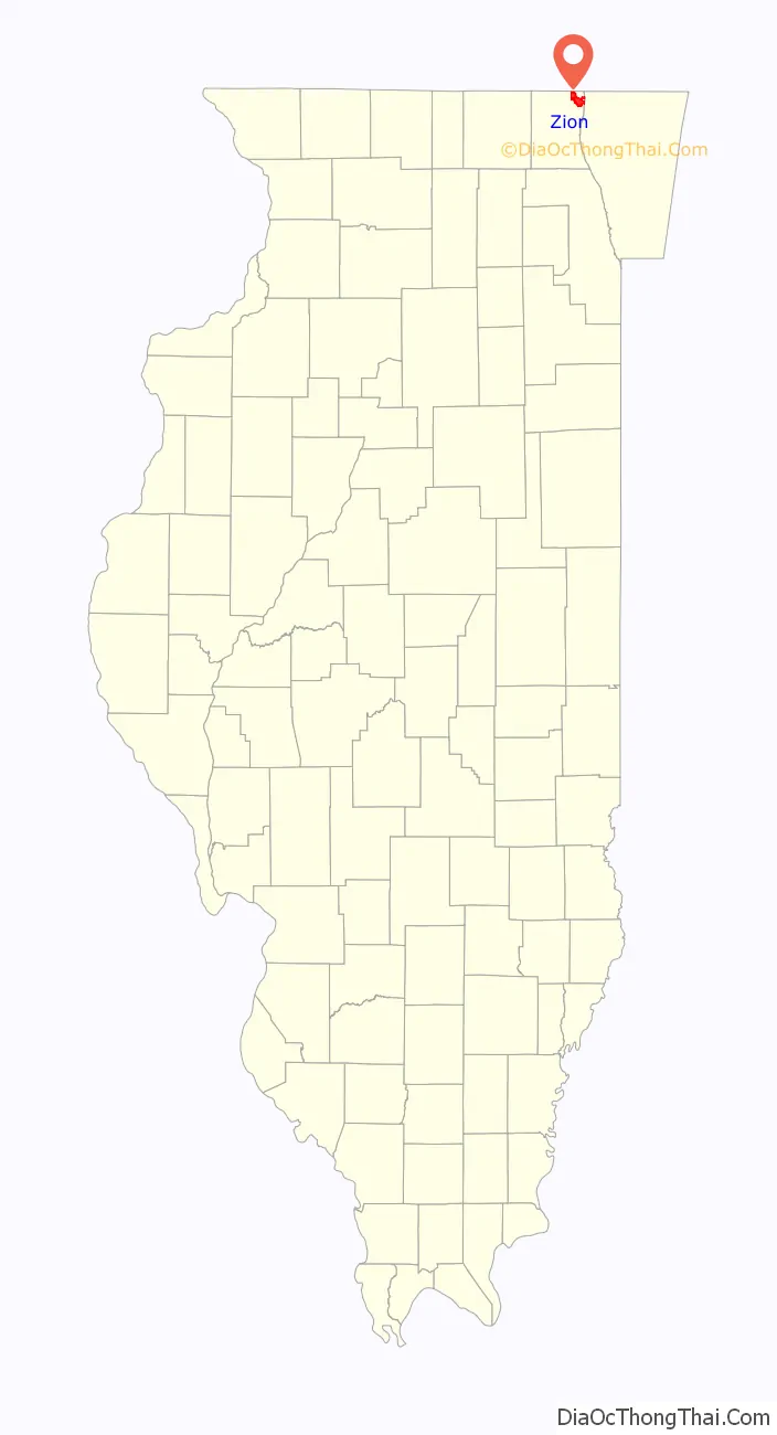
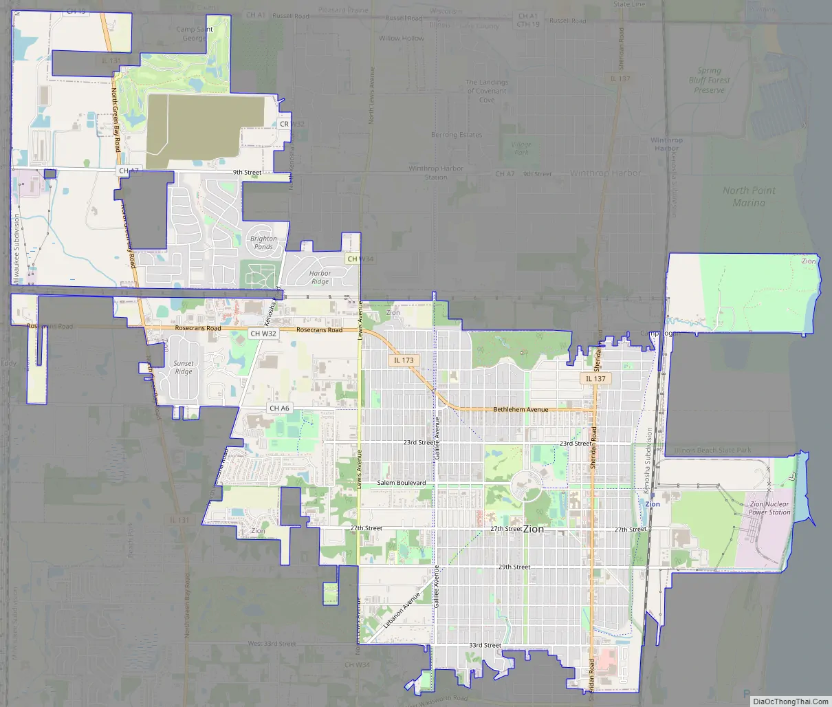
Zion Road Map
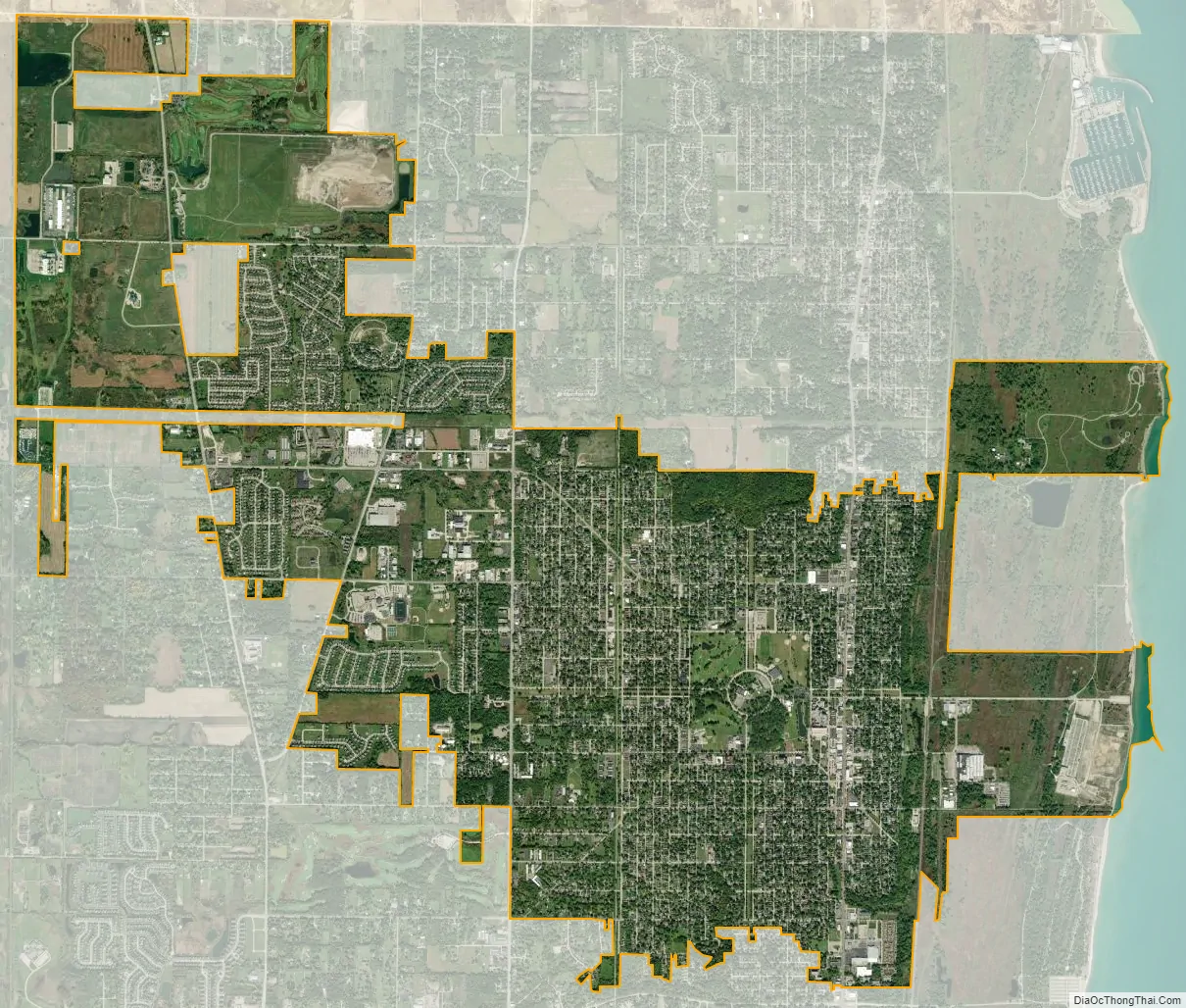
Zion city Satellite Map
Geography
Zion is located at 42°27′12″N 87°50′25″W / 42.453221°N 87.840222°W / 42.453221; -87.840222.
According to the 2010 census, Zion has a total area of 9.813 square miles (25.42 km), of which 9.81 square miles (25.41 km) (or 99.97%) is land and 0.003 square miles (0.01 km) (or 0.03%) is water.
Major streets
- Sheridan Road
- 21st Street/Bethlehem Avenue
- Green Bay Road
- Galilee Avenue
- 9th Street
- Shiloh Boulevard
- 23rd Street
- 29th Street
- 33rd Street
- Lewis Avenue
- Wadsworth Road
Illinois Beach State Park
Zion is the closest municipality to South Beach within Illinois Beach State Park. The North Beach is in Winthrop Harbor. The beach was originally part of Camp Logan, developed in 1892 as a rifle range by the Illinois National Guard. In World War I and World War II, it served as a rifle range for the Great Lakes Naval Training Station. The range remained in operation until 1973, when it was transferred to the Illinois Department of Conservation.
In 1950, the Illinois Dunes Preservation Society was established to maintain the natural qualities of the beach. With the help of the Illinois Department of Conservation, the area south of Beach Road was established as the state’s first natural preserve. The sections of the northern beach, between Beach Road and the Wisconsin state border, were acquired by the state between 1971 and 1982.
The Illinois Beach Resort and Conference Center is located at the south beach. The North Point Marina, one of the largest in the Great Lakes region, is at the north beach. It is Illinois’ newest and largest marina.
On May 9, 2000, the area encompassing Illinois Beach State Park and North Point Marina was officially designated as the Cullerton Complex in honor of William J. Cullerton, Sr., a war hero, avid environmentalist, and long-time friend of conservation.
See also
Map of Illinois State and its subdivision:- Adams
- Alexander
- Bond
- Boone
- Brown
- Bureau
- Calhoun
- Carroll
- Cass
- Champaign
- Christian
- Clark
- Clay
- Clinton
- Coles
- Cook
- Crawford
- Cumberland
- De Kalb
- De Witt
- Douglas
- Dupage
- Edgar
- Edwards
- Effingham
- Fayette
- Ford
- Franklin
- Fulton
- Gallatin
- Greene
- Grundy
- Hamilton
- Hancock
- Hardin
- Henderson
- Henry
- Iroquois
- Jackson
- Jasper
- Jefferson
- Jersey
- Jo Daviess
- Johnson
- Kane
- Kankakee
- Kendall
- Knox
- La Salle
- Lake
- Lake Michigan
- Lawrence
- Lee
- Livingston
- Logan
- Macon
- Macoupin
- Madison
- Marion
- Marshall
- Mason
- Massac
- McDonough
- McHenry
- McLean
- Menard
- Mercer
- Monroe
- Montgomery
- Morgan
- Moultrie
- Ogle
- Peoria
- Perry
- Piatt
- Pike
- Pope
- Pulaski
- Putnam
- Randolph
- Richland
- Rock Island
- Saint Clair
- Saline
- Sangamon
- Schuyler
- Scott
- Shelby
- Stark
- Stephenson
- Tazewell
- Union
- Vermilion
- Wabash
- Warren
- Washington
- Wayne
- White
- Whiteside
- Will
- Williamson
- Winnebago
- Woodford
- Alabama
- Alaska
- Arizona
- Arkansas
- California
- Colorado
- Connecticut
- Delaware
- District of Columbia
- Florida
- Georgia
- Hawaii
- Idaho
- Illinois
- Indiana
- Iowa
- Kansas
- Kentucky
- Louisiana
- Maine
- Maryland
- Massachusetts
- Michigan
- Minnesota
- Mississippi
- Missouri
- Montana
- Nebraska
- Nevada
- New Hampshire
- New Jersey
- New Mexico
- New York
- North Carolina
- North Dakota
- Ohio
- Oklahoma
- Oregon
- Pennsylvania
- Rhode Island
- South Carolina
- South Dakota
- Tennessee
- Texas
- Utah
- Vermont
- Virginia
- Washington
- West Virginia
- Wisconsin
- Wyoming


