Petoskey (/pəˈtɒski/ pə-TAHS-kee) is a city in the U.S. state of Michigan. It is the county seat of Emmet County, and is the largest settlement within the county. Petoskey has a population of 5,877 at the 2020 census, up from 5,670 at the 2010 census.
Petoskey is part of Northern Michigan, and is one of the northernmost cities in Michigan’s Lower Peninsula. Petoskey is located on the southern shore of Little Traverse Bay, a bay of Lake Michigan. Petoskey sits directly across the bay from Harbor Springs, another Emmet County city. Petoskey is a popular Midwestern resort town.
Petoskey lends its name to the Petoskey stone, a fossilized coral that is the state stone of Michigan.
| Name: | Petoskey city |
|---|---|
| LSAD Code: | 25 |
| LSAD Description: | city (suffix) |
| State: | Michigan |
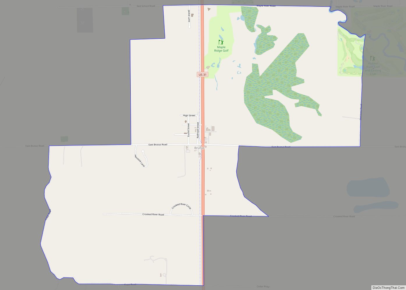
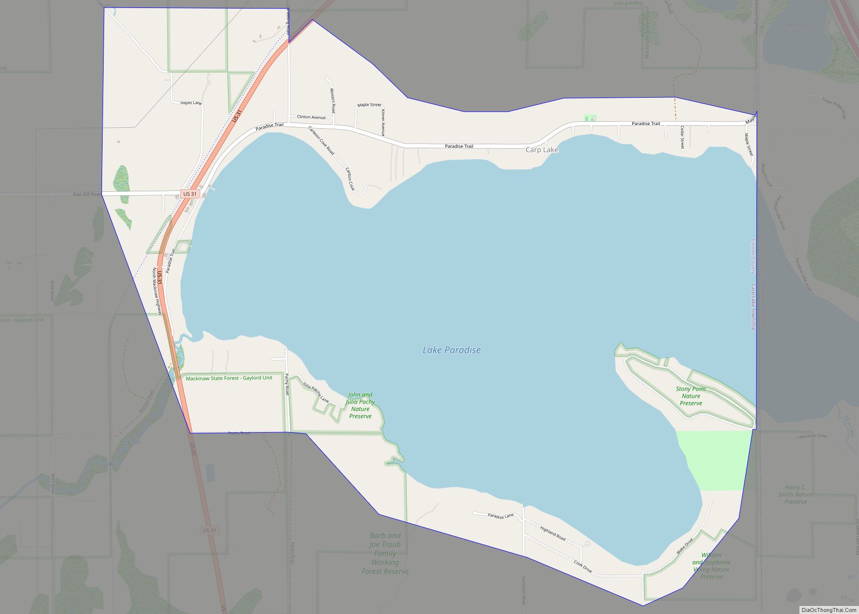
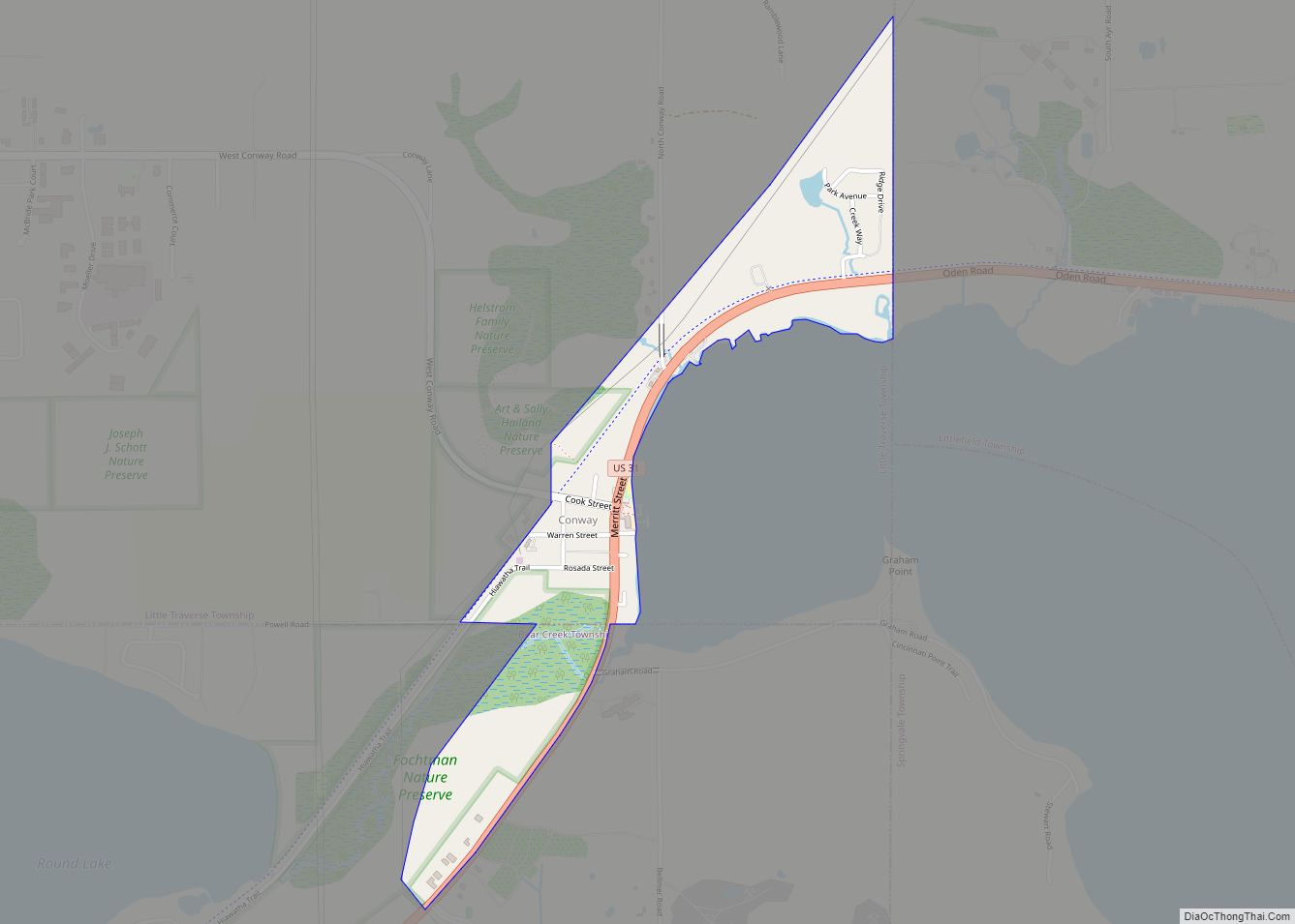
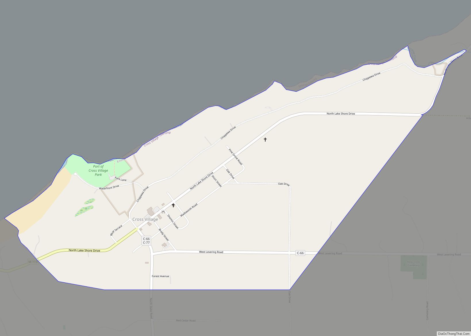
| County: | Emmet County |
| Incorporated: | 1879 (village) 1895 (city) |
| Elevation: | 669 ft (202 m) |
| Total Area: | 5.33 sq mi (13.82 km²) |
| Land Area: | 5.15 sq mi (13.33 km²) |
| Water Area: | 0.19 sq mi (0.49 km²) |
| Total Population: | 5,877 |
| Population Density: | 1,141.83/sq mi (440.88/km²) |
| ZIP code: | 49770 |
| Area code: | 231 |
| FIPS code: | 2663820 |
| GNISfeature ID: | 0634731 |
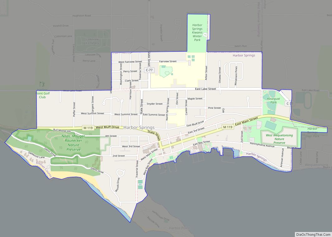
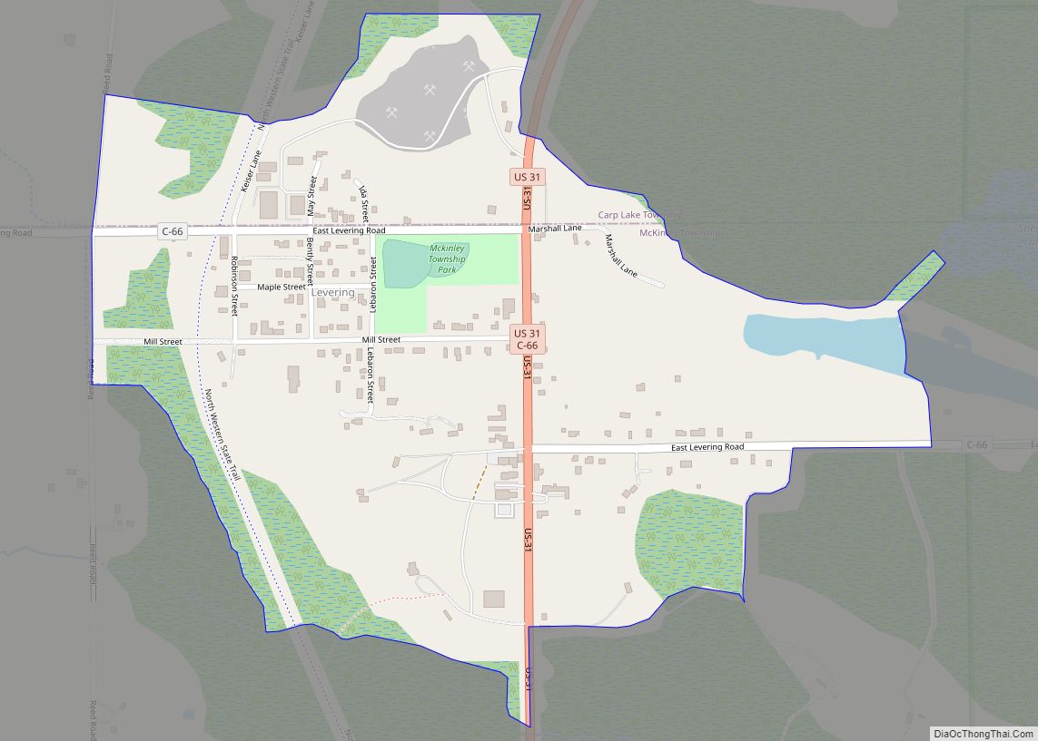
Online Interactive Map
Click on ![]() to view map in "full screen" mode.
to view map in "full screen" mode.
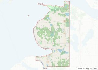
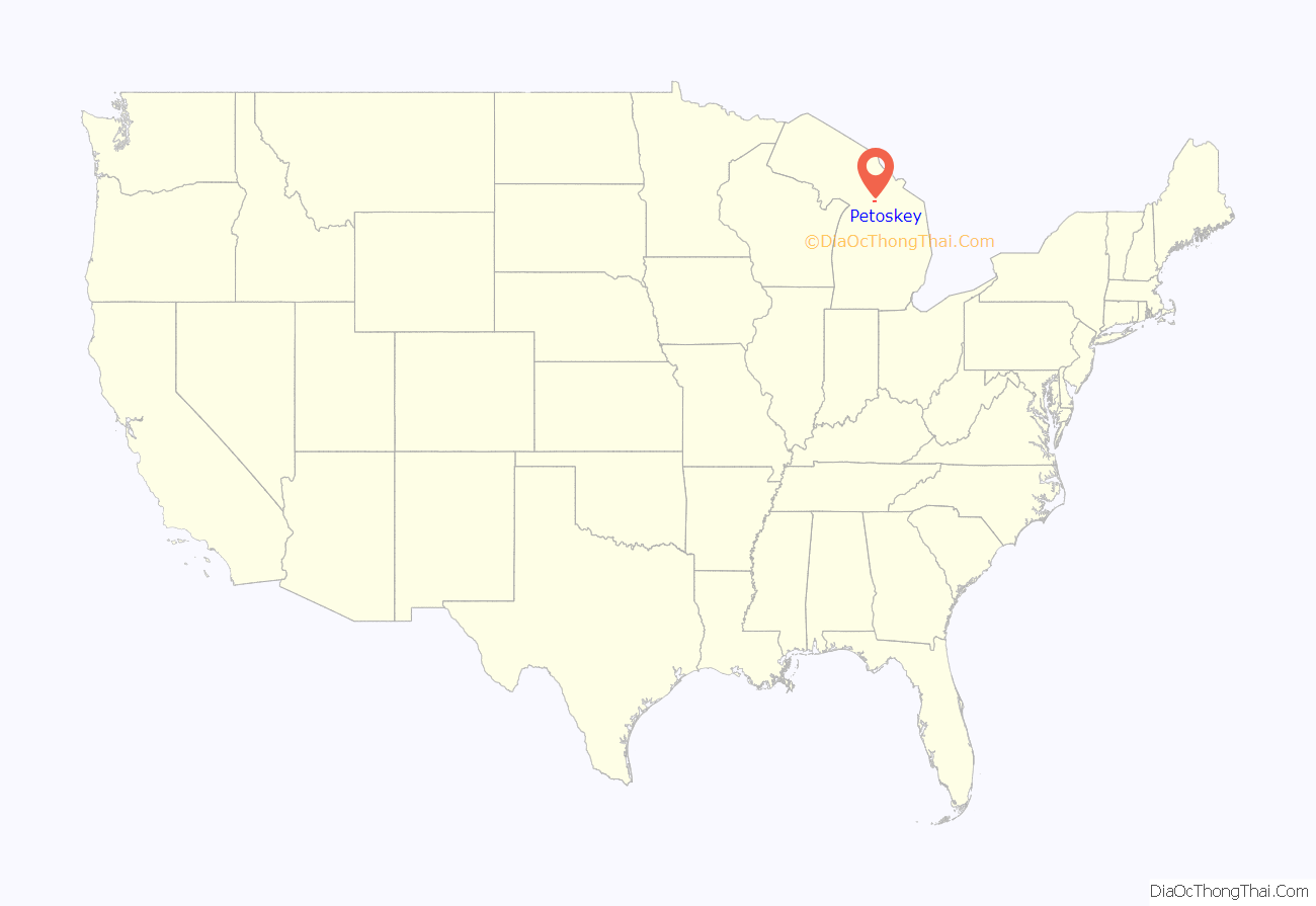
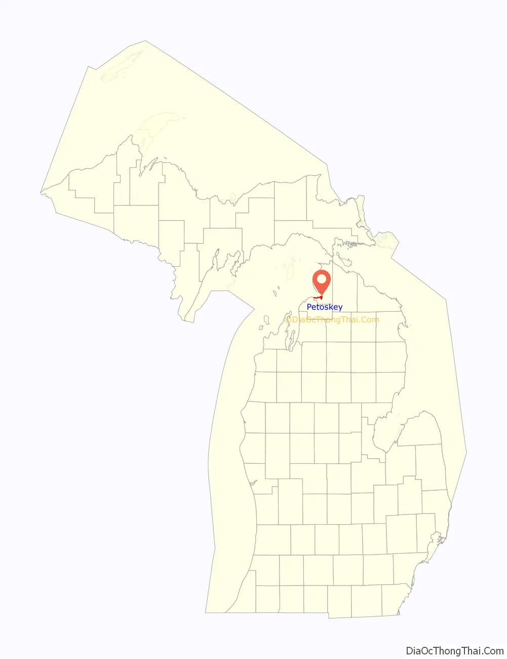
Petoskey location map. Where is Petoskey city?
History
Odawa inhabitants
The Little Traverse Bay area was long inhabited by indigenous peoples, including the Odawa people. The name Petoskey is said to mean “where the light shines through the clouds” in the language of the Odawa. After the 1836 Treaty of Washington, Odawa Chief Ignatius Petosega (1787–1885) took the opportunity to purchase lands near the Bear River. Petosega’s father was Antoine Carre, a French Canadian fur trader and his mother was Odawa.
Early Presbyterian missions
By the 1850s, several religious groups had established missions near the Little Traverse Bay. A Mormon offshoot had been based at Beaver Island, the Jesuit missionaries had been based at L’arbor Croche and Michilimackinac, with a Catholic presence in Harbor Springs, then known as “Little Traverse”. Andrew Porter, a Presbyterian missionary, arrived at the village of Bear River (as it was then called) in 1852.
Pioneer commercial interests
Amos Fox and Hirem Obed Rose were pioneer entrepreneurs who had made money during both the California Gold Rush and at Northport selling lumber and goods to passing ships. Originally based at Northport, in the 1850s Rose and Fox (or Fox & Rose) expanded their business interests to Charlevoix and Petoskey. Rose also earned income as part of a business partnership that extended the railroad from Walton Junction to Traverse City. H.O. Rose, along with Archibald Buttars, established a general merchandise business in Petoskey.
After the partnership split, Rose relocated to Petoskey and in 1873 built the first dock in the town. When the Grand Rapids and Indiana Railroad was about to be extended into the Bay View area, Rose purchased much land in that area, as well as trolley cars, to enable transport between Petoskey and Bay View. Rose also developed the first general store, extensive lime quarries (Michigan Limestone Company, aka Petoskey Lime Company;), building the Arlington Hotel, and lumbering enterprises, and harbor improvements in 1893. He served as first president of the village and officiated at early commemorative public events. Rose’s influence on the city was also commemorated by the naming of the H. O. Rose room at the Perry Hotel.
Passenger Pigeons
In the late 19th century, Petoskey was in the region of Northern Michigan where 50,000 passenger pigeon birds were killed daily in massive hunts, leading to their complete extinction in the early 20th century. A state historical marker memorializes these events, including the last great nesting of the passenger pigeons at Crooked Lake in 1878. One hunter was reputed to have personally killed “a million birds” and earned $60,000, the equivalent of $1 million today.
Petoskey is noted for a high concentration of ancient fossil coral, now named Petoskey stones, designated as the state stone of Michigan.
This city was the northern terminus of the Chicago and West Michigan Railway.
With members descended from the numerous bands in northern Michigan, the Little Traverse Bay Band is a federally recognized tribe that has its headquarters at nearby Harbor Springs, Michigan. It also owns and operates a gaming casino in Petoskey.
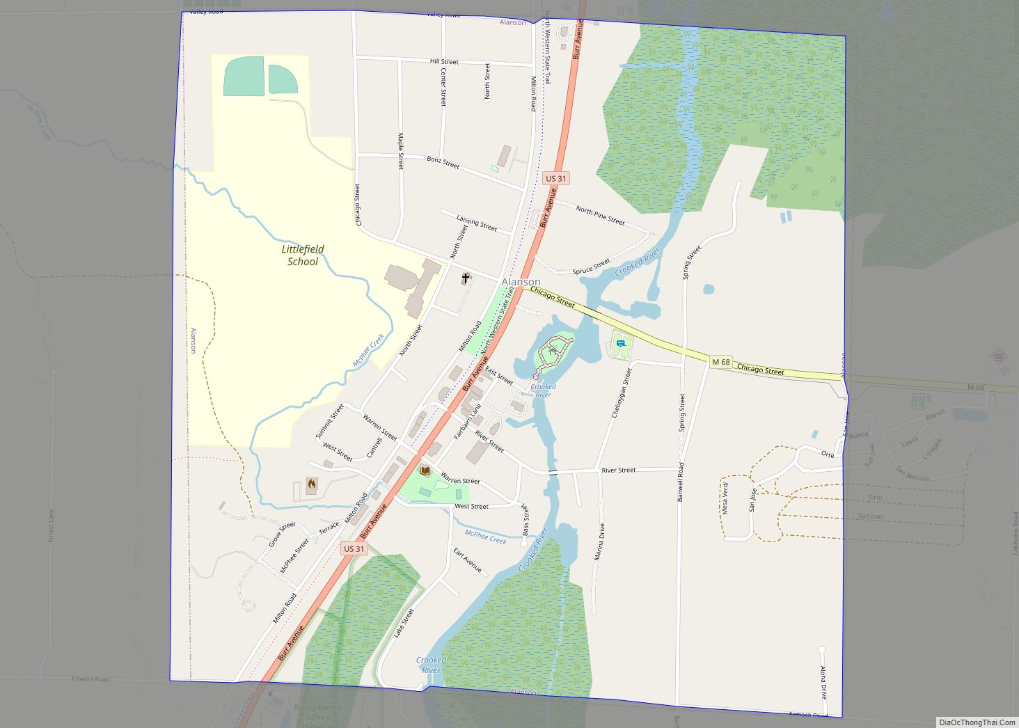
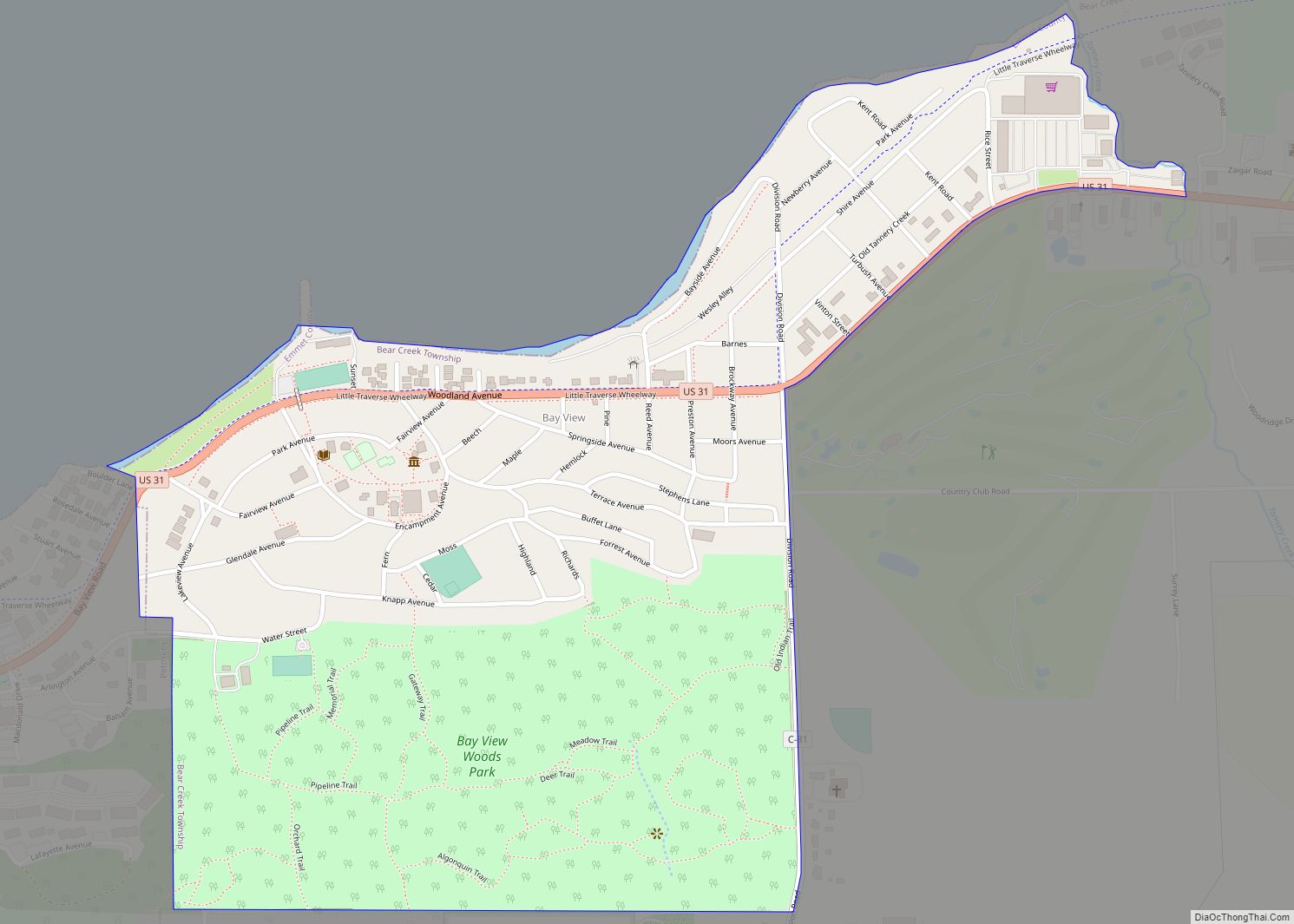
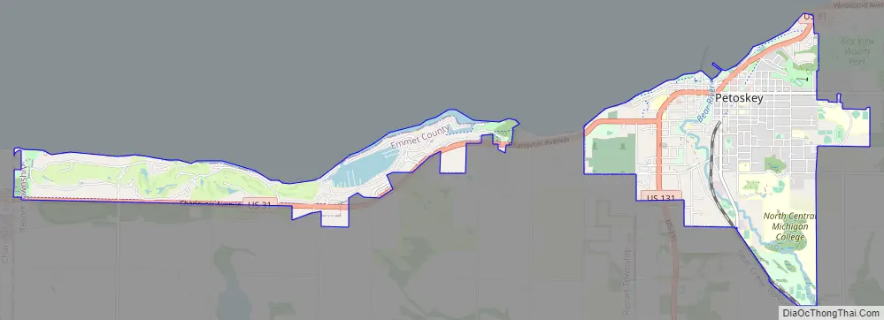
Petoskey Road Map
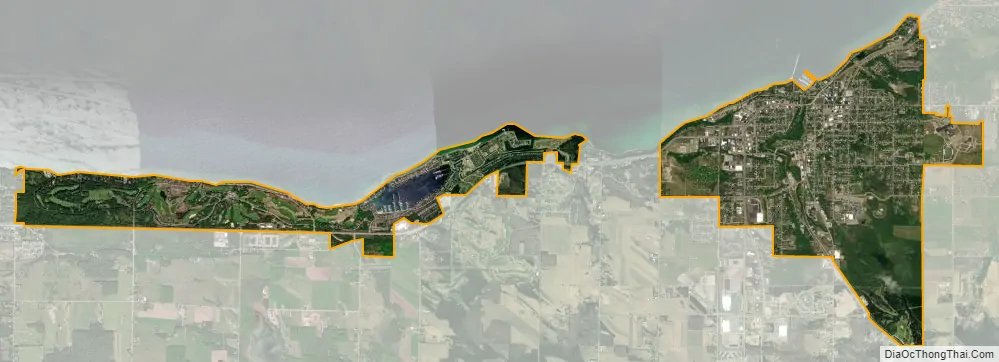
Petoskey city Satellite Map
Geography
Part of Northern Michigan, Petoskey is on the southeast shore of the Little Traverse Bay of Lake Michigan at the mouth of the Bear River. According to the United States Census Bureau, the city has a total area of 5.29 square miles (13.70 km), of which 5.09 square miles (13.18 km) is land and 0.20 square miles (0.52 km) is water.
See also
Map of Michigan State and its subdivision:- Alcona
- Alger
- Allegan
- Alpena
- Antrim
- Arenac
- Baraga
- Barry
- Bay
- Benzie
- Berrien
- Branch
- Calhoun
- Cass
- Charlevoix
- Cheboygan
- Chippewa
- Clare
- Clinton
- Crawford
- Delta
- Dickinson
- Eaton
- Emmet
- Genesee
- Gladwin
- Gogebic
- Grand Traverse
- Gratiot
- Hillsdale
- Houghton
- Huron
- Ingham
- Ionia
- Iosco
- Iron
- Isabella
- Jackson
- Kalamazoo
- Kalkaska
- Kent
- Keweenaw
- Lake
- Lake Hurron
- Lake Michigan
- Lake St. Clair
- Lake Superior
- Lapeer
- Leelanau
- Lenawee
- Livingston
- Luce
- Mackinac
- Macomb
- Manistee
- Marquette
- Mason
- Mecosta
- Menominee
- Midland
- Missaukee
- Monroe
- Montcalm
- Montmorency
- Muskegon
- Newaygo
- Oakland
- Oceana
- Ogemaw
- Ontonagon
- Osceola
- Oscoda
- Otsego
- Ottawa
- Presque Isle
- Roscommon
- Saginaw
- Saint Clair
- Saint Joseph
- Sanilac
- Schoolcraft
- Shiawassee
- Tuscola
- Van Buren
- Washtenaw
- Wayne
- Wexford
- Alabama
- Alaska
- Arizona
- Arkansas
- California
- Colorado
- Connecticut
- Delaware
- District of Columbia
- Florida
- Georgia
- Hawaii
- Idaho
- Illinois
- Indiana
- Iowa
- Kansas
- Kentucky
- Louisiana
- Maine
- Maryland
- Massachusetts
- Michigan
- Minnesota
- Mississippi
- Missouri
- Montana
- Nebraska
- Nevada
- New Hampshire
- New Jersey
- New Mexico
- New York
- North Carolina
- North Dakota
- Ohio
- Oklahoma
- Oregon
- Pennsylvania
- Rhode Island
- South Carolina
- South Dakota
- Tennessee
- Texas
- Utah
- Vermont
- Virginia
- Washington
- West Virginia
- Wisconsin
- Wyoming