Harbor Springs is a city and resort community in Emmet County, Michigan. The population was 1,194 in the 2010 census.
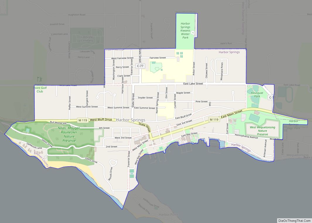
Harbor Springs is in a sheltered bay on the north shore of the Little Traverse Bay on Lake Michigan. The Little Traverse Lighthouse is a historic lighthouse on the Harbor Point peninsula, which shelters the deepest natural harbor on the Great Lakes. M-119 connects with US 31 7 miles (11 km) east and south at Bay View and Petoskey, which is 4 miles (6.4 km) away on the south side of the harbor.
The area is known for its historic summer resorts, such as Wequetonsing, which was founded by Illinois businessmen and lawyers Henry Stryker III, and Henry Brigham McClure. They were both connected with the Jacob Bunn industrial dynasty of Illinois.
| Name: | Harbor Springs city |
|---|---|
| LSAD Code: | 25 |
| LSAD Description: | city (suffix) |
| State: | Michigan |
| County: | Emmet County |
| Incorporated: | 1880 |
| Elevation: | 669 ft (204 m) |
| Total Area: | 1.30 sq mi (3.37 km²) |
| Land Area: | 1.30 sq mi (3.37 km²) |
| Water Area: | 0.00 sq mi (0.00 km²) |
| Total Population: | 1,274 |
| Population Density: | 977.74/sq mi (377.57/km²) |
| Area code: | 231 |
| FIPS code: | 2636560 |
| GNISfeature ID: | 0627758 |
Online Interactive Map
Click on ![]() to view map in "full screen" mode.
to view map in "full screen" mode.
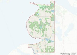
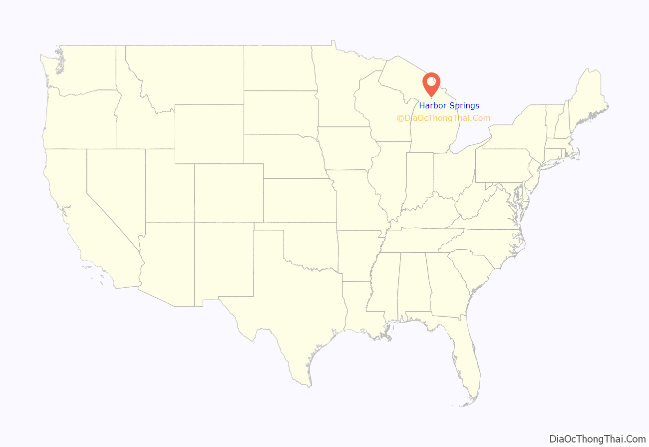
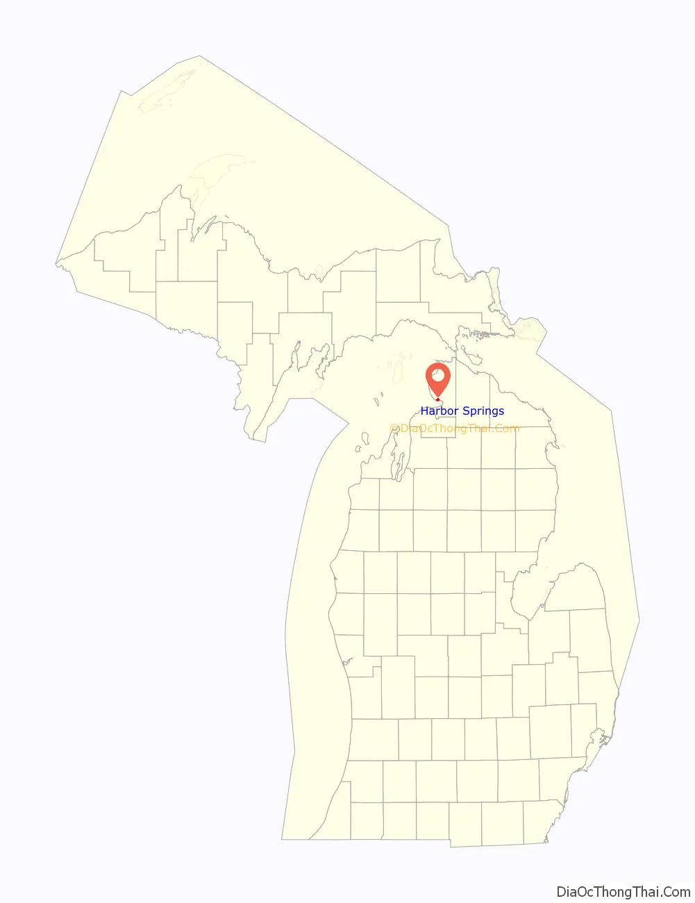
Harbor Springs location map. Where is Harbor Springs city?
History
The European-American settlement started with a mission by French Catholic Jesuits; they called this area L’Arbre Croche, meaning Crooked Tree. In 1847, L’Arbre Croche had the largest concentration of Native Americans in Michigan. French traders renamed the area Petit Traverse, or Little Crossing, when they arrived in the area. After more settlers came from the eastern United States, they changed the name of the village to Harbor Springs, incorporating it in 1880.
The federally recognized Little Traverse Bay Bands of Odawa Indians are descendants of the numerous Odawa bands that occupied this area. They have their tribal offices in Harbor Springs and a gaming resort in Petoskey.
One of the city’s prominent European-Americans was Ephraim Shay (1839–1916), known for his invention of the Shay locomotive. The hexagonal-shaped house he built in downtown Harbor Springs still stands and is listed on the National Register of Historic Places. The local elementary school is named after him.
Another building of interest is the Douglas House on the shore of Lake Michigan. Designed by architect Richard Meier and completed in 1973, this house is one of 150 structures listed in 2007 as America’s Favorite Architecture by the American Institute of Architects.
Harbor Springs was the location of the Club Ponytail, a music hall destroyed by fire in 1969.
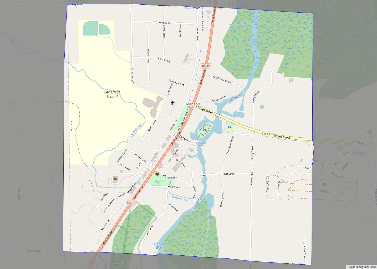
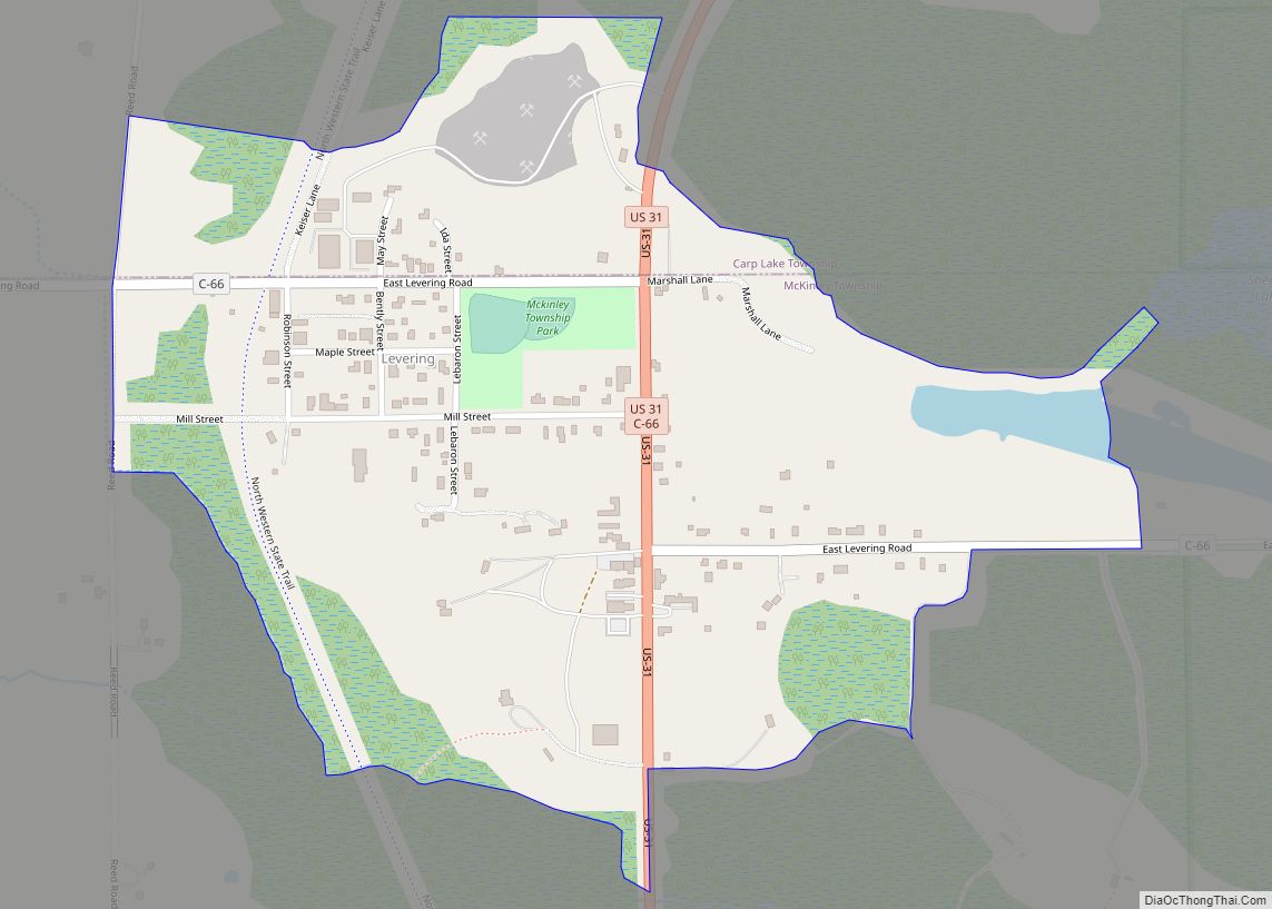
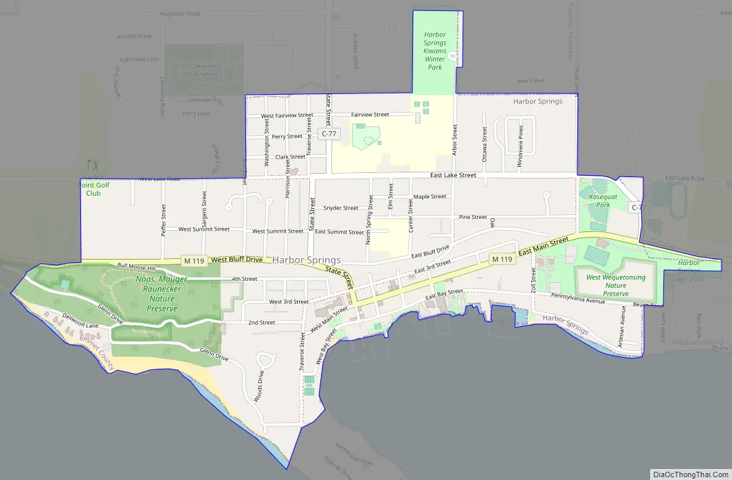
Harbor Springs Road Map
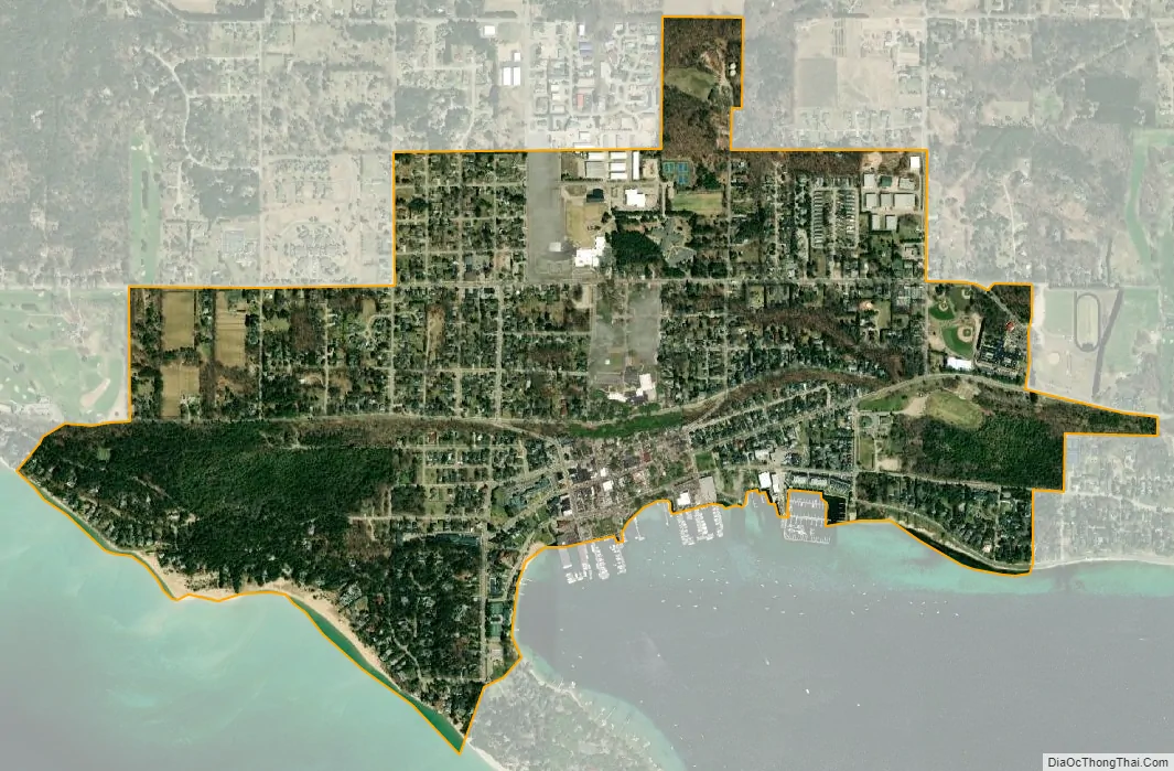
Harbor Springs city Satellite Map
Geography
According to the United States Census Bureau, the city has a total area of 1.30 square miles (3.37 km), all of it land.
Climate
The climate is described as Humid Continental by the Köppen Climate System, abbreviated as Dfb.
See also
Map of Michigan State and its subdivision:- Alcona
- Alger
- Allegan
- Alpena
- Antrim
- Arenac
- Baraga
- Barry
- Bay
- Benzie
- Berrien
- Branch
- Calhoun
- Cass
- Charlevoix
- Cheboygan
- Chippewa
- Clare
- Clinton
- Crawford
- Delta
- Dickinson
- Eaton
- Emmet
- Genesee
- Gladwin
- Gogebic
- Grand Traverse
- Gratiot
- Hillsdale
- Houghton
- Huron
- Ingham
- Ionia
- Iosco
- Iron
- Isabella
- Jackson
- Kalamazoo
- Kalkaska
- Kent
- Keweenaw
- Lake
- Lake Hurron
- Lake Michigan
- Lake St. Clair
- Lake Superior
- Lapeer
- Leelanau
- Lenawee
- Livingston
- Luce
- Mackinac
- Macomb
- Manistee
- Marquette
- Mason
- Mecosta
- Menominee
- Midland
- Missaukee
- Monroe
- Montcalm
- Montmorency
- Muskegon
- Newaygo
- Oakland
- Oceana
- Ogemaw
- Ontonagon
- Osceola
- Oscoda
- Otsego
- Ottawa
- Presque Isle
- Roscommon
- Saginaw
- Saint Clair
- Saint Joseph
- Sanilac
- Schoolcraft
- Shiawassee
- Tuscola
- Van Buren
- Washtenaw
- Wayne
- Wexford
- Alabama
- Alaska
- Arizona
- Arkansas
- California
- Colorado
- Connecticut
- Delaware
- District of Columbia
- Florida
- Georgia
- Hawaii
- Idaho
- Illinois
- Indiana
- Iowa
- Kansas
- Kentucky
- Louisiana
- Maine
- Maryland
- Massachusetts
- Michigan
- Minnesota
- Mississippi
- Missouri
- Montana
- Nebraska
- Nevada
- New Hampshire
- New Jersey
- New Mexico
- New York
- North Carolina
- North Dakota
- Ohio
- Oklahoma
- Oregon
- Pennsylvania
- Rhode Island
- South Carolina
- South Dakota
- Tennessee
- Texas
- Utah
- Vermont
- Virginia
- Washington
- West Virginia
- Wisconsin
- Wyoming