The Bay View Association of the United Methodist Church, known as Bay View, is an example of two uniquely American community forms: the Methodist camp meeting and the independent Chautauqua. Designed for the first purpose in 1876 as the county’s only romantically-planned campground, and adapted for the second from 1885 to 1915, Bay View constitutes a well-executed ideal Victorian summer community that has remained in continuous operation since its foundation.
| Name: | Bay View CDP |
|---|---|
| LSAD Code: | 57 |
| LSAD Description: | CDP (suffix) |
| State: | Michigan |
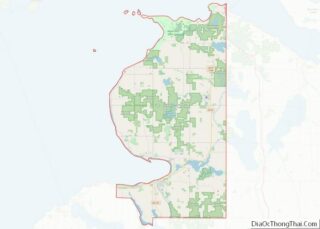
| County: | Emmet County |
| FIPS code: | 2606260 |
Online Interactive Map
Click on ![]() to view map in "full screen" mode.
to view map in "full screen" mode.
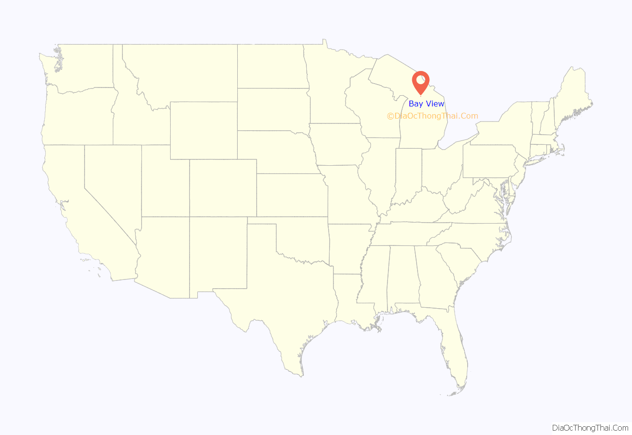
Bay View location map. Where is Bay View CDP?
History
Bay View was founded in 1875 by Michigan Methodists as a camp meeting “for scientific and intellectual culture, and for the promotion of religion and morality.” Bay View’s origins can be traced to the camp meeting movement which saw the development of similar resorts such as Wesleyan Grove on Martha’s Vineyard, Ocean Grove, New Jersey, or Lakeside, Ohio.
The group considered multiple locations, and eventually struck a deal with the citizens of Petoskey and the Grand Rapids and Indiana Railroad, where the Petoskey citizenry would pay to extend the railroad line from their town to Bay View, the railroad would purchase the site, and the Methodists would agree to improve the location and hold camp meetings there for fifteen years. In 1876, the first group of Methodists travelled to the site, cleared an area of underbrush, and built a preaching stand and an audience area under the trees. Dr. Seth Reed chose the name of Bay View. He was secretary of the Bay View Association for 14 years. Dr. Reed platted the grounds and named the streets, some of which were named after early settlers. On August 2, 1876, the first meeting was held at the site. Dr. Pilcher suggested the name Bay View, and selected the site of the Speaker’s Stand. He wrote articles of incorporation, stating the assembly was “organized for intellectual and scientific culture, and for the promotion of the cause of religion and morality.” Shelter at the time was only in tents. Construction of cottages began almost immediately, and by 1881 there were about 150 at the site. By this time, the original religious-oriented camp meeting program had languished and the association hired John M. Hall to organize Bay View’s interdenominational Assembly program: a “Christian Institution of the broadest catholicity.” Departments included Bible, Missionary, Social, Health, Industrial, Country Life: American and International.
Under the leadership of John M. Hall, Bay View adopted a Chautauqua program which included a series of educational lectures, classes, entertainment, political speeches, and music, began in 1886, and the community developed around these activities. These programs, along with programs for children and a variety of classes, took place in July and August of each year. The program was immensely successful, as a result, number of cottages in the community soared, with 200 in 1887, 400 in 1895, and 500 in 1901. Many of these newcomers were from other, non-Methodist denominations, and many stayed all summer rather than for only a few weeks of the year. Hall writes of the transformation of Bay View from its camp meeting roots to a Chautauqua: “founded by Methodists, it is now by its organic law interdenominational in management and life. People of every denomination are there in large numbers and so beautiful is the hospitality of ideas that another’s specific church affiliations never occurs to one.” In 1887, the Bay View Summer University opened. The University was associated with Albion College in 1919 until 1969.
The Bay View Association was listed as a National Historic Landmark district in 1987 as “one of the finest remaining examples of two uniquely American community forms, the Methodist Camp Meeting and the independent Chautauqua.”
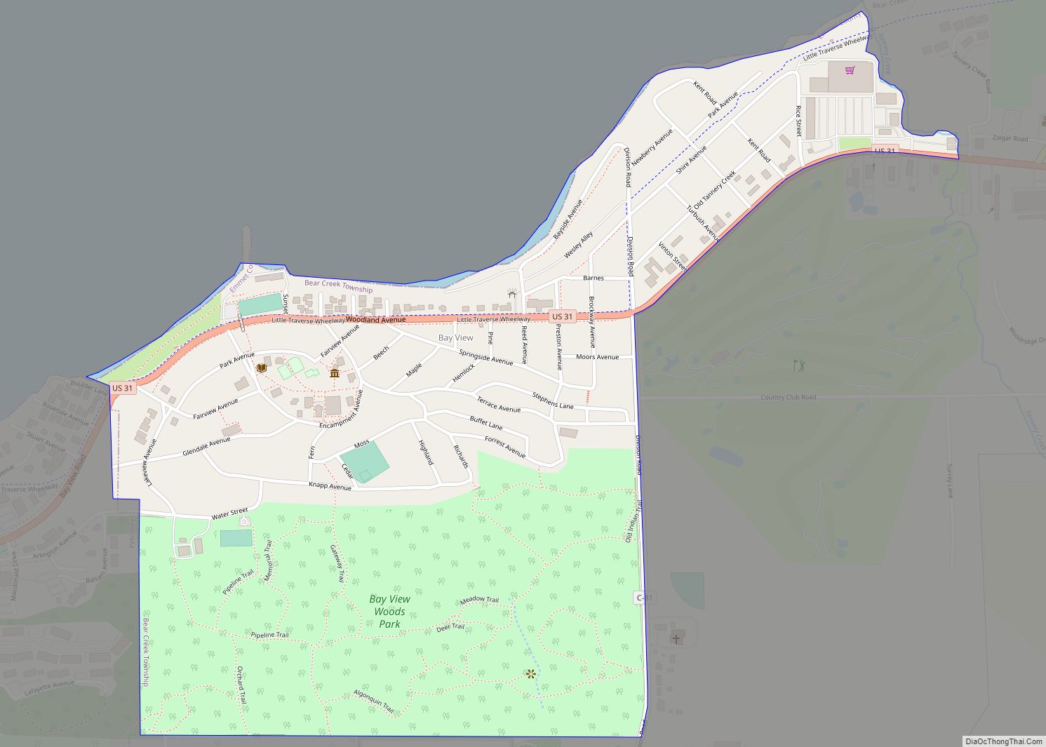
Bay View Road Map
Bay View city Satellite Map
See also
Map of Michigan State and its subdivision:- Alcona
- Alger
- Allegan
- Alpena
- Antrim
- Arenac
- Baraga
- Barry
- Bay
- Benzie
- Berrien
- Branch
- Calhoun
- Cass
- Charlevoix
- Cheboygan
- Chippewa
- Clare
- Clinton
- Crawford
- Delta
- Dickinson
- Eaton
- Emmet
- Genesee
- Gladwin
- Gogebic
- Grand Traverse
- Gratiot
- Hillsdale
- Houghton
- Huron
- Ingham
- Ionia
- Iosco
- Iron
- Isabella
- Jackson
- Kalamazoo
- Kalkaska
- Kent
- Keweenaw
- Lake
- Lake Hurron
- Lake Michigan
- Lake St. Clair
- Lake Superior
- Lapeer
- Leelanau
- Lenawee
- Livingston
- Luce
- Mackinac
- Macomb
- Manistee
- Marquette
- Mason
- Mecosta
- Menominee
- Midland
- Missaukee
- Monroe
- Montcalm
- Montmorency
- Muskegon
- Newaygo
- Oakland
- Oceana
- Ogemaw
- Ontonagon
- Osceola
- Oscoda
- Otsego
- Ottawa
- Presque Isle
- Roscommon
- Saginaw
- Saint Clair
- Saint Joseph
- Sanilac
- Schoolcraft
- Shiawassee
- Tuscola
- Van Buren
- Washtenaw
- Wayne
- Wexford
- Alabama
- Alaska
- Arizona
- Arkansas
- California
- Colorado
- Connecticut
- Delaware
- District of Columbia
- Florida
- Georgia
- Hawaii
- Idaho
- Illinois
- Indiana
- Iowa
- Kansas
- Kentucky
- Louisiana
- Maine
- Maryland
- Massachusetts
- Michigan
- Minnesota
- Mississippi
- Missouri
- Montana
- Nebraska
- Nevada
- New Hampshire
- New Jersey
- New Mexico
- New York
- North Carolina
- North Dakota
- Ohio
- Oklahoma
- Oregon
- Pennsylvania
- Rhode Island
- South Carolina
- South Dakota
- Tennessee
- Texas
- Utah
- Vermont
- Virginia
- Washington
- West Virginia
- Wisconsin
- Wyoming
