Bellevue is a village in Eaton County in the U.S. state of Michigan. The population was 1,282 at the 2010 census. The village is located within Bellevue Township.
| Name: | Bellevue village |
|---|---|
| LSAD Code: | 47 |
| LSAD Description: | village (suffix) |
| State: | Michigan |
| County: | Eaton County |
| Elevation: | 863 ft (263 m) |
| Total Area: | 1.09 sq mi (2.83 km²) |
| Land Area: | 1.02 sq mi (2.63 km²) |
| Water Area: | 0.07 sq mi (0.19 km²) |
| Total Population: | 1,308 |
| Population Density: | 1,286.14/sq mi (496.76/km²) |
| ZIP code: | 49021 |
| Area code: | 269 |
| FIPS code: | 2607060 |
| GNISfeature ID: | 2398080 |
| Website: | http://www.bellevuemi.net/ |
Online Interactive Map
Click on ![]() to view map in "full screen" mode.
to view map in "full screen" mode.
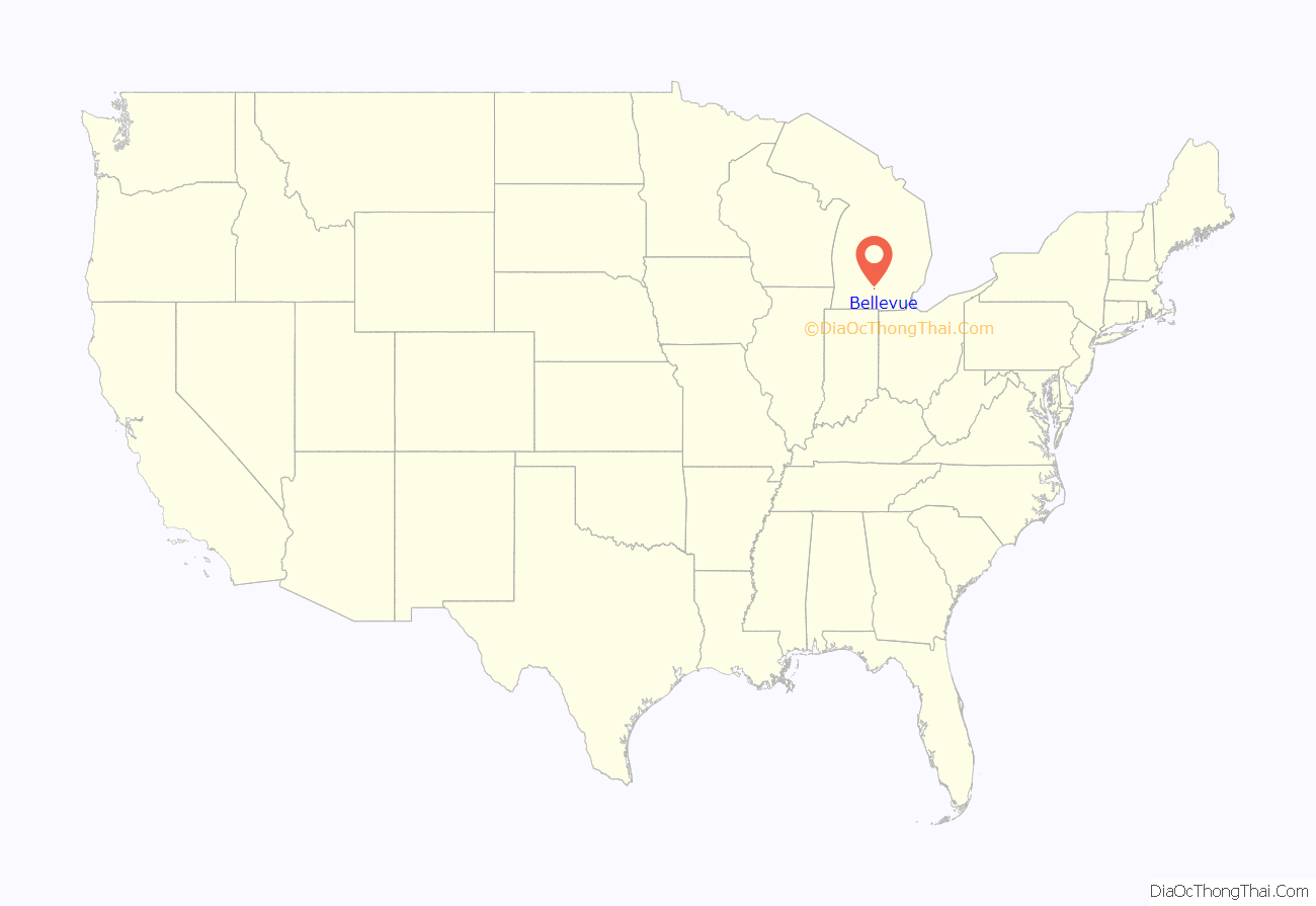
Bellevue location map. Where is Bellevue village?
History
Bellevue was founded by Captain Reuben Fitzgerald, a War of 1812 veteran, in 1833. Bellevue was also the first town founded in Eaton County and the original Eaton County seat and location of the county court house until Charlotte’s founding. The west side of town is home to a large limestone bed, which has been continually mined for over a century and was used to help build the Michigan State Capitol. The Limestone Quarry was preserved by the efforts of Darwin W. Kuhl. Bellevue is also home to abandoned Burt Portland cement factory. The factory opened in 1904 and became one of the largest in Michigan though closed due to bankruptcy in 1928. Also called the “Burt Brand of Rock Portland Cement”, the plant shipped product around the whole state, as well as Ohio, Indiana, Illinois, and Wisconsin. The ruins can still be found in South West Bellevue near the environmental park.[1] Bellevue is also home to a Gothic Mill that produces hydroelectricity using a dam that was built in 1852 by Isaac Crary.
2010 census
As of the census of 2010, there were 1,282 people, 516 households, and 345 families living in the village. The population density was 1,256.9 inhabitants per square mile (485.3/km). There were 575 housing units at an average density of 563.7 per square mile (217.6/km). The racial makeup of the village was 96.2% White, 0.6% African American, 0.2% Native American, 0.2% Asian, 0.6% from other races, and 2.2% from two or more races. Hispanic or Latino of any race were 1.7% of the population.
There were 516 households, of which 34.3% had children under the age of 18 living with them, 45.7% were married couples living together, 15.5% had a female householder with no husband present, 5.6% had a male householder with no wife present, and 33.1% were non-families. 27.9% of all households were made up of individuals, and 14.1% had someone living alone who was 65 years of age or older. The average household size was 2.48 and the average family size was 3.01.
The median age in the village was 35.4 years. 26.1% of residents were under the age of 18; 9.8% were between the ages of 18 and 24; 24.7% were from 25 to 44; 25.6% were from 45 to 64; and 13.9% were 65 years of age or older. The gender makeup of the village was 46.2% male and 53.8% female.
2000 census
As of the census of 2000, there were 1,365 people, 525 households, and 372 families living in the village. The population density was 1,378.7 inhabitants per square mile (532.3/km). There were 551 housing units at an average density of 556.5 per square mile (214.9/km). The racial makeup of the village was 98.10% White, 0.51% African American, 0.22% Native American, 0.07% Asian, 0.15% from other races, and 0.95% from two or more races. Hispanic or Latino of any race were 1.54% of the population.
There were 525 households, out of which 33.9% had children under the age of 18 living with them, 52.8% were married couples living together, 14.3% had a female householder with no husband present, and 29.1% were non-families. 26.1% of all households were made up of individuals, and 12.0% had someone living alone who was 65 years of age or older. The average household size was 2.59 and the average family size was 3.11.
In the village, the population was spread out, with 28.4% under the age of 18, 9.5% from 18 to 24, 28.4% from 25 to 44, 20.2% from 45 to 64, and 13.6% who were 65 years of age or older. The median age was 35 years. For every 100 females, there were 88.5 males. For every 100 females age 18 and over, there were 84.2 males.
The median income for a household in the village was $37,292, and the median income for a family was $44,554. Males had a median income of $31,818 versus $25,221 for females. The per capita income for the village was $16,245. About 5.7% of families and 7.8% of the population were below the poverty line, including 12.1% of those under age 18 and 9.0% of those age 65 or over.
Bellevue Road Map
Bellevue city Satellite Map
Geography
According to the United States Census Bureau, the village has a total area of 1.10 square miles (2.85 km), of which 1.02 square miles (2.64 km) is land and 0.08 square miles (0.21 km) is water.
See also
Map of Michigan State and its subdivision:- Alcona
- Alger
- Allegan
- Alpena
- Antrim
- Arenac
- Baraga
- Barry
- Bay
- Benzie
- Berrien
- Branch
- Calhoun
- Cass
- Charlevoix
- Cheboygan
- Chippewa
- Clare
- Clinton
- Crawford
- Delta
- Dickinson
- Eaton
- Emmet
- Genesee
- Gladwin
- Gogebic
- Grand Traverse
- Gratiot
- Hillsdale
- Houghton
- Huron
- Ingham
- Ionia
- Iosco
- Iron
- Isabella
- Jackson
- Kalamazoo
- Kalkaska
- Kent
- Keweenaw
- Lake
- Lake Hurron
- Lake Michigan
- Lake St. Clair
- Lake Superior
- Lapeer
- Leelanau
- Lenawee
- Livingston
- Luce
- Mackinac
- Macomb
- Manistee
- Marquette
- Mason
- Mecosta
- Menominee
- Midland
- Missaukee
- Monroe
- Montcalm
- Montmorency
- Muskegon
- Newaygo
- Oakland
- Oceana
- Ogemaw
- Ontonagon
- Osceola
- Oscoda
- Otsego
- Ottawa
- Presque Isle
- Roscommon
- Saginaw
- Saint Clair
- Saint Joseph
- Sanilac
- Schoolcraft
- Shiawassee
- Tuscola
- Van Buren
- Washtenaw
- Wayne
- Wexford
- Alabama
- Alaska
- Arizona
- Arkansas
- California
- Colorado
- Connecticut
- Delaware
- District of Columbia
- Florida
- Georgia
- Hawaii
- Idaho
- Illinois
- Indiana
- Iowa
- Kansas
- Kentucky
- Louisiana
- Maine
- Maryland
- Massachusetts
- Michigan
- Minnesota
- Mississippi
- Missouri
- Montana
- Nebraska
- Nevada
- New Hampshire
- New Jersey
- New Mexico
- New York
- North Carolina
- North Dakota
- Ohio
- Oklahoma
- Oregon
- Pennsylvania
- Rhode Island
- South Carolina
- South Dakota
- Tennessee
- Texas
- Utah
- Vermont
- Virginia
- Washington
- West Virginia
- Wisconsin
- Wyoming
