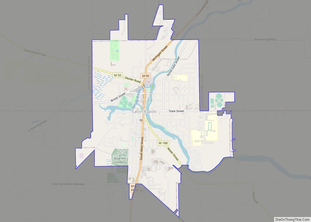
Eaton Rapids is a city in Eaton County in the U.S. state of Michigan. The population was 5,214 at the 2010 census.
The city is located in the south of Eaton Rapids Township, on the boundary with Hamlin Township, though it is politically independent of both townships. Its nickname is the Island City, since the downtown is located on an island, with a public park, in the Grand River.
| Name: | Eaton Rapids city |
|---|---|
| LSAD Code: | 25 |
| LSAD Description: | city (suffix) |
| State: | Michigan |
| County: | Eaton County |
| Elevation: | 876 ft (267 m) |
| Total Area: | 3.73 sq mi (9.67 km²) |
| Land Area: | 3.63 sq mi (9.40 km²) |
| Water Area: | 0.10 sq mi (0.27 km²) |
| Total Population: | 5,203 |
| Population Density: | 1,433.33/sq mi (553.42/km²) |
| ZIP code: | 48827 |
| Area code: | 517 |
| FIPS code: | 2624540 |
| GNISfeature ID: | 1626211 |
| Website: | www.cityofeatonrapids.com |
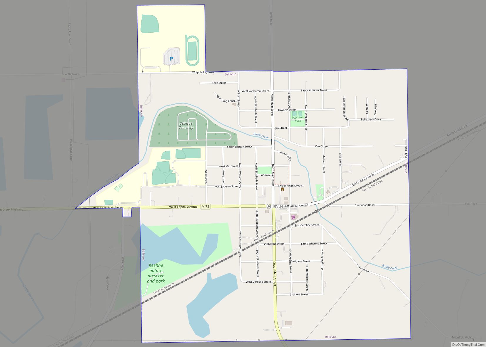
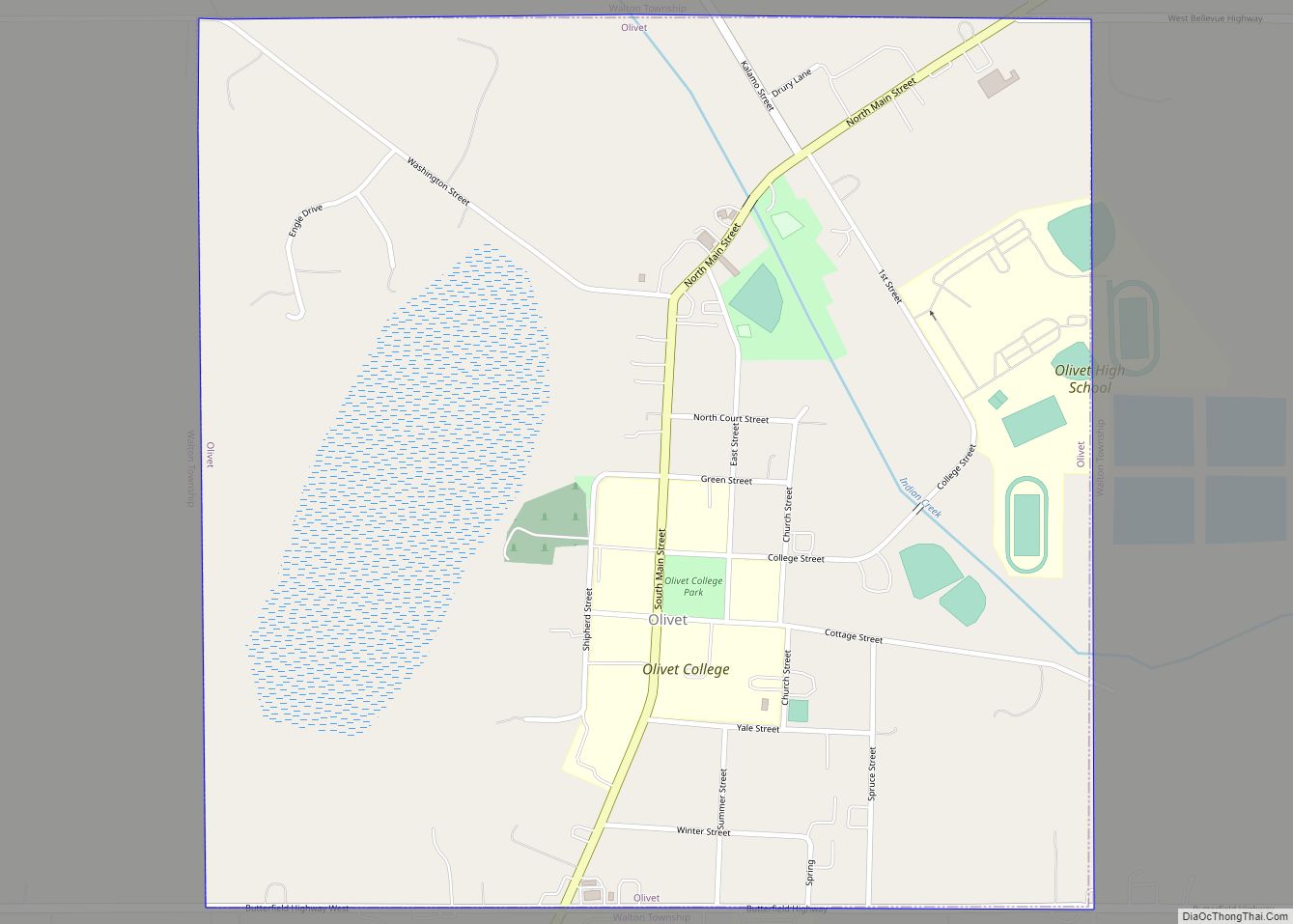
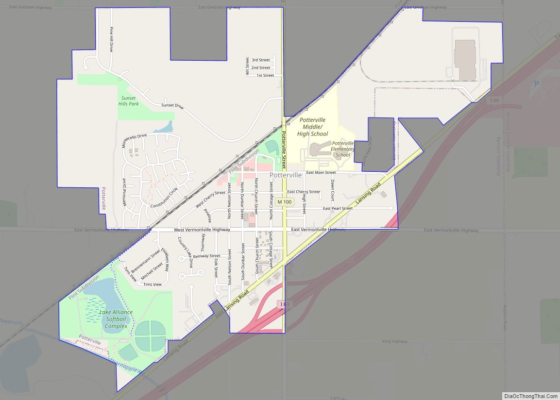
Online Interactive Map
Click on ![]() to view map in "full screen" mode.
to view map in "full screen" mode.
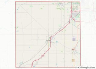
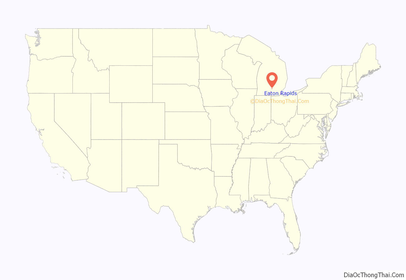
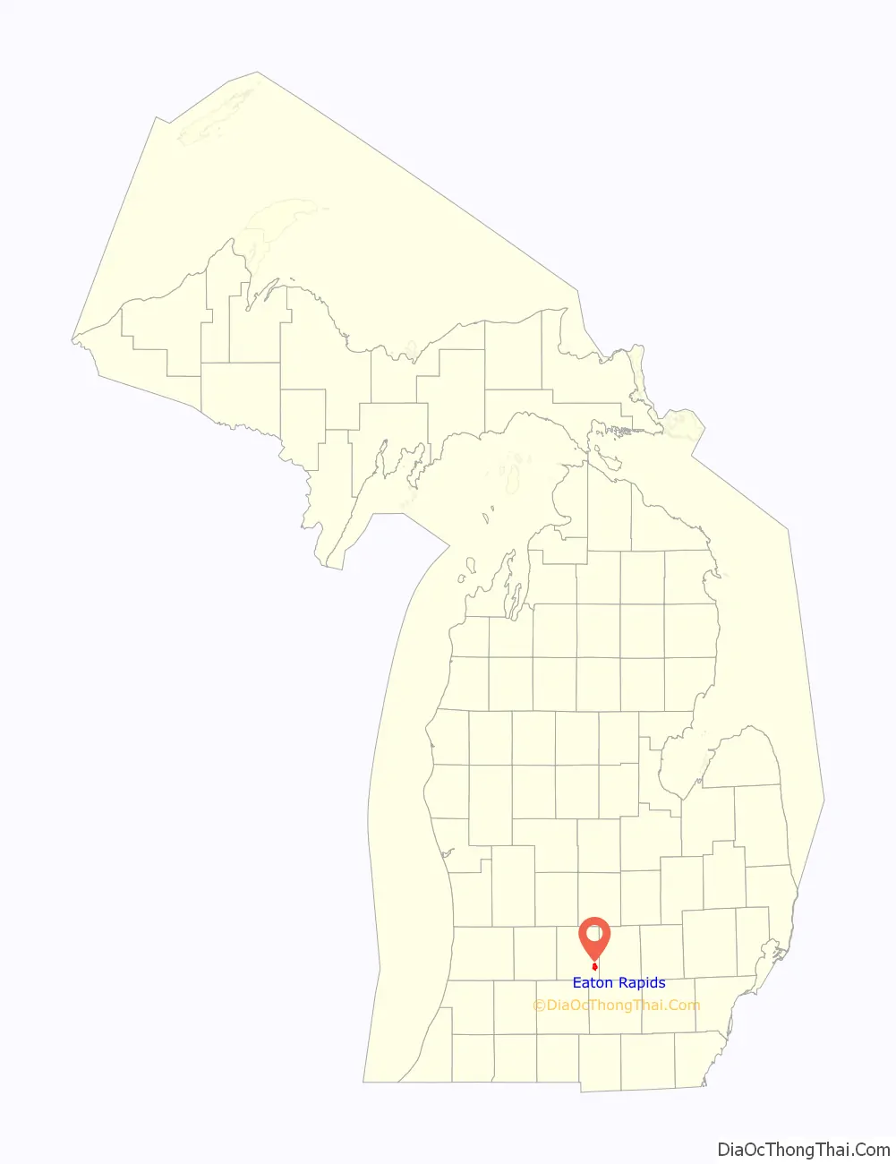
Eaton Rapids location map. Where is Eaton Rapids city?
History
The Potawatomi people established a village in the area of what is now Eaton Rapids in about 1774. This was part of their wide territory in historic times.
The area constituting Eaton Rapids was first settled by Euro-Americans around the year 1835, who were drawn there because of the timber and water power in the area. It became a center of industry. The following year, a sawmill was constructed near Spring Brook in Spicerville; it provided the lumber settlers used to build Eaton Rapids. In 1837, the Old Red Mill was constructed by the mill company; it used waterpower from the stream to grind corn. The mill company later used wood from Spicerville to construct their own sawmill along the Grand River, as well as a wool carding mill.
In 1852, mineral water was first discovered by E. B. Frost, earning Eaton Rapids worldwide fame and the nickname The Saratoga of the West, referring to Saratoga Springs, New York, which had tourism based on such waters. This water was in huge demand, and resulted in many people coming to take mineral water baths, considered to have health benefits, as well as cures from specific ailments. Fourteen wells were drilled in total to supply water for the baths. Only three are still operational.
In 1921, John B. Davidson Sr. came to Eaton Rapids from Philadelphia, Pennsylvania. He started the only textile mill in Michigan that spun its own yarn. The Davidson Mill supplied 95 percent of the wool yarn for major league baseball uniforms, as well as high-grade yarns for other applications. After 48 years in business, the mill burned in 1969. John B. Davidson became a politician, elected as mayor of Eaton Rapids, and later representing the area in both the State House and State Senate.
In 1927, Irving Jacob Reuter and his wife Janet built Medovue, a 17-room, 10,000-square foot, Tudor Revival- style mansion, where they lived for nine years. President of the Oldsmobile automobile company, Reuter was also a financier and inventor. The Reuters donated substantial sums to charity.
Their property was sold to the Roman Catholic Diocese of Lansing, and became the private residence of its first Bishop, the Most Reverend Joseph H. Albers. The diocese later sold the mansion.
It was purchased by C.J. and Mille Sumner, who adapted it and reopened it to operate as an Adult Foster Care Home. They furnished it with antiques and named it “Ivy Manor”. The home was sold again in 1990 and was renovated for use as a bed and breakfast, known as the English Inn. In 1991 it was recognized and listed in the state List of Registered Historic Places in Michigan. The original 10,000-square-foot (930-square-meter) building, complete with many of the original antique furnishings, has 15 acres (61,000 square meters) of gardens and pastoral countryside located on the river. It was purchased by Gary and Donna Nelson in 1996, who also developed a restaurant and pub on the property. It is open to the public for viewing. Their son Erik Nelson has taken over operations.
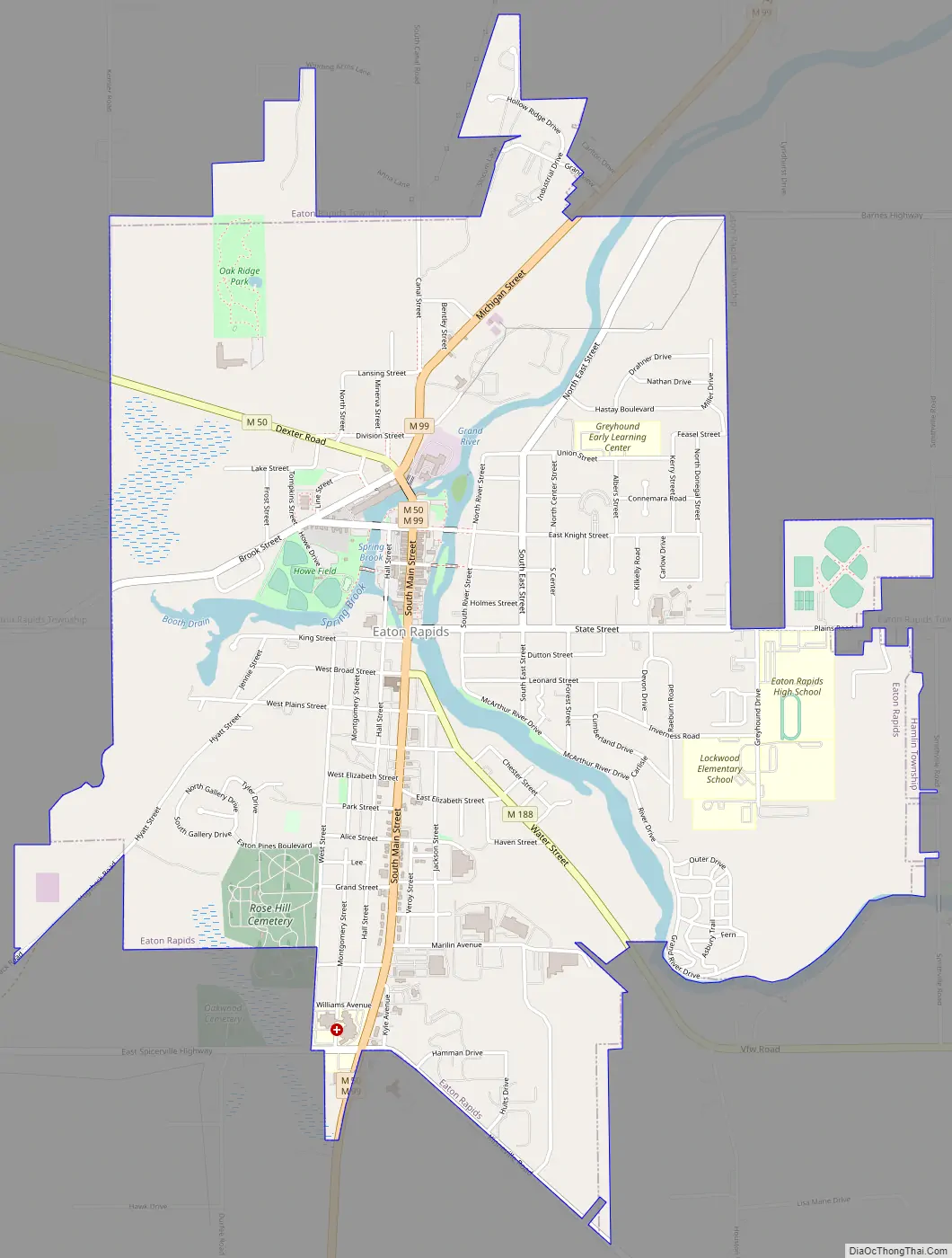
Eaton Rapids Road Map
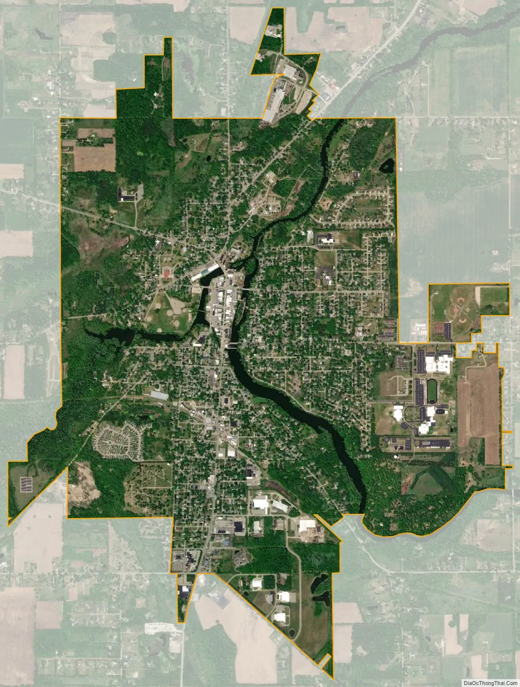
Eaton Rapids city Satellite Map
Geography
Eaton Rapids is on the northward course of the Grand River as it flows from Jackson to Lansing. There it turns westward at its confluence with the Spring Brook. According to the United States Census Bureau, the city has a total area of 3.51 square miles (9.09 square kilometers), of which 3.39 square miles (8.78 km) is land and 0.12 square miles (0.31 km) is water.
Geographic features
- Grand River
Transportation
- M-99 connects with I-94, 19 miles (31 kilometers) to the south near Albion; and with I-96, 12 miles (19 km) north, just south of Lansing.
- M-50 connects with I-69, nine miles (14 km) west in Charlotte; and with US 127 and I-94, 21 miles (34 km) to the southeast just north of Jackson.
- M-188 provides access from Eaton Rapids to the Veterans of Foreign Wars (VFW) National Home near Onondaga.
See also
Map of Michigan State and its subdivision:- Alcona
- Alger
- Allegan
- Alpena
- Antrim
- Arenac
- Baraga
- Barry
- Bay
- Benzie
- Berrien
- Branch
- Calhoun
- Cass
- Charlevoix
- Cheboygan
- Chippewa
- Clare
- Clinton
- Crawford
- Delta
- Dickinson
- Eaton
- Emmet
- Genesee
- Gladwin
- Gogebic
- Grand Traverse
- Gratiot
- Hillsdale
- Houghton
- Huron
- Ingham
- Ionia
- Iosco
- Iron
- Isabella
- Jackson
- Kalamazoo
- Kalkaska
- Kent
- Keweenaw
- Lake
- Lake Hurron
- Lake Michigan
- Lake St. Clair
- Lake Superior
- Lapeer
- Leelanau
- Lenawee
- Livingston
- Luce
- Mackinac
- Macomb
- Manistee
- Marquette
- Mason
- Mecosta
- Menominee
- Midland
- Missaukee
- Monroe
- Montcalm
- Montmorency
- Muskegon
- Newaygo
- Oakland
- Oceana
- Ogemaw
- Ontonagon
- Osceola
- Oscoda
- Otsego
- Ottawa
- Presque Isle
- Roscommon
- Saginaw
- Saint Clair
- Saint Joseph
- Sanilac
- Schoolcraft
- Shiawassee
- Tuscola
- Van Buren
- Washtenaw
- Wayne
- Wexford
- Alabama
- Alaska
- Arizona
- Arkansas
- California
- Colorado
- Connecticut
- Delaware
- District of Columbia
- Florida
- Georgia
- Hawaii
- Idaho
- Illinois
- Indiana
- Iowa
- Kansas
- Kentucky
- Louisiana
- Maine
- Maryland
- Massachusetts
- Michigan
- Minnesota
- Mississippi
- Missouri
- Montana
- Nebraska
- Nevada
- New Hampshire
- New Jersey
- New Mexico
- New York
- North Carolina
- North Dakota
- Ohio
- Oklahoma
- Oregon
- Pennsylvania
- Rhode Island
- South Carolina
- South Dakota
- Tennessee
- Texas
- Utah
- Vermont
- Virginia
- Washington
- West Virginia
- Wisconsin
- Wyoming