Bingham Farms is a village in Oakland County in the U.S. state of Michigan. As of the 2020 census, the population was 1,124. The village is located within Southfield Township.
| Name: | Bingham Farms village |
|---|---|
| LSAD Code: | 47 |
| LSAD Description: | village (suffix) |
| State: | Michigan |
| County: | Oakland County |
| Incorporated: | 1955 |
| Elevation: | 712 ft (217 m) |
| Total Area: | 1.21 sq mi (3.15 km²) |
| Land Area: | 1.21 sq mi (3.15 km²) |
| Water Area: | 0.00 sq mi (0.00 km²) |
| Total Population: | 1,124 |
| Population Density: | 925.86/sq mi (357.34/km²) |
| FIPS code: | 2608460 |
| GNISfeature ID: | 2398123 |
Online Interactive Map
Click on ![]() to view map in "full screen" mode.
to view map in "full screen" mode.
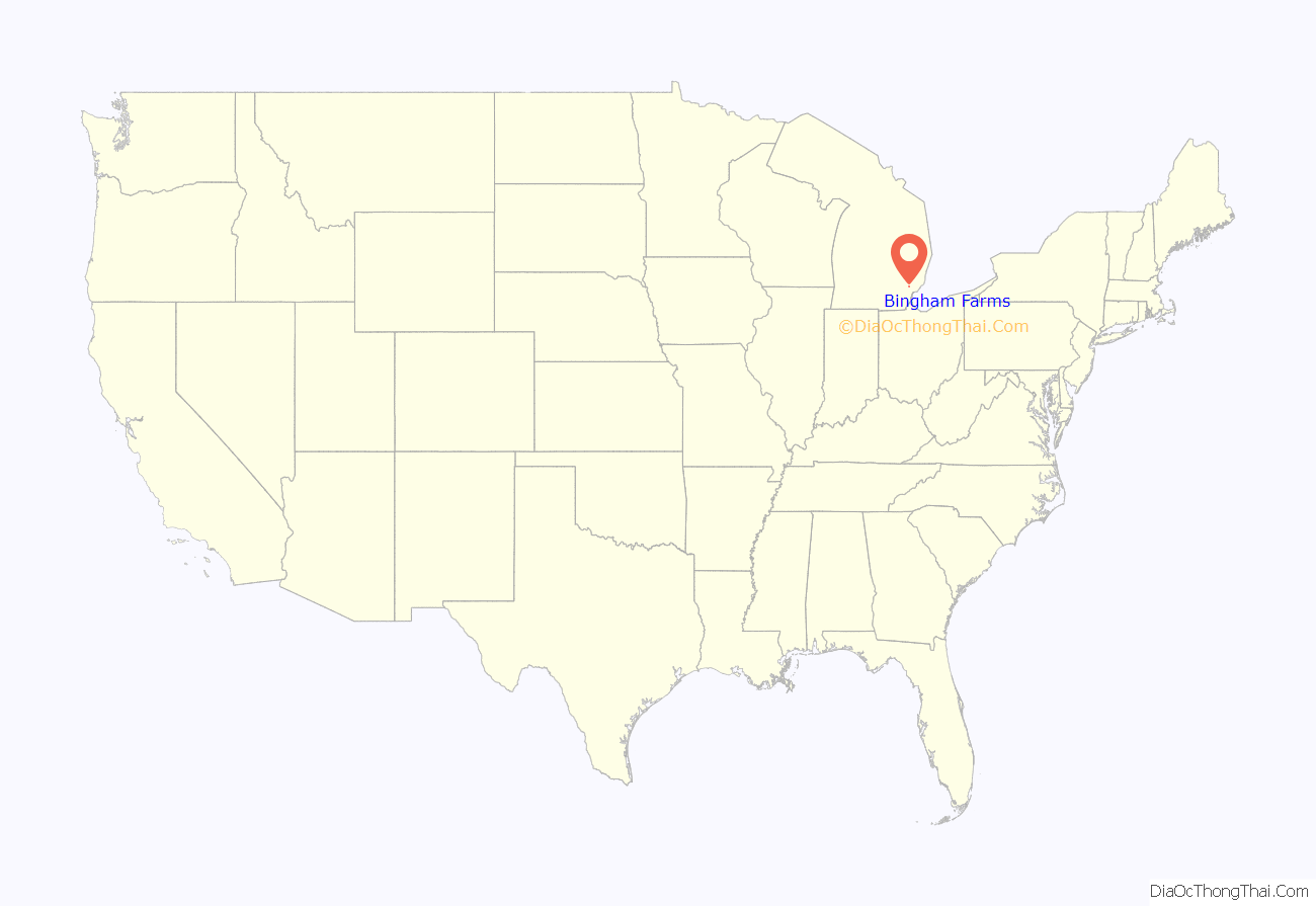
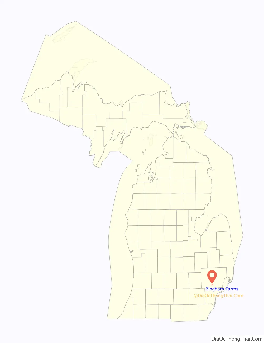
Bingham Farms location map. Where is Bingham Farms village?
History
Originally settled in 1823 by John Daniels of Rutland, Vermont, the tiny settlement in what was soon to become Southfield Township in 1830 would stay isolated and small until Telegraph Road was brought through the area in 1928. In the early 1950s, citizens in the southern part of the township sought to have the entire township incorporated as a city. Seeking to retain their individual characters and guard against annexation, the settlements in the northern end raced to incorporate as villages. Bingham Farms was incorporated on October 4, 1955, named after a prominent family present in the village since 1880. All roads in the village remained unpaved until 1984 to discourage intensive development.
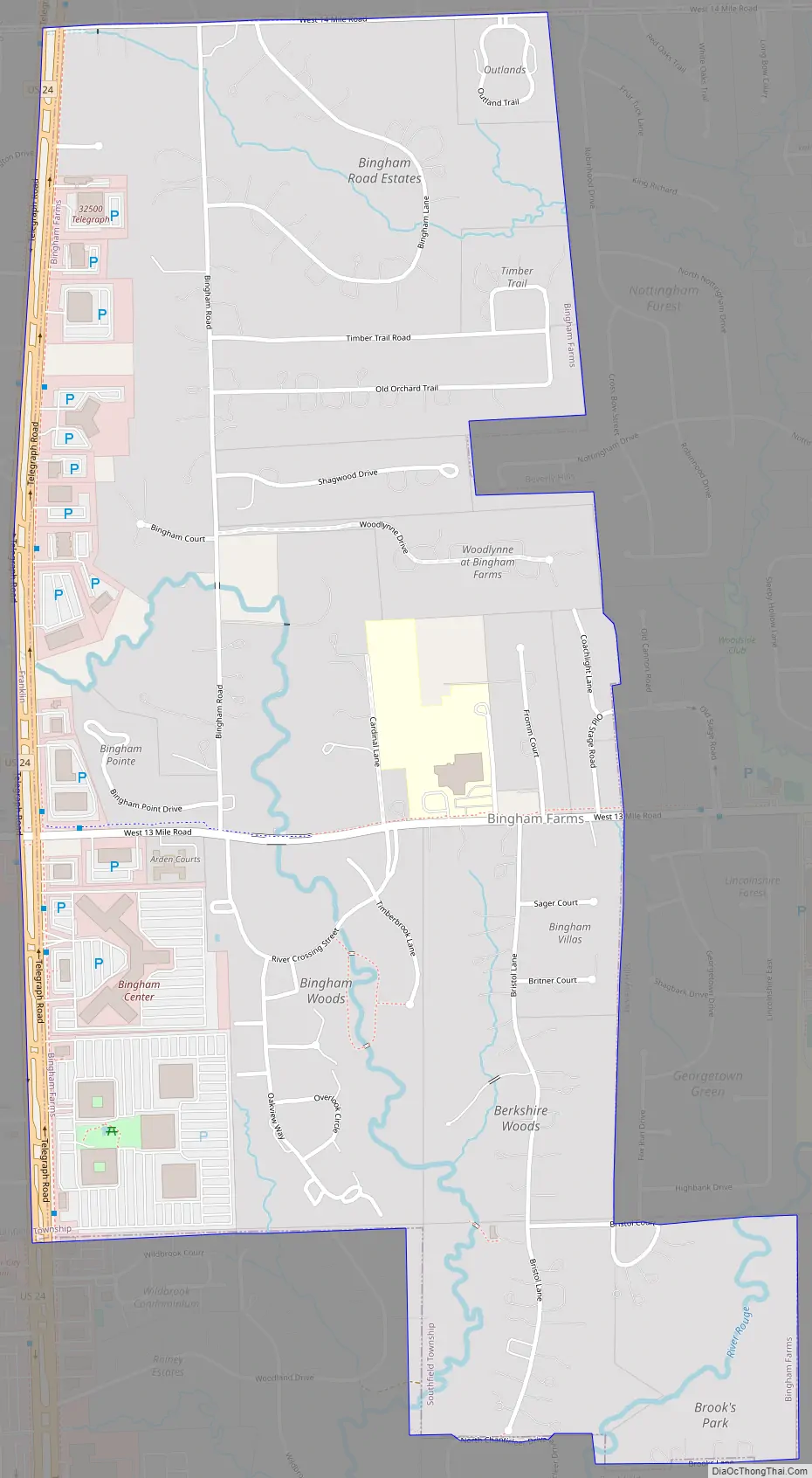
Bingham Farms Road Map
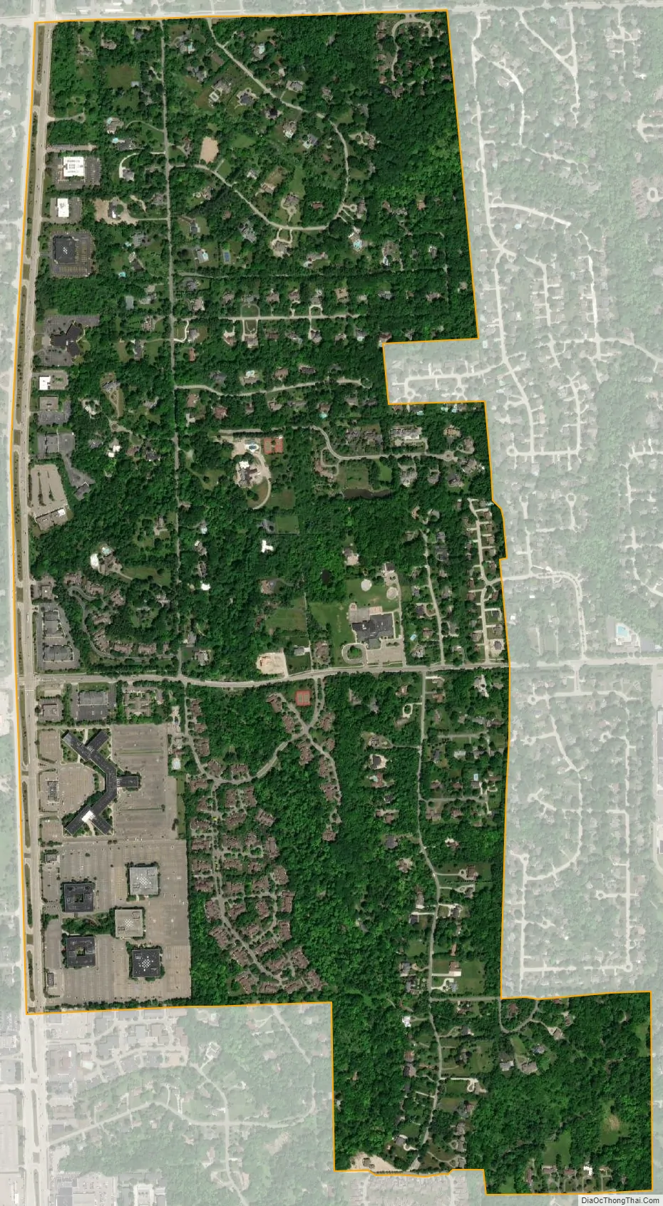
Bingham Farms city Satellite Map
Geography
According to the United States Census Bureau, the village has a total area of 1.21 square miles (3.13 km), all land.
See also
Map of Michigan State and its subdivision:- Alcona
- Alger
- Allegan
- Alpena
- Antrim
- Arenac
- Baraga
- Barry
- Bay
- Benzie
- Berrien
- Branch
- Calhoun
- Cass
- Charlevoix
- Cheboygan
- Chippewa
- Clare
- Clinton
- Crawford
- Delta
- Dickinson
- Eaton
- Emmet
- Genesee
- Gladwin
- Gogebic
- Grand Traverse
- Gratiot
- Hillsdale
- Houghton
- Huron
- Ingham
- Ionia
- Iosco
- Iron
- Isabella
- Jackson
- Kalamazoo
- Kalkaska
- Kent
- Keweenaw
- Lake
- Lake Hurron
- Lake Michigan
- Lake St. Clair
- Lake Superior
- Lapeer
- Leelanau
- Lenawee
- Livingston
- Luce
- Mackinac
- Macomb
- Manistee
- Marquette
- Mason
- Mecosta
- Menominee
- Midland
- Missaukee
- Monroe
- Montcalm
- Montmorency
- Muskegon
- Newaygo
- Oakland
- Oceana
- Ogemaw
- Ontonagon
- Osceola
- Oscoda
- Otsego
- Ottawa
- Presque Isle
- Roscommon
- Saginaw
- Saint Clair
- Saint Joseph
- Sanilac
- Schoolcraft
- Shiawassee
- Tuscola
- Van Buren
- Washtenaw
- Wayne
- Wexford
- Alabama
- Alaska
- Arizona
- Arkansas
- California
- Colorado
- Connecticut
- Delaware
- District of Columbia
- Florida
- Georgia
- Hawaii
- Idaho
- Illinois
- Indiana
- Iowa
- Kansas
- Kentucky
- Louisiana
- Maine
- Maryland
- Massachusetts
- Michigan
- Minnesota
- Mississippi
- Missouri
- Montana
- Nebraska
- Nevada
- New Hampshire
- New Jersey
- New Mexico
- New York
- North Carolina
- North Dakota
- Ohio
- Oklahoma
- Oregon
- Pennsylvania
- Rhode Island
- South Carolina
- South Dakota
- Tennessee
- Texas
- Utah
- Vermont
- Virginia
- Washington
- West Virginia
- Wisconsin
- Wyoming


