Auburn Hills is a city in Oakland County in the U.S. state of Michigan. The population was 24,360 at the 2020 census. Before incorporating as a city in 1983, the area was part of the now-defunct Pontiac Township. It is home to Oakland University and the U.S. headquarters of Stellantis, BorgWarner and Volkswagen. The city is a northern suburb of Metro Detroit and is around 34 miles (55 km) north of the city of Detroit.
| Name: | Auburn Hills city |
|---|---|
| LSAD Code: | 25 |
| LSAD Description: | city (suffix) |
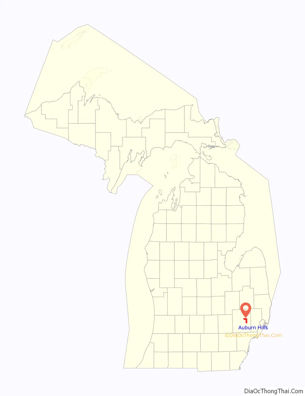
| State: | Michigan |
| County: | Oakland County |
| Incorporated: | 1983 |
| Elevation: | 961 ft (293 m) |
| Land Area: | 16.64 sq mi (43.10 km²) |
| Water Area: | 0.04 sq mi (0.11 km²) |
| Population Density: | 1,464.03/sq mi (565.26/km²) |
| FIPS code: | 2604105 |
| GNISfeature ID: | 1675443 |
Online Interactive Map
Click on ![]() to view map in "full screen" mode.
to view map in "full screen" mode.
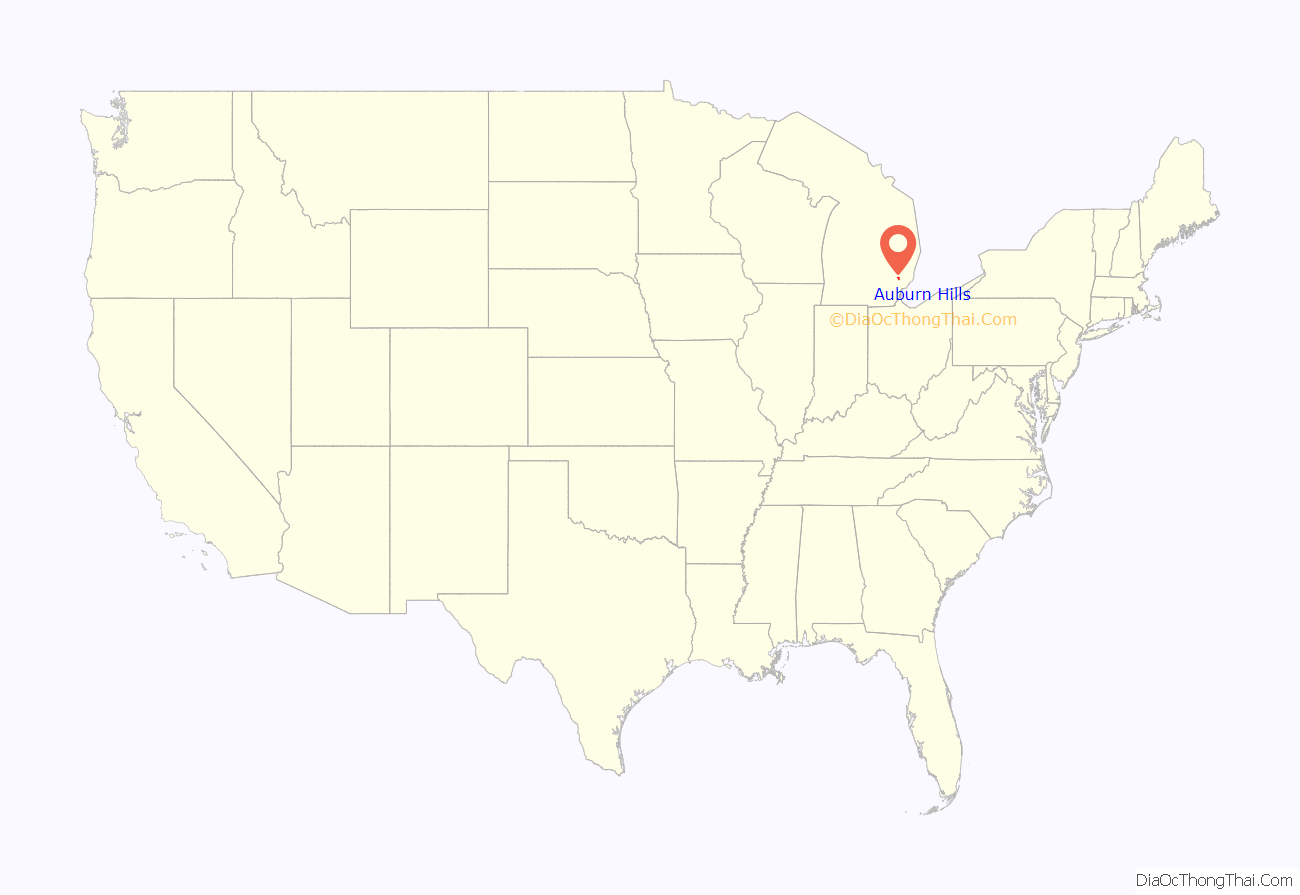
Auburn Hills location map. Where is Auburn Hills city?
History
In 1908, automobile pioneer John Dodge bought a farmhouse 3 miles (4.8 km) northeast of Auburn Heights to use as his country retreat. His oldest child, Winifred Dodge, married real estate baron Wesson Seyburn, who built his own country retreat 2.5 miles (4.0 km) north of Auburn Heights. The estate included hunting land, dog kennels, a swimming pool, horse stables, and a 5,000-square-foot (460 m) Colonial Revival house. Pontiac Township purchased the estate in 1976, and adapted the buildings for government use. Today, it is known as the Auburn Hills Civic Center.
The first use of the name “Auburn Hills,” in 1964, was by Oakland Community College. They named their campus (a former Nike missile base) at Featherstone and Squirrel roads for the town and the hilly terrain in the area. Besides Oakland Community College, three other colleges, Oakland University, Baker College, and Western Michigan University Thomas M. Cooley Law School have campuses partially within the city limits.
Incorporation history
Auburn Hills began as Pontiac Township, including the village of Auburn, in 1821, at what is today the corner of Auburn and Squirrel roads. Situated on the Clinton River, it was named by Aaron Webster, the first settler, for Auburn, New York. His sawmill and grist mill attracted settlers to Auburn. After the streets were laid out in 1826, Auburn rivaled nearby Pontiac until the 1860s, when it lost its own prosperity. The town was renamed Amy in 1880, and it officially became Auburn Heights in 1919. Pontiac Township bordered the city of Pontiac on two sides. The township attempted to incorporate as Pontiac Heights in 1971, but was denied by state officials. Pontiac Township became a charter township in 1978, to protect itself from further annexation. In 1983, Pontiac Township merged with the village of Auburn Heights to become the City of Auburn Hills. It is not to be confused with the similarly named city of Auburn, Michigan, that exists in Bay County, near Saginaw Bay.
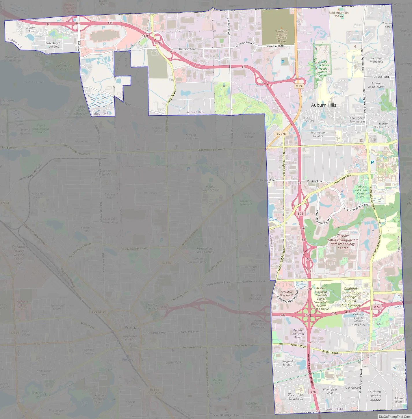
Auburn Hills Road Map
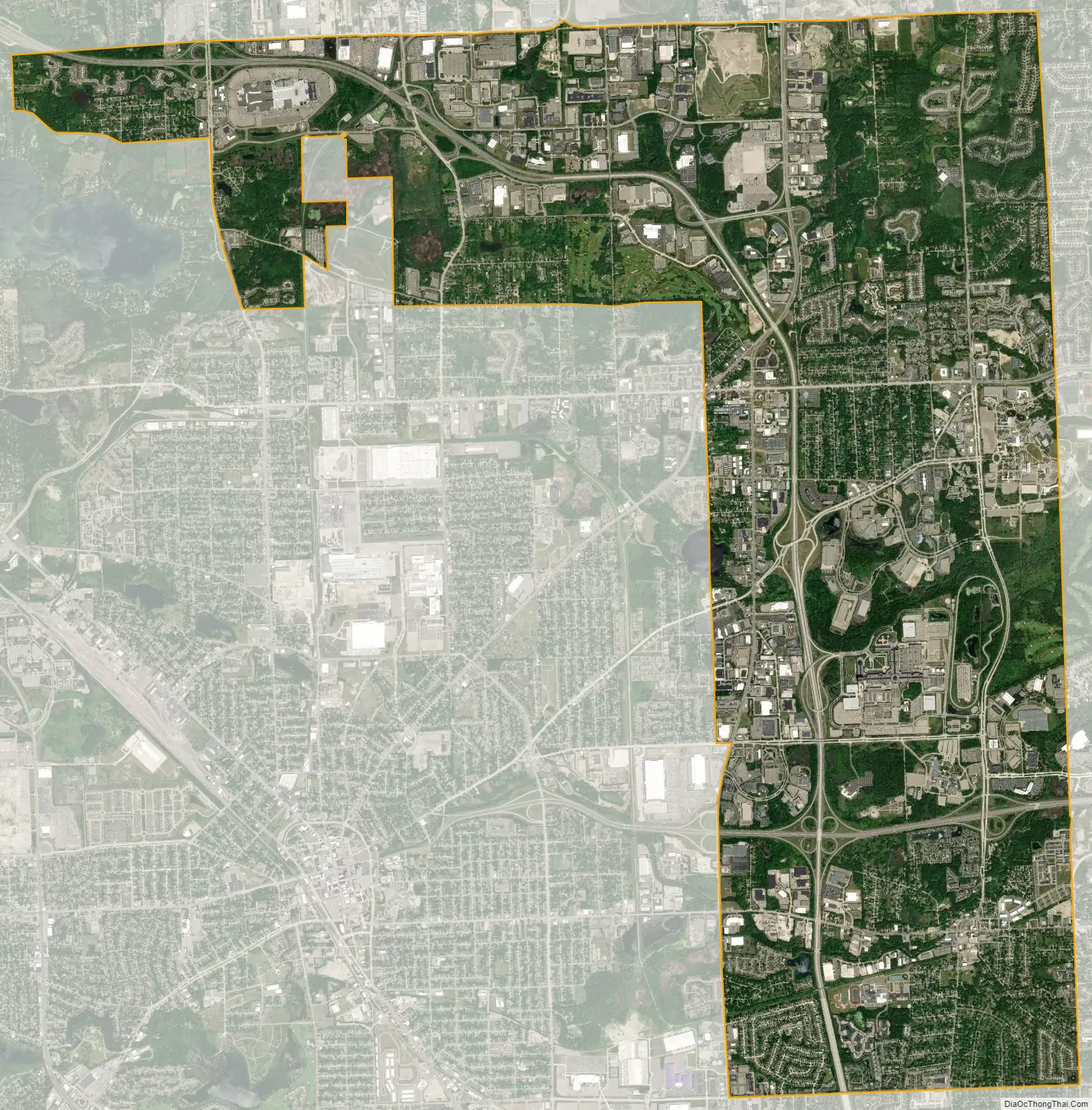
Auburn Hills city Satellite Map
Geography
According to the United States Census Bureau, the city has a total area of 16.64 square miles (43.10 km), of which 16.60 square miles (42.99 km) is land and 0.04 square miles (0.10 km) (0.24%) is water.
See also
Map of Michigan State and its subdivision:- Alcona
- Alger
- Allegan
- Alpena
- Antrim
- Arenac
- Baraga
- Barry
- Bay
- Benzie
- Berrien
- Branch
- Calhoun
- Cass
- Charlevoix
- Cheboygan
- Chippewa
- Clare
- Clinton
- Crawford
- Delta
- Dickinson
- Eaton
- Emmet
- Genesee
- Gladwin
- Gogebic
- Grand Traverse
- Gratiot
- Hillsdale
- Houghton
- Huron
- Ingham
- Ionia
- Iosco
- Iron
- Isabella
- Jackson
- Kalamazoo
- Kalkaska
- Kent
- Keweenaw
- Lake
- Lake Hurron
- Lake Michigan
- Lake St. Clair
- Lake Superior
- Lapeer
- Leelanau
- Lenawee
- Livingston
- Luce
- Mackinac
- Macomb
- Manistee
- Marquette
- Mason
- Mecosta
- Menominee
- Midland
- Missaukee
- Monroe
- Montcalm
- Montmorency
- Muskegon
- Newaygo
- Oakland
- Oceana
- Ogemaw
- Ontonagon
- Osceola
- Oscoda
- Otsego
- Ottawa
- Presque Isle
- Roscommon
- Saginaw
- Saint Clair
- Saint Joseph
- Sanilac
- Schoolcraft
- Shiawassee
- Tuscola
- Van Buren
- Washtenaw
- Wayne
- Wexford
- Alabama
- Alaska
- Arizona
- Arkansas
- California
- Colorado
- Connecticut
- Delaware
- District of Columbia
- Florida
- Georgia
- Hawaii
- Idaho
- Illinois
- Indiana
- Iowa
- Kansas
- Kentucky
- Louisiana
- Maine
- Maryland
- Massachusetts
- Michigan
- Minnesota
- Mississippi
- Missouri
- Montana
- Nebraska
- Nevada
- New Hampshire
- New Jersey
- New Mexico
- New York
- North Carolina
- North Dakota
- Ohio
- Oklahoma
- Oregon
- Pennsylvania
- Rhode Island
- South Carolina
- South Dakota
- Tennessee
- Texas
- Utah
- Vermont
- Virginia
- Washington
- West Virginia
- Wisconsin
- Wyoming


