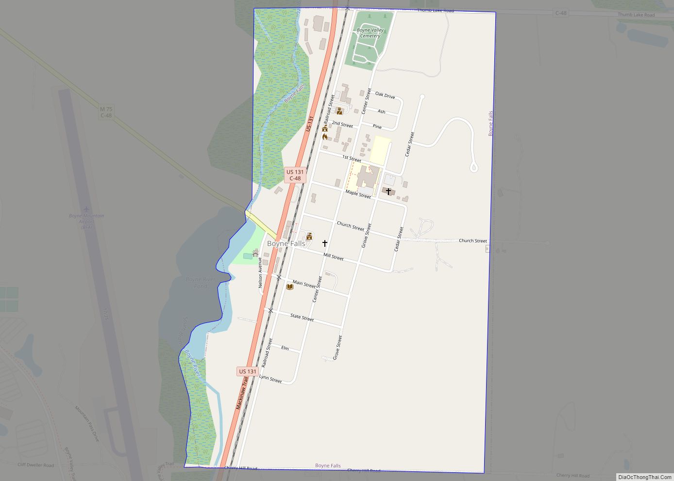
Boyne Falls is a village in Charlevoix County in the U.S. state of Michigan. The population was 358 at the 2020 census. The village is located within Boyne Valley Township.
| Name: | Boyne Falls village |
|---|---|
| LSAD Code: | 47 |
| LSAD Description: | village (suffix) |
| State: | Michigan |
| County: | Charlevoix County |
| Incorporated: | 1893 |
| Elevation: | 722 ft (220 m) |
| Total Area: | 0.57 sq mi (1.47 km²) |
| Land Area: | 0.56 sq mi (1.45 km²) |
| Water Area: | 0.01 sq mi (0.02 km²) |
| Total Population: | 358 |
| Population Density: | 637.01/sq mi (246.14/km²) |
| Area code: | 231 |
| FIPS code: | 2609840 |
| GNISfeature ID: | 2398158 |
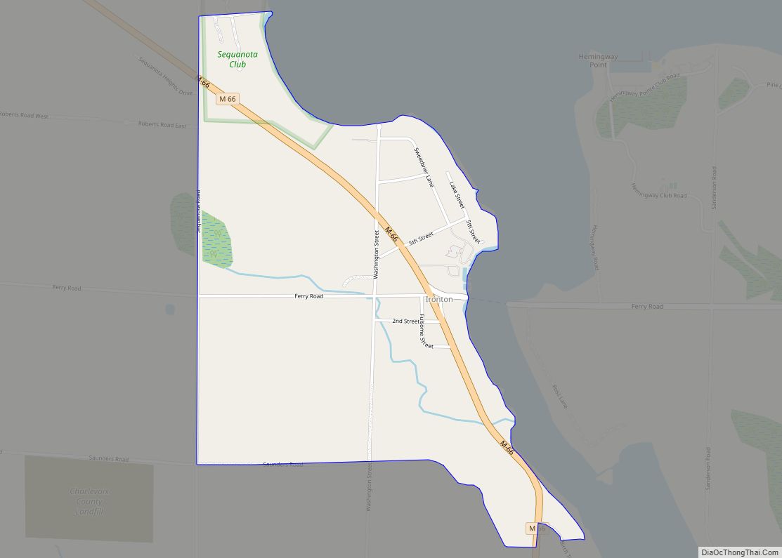
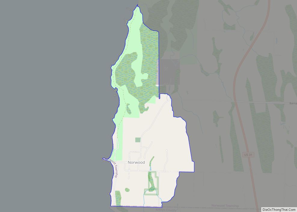
Online Interactive Map
Click on ![]() to view map in "full screen" mode.
to view map in "full screen" mode.
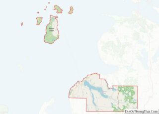
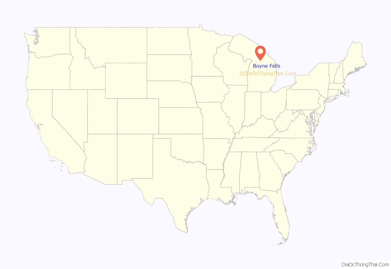
Boyne Falls location map. Where is Boyne Falls village?
History
Boyne Falls was first settled with the coming of the Grand Rapids and Indiana Railroad in 1874. In that year, A. D. Carpenter built the first store. A post office opened in Boyne Falls on September 5, 1874 with William Nelson serving as the first postmaster. The community was named by John Miller after the Boyne River, which has a nearby set of waterfalls. The name itself came from another river in Ireland. The community incorporated as a village in 1893.
The railway line is now operated by the Great Lakes Central Railroad, although the station in Boyne Falls has been closed since 1973.
The village is home to the Boyne Falls Polish Festival, which takes place in the first week of August. The 47th annual festival took place in 2022.
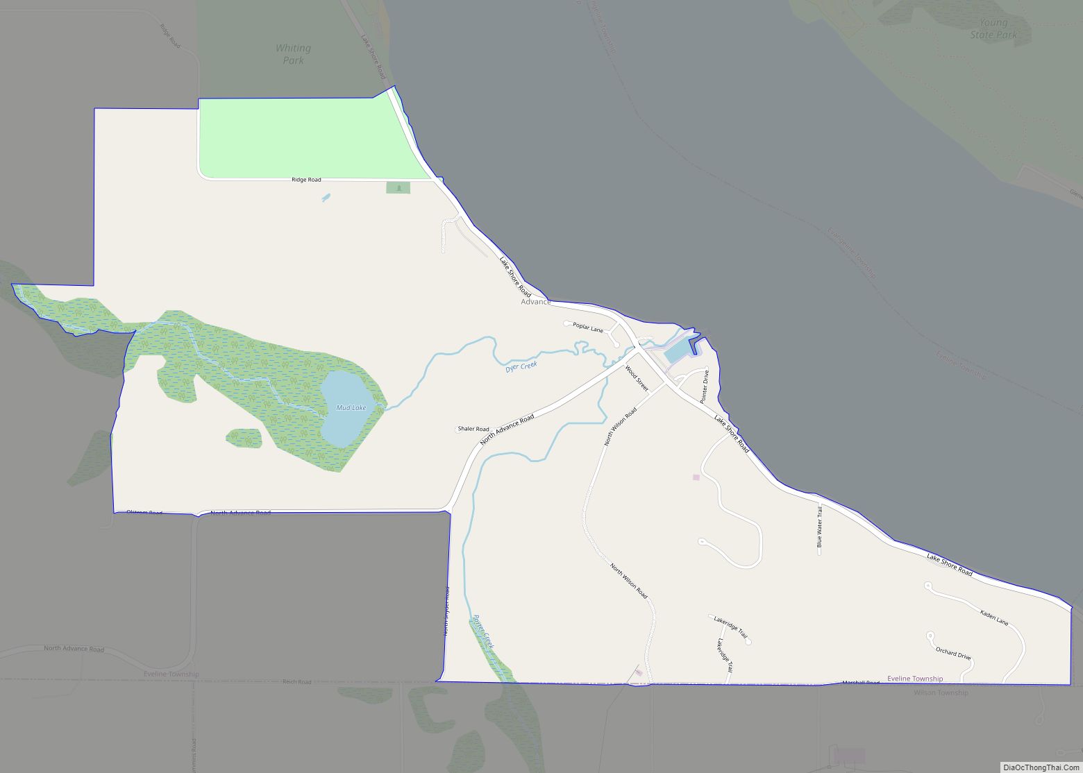
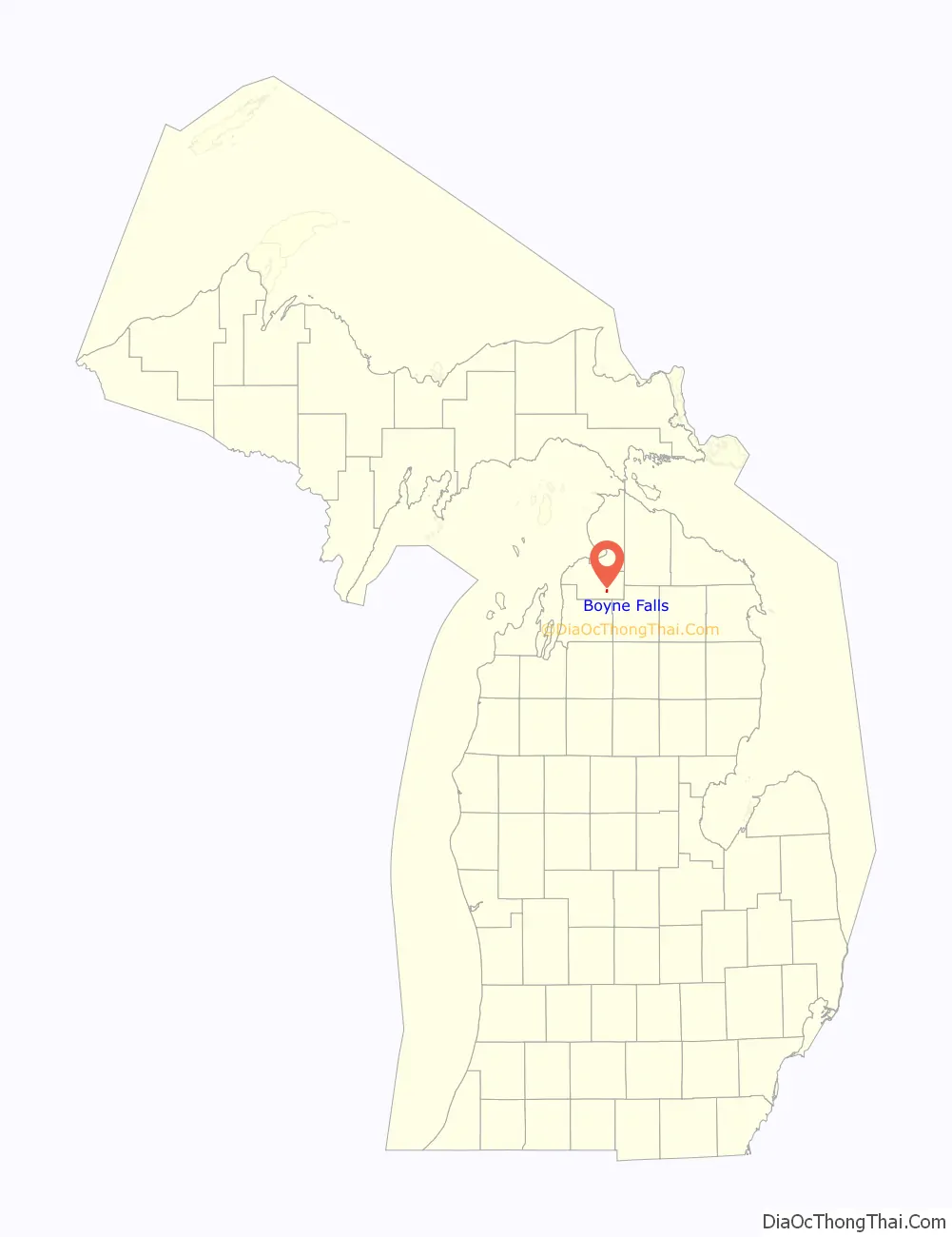
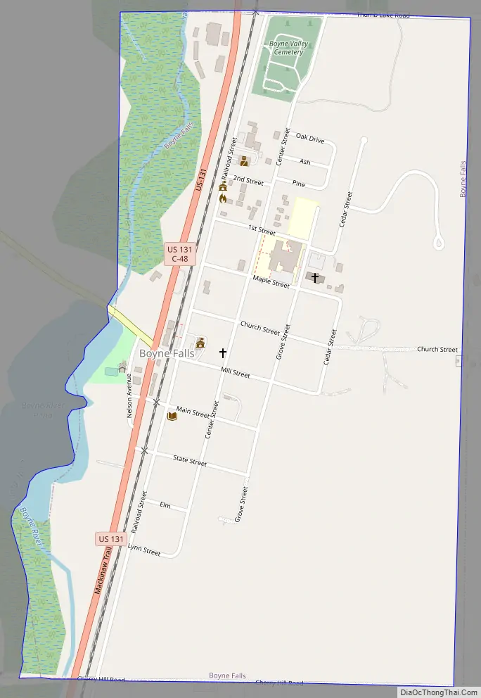
Boyne Falls Road Map
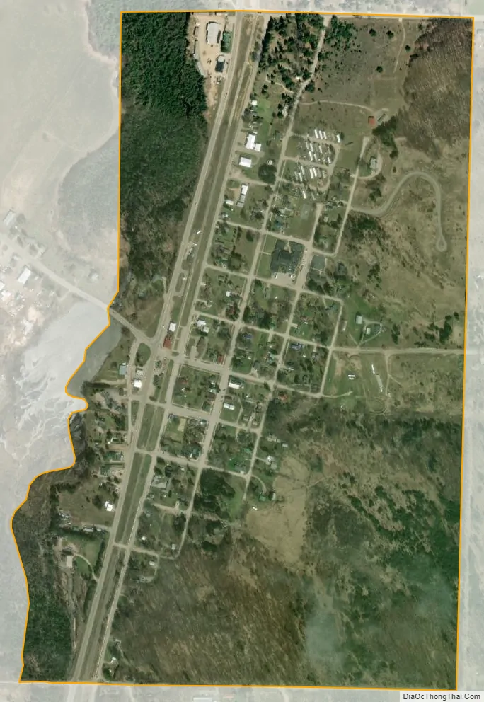
Boyne Falls city Satellite Map
Geography
According to the U.S. Census Bureau, the village has a total area of 0.57 square miles (1.48 km), of which 0.56 square miles (1.45 km) is land and 0.01 square miles (0.03 km) (1.75%) is water.
Boyne Mountain Resort is a ski area located just southeast of the village limits near Boyne Mountain Airport. The village is located along the Boyne River, near the junction of the river’s north and south branches.
Major highways
- US 131 runs south–north through the western portion of the village.
- M-75 enters the village briefly before having its southern terminus at US 131
- C-48 is county-designated highway that runs concurrently with M-75 and then US 131 before turning east along Thumb Lake Road at the northern border of the village.
Climate
This climatic region is typified by large seasonal temperature differences, with warm to hot (and often humid) summers and cold (sometimes severely cold) winters. According to the Köppen Climate Classification system, Boyne Falls has a humid continental climate, abbreviated “Dfb” on climate maps.
See also
Map of Michigan State and its subdivision:- Alcona
- Alger
- Allegan
- Alpena
- Antrim
- Arenac
- Baraga
- Barry
- Bay
- Benzie
- Berrien
- Branch
- Calhoun
- Cass
- Charlevoix
- Cheboygan
- Chippewa
- Clare
- Clinton
- Crawford
- Delta
- Dickinson
- Eaton
- Emmet
- Genesee
- Gladwin
- Gogebic
- Grand Traverse
- Gratiot
- Hillsdale
- Houghton
- Huron
- Ingham
- Ionia
- Iosco
- Iron
- Isabella
- Jackson
- Kalamazoo
- Kalkaska
- Kent
- Keweenaw
- Lake
- Lake Hurron
- Lake Michigan
- Lake St. Clair
- Lake Superior
- Lapeer
- Leelanau
- Lenawee
- Livingston
- Luce
- Mackinac
- Macomb
- Manistee
- Marquette
- Mason
- Mecosta
- Menominee
- Midland
- Missaukee
- Monroe
- Montcalm
- Montmorency
- Muskegon
- Newaygo
- Oakland
- Oceana
- Ogemaw
- Ontonagon
- Osceola
- Oscoda
- Otsego
- Ottawa
- Presque Isle
- Roscommon
- Saginaw
- Saint Clair
- Saint Joseph
- Sanilac
- Schoolcraft
- Shiawassee
- Tuscola
- Van Buren
- Washtenaw
- Wayne
- Wexford
- Alabama
- Alaska
- Arizona
- Arkansas
- California
- Colorado
- Connecticut
- Delaware
- District of Columbia
- Florida
- Georgia
- Hawaii
- Idaho
- Illinois
- Indiana
- Iowa
- Kansas
- Kentucky
- Louisiana
- Maine
- Maryland
- Massachusetts
- Michigan
- Minnesota
- Mississippi
- Missouri
- Montana
- Nebraska
- Nevada
- New Hampshire
- New Jersey
- New Mexico
- New York
- North Carolina
- North Dakota
- Ohio
- Oklahoma
- Oregon
- Pennsylvania
- Rhode Island
- South Carolina
- South Dakota
- Tennessee
- Texas
- Utah
- Vermont
- Virginia
- Washington
- West Virginia
- Wisconsin
- Wyoming