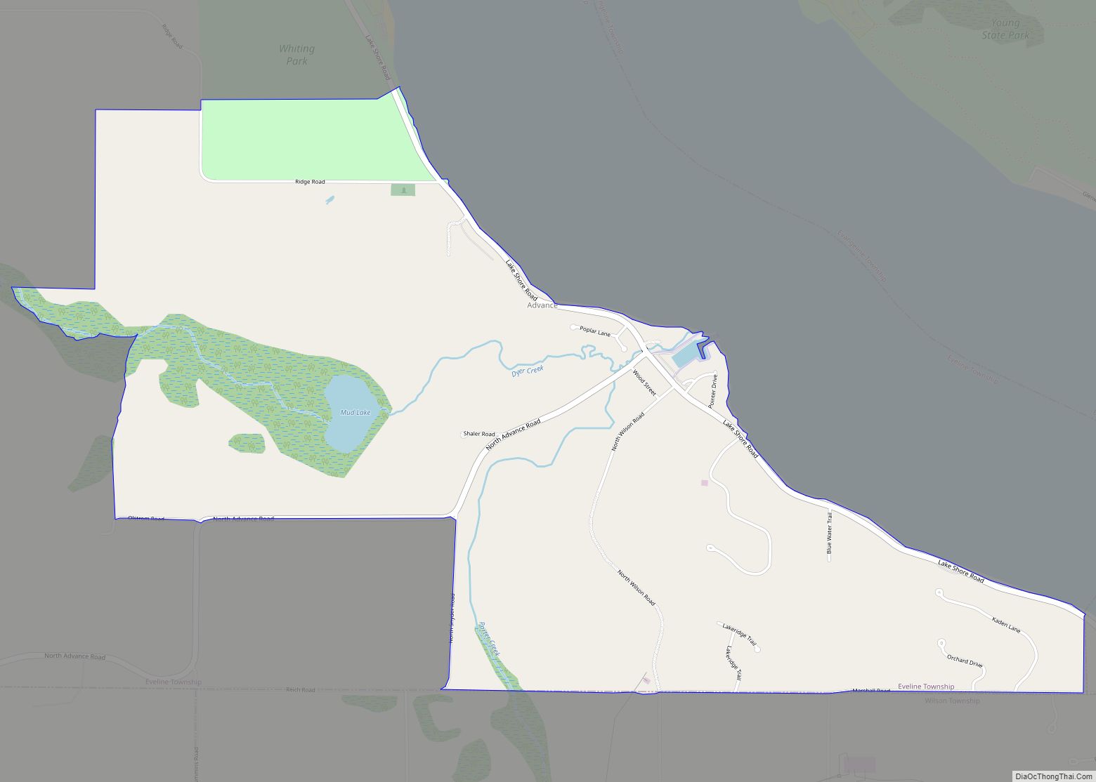
Horton Bay is an unincorporated community and census-designated place (CDP) in Charlevoix County in the U.S. state of Michigan. The population of the CDP was 485 at the 2020 census. The community is located within Bay Township on northeastern shores of Lake Charlevoix.
| Name: | Horton Bay CDP |
|---|---|
| LSAD Code: | 57 |
| LSAD Description: | CDP (suffix) |
| State: | Michigan |
| County: | Charlevoix County |
| Elevation: | 673 ft (205 m) |
| Total Area: | 6.17 sq mi (15.98 km²) |
| Land Area: | 4.82 sq mi (12.48 km²) |
| Water Area: | 1.35 sq mi (3.50 km²) |
| Total Population: | 485 |
| Population Density: | 100.62/sq mi (38.85/km²) |
| Area code: | 231 |
| FIPS code: | 2639340 |
| GNISfeature ID: | 1618908 |
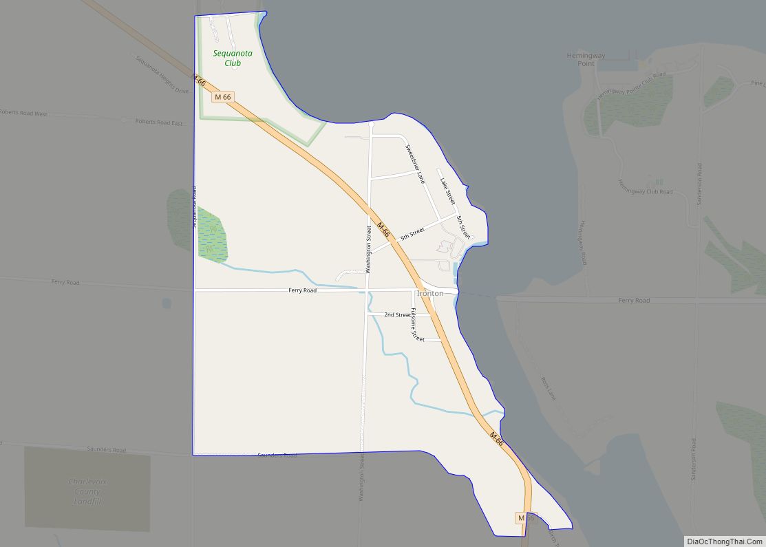
Online Interactive Map
Click on ![]() to view map in "full screen" mode.
to view map in "full screen" mode.
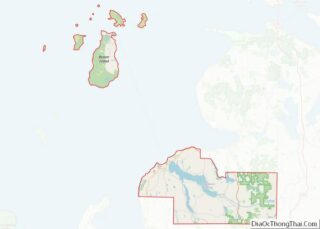
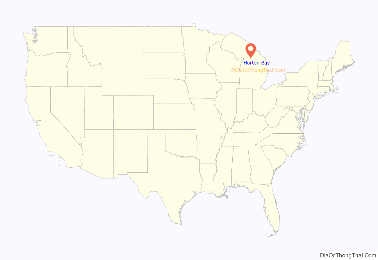
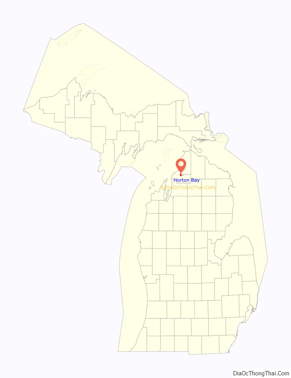
Horton Bay location map. Where is Horton Bay CDP?
History
The area was settled as early as 1876 by pioneer settled Samuel Horton in 1876 as a lumbering community. Located along Pine Lake (now known as Lake Charlevoix), the community was originally spelled as Horton’s Bay when a post office opened on February 27, 1879 with Alonzo Stroud serving as the first postmaster. The name was shortened to Horton Bay on October 12, 1894. The post office operated until January 15, 1910.
Ernest Hemingway frequently visited Horton Bay to camp and fish, and the area is the setting for several of his famous The Nick Adams Stories. Hemingway was married here in 1921.
Horton Bay was designated as a Michigan State Historic Site on November 12, 1975. The district includes several properties that are also listed on the National Register of Historic Places: Horton Bay General Store, Horton Bay School, and Red Fox Inn (Horton Bay House).
The community of Horton Bay was listed as a newly-organized census-designated place for the 2010 census, meaning it now has officially defined boundaries and population statistics for the first time.
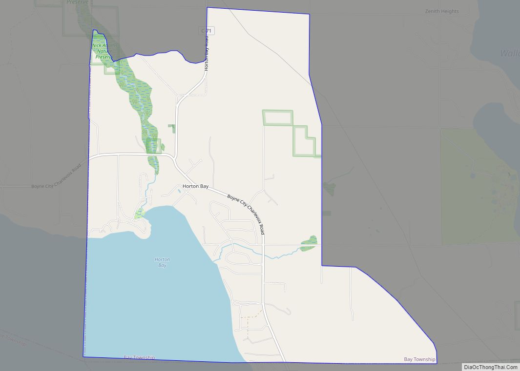
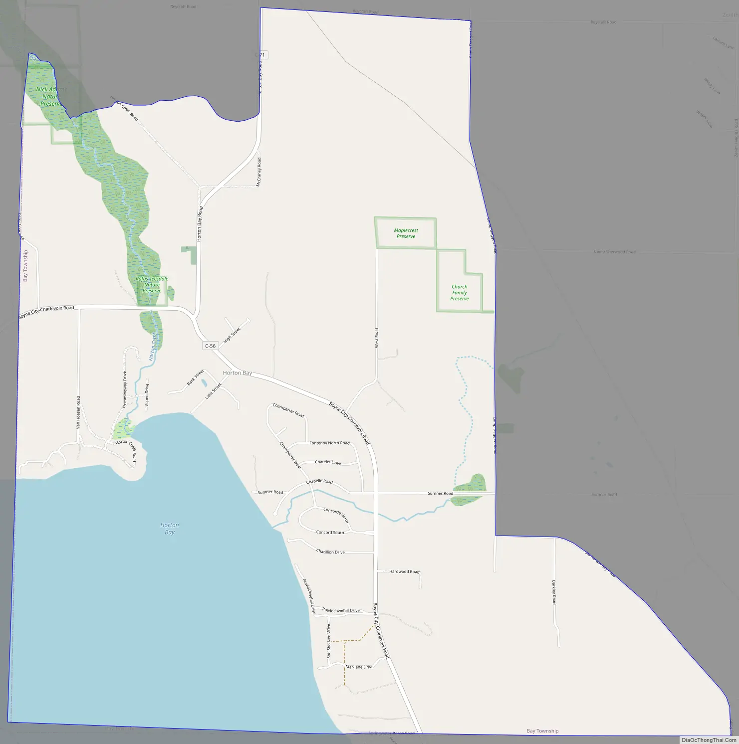
Horton Bay Road Map
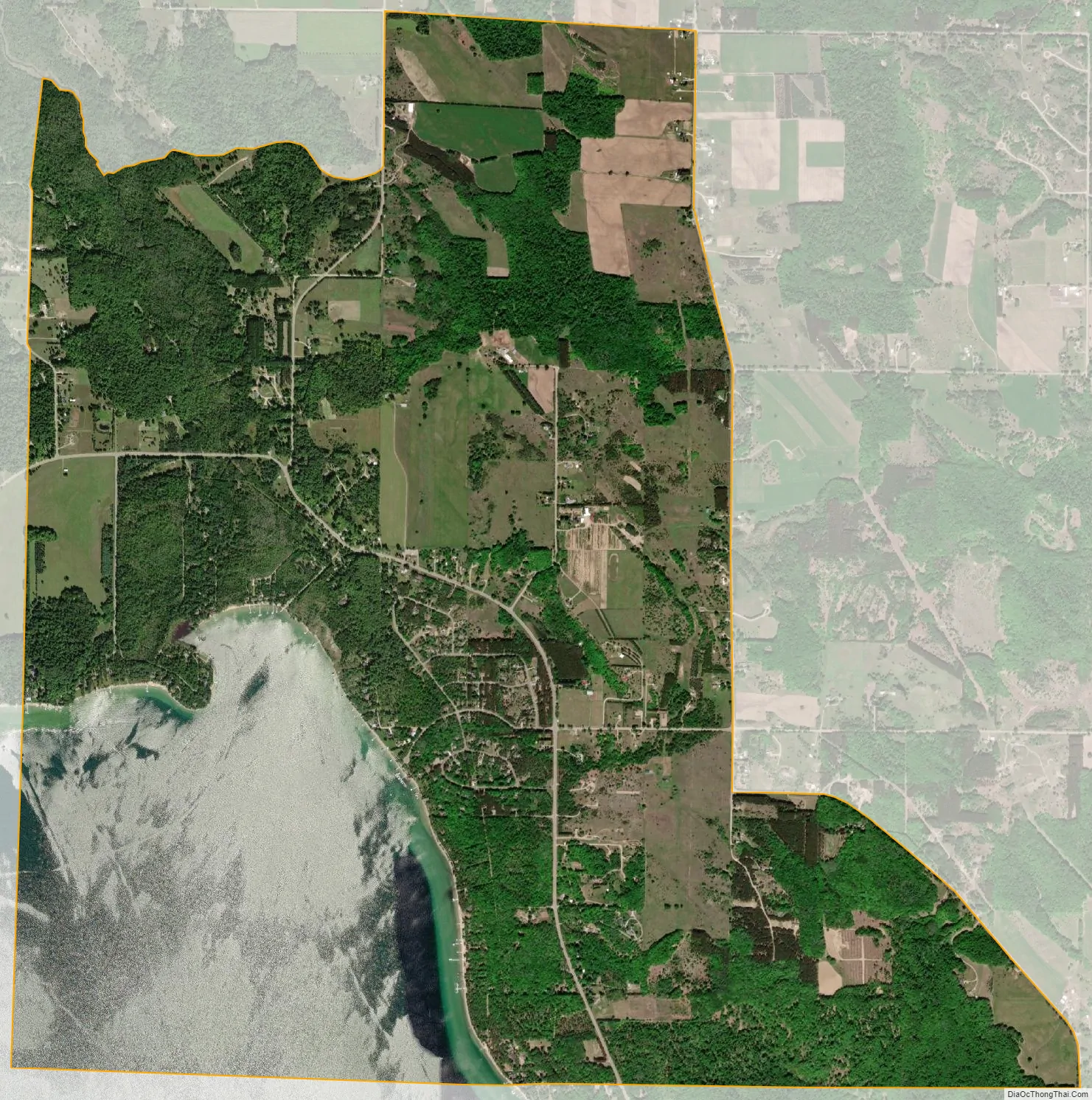
Horton Bay city Satellite Map
Geography
According to the U.S. Census Bureau, the Horton Bay CDP has a total area of 6.17 square miles (15.98 km), of which 4.82 square miles (12.48 km) is land and 1.35 square miles (3.50 km) (21.88%) is water.
Horton Bay is located along the northeastern coastline of Lake Charlevoix.
Major highways
- C-56 (Boyne City–Charlevoix Road) is a county-designated highway that runs through the community near the shores of Lake Charlevoix.
- C-71 (Horton Bay Road) is a county-designated highway that runs south into the community and ends at C-56.
See also
Map of Michigan State and its subdivision:- Alcona
- Alger
- Allegan
- Alpena
- Antrim
- Arenac
- Baraga
- Barry
- Bay
- Benzie
- Berrien
- Branch
- Calhoun
- Cass
- Charlevoix
- Cheboygan
- Chippewa
- Clare
- Clinton
- Crawford
- Delta
- Dickinson
- Eaton
- Emmet
- Genesee
- Gladwin
- Gogebic
- Grand Traverse
- Gratiot
- Hillsdale
- Houghton
- Huron
- Ingham
- Ionia
- Iosco
- Iron
- Isabella
- Jackson
- Kalamazoo
- Kalkaska
- Kent
- Keweenaw
- Lake
- Lake Hurron
- Lake Michigan
- Lake St. Clair
- Lake Superior
- Lapeer
- Leelanau
- Lenawee
- Livingston
- Luce
- Mackinac
- Macomb
- Manistee
- Marquette
- Mason
- Mecosta
- Menominee
- Midland
- Missaukee
- Monroe
- Montcalm
- Montmorency
- Muskegon
- Newaygo
- Oakland
- Oceana
- Ogemaw
- Ontonagon
- Osceola
- Oscoda
- Otsego
- Ottawa
- Presque Isle
- Roscommon
- Saginaw
- Saint Clair
- Saint Joseph
- Sanilac
- Schoolcraft
- Shiawassee
- Tuscola
- Van Buren
- Washtenaw
- Wayne
- Wexford
- Alabama
- Alaska
- Arizona
- Arkansas
- California
- Colorado
- Connecticut
- Delaware
- District of Columbia
- Florida
- Georgia
- Hawaii
- Idaho
- Illinois
- Indiana
- Iowa
- Kansas
- Kentucky
- Louisiana
- Maine
- Maryland
- Massachusetts
- Michigan
- Minnesota
- Mississippi
- Missouri
- Montana
- Nebraska
- Nevada
- New Hampshire
- New Jersey
- New Mexico
- New York
- North Carolina
- North Dakota
- Ohio
- Oklahoma
- Oregon
- Pennsylvania
- Rhode Island
- South Carolina
- South Dakota
- Tennessee
- Texas
- Utah
- Vermont
- Virginia
- Washington
- West Virginia
- Wisconsin
- Wyoming