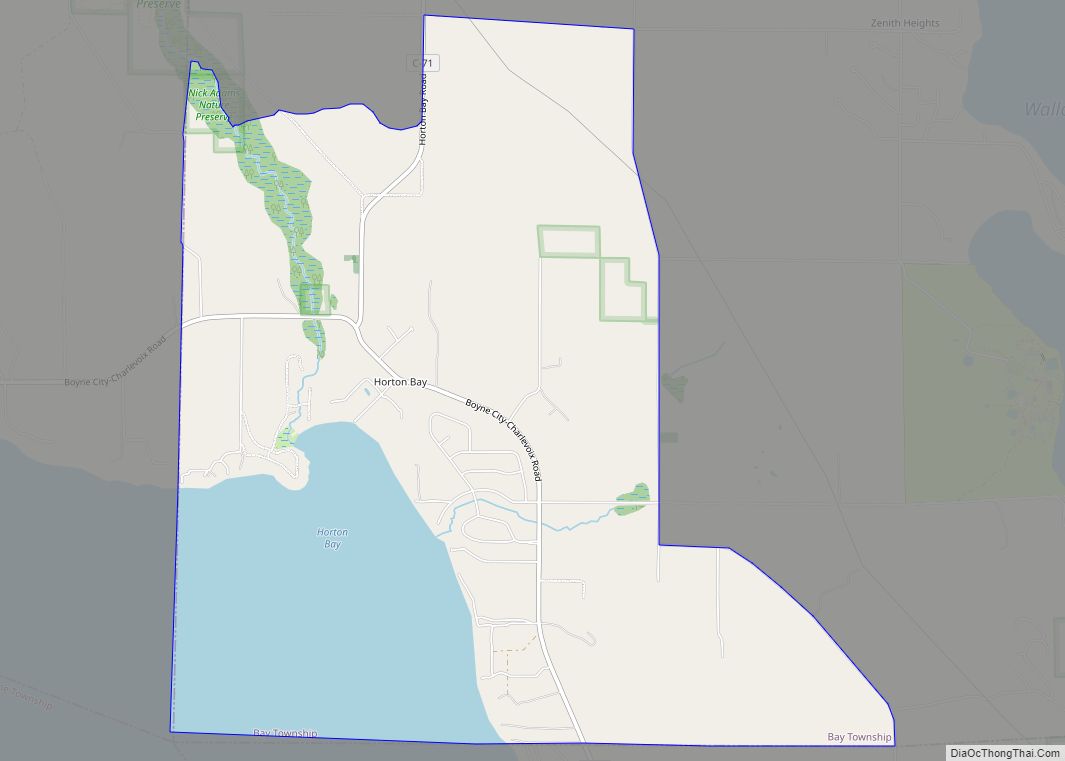
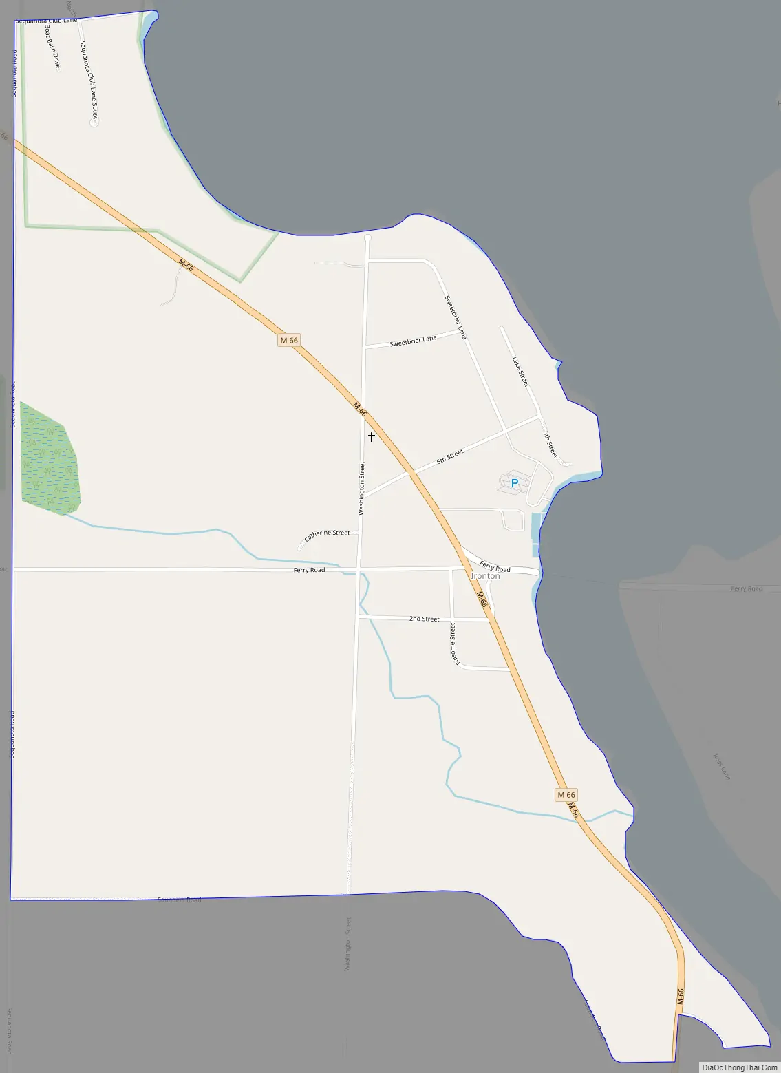
Ironton is an unincorporated community and census-designated place (CDP) in Charlevoix County in the U.S. state of Michigan. The population of the CDP was 148 at the 2020 census. It is located within Eveline Township on a narrow portion of Lake Charlevoix that is traversed by the Ironton Ferry.
| Name: | Ironton CDP |
|---|---|
| LSAD Code: | 57 |
| LSAD Description: | CDP (suffix) |
| State: | Michigan |
| County: | Charlevoix County |
| Elevation: | 620 ft (190 m) |
| Total Area: | 1.02 sq mi (2.65 km²) |
| Land Area: | 1.02 sq mi (2.65 km²) |
| Water Area: | 0.00 sq mi (0.00 km²) |
| Total Population: | 148 |
| Population Density: | 144.81/sq mi (55.91/km²) |
| Area code: | 231 |
| FIPS code: | 2641040 |
| GNISfeature ID: | 0629085 |
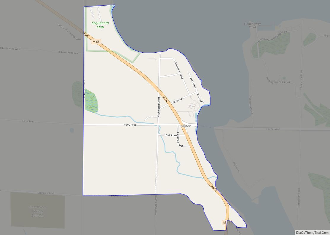
Online Interactive Map
Click on ![]() to view map in "full screen" mode.
to view map in "full screen" mode.
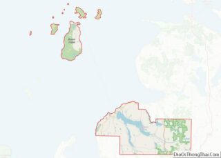
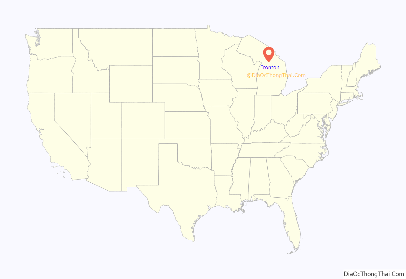
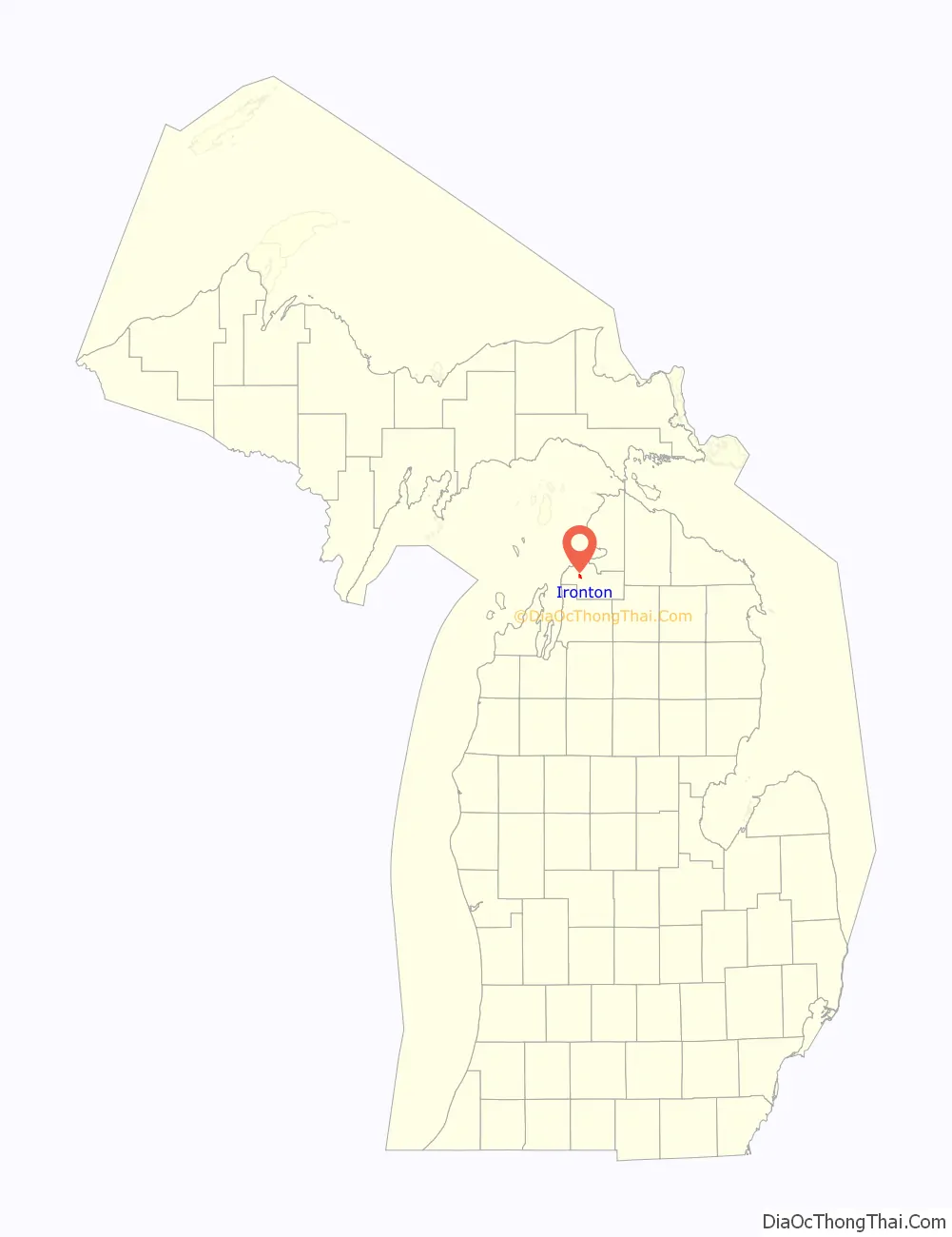
Ironton location map. Where is Ironton CDP?
History
In 1879, Robert Cherry settled here along the shores of Pine Lake (now known as Lake Charlevoix). Cherry worked for the Pine Lake Iron Company of Chicago and built a plant here that opened in 1881. The plant used iron ore brought in by barges from the Upper Peninsula and turned it into pig iron. A post office opened in Ironton on January 31, 1881, and the community was platted in 1884. The iron operation ultimately failed in 1893, but the community remained. The post office closed on December 30, 1965.
The community of Ironton was listed as a newly-organized census-designated place for the 2010 census, meaning it now has officially defined boundaries and population statistics for the first time.
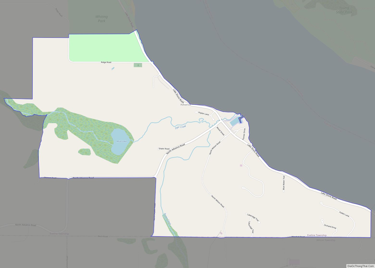
Ironton Road Map
Ironton city Satellite Map

Geography
According to the U.S. Census Bureau, the Ironton CDP has a total area of 1.02 square miles (2.64 km), all land.
Ironton is located in the western segment of Eveline Township, which is divided by Lake Charlevoix. The Ironton Ferry within the community connects the two segments of the township along a narrow stretch of the lake.
Major highways
- M-66 runs south–north through the community.
See also
Map of Michigan State and its subdivision:- Alcona
- Alger
- Allegan
- Alpena
- Antrim
- Arenac
- Baraga
- Barry
- Bay
- Benzie
- Berrien
- Branch
- Calhoun
- Cass
- Charlevoix
- Cheboygan
- Chippewa
- Clare
- Clinton
- Crawford
- Delta
- Dickinson
- Eaton
- Emmet
- Genesee
- Gladwin
- Gogebic
- Grand Traverse
- Gratiot
- Hillsdale
- Houghton
- Huron
- Ingham
- Ionia
- Iosco
- Iron
- Isabella
- Jackson
- Kalamazoo
- Kalkaska
- Kent
- Keweenaw
- Lake
- Lake Hurron
- Lake Michigan
- Lake St. Clair
- Lake Superior
- Lapeer
- Leelanau
- Lenawee
- Livingston
- Luce
- Mackinac
- Macomb
- Manistee
- Marquette
- Mason
- Mecosta
- Menominee
- Midland
- Missaukee
- Monroe
- Montcalm
- Montmorency
- Muskegon
- Newaygo
- Oakland
- Oceana
- Ogemaw
- Ontonagon
- Osceola
- Oscoda
- Otsego
- Ottawa
- Presque Isle
- Roscommon
- Saginaw
- Saint Clair
- Saint Joseph
- Sanilac
- Schoolcraft
- Shiawassee
- Tuscola
- Van Buren
- Washtenaw
- Wayne
- Wexford
- Alabama
- Alaska
- Arizona
- Arkansas
- California
- Colorado
- Connecticut
- Delaware
- District of Columbia
- Florida
- Georgia
- Hawaii
- Idaho
- Illinois
- Indiana
- Iowa
- Kansas
- Kentucky
- Louisiana
- Maine
- Maryland
- Massachusetts
- Michigan
- Minnesota
- Mississippi
- Missouri
- Montana
- Nebraska
- Nevada
- New Hampshire
- New Jersey
- New Mexico
- New York
- North Carolina
- North Dakota
- Ohio
- Oklahoma
- Oregon
- Pennsylvania
- Rhode Island
- South Carolina
- South Dakota
- Tennessee
- Texas
- Utah
- Vermont
- Virginia
- Washington
- West Virginia
- Wisconsin
- Wyoming