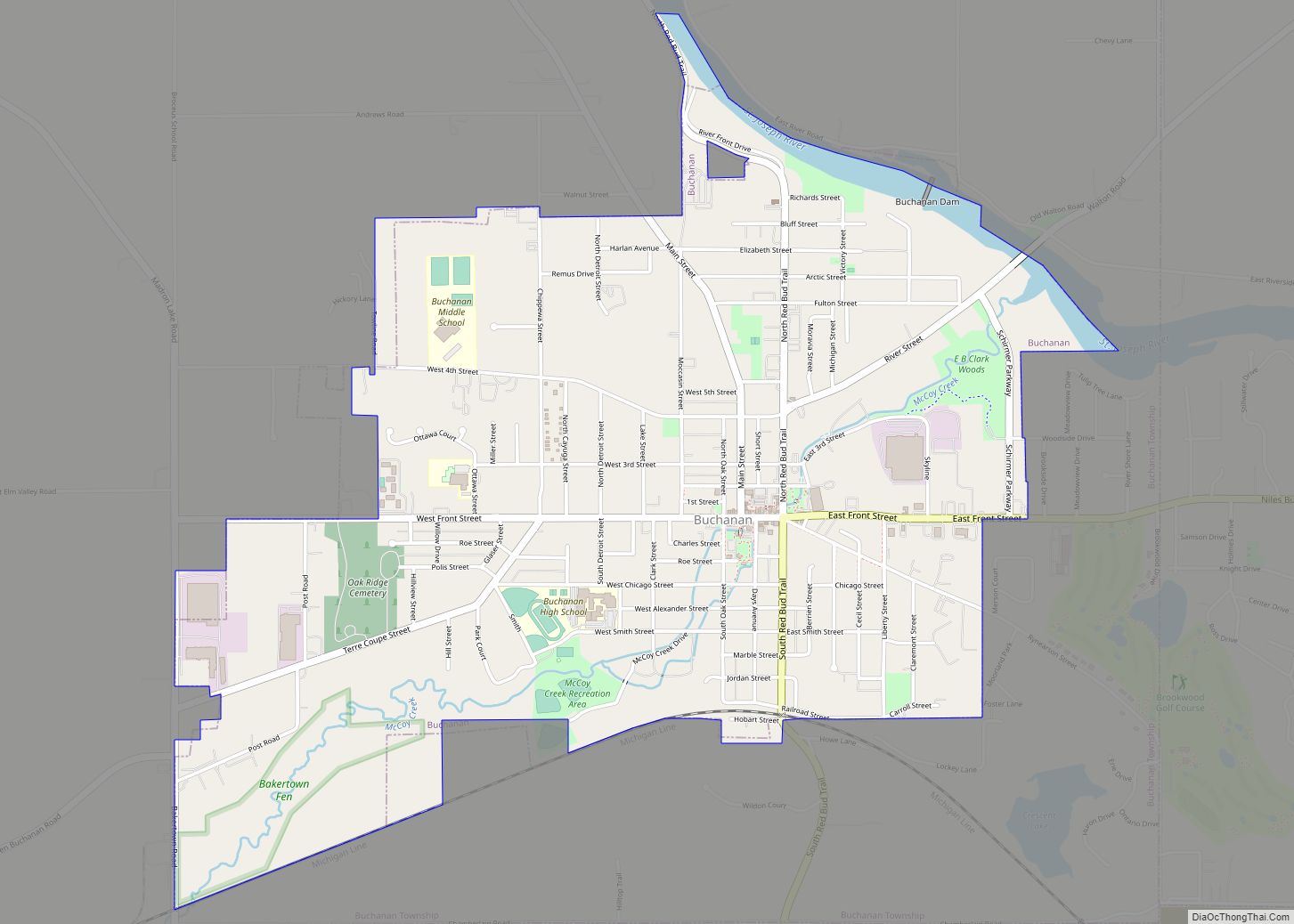
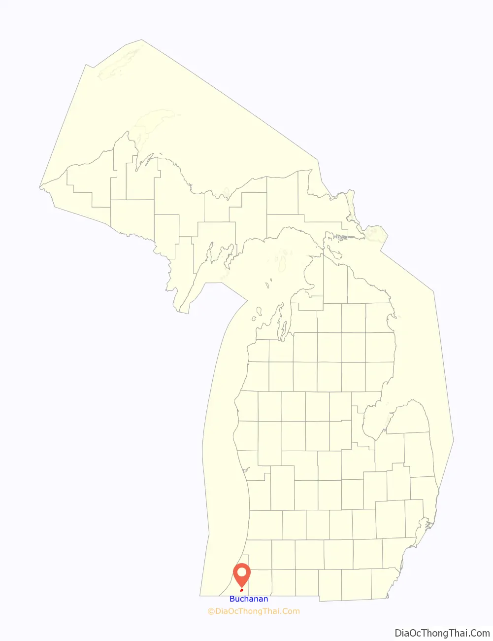
Buchanan is a city in Berrien County in the U.S. state of Michigan. The population was 4,456 at the 2010 census. The city is located at the southeast corner of Buchanan Township, about 5 miles (8.0 km) west of Niles.
| Name: | Buchanan city |
|---|---|
| LSAD Code: | 25 |
| LSAD Description: | city (suffix) |
| State: | Michigan |
| County: | Berrien County |
| Elevation: | 696 ft (212 m) |
| Total Area: | 2.59 sq mi (6.71 km²) |
| Land Area: | 2.52 sq mi (6.53 km²) |
| Water Area: | 0.07 sq mi (0.18 km²) |
| Total Population: | 4,300 |
| Population Density: | 1,705.00/sq mi (658.19/km²) |
| Area code: | 269 |
| FIPS code: | 2611400 |
| GNISfeature ID: | 1618891 |
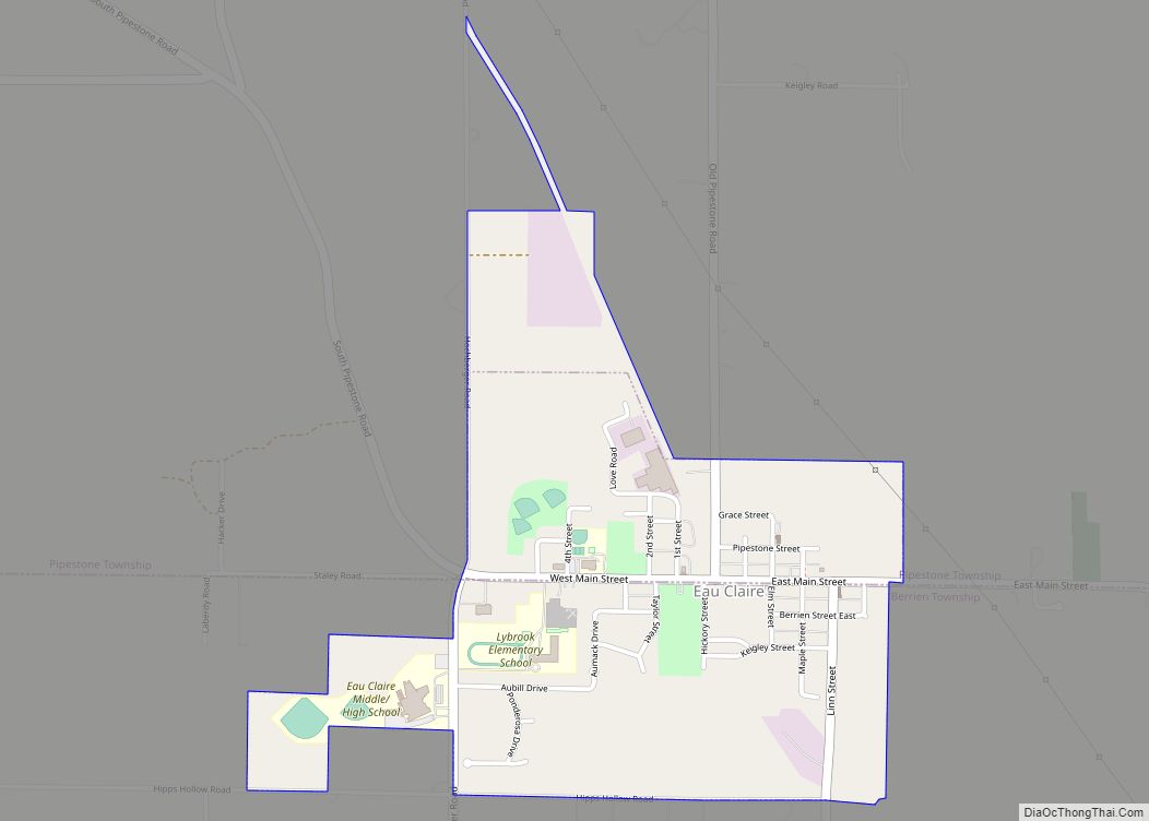
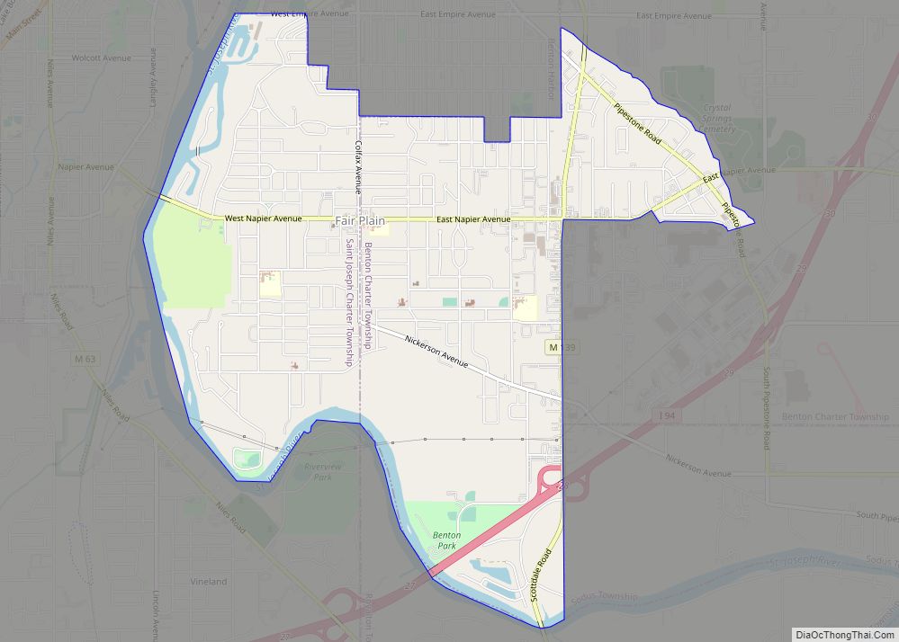
Online Interactive Map
Click on ![]() to view map in "full screen" mode.
to view map in "full screen" mode.
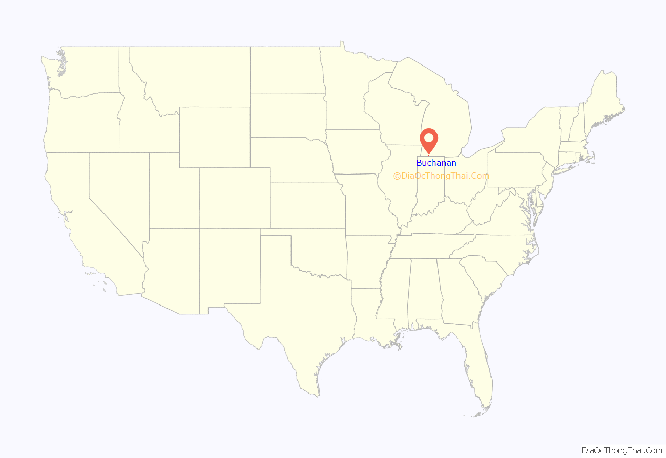
Buchanan location map. Where is Buchanan city?
History
The community was named after James Buchanan, the 15th President of the United States. Popularly known as “Redbud City” because of the many redbud trees that have historically lined city streets and the major approaches to the city, Buchanan has long been recognized as a Tree City USA by the National Arbor Day Foundation.
The area, already having been populated by Native Americans in places such as the Moccasin Bluff site, was first settled in 1833 at the spot where McCoy Creek meets the St. Joseph River. The village of Buchanan was platted in 1842 and incorporated in 1858.
In 1941, as part of the Section of Fine Arts arts projects, Gertrude Goodrich painted a mural, Production, in the Buchanan post office. Later painted over, it is in the process of being restored.
On April 12, 1979, farms, houses and mobile homes just north of the city were damaged by an F2 tornado. There were no deaths but several residences sustained significant damage.
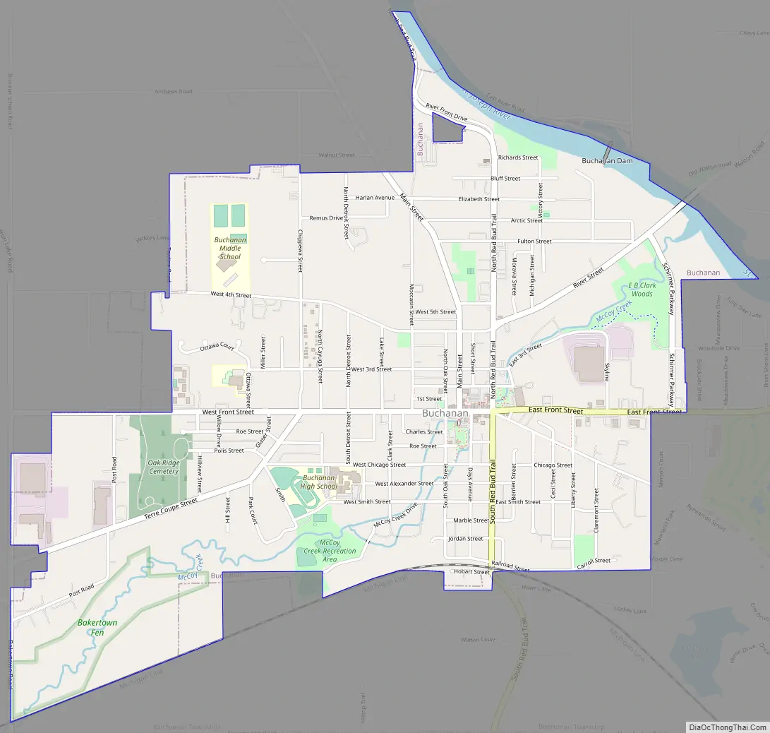
Buchanan Road Map
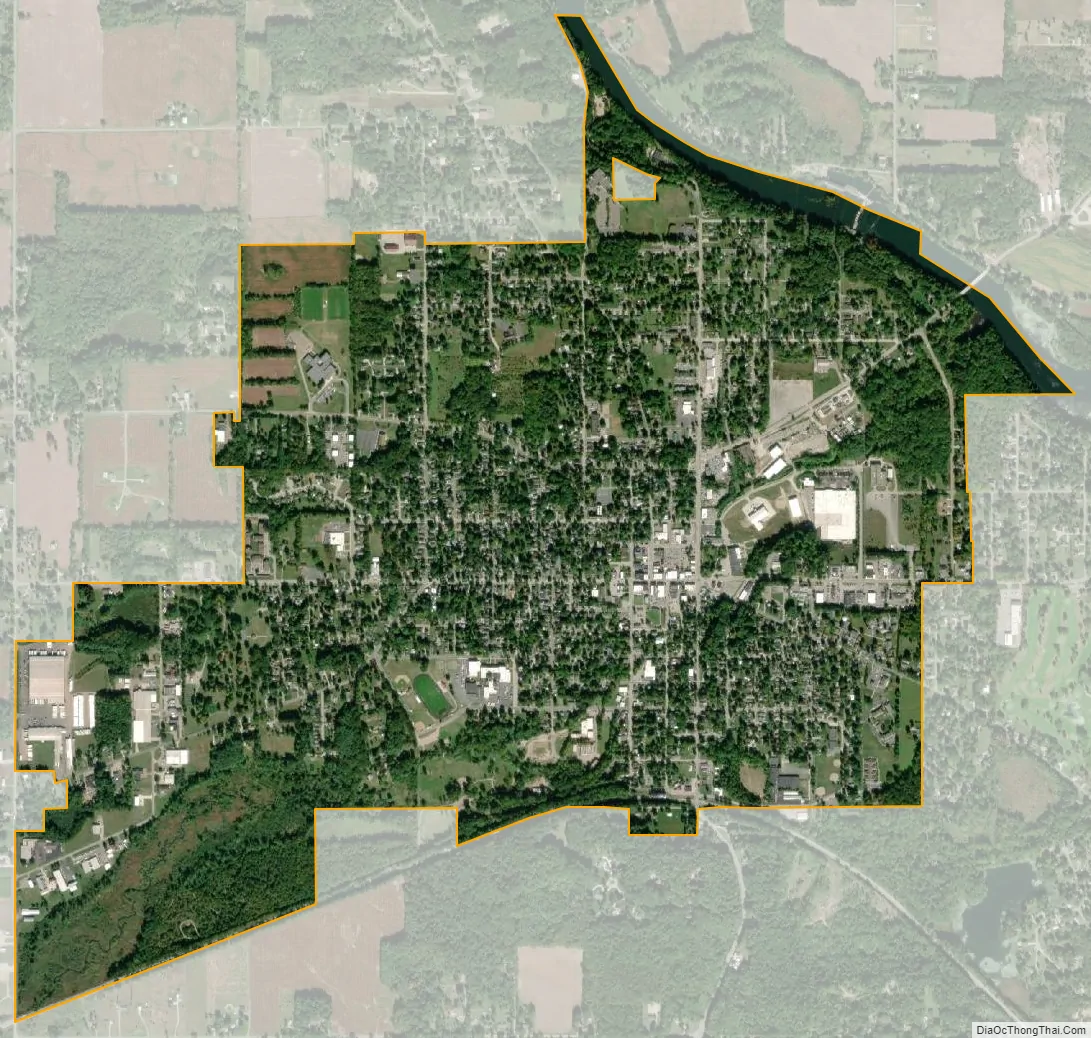
Buchanan city Satellite Map
Geography
According to the United States Census Bureau, the city has a total area of 2.57 square miles (6.66 km), of which 2.50 square miles (6.47 km) is land and 0.07 square miles (0.18 km) is water.
See also
Map of Michigan State and its subdivision:- Alcona
- Alger
- Allegan
- Alpena
- Antrim
- Arenac
- Baraga
- Barry
- Bay
- Benzie
- Berrien
- Branch
- Calhoun
- Cass
- Charlevoix
- Cheboygan
- Chippewa
- Clare
- Clinton
- Crawford
- Delta
- Dickinson
- Eaton
- Emmet
- Genesee
- Gladwin
- Gogebic
- Grand Traverse
- Gratiot
- Hillsdale
- Houghton
- Huron
- Ingham
- Ionia
- Iosco
- Iron
- Isabella
- Jackson
- Kalamazoo
- Kalkaska
- Kent
- Keweenaw
- Lake
- Lake Hurron
- Lake Michigan
- Lake St. Clair
- Lake Superior
- Lapeer
- Leelanau
- Lenawee
- Livingston
- Luce
- Mackinac
- Macomb
- Manistee
- Marquette
- Mason
- Mecosta
- Menominee
- Midland
- Missaukee
- Monroe
- Montcalm
- Montmorency
- Muskegon
- Newaygo
- Oakland
- Oceana
- Ogemaw
- Ontonagon
- Osceola
- Oscoda
- Otsego
- Ottawa
- Presque Isle
- Roscommon
- Saginaw
- Saint Clair
- Saint Joseph
- Sanilac
- Schoolcraft
- Shiawassee
- Tuscola
- Van Buren
- Washtenaw
- Wayne
- Wexford
- Alabama
- Alaska
- Arizona
- Arkansas
- California
- Colorado
- Connecticut
- Delaware
- District of Columbia
- Florida
- Georgia
- Hawaii
- Idaho
- Illinois
- Indiana
- Iowa
- Kansas
- Kentucky
- Louisiana
- Maine
- Maryland
- Massachusetts
- Michigan
- Minnesota
- Mississippi
- Missouri
- Montana
- Nebraska
- Nevada
- New Hampshire
- New Jersey
- New Mexico
- New York
- North Carolina
- North Dakota
- Ohio
- Oklahoma
- Oregon
- Pennsylvania
- Rhode Island
- South Carolina
- South Dakota
- Tennessee
- Texas
- Utah
- Vermont
- Virginia
- Washington
- West Virginia
- Wisconsin
- Wyoming