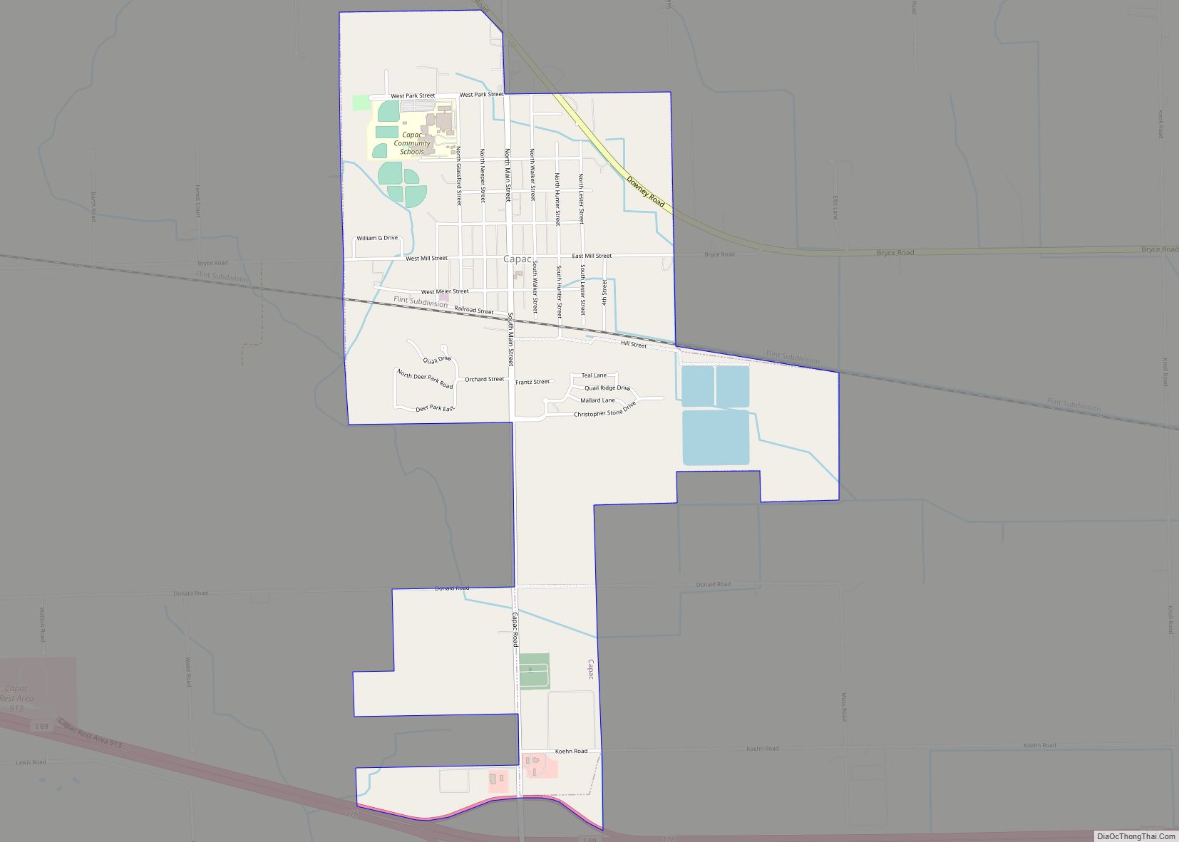
Capac is a village in Mussey Township, St. Clair County in the U.S. state of Michigan. The population was 1,890 at the 2010 census.
| Name: | Capac village |
|---|---|
| LSAD Code: | 47 |
| LSAD Description: | village (suffix) |
| State: | Michigan |
| County: | St. Clair County |
| Founded: | 1857 |
| Elevation: | 814 ft (248 m) |
| Total Area: | 1.91 sq mi (4.95 km²) |
| Land Area: | 1.86 sq mi (4.81 km²) |
| Water Area: | 0.05 sq mi (0.13 km²) |
| Total Population: | 1,983 |
| Population Density: | 1,067.28/sq mi (412.04/km²) |
| Area code: | 810 |
| FIPS code: | 2613140 |
| GNISfeature ID: | 1624440 |
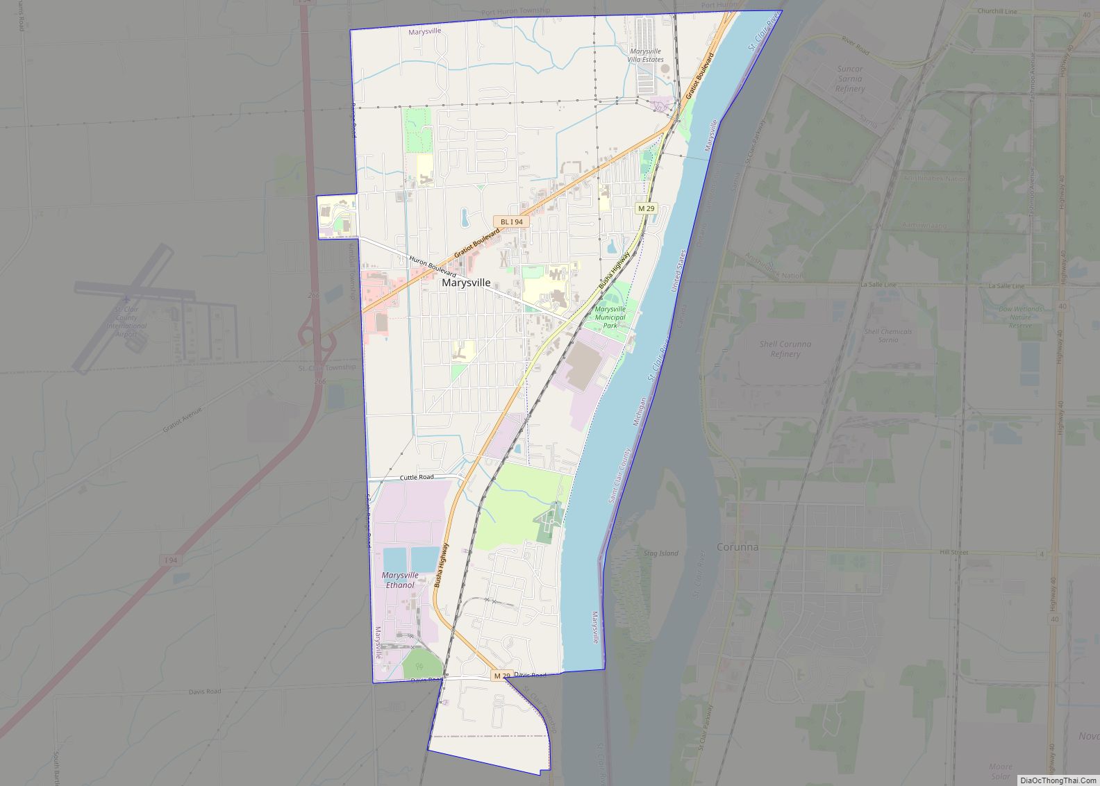
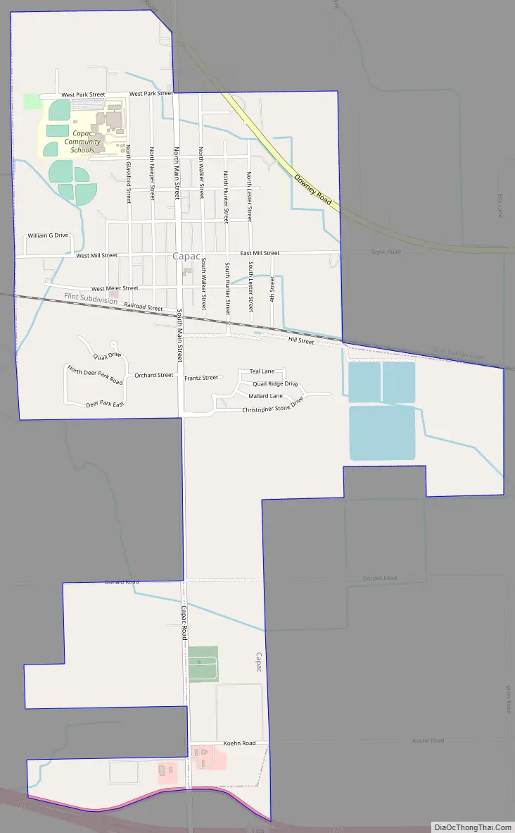
Online Interactive Map
Click on ![]() to view map in "full screen" mode.
to view map in "full screen" mode.
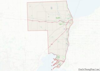
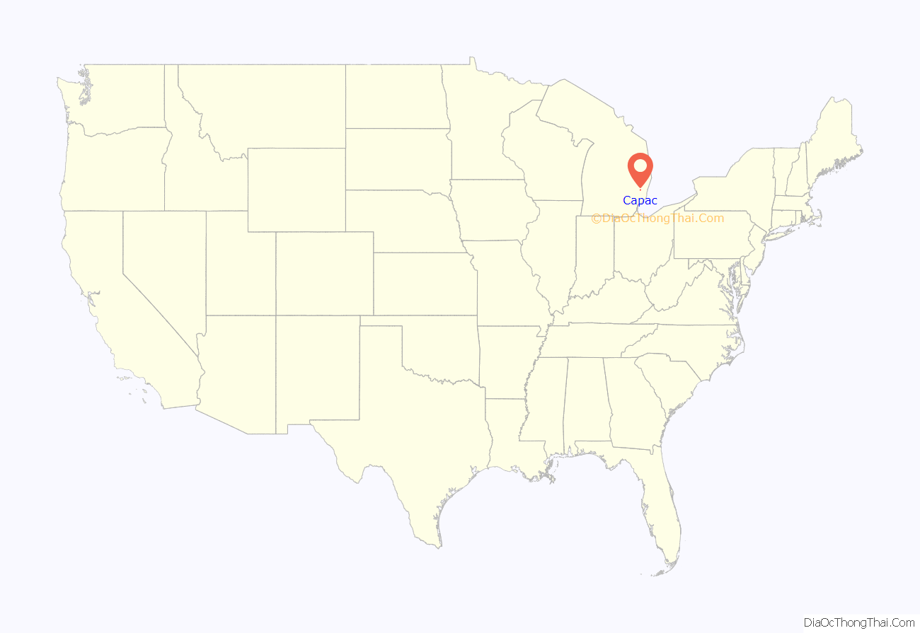
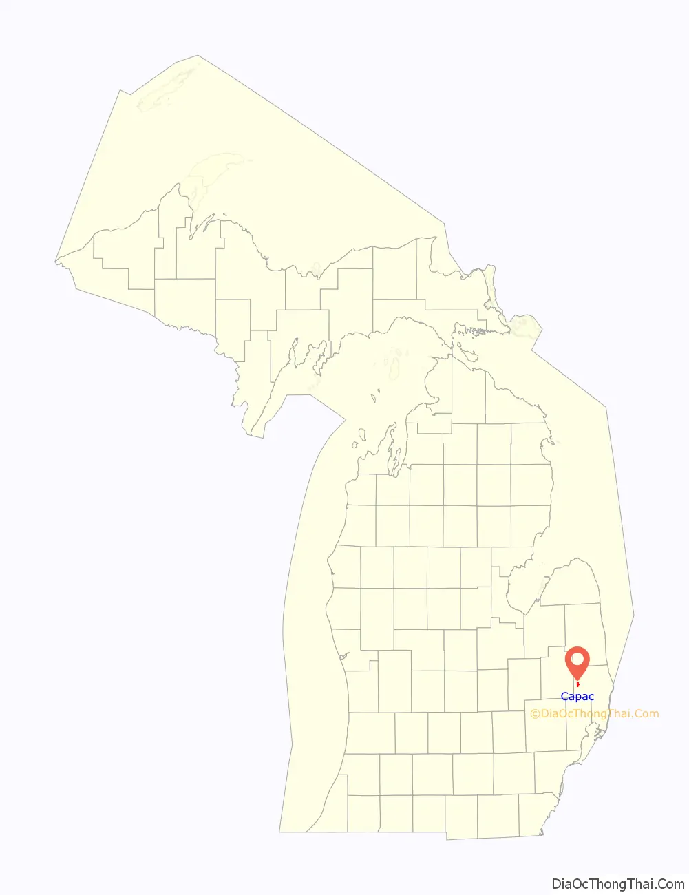
Capac location map. Where is Capac village?
History
Capac was founded and platted by a group of men from Romeo headed by George R. Funstan and Judge DeWitt C. Walker in 1857. The judge named it after Huayna Capac, Sapa Inca of the Inca Empire. A nearby post office named “Pinery” was transferred to and renamed “Capac” in January 1858. The Grand Trunk Railroad opened a station in 1866. Capac incorporated as a village in 1873.
Preston Tucker, designer of the 1948 Tucker Sedan, was born near Capac in 1903. Tucker is the subject of the 1988 movie Tucker: The Man and His Dream.
Roman Gribbs, mayor of Detroit from 1970 to 1974, was raised near Capac.
Capac Road Map
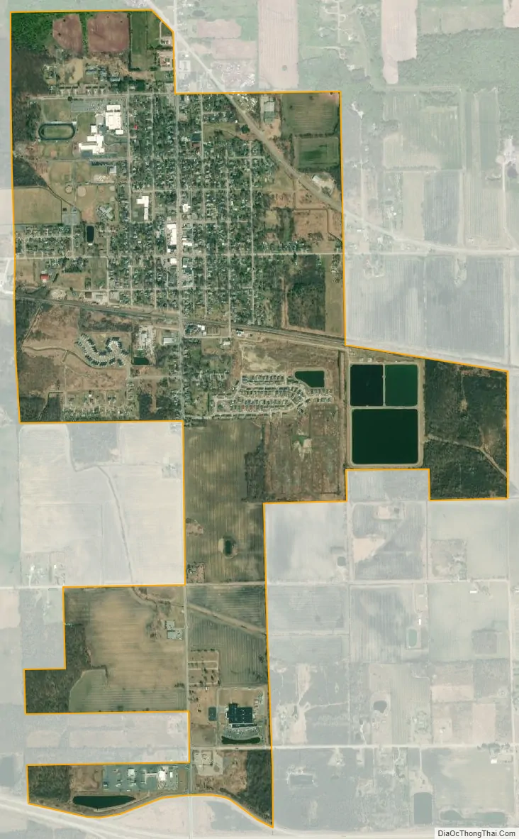
Capac city Satellite Map
Geography
According to the United States Census Bureau, the village has a total area of 1.88 square miles (4.87 km), of which 1.83 square miles (4.74 km) is land and 0.05 square miles (0.13 km) is water.
See also
Map of Michigan State and its subdivision:- Alcona
- Alger
- Allegan
- Alpena
- Antrim
- Arenac
- Baraga
- Barry
- Bay
- Benzie
- Berrien
- Branch
- Calhoun
- Cass
- Charlevoix
- Cheboygan
- Chippewa
- Clare
- Clinton
- Crawford
- Delta
- Dickinson
- Eaton
- Emmet
- Genesee
- Gladwin
- Gogebic
- Grand Traverse
- Gratiot
- Hillsdale
- Houghton
- Huron
- Ingham
- Ionia
- Iosco
- Iron
- Isabella
- Jackson
- Kalamazoo
- Kalkaska
- Kent
- Keweenaw
- Lake
- Lake Hurron
- Lake Michigan
- Lake St. Clair
- Lake Superior
- Lapeer
- Leelanau
- Lenawee
- Livingston
- Luce
- Mackinac
- Macomb
- Manistee
- Marquette
- Mason
- Mecosta
- Menominee
- Midland
- Missaukee
- Monroe
- Montcalm
- Montmorency
- Muskegon
- Newaygo
- Oakland
- Oceana
- Ogemaw
- Ontonagon
- Osceola
- Oscoda
- Otsego
- Ottawa
- Presque Isle
- Roscommon
- Saginaw
- Saint Clair
- Saint Joseph
- Sanilac
- Schoolcraft
- Shiawassee
- Tuscola
- Van Buren
- Washtenaw
- Wayne
- Wexford
- Alabama
- Alaska
- Arizona
- Arkansas
- California
- Colorado
- Connecticut
- Delaware
- District of Columbia
- Florida
- Georgia
- Hawaii
- Idaho
- Illinois
- Indiana
- Iowa
- Kansas
- Kentucky
- Louisiana
- Maine
- Maryland
- Massachusetts
- Michigan
- Minnesota
- Mississippi
- Missouri
- Montana
- Nebraska
- Nevada
- New Hampshire
- New Jersey
- New Mexico
- New York
- North Carolina
- North Dakota
- Ohio
- Oklahoma
- Oregon
- Pennsylvania
- Rhode Island
- South Carolina
- South Dakota
- Tennessee
- Texas
- Utah
- Vermont
- Virginia
- Washington
- West Virginia
- Wisconsin
- Wyoming