Carson City is a city in Montcalm County of the U.S. state of Michigan. The population was 1,093 at the 2010 census.
| Name: | Carson City city |
|---|---|
| LSAD Code: | 25 |
| LSAD Description: | city (suffix) |
| State: | Michigan |
| County: | Montcalm County |
| Elevation: | 761 ft (232 m) |
| Total Area: | 1.17 sq mi (3.04 km²) |
| Land Area: | 1.14 sq mi (2.96 km²) |
| Water Area: | 0.03 sq mi (0.08 km²) |
| Total Population: | 1,120 |
| Population Density: | 979.02/sq mi (378.16/km²) |
| ZIP code: | 48811 |
| Area code: | 989 |
| FIPS code: | 2613600 |
| GNISfeature ID: | 1626036 |
| Website: | www.carsoncitymi.com |
Online Interactive Map
Click on ![]() to view map in "full screen" mode.
to view map in "full screen" mode.
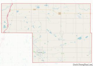
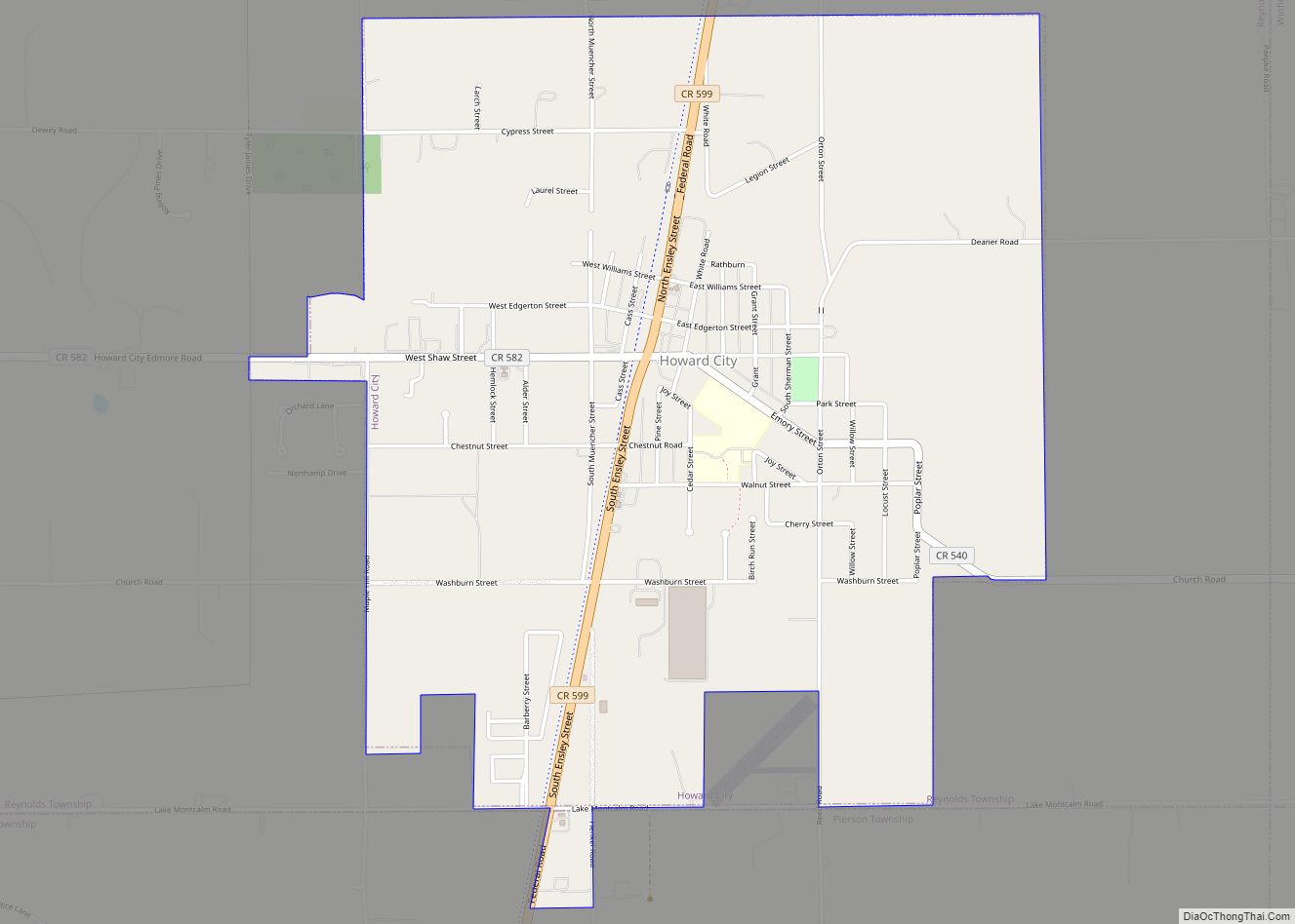
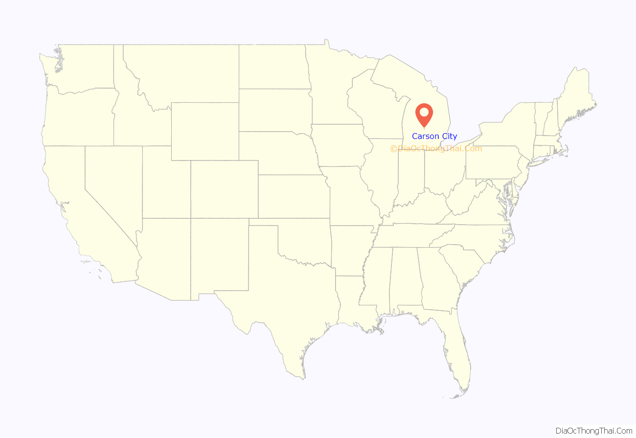
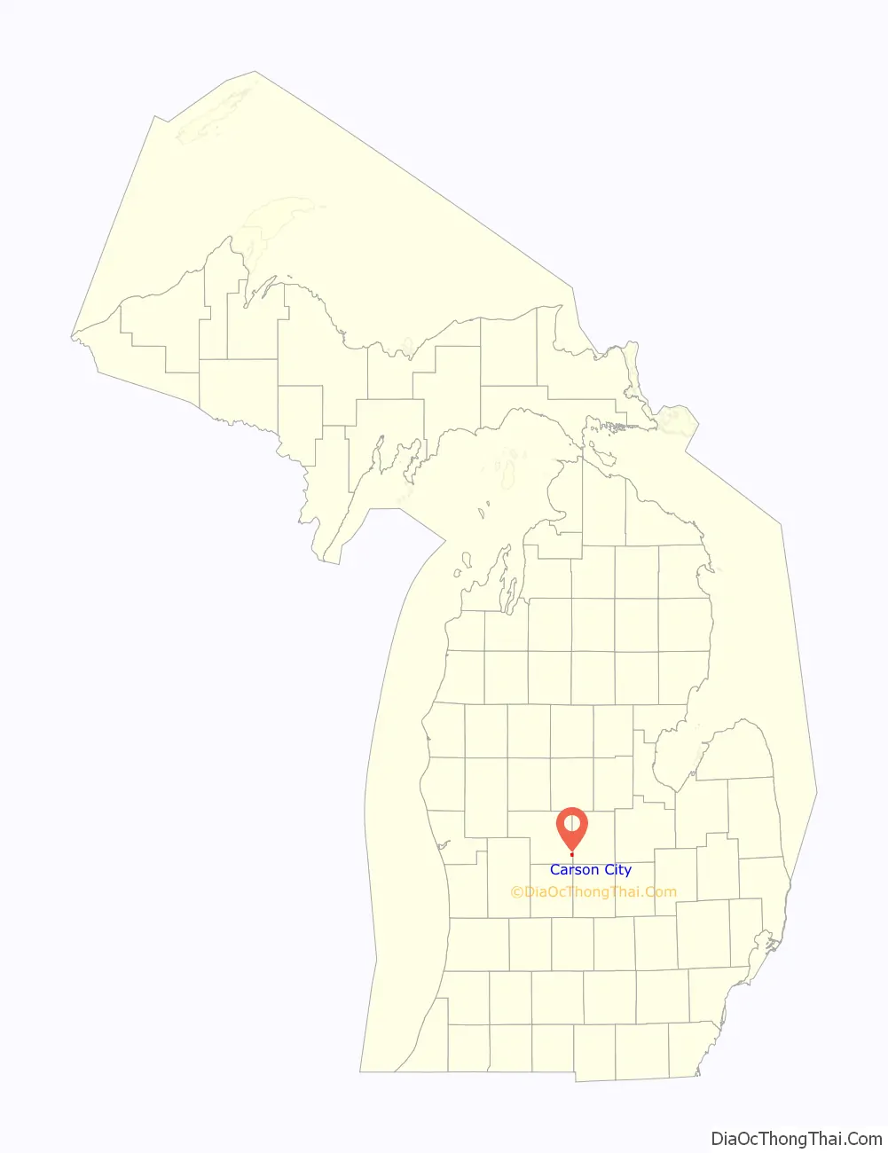
Carson City location map. Where is Carson City city?
History
Carson City was first platted in 1866 on land owned by R. M. Abbott, Delia Miner, and Hiram T. Sherman and recorded in 1871. The first lot was sold to Thomas Scott and two nephews, John and Thomas LaDue in 1867. With the corporate name Scott & LaDue, they built a sawmill in 1868 and a grist mill in 1870. The post office from North Shade in Gratiot County was transferred to this location on August 3, 1868, with Hiram T. Sherman as the first postmaster. The name Carson City was given to the post office by Thomas Scott, who had been in Carson City, Nevada, during the gold and silver mining boom days. Carson City incorporated as a village in 1887 and as a city in 1960. The first mayor of Carson City was John T Hallett.
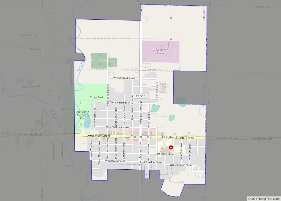
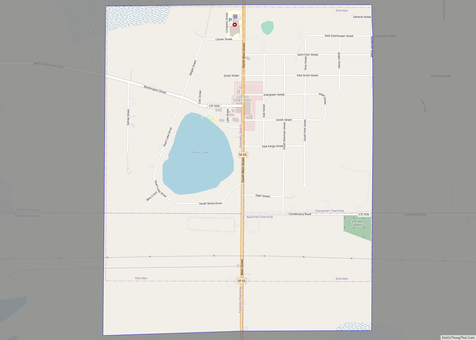
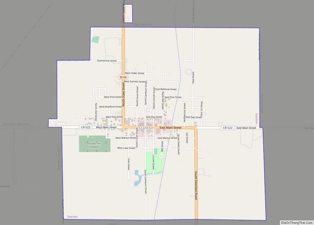
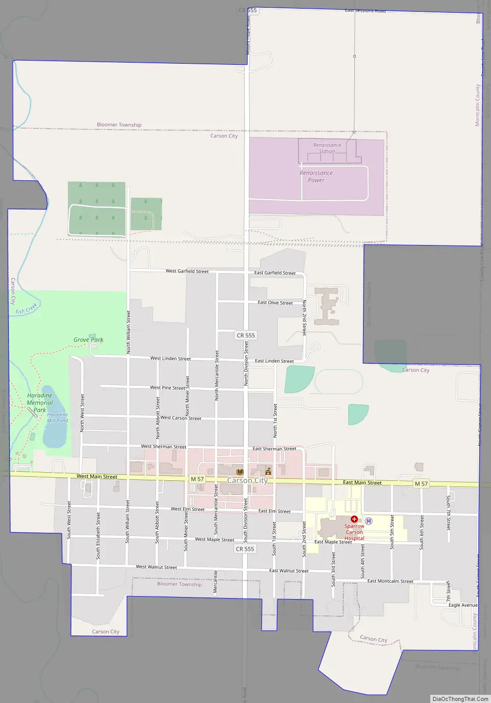
Carson City Road Map
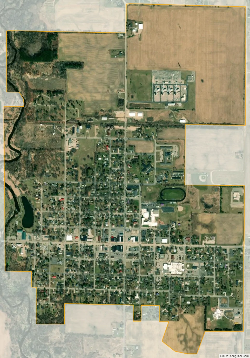
Carson City city Satellite Map
Geography
According to the United States Census Bureau, the city has a total area of 1.07 square miles (2.77 km), of which 1.04 square miles (2.69 km) is land and 0.03 square miles (0.08 km) is water.
See also
Map of Michigan State and its subdivision:- Alcona
- Alger
- Allegan
- Alpena
- Antrim
- Arenac
- Baraga
- Barry
- Bay
- Benzie
- Berrien
- Branch
- Calhoun
- Cass
- Charlevoix
- Cheboygan
- Chippewa
- Clare
- Clinton
- Crawford
- Delta
- Dickinson
- Eaton
- Emmet
- Genesee
- Gladwin
- Gogebic
- Grand Traverse
- Gratiot
- Hillsdale
- Houghton
- Huron
- Ingham
- Ionia
- Iosco
- Iron
- Isabella
- Jackson
- Kalamazoo
- Kalkaska
- Kent
- Keweenaw
- Lake
- Lake Hurron
- Lake Michigan
- Lake St. Clair
- Lake Superior
- Lapeer
- Leelanau
- Lenawee
- Livingston
- Luce
- Mackinac
- Macomb
- Manistee
- Marquette
- Mason
- Mecosta
- Menominee
- Midland
- Missaukee
- Monroe
- Montcalm
- Montmorency
- Muskegon
- Newaygo
- Oakland
- Oceana
- Ogemaw
- Ontonagon
- Osceola
- Oscoda
- Otsego
- Ottawa
- Presque Isle
- Roscommon
- Saginaw
- Saint Clair
- Saint Joseph
- Sanilac
- Schoolcraft
- Shiawassee
- Tuscola
- Van Buren
- Washtenaw
- Wayne
- Wexford
- Alabama
- Alaska
- Arizona
- Arkansas
- California
- Colorado
- Connecticut
- Delaware
- District of Columbia
- Florida
- Georgia
- Hawaii
- Idaho
- Illinois
- Indiana
- Iowa
- Kansas
- Kentucky
- Louisiana
- Maine
- Maryland
- Massachusetts
- Michigan
- Minnesota
- Mississippi
- Missouri
- Montana
- Nebraska
- Nevada
- New Hampshire
- New Jersey
- New Mexico
- New York
- North Carolina
- North Dakota
- Ohio
- Oklahoma
- Oregon
- Pennsylvania
- Rhode Island
- South Carolina
- South Dakota
- Tennessee
- Texas
- Utah
- Vermont
- Virginia
- Washington
- West Virginia
- Wisconsin
- Wyoming