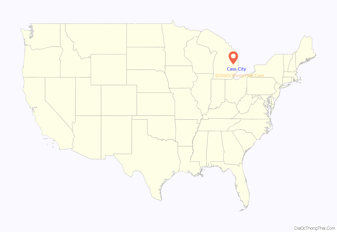
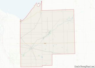
Cass City is a village in Elkland Township, Tuscola County in the Flint/Tri-Cities area of the U.S. state of Michigan. The population was 2,428 at the 2010 U.S. Census and 2,643 at the 2000 U.S. Census (a decrease of about 8%). It is located along M-81 approximately four miles (6.4 km) west of that highway’s intersection with M-53. Cass City is surrounded by several communities including Colwood, Deford, Elmwood and Ellington.
| Name: | Cass City village |
|---|---|
| LSAD Code: | 47 |
| LSAD Description: | village (suffix) |
| State: | Michigan |
| County: | Tuscola County |
| Elevation: | 745 ft (227 m) |
| Total Area: | 1.77 sq mi (4.58 km²) |
| Land Area: | 1.76 sq mi (4.57 km²) |
| Water Area: | 0.01 sq mi (0.01 km²) |
| Total Population: | 2,494 |
| Population Density: | 1,413.03/sq mi (545.69/km²) |
| ZIP code: | 48726 |
| Area code: | 989 |
| FIPS code: | 2613880 |
| GNISfeature ID: | 0622846 |
Online Interactive Map
Click on ![]() to view map in "full screen" mode.
to view map in "full screen" mode.
Cass City location map. Where is Cass City village?
History
The village and the nearby Cass River are both named after General Lewis Cass, the territorial governor of Michigan in the earlier 19th century and the Democratic nominee for President of the United States in 1848. It is currently within Michigan’s 10th congressional district.
A sawmill was established at this location in 1851. Farming settlers first came here in 1855. Cass City was incorporated as a village in 1883.
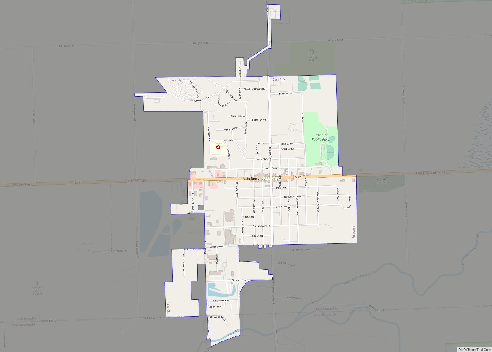
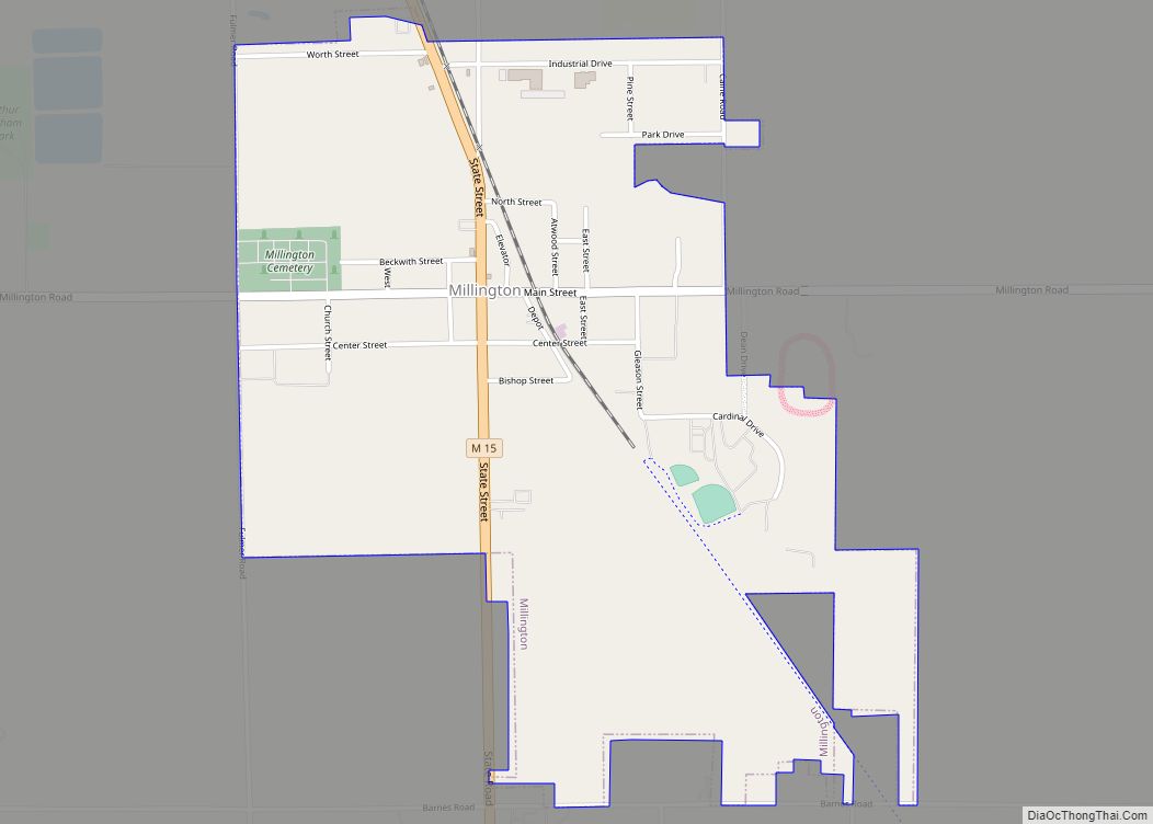
Cass City Road Map
Cass City city Satellite Map
Geography
According to the United States Census Bureau, the village has a total area of 1.79 square miles (4.64 km), of which 1.78 square miles (4.61 km) is land and 0.01 square miles (0.03 km) is water.
Climate
This climatic region has large seasonal temperature differences, with warm to hot (and often humid) summers and cold (sometimes severely cold) winters. According to the Köppen Climate Classification system, Cass City has a humid continental climate, abbreviated “Dfb” on climate maps.
See also
Map of Michigan State and its subdivision:- Alcona
- Alger
- Allegan
- Alpena
- Antrim
- Arenac
- Baraga
- Barry
- Bay
- Benzie
- Berrien
- Branch
- Calhoun
- Cass
- Charlevoix
- Cheboygan
- Chippewa
- Clare
- Clinton
- Crawford
- Delta
- Dickinson
- Eaton
- Emmet
- Genesee
- Gladwin
- Gogebic
- Grand Traverse
- Gratiot
- Hillsdale
- Houghton
- Huron
- Ingham
- Ionia
- Iosco
- Iron
- Isabella
- Jackson
- Kalamazoo
- Kalkaska
- Kent
- Keweenaw
- Lake
- Lake Hurron
- Lake Michigan
- Lake St. Clair
- Lake Superior
- Lapeer
- Leelanau
- Lenawee
- Livingston
- Luce
- Mackinac
- Macomb
- Manistee
- Marquette
- Mason
- Mecosta
- Menominee
- Midland
- Missaukee
- Monroe
- Montcalm
- Montmorency
- Muskegon
- Newaygo
- Oakland
- Oceana
- Ogemaw
- Ontonagon
- Osceola
- Oscoda
- Otsego
- Ottawa
- Presque Isle
- Roscommon
- Saginaw
- Saint Clair
- Saint Joseph
- Sanilac
- Schoolcraft
- Shiawassee
- Tuscola
- Van Buren
- Washtenaw
- Wayne
- Wexford
- Alabama
- Alaska
- Arizona
- Arkansas
- California
- Colorado
- Connecticut
- Delaware
- District of Columbia
- Florida
- Georgia
- Hawaii
- Idaho
- Illinois
- Indiana
- Iowa
- Kansas
- Kentucky
- Louisiana
- Maine
- Maryland
- Massachusetts
- Michigan
- Minnesota
- Mississippi
- Missouri
- Montana
- Nebraska
- Nevada
- New Hampshire
- New Jersey
- New Mexico
- New York
- North Carolina
- North Dakota
- Ohio
- Oklahoma
- Oregon
- Pennsylvania
- Rhode Island
- South Carolina
- South Dakota
- Tennessee
- Texas
- Utah
- Vermont
- Virginia
- Washington
- West Virginia
- Wisconsin
- Wyoming
