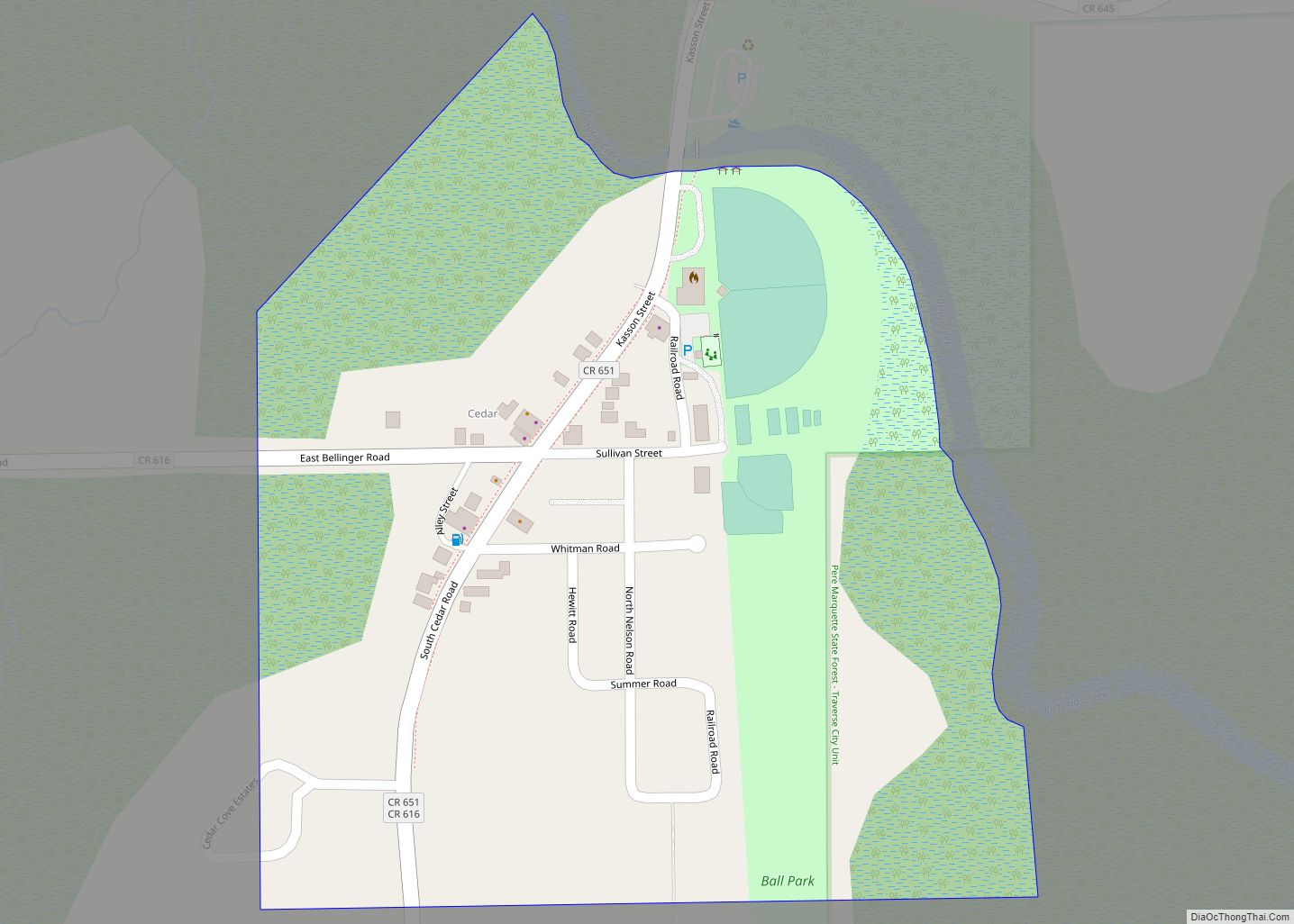
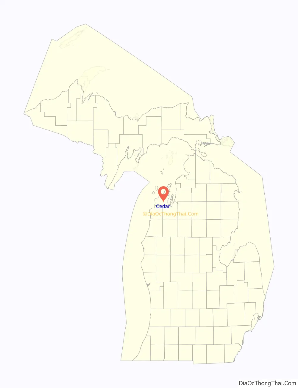
Cedar is an unincorporated community and census-designated place in Leelanau County in the U.S. State of Michigan. The CDP had a population of 102 at the 2020 census. Cedar is located within Solon Township, and lies about 10 miles (16 km) northwest of Traverse City. The town is known for its Polish heritage, and is home to an annual polka festival.
As an unincorporated community, Cedar has no legal autonomy of its own. However, it does have its own post office with the 49621 ZIP Code.
| Name: | Cedar CDP |
|---|---|
| LSAD Code: | 57 |
| LSAD Description: | CDP (suffix) |
| State: | Michigan |
| County: | Leelanau County |
| Elevation: | 597 ft (182 m) |
| Total Area: | 0.18 sq mi (0.47 km²) |
| Land Area: | 0.18 sq mi (0.47 km²) |
| Water Area: | 0.00 sq mi (0.00 km²) |
| Total Population: | 102 |
| Population Density: | 566.67/sq mi (219.09/km²) |
| Area code: | 231 |
| FIPS code: | 2614020 |
| GNISfeature ID: | 622888 |
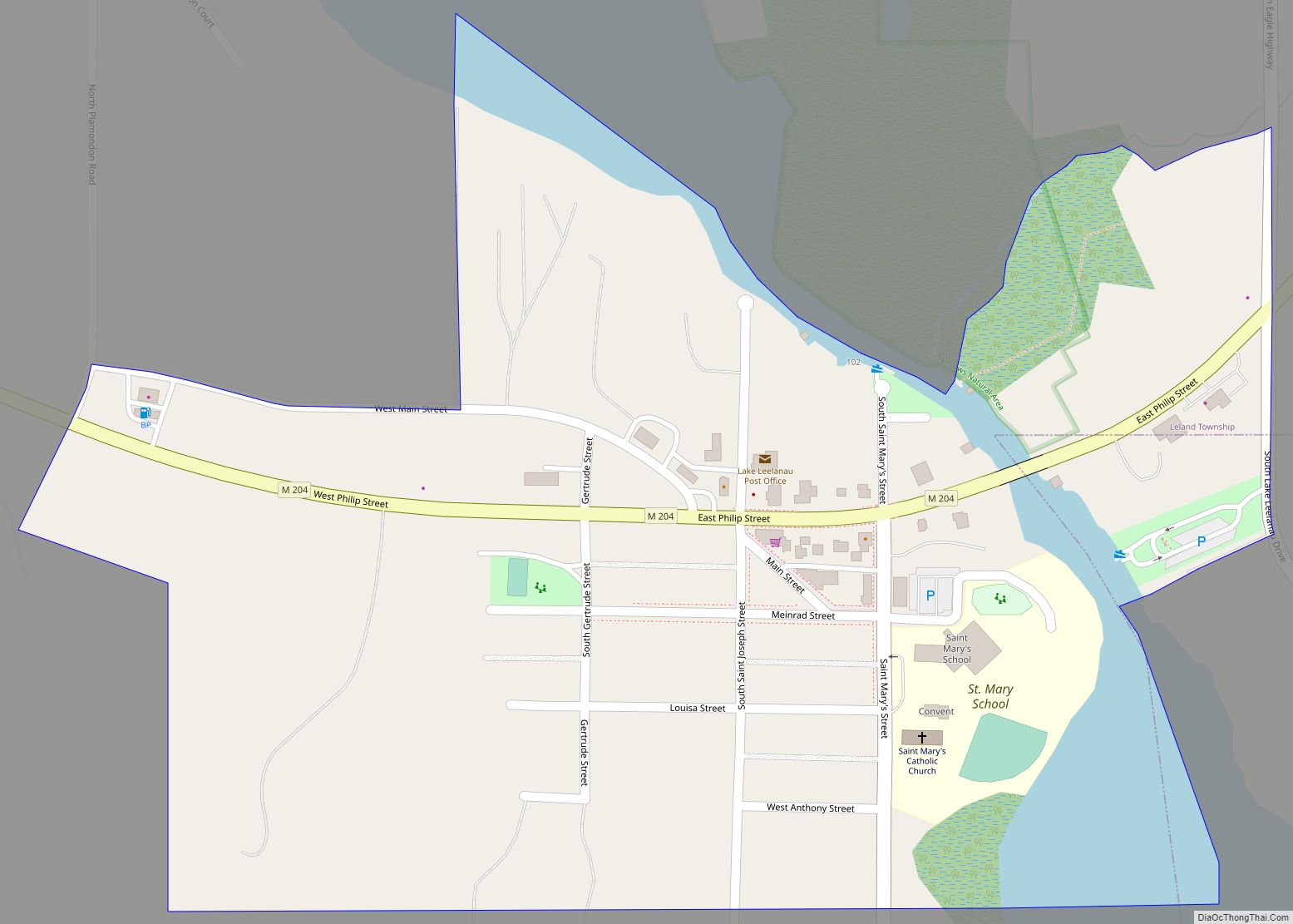
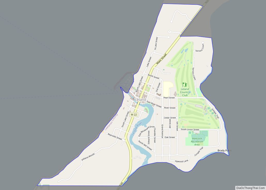
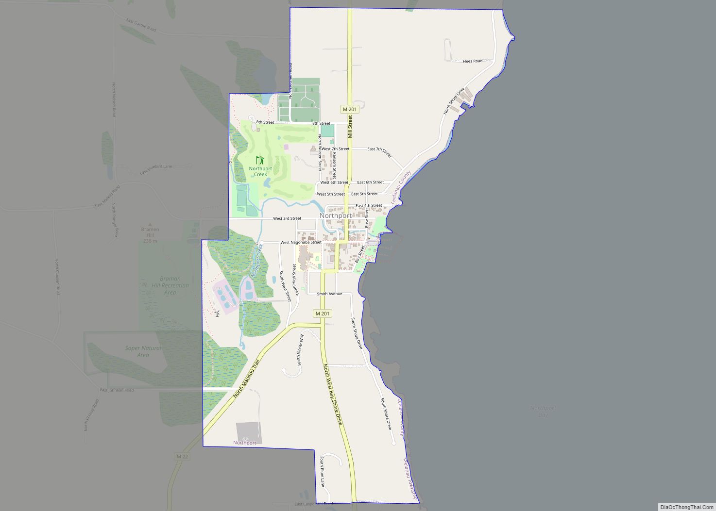
Online Interactive Map
Click on ![]() to view map in "full screen" mode.
to view map in "full screen" mode.
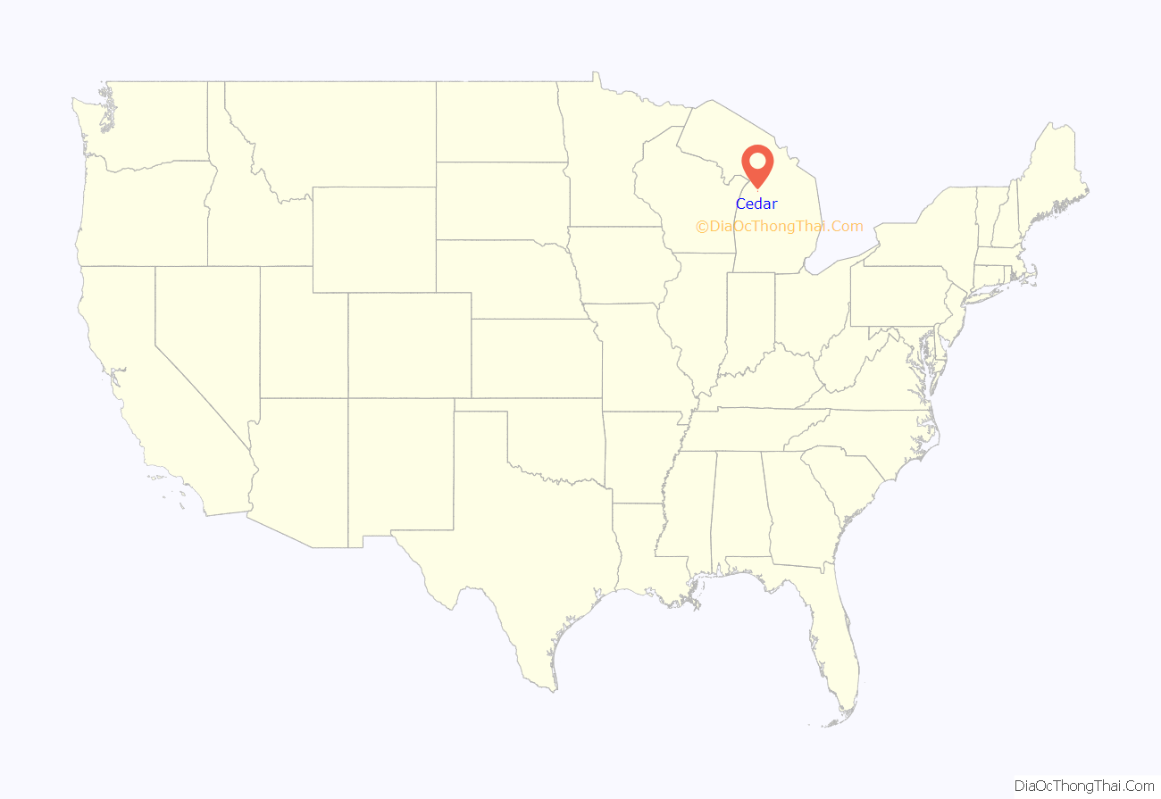
Cedar location map. Where is Cedar CDP?
History
Cedar was founded in approximately 1885 by lumberman Benjamin Boughey. He named it Cedar City due to its location in a cedar forest. The depot on the Manistee and North-Eastern Railroad continued to be known as Cedar City, long after the post office named simply Cedar was established on August 15, 1893.
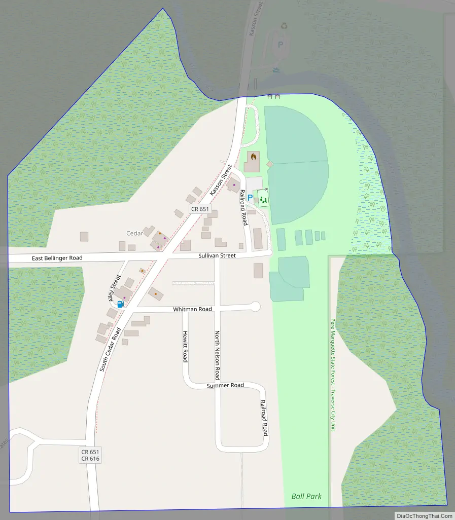
Cedar Road Map
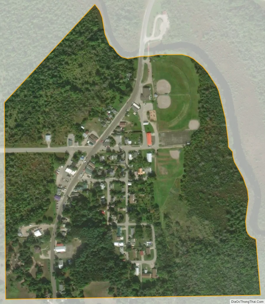
Cedar city Satellite Map
Geography
According to the U.S. Census Bureau, the CDP has a total area of 0.18 square miles (0.47 km), all land.
See also
Map of Michigan State and its subdivision:- Alcona
- Alger
- Allegan
- Alpena
- Antrim
- Arenac
- Baraga
- Barry
- Bay
- Benzie
- Berrien
- Branch
- Calhoun
- Cass
- Charlevoix
- Cheboygan
- Chippewa
- Clare
- Clinton
- Crawford
- Delta
- Dickinson
- Eaton
- Emmet
- Genesee
- Gladwin
- Gogebic
- Grand Traverse
- Gratiot
- Hillsdale
- Houghton
- Huron
- Ingham
- Ionia
- Iosco
- Iron
- Isabella
- Jackson
- Kalamazoo
- Kalkaska
- Kent
- Keweenaw
- Lake
- Lake Hurron
- Lake Michigan
- Lake St. Clair
- Lake Superior
- Lapeer
- Leelanau
- Lenawee
- Livingston
- Luce
- Mackinac
- Macomb
- Manistee
- Marquette
- Mason
- Mecosta
- Menominee
- Midland
- Missaukee
- Monroe
- Montcalm
- Montmorency
- Muskegon
- Newaygo
- Oakland
- Oceana
- Ogemaw
- Ontonagon
- Osceola
- Oscoda
- Otsego
- Ottawa
- Presque Isle
- Roscommon
- Saginaw
- Saint Clair
- Saint Joseph
- Sanilac
- Schoolcraft
- Shiawassee
- Tuscola
- Van Buren
- Washtenaw
- Wayne
- Wexford
- Alabama
- Alaska
- Arizona
- Arkansas
- California
- Colorado
- Connecticut
- Delaware
- District of Columbia
- Florida
- Georgia
- Hawaii
- Idaho
- Illinois
- Indiana
- Iowa
- Kansas
- Kentucky
- Louisiana
- Maine
- Maryland
- Massachusetts
- Michigan
- Minnesota
- Mississippi
- Missouri
- Montana
- Nebraska
- Nevada
- New Hampshire
- New Jersey
- New Mexico
- New York
- North Carolina
- North Dakota
- Ohio
- Oklahoma
- Oregon
- Pennsylvania
- Rhode Island
- South Carolina
- South Dakota
- Tennessee
- Texas
- Utah
- Vermont
- Virginia
- Washington
- West Virginia
- Wisconsin
- Wyoming