Walker is a city in Kent County in the U.S. state of Michigan. The population was 23,537 at the 2010 census.
Walker was originally organized as Walker Township in 1837 and later incorporated as a city in 1962. It is part of the Grand Rapids metropolitan area and is bordered by the city of Grand Rapids on the east.
| Name: | Walker city |
|---|---|
| LSAD Code: | 25 |
| LSAD Description: | city (suffix) |
| State: | Michigan |
| County: | Kent County |
| Incorporated: | 1962 |
| Elevation: | 709 ft (216 m) |
| Total Area: | 25.14 sq mi (65.12 km²) |
| Land Area: | 24.58 sq mi (63.66 km²) |
| Water Area: | 0.57 sq mi (1.47 km²) |
| Total Population: | 25,132 |
| Population Density: | 1,022.54/sq mi (394.81/km²) |
| Area code: | 616 |
| FIPS code: | 2682960 |
| GNISfeature ID: | 1627209 |
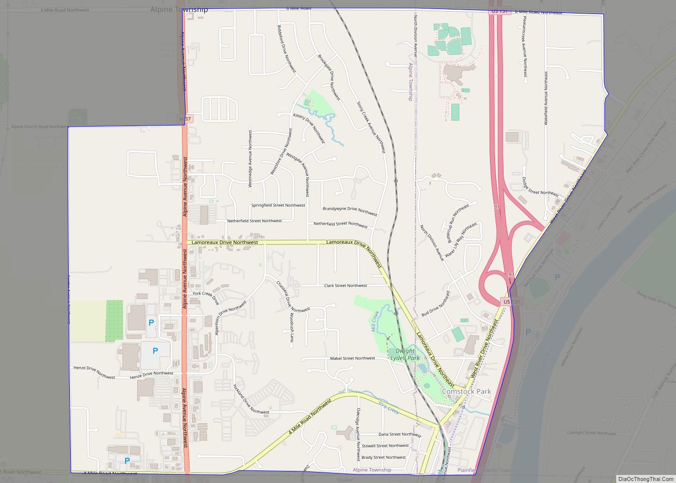
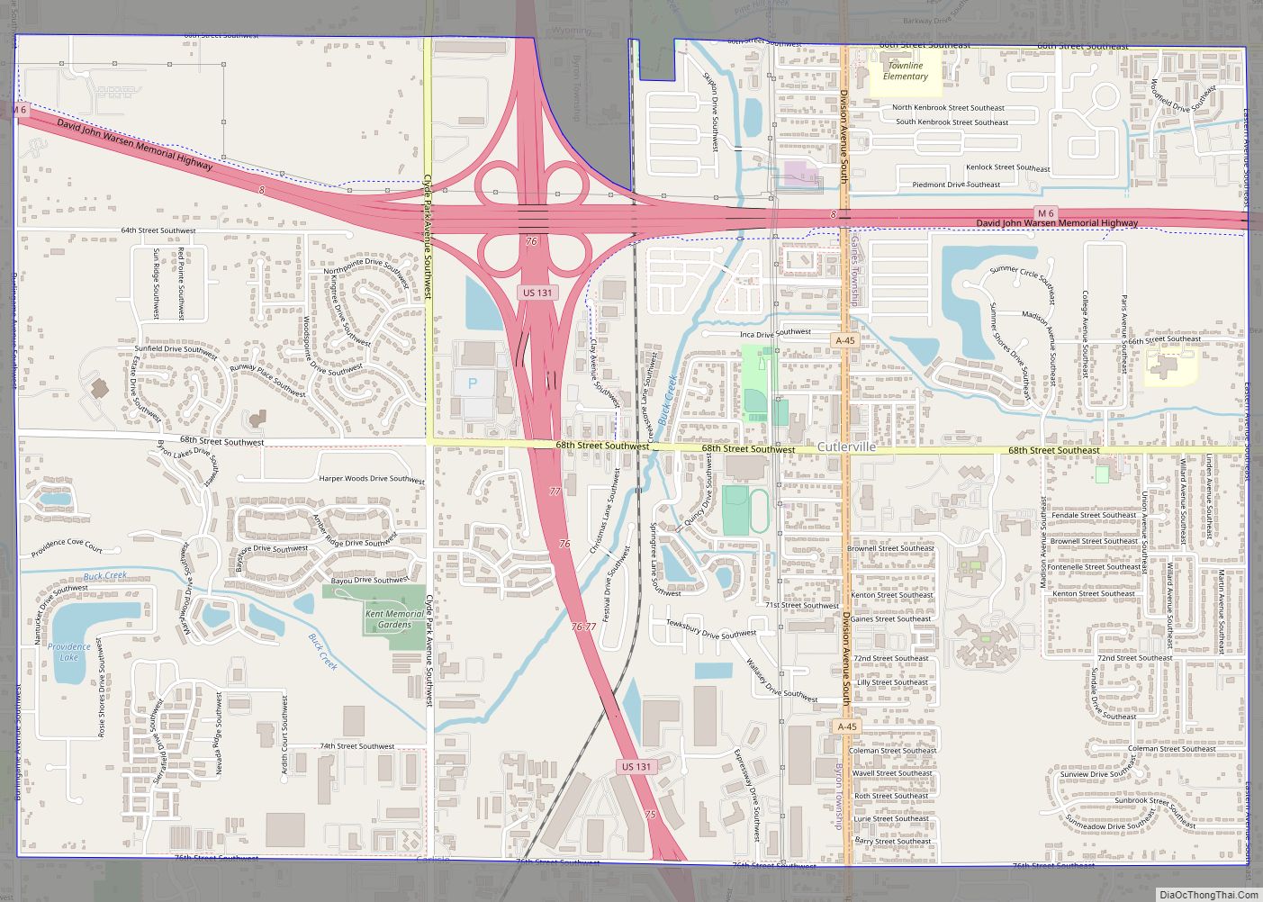
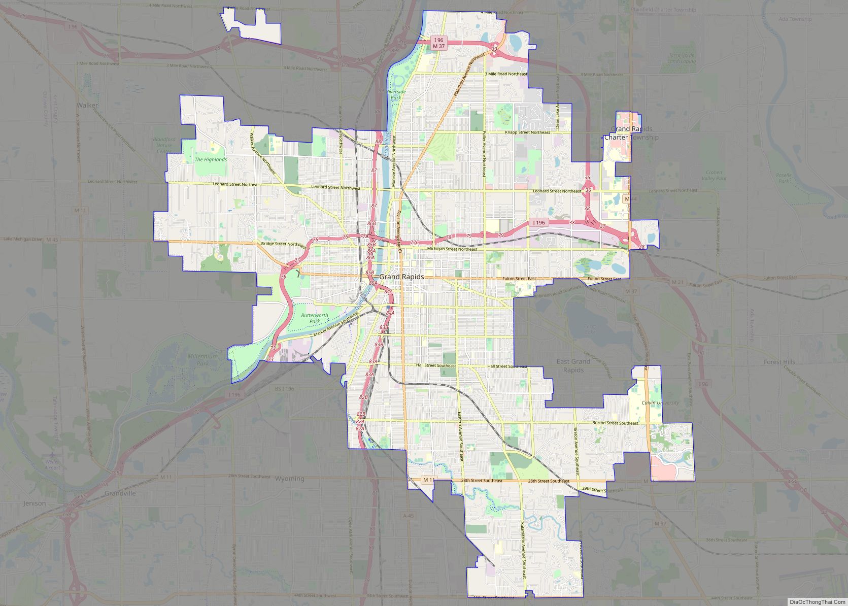
Online Interactive Map
Click on ![]() to view map in "full screen" mode.
to view map in "full screen" mode.
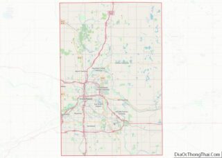
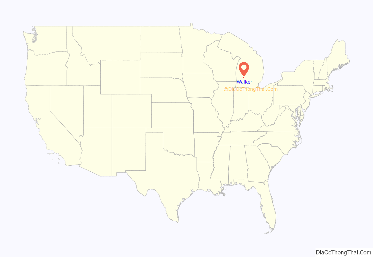
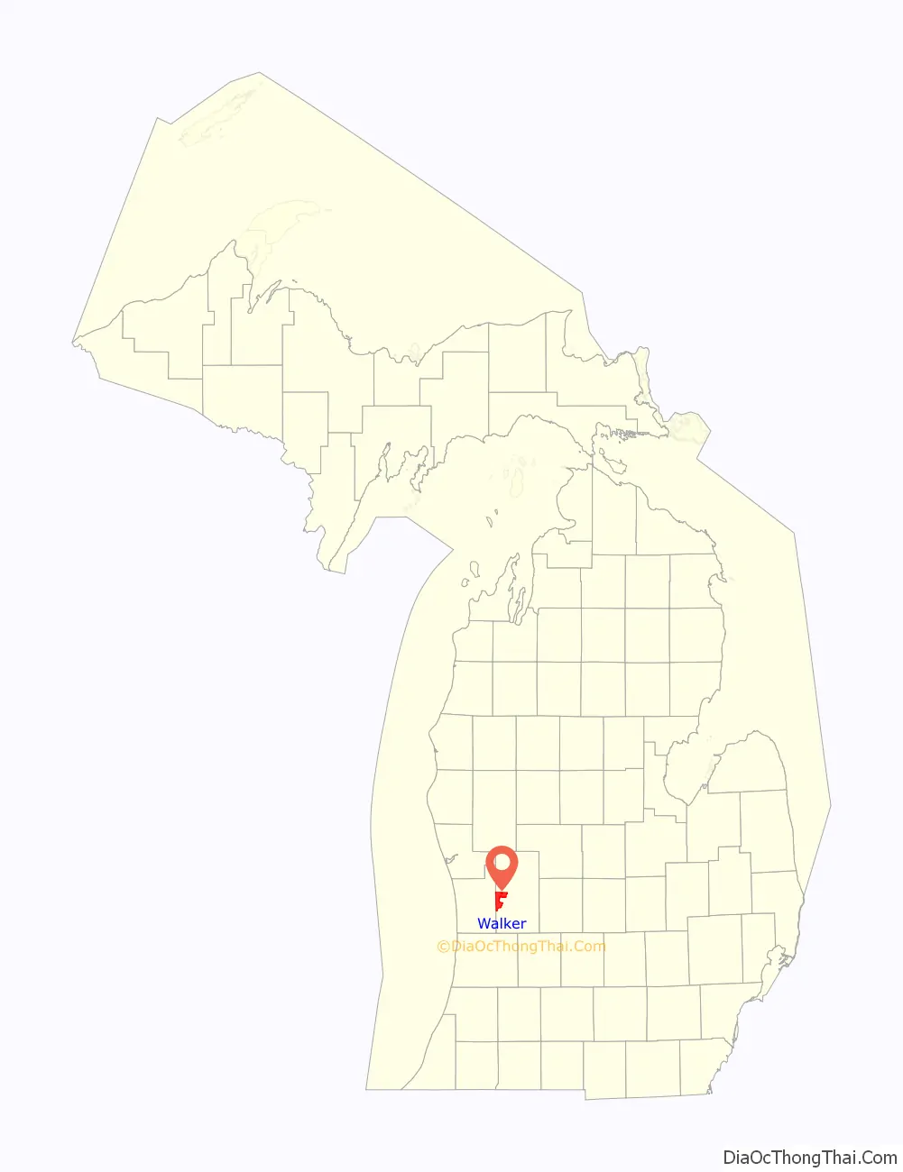
Walker location map. Where is Walker city?
History
The area was first organized as Walker Township on December 30, 1837, the second to be organized in Kent County. It initially comprised all of the land in the county north of the Grand River. Shortly thereafter in 1838, part of the township was split off to form Ada Township. The earliest settlers of the township were Canadian immigrants. In 1867, a township hall was built. However, the area where the township hall was annexed into Grand Rapids in 1959.
Walker was established as a city in 1962 to prevent further annexation of the area into Grand Rapids. At the time it was made a city, Walker had a population of 11,000.
The city gained national attention when Gwendolyn Graham and Cathy Wood committed their murders as workers at a nursing home in Walker in 1987.
Walker Road Map

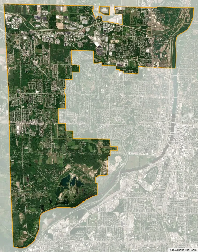
Walker city Satellite Map
Geography
According to the U.S. Census Bureau, the city has a total area of 25.14 square miles (65.11 km), of which 24.58 square miles (63.66 km) is land and 0.57 square miles (1.48 km) (2.27%) is water.
Major highways
- I-96 runs along the north side of the city.
- US 131 passes briefly through the northeastern part of the city.
- M-11 (Wilson Avenue and Remembrance Drive) runs south–north through the western edge of the city.
- M-37 (Alpine Avenue) enters from the north of the city and then runs concurrently with I-96.
- M-45 (Lake Michigan Drive) runs west–east briefly through the center of the city.
See also
Map of Michigan State and its subdivision:- Alcona
- Alger
- Allegan
- Alpena
- Antrim
- Arenac
- Baraga
- Barry
- Bay
- Benzie
- Berrien
- Branch
- Calhoun
- Cass
- Charlevoix
- Cheboygan
- Chippewa
- Clare
- Clinton
- Crawford
- Delta
- Dickinson
- Eaton
- Emmet
- Genesee
- Gladwin
- Gogebic
- Grand Traverse
- Gratiot
- Hillsdale
- Houghton
- Huron
- Ingham
- Ionia
- Iosco
- Iron
- Isabella
- Jackson
- Kalamazoo
- Kalkaska
- Kent
- Keweenaw
- Lake
- Lake Hurron
- Lake Michigan
- Lake St. Clair
- Lake Superior
- Lapeer
- Leelanau
- Lenawee
- Livingston
- Luce
- Mackinac
- Macomb
- Manistee
- Marquette
- Mason
- Mecosta
- Menominee
- Midland
- Missaukee
- Monroe
- Montcalm
- Montmorency
- Muskegon
- Newaygo
- Oakland
- Oceana
- Ogemaw
- Ontonagon
- Osceola
- Oscoda
- Otsego
- Ottawa
- Presque Isle
- Roscommon
- Saginaw
- Saint Clair
- Saint Joseph
- Sanilac
- Schoolcraft
- Shiawassee
- Tuscola
- Van Buren
- Washtenaw
- Wayne
- Wexford
- Alabama
- Alaska
- Arizona
- Arkansas
- California
- Colorado
- Connecticut
- Delaware
- District of Columbia
- Florida
- Georgia
- Hawaii
- Idaho
- Illinois
- Indiana
- Iowa
- Kansas
- Kentucky
- Louisiana
- Maine
- Maryland
- Massachusetts
- Michigan
- Minnesota
- Mississippi
- Missouri
- Montana
- Nebraska
- Nevada
- New Hampshire
- New Jersey
- New Mexico
- New York
- North Carolina
- North Dakota
- Ohio
- Oklahoma
- Oregon
- Pennsylvania
- Rhode Island
- South Carolina
- South Dakota
- Tennessee
- Texas
- Utah
- Vermont
- Virginia
- Washington
- West Virginia
- Wisconsin
- Wyoming