Coopersville is a city located in north central Ottawa County in the U.S. state of Michigan. The population was 4,828 at the 2020 census. It is primarily a farming community.
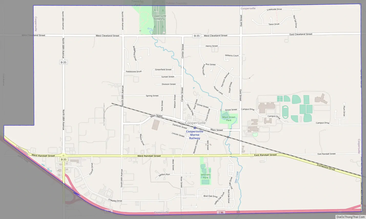
The city is located within Polkton Township, though it is administratively autonomous. It lies just north of Interstate 96 along the eastern township boundary, adjacent to Wright Township on the east. There are two exits on I-96, one at the southeast corner of the city and the other at the southwest corner.
Coopersville served as the primary filming location for the 2012 football film Touchback.
| Name: | Coopersville city |
|---|---|
| LSAD Code: | 25 |
| LSAD Description: | city (suffix) |
| State: | Michigan |
| County: | Ottawa County |
| Elevation: | 636 ft (193.8 m) |
| Total Area: | 4.81 sq mi (12.47 km²) |
| Land Area: | 4.81 sq mi (12.46 km²) |
| Water Area: | 0.00 sq mi (0.01 km²) 0% |
| Total Population: | 4,828 |
| Population Density: | 1,003.74/sq mi (387.51/km²) |
| ZIP code: | 49404 |
| Area code: | 616 |
| FIPS code: | 2618020 |
| GNISfeature ID: | 0623797 |
| Website: | http://www.cityofcoopersville.com/ |
Online Interactive Map
Click on ![]() to view map in "full screen" mode.
to view map in "full screen" mode.
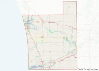
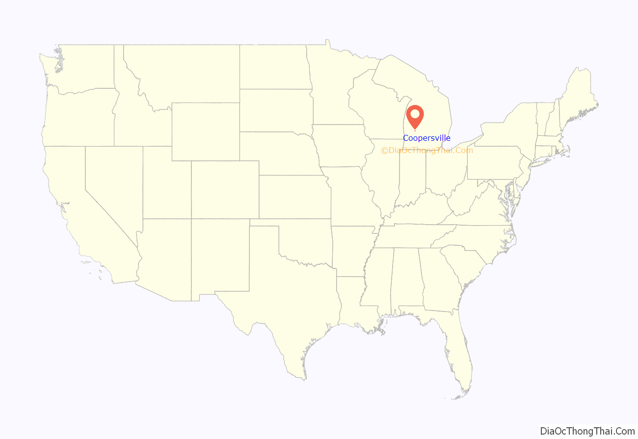
Coopersville location map. Where is Coopersville city?
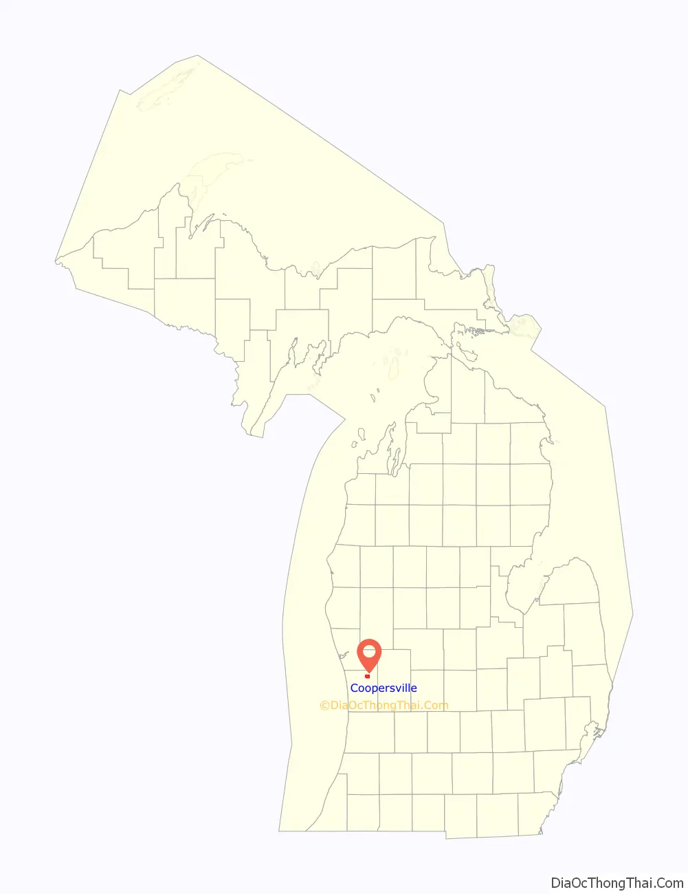
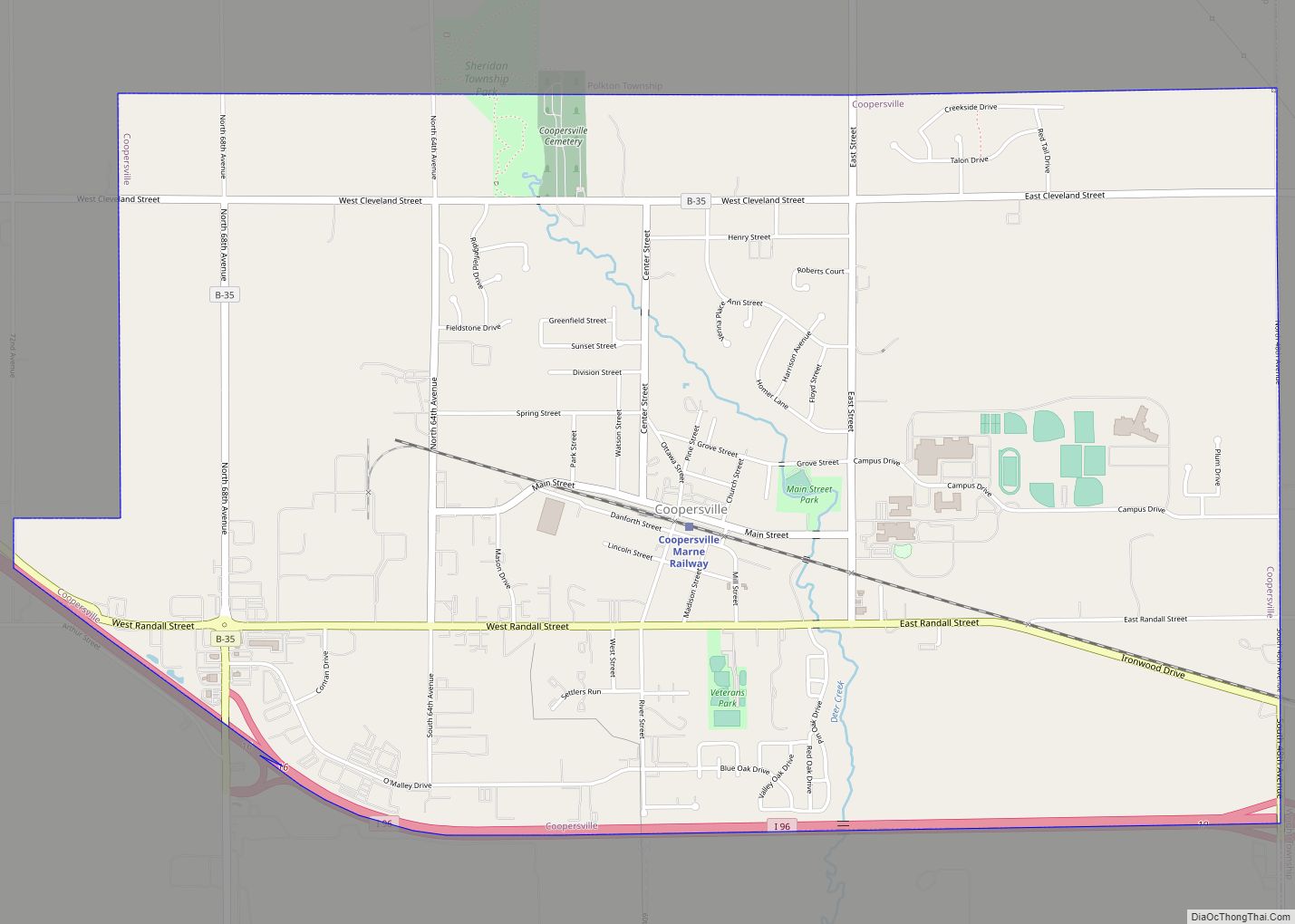
Coopersville Road Map
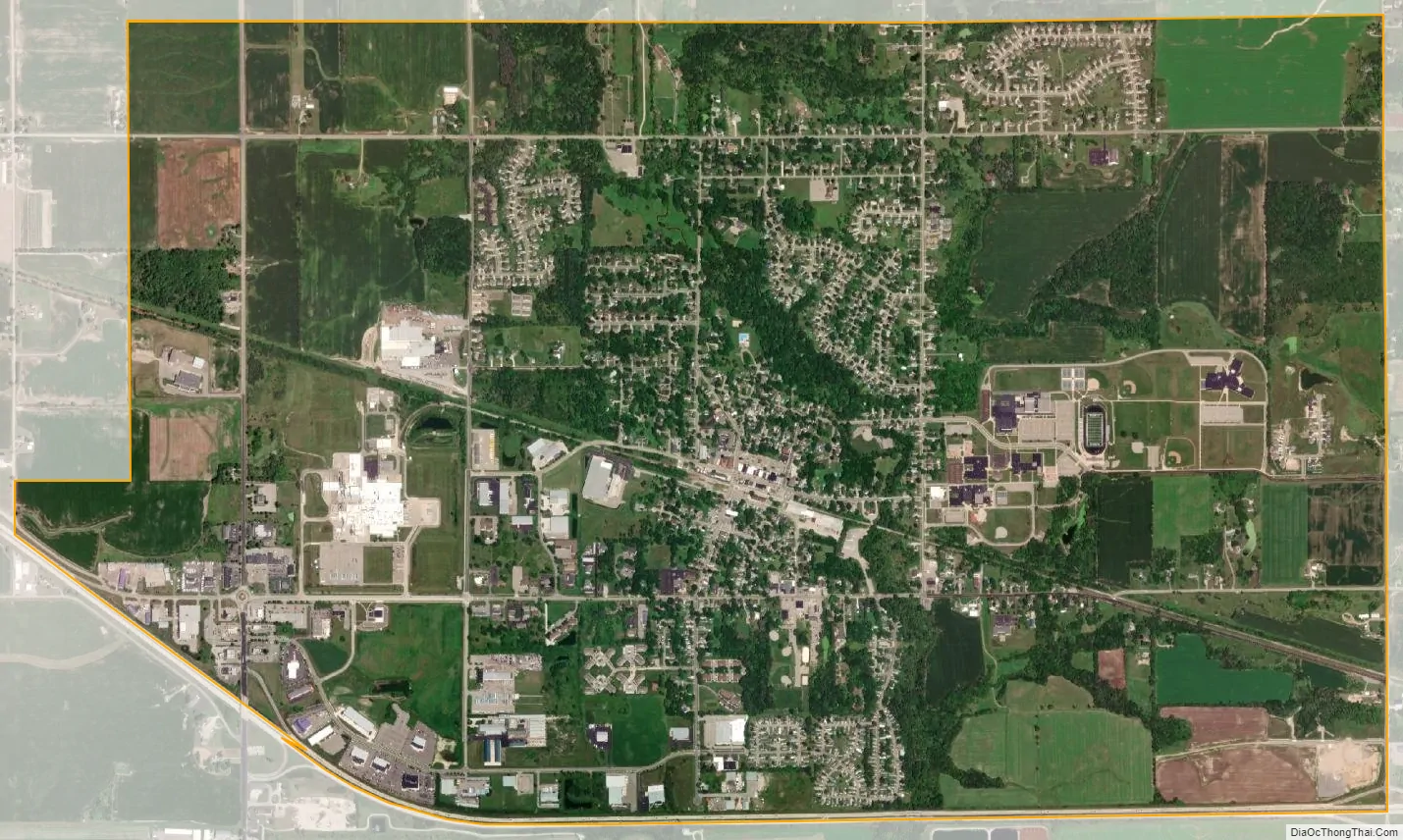
Coopersville city Satellite Map
Geography
According to the United States Census Bureau, the city has a total area of 4.81 square miles (12.46 km), all land. Over 50% of the land within the city limits is committed to agriculture.
See also
Map of Michigan State and its subdivision:- Alcona
- Alger
- Allegan
- Alpena
- Antrim
- Arenac
- Baraga
- Barry
- Bay
- Benzie
- Berrien
- Branch
- Calhoun
- Cass
- Charlevoix
- Cheboygan
- Chippewa
- Clare
- Clinton
- Crawford
- Delta
- Dickinson
- Eaton
- Emmet
- Genesee
- Gladwin
- Gogebic
- Grand Traverse
- Gratiot
- Hillsdale
- Houghton
- Huron
- Ingham
- Ionia
- Iosco
- Iron
- Isabella
- Jackson
- Kalamazoo
- Kalkaska
- Kent
- Keweenaw
- Lake
- Lake Hurron
- Lake Michigan
- Lake St. Clair
- Lake Superior
- Lapeer
- Leelanau
- Lenawee
- Livingston
- Luce
- Mackinac
- Macomb
- Manistee
- Marquette
- Mason
- Mecosta
- Menominee
- Midland
- Missaukee
- Monroe
- Montcalm
- Montmorency
- Muskegon
- Newaygo
- Oakland
- Oceana
- Ogemaw
- Ontonagon
- Osceola
- Oscoda
- Otsego
- Ottawa
- Presque Isle
- Roscommon
- Saginaw
- Saint Clair
- Saint Joseph
- Sanilac
- Schoolcraft
- Shiawassee
- Tuscola
- Van Buren
- Washtenaw
- Wayne
- Wexford
- Alabama
- Alaska
- Arizona
- Arkansas
- California
- Colorado
- Connecticut
- Delaware
- District of Columbia
- Florida
- Georgia
- Hawaii
- Idaho
- Illinois
- Indiana
- Iowa
- Kansas
- Kentucky
- Louisiana
- Maine
- Maryland
- Massachusetts
- Michigan
- Minnesota
- Mississippi
- Missouri
- Montana
- Nebraska
- Nevada
- New Hampshire
- New Jersey
- New Mexico
- New York
- North Carolina
- North Dakota
- Ohio
- Oklahoma
- Oregon
- Pennsylvania
- Rhode Island
- South Carolina
- South Dakota
- Tennessee
- Texas
- Utah
- Vermont
- Virginia
- Washington
- West Virginia
- Wisconsin
- Wyoming