Spring Lake is a village in Ottawa County in the U.S. state of Michigan. The population was 2,323 at the 2010 census. The village is located within Spring Lake Township.
| Name: | Spring Lake village |
|---|---|
| LSAD Code: | 47 |
| LSAD Description: | village (suffix) |
| State: | Michigan |
| County: | Ottawa County |
| Elevation: | 597 ft (182 m) |
| Total Area: | 1.91 sq mi (4.96 km²) |
| Land Area: | 1.25 sq mi (3.24 km²) |
| Water Area: | 0.67 sq mi (1.72 km²) |
| Total Population: | 2,497 |
| Population Density: | 1,999.20/sq mi (771.64/km²) |
| ZIP code: | 49456 |
| Area code: | 616 |
| FIPS code: | 2675820 |
| GNISfeature ID: | 0638599 |
| Website: | http://www.springlakevillage.org/ |
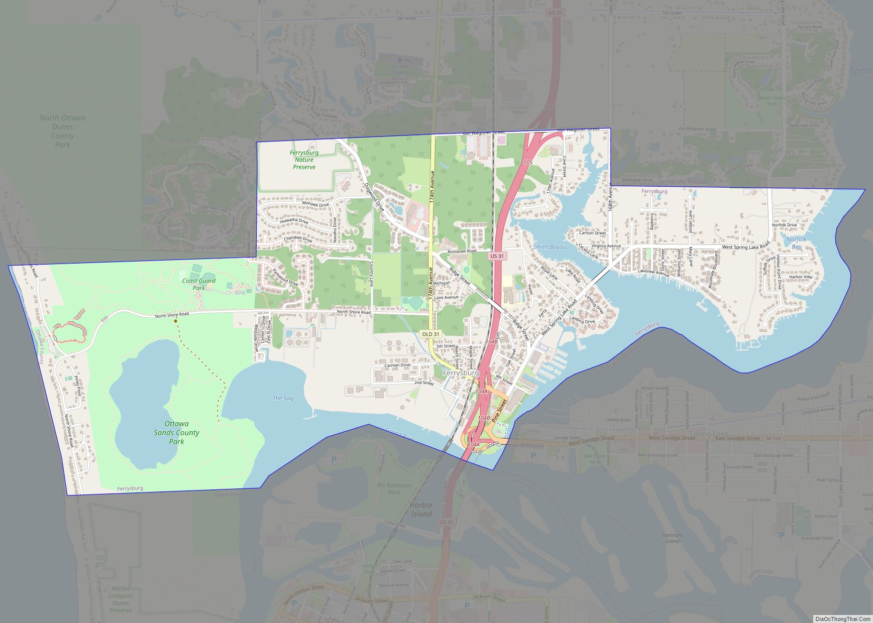
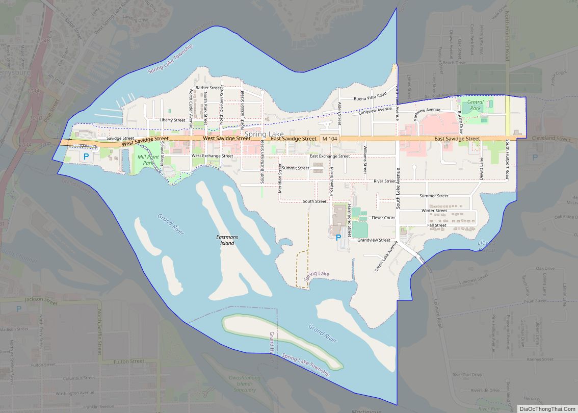
Online Interactive Map
Click on ![]() to view map in "full screen" mode.
to view map in "full screen" mode.
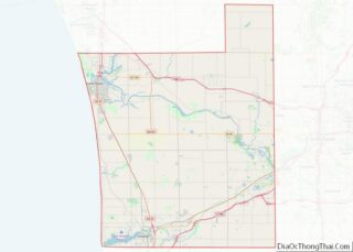
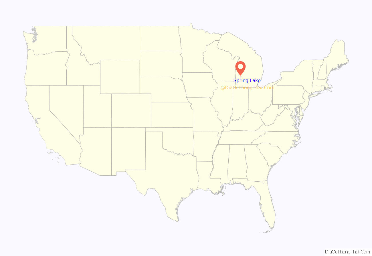
Spring Lake location map. Where is Spring Lake village?
History
In 1837, Captain Benjamin Hopkins purchased land in the area and built a mill. The place became known as “Hopkins Mill”. In 1849, Thomas W. White and S.C. Hopkins recorded a plat with the name “Mill Point”. A post office was established with that name in May 1851. In May 1867, the post office was renamed “Spring Lake”, which was also the name of a station on the Detroit, Grand Haven and Milwaukee Railway (later part of the Grand Trunk Western Railroad). The Village of Spring Lake was incorporated in 1869. The post office continues to operate, with ZIP code 49456.
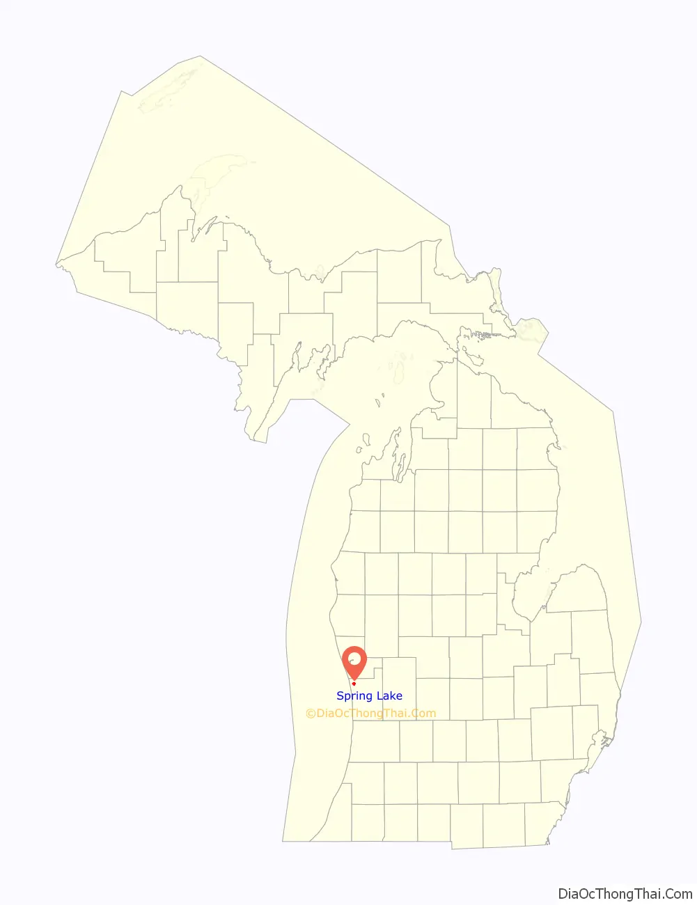
Spring Lake Road Map

Spring Lake city Satellite Map

Geography
According to the United States Census Bureau, the village has a total area of 1.74 square miles (4.51 km), of which 1.18 square miles (3.06 km) is land and 0.56 square miles (1.45 km) is water.
See also
Map of Michigan State and its subdivision:- Alcona
- Alger
- Allegan
- Alpena
- Antrim
- Arenac
- Baraga
- Barry
- Bay
- Benzie
- Berrien
- Branch
- Calhoun
- Cass
- Charlevoix
- Cheboygan
- Chippewa
- Clare
- Clinton
- Crawford
- Delta
- Dickinson
- Eaton
- Emmet
- Genesee
- Gladwin
- Gogebic
- Grand Traverse
- Gratiot
- Hillsdale
- Houghton
- Huron
- Ingham
- Ionia
- Iosco
- Iron
- Isabella
- Jackson
- Kalamazoo
- Kalkaska
- Kent
- Keweenaw
- Lake
- Lake Hurron
- Lake Michigan
- Lake St. Clair
- Lake Superior
- Lapeer
- Leelanau
- Lenawee
- Livingston
- Luce
- Mackinac
- Macomb
- Manistee
- Marquette
- Mason
- Mecosta
- Menominee
- Midland
- Missaukee
- Monroe
- Montcalm
- Montmorency
- Muskegon
- Newaygo
- Oakland
- Oceana
- Ogemaw
- Ontonagon
- Osceola
- Oscoda
- Otsego
- Ottawa
- Presque Isle
- Roscommon
- Saginaw
- Saint Clair
- Saint Joseph
- Sanilac
- Schoolcraft
- Shiawassee
- Tuscola
- Van Buren
- Washtenaw
- Wayne
- Wexford
- Alabama
- Alaska
- Arizona
- Arkansas
- California
- Colorado
- Connecticut
- Delaware
- District of Columbia
- Florida
- Georgia
- Hawaii
- Idaho
- Illinois
- Indiana
- Iowa
- Kansas
- Kentucky
- Louisiana
- Maine
- Maryland
- Massachusetts
- Michigan
- Minnesota
- Mississippi
- Missouri
- Montana
- Nebraska
- Nevada
- New Hampshire
- New Jersey
- New Mexico
- New York
- North Carolina
- North Dakota
- Ohio
- Oklahoma
- Oregon
- Pennsylvania
- Rhode Island
- South Carolina
- South Dakota
- Tennessee
- Texas
- Utah
- Vermont
- Virginia
- Washington
- West Virginia
- Wisconsin
- Wyoming