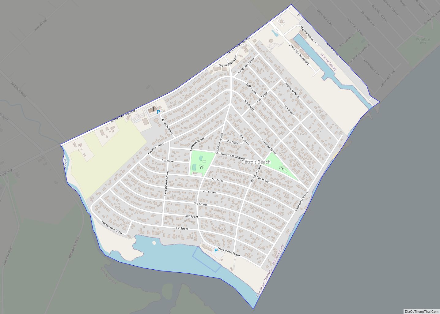
Detroit Beach is an unincorporated community and census-designated place (CDP) in Monroe County in the U.S. state of Michigan. The population was 1,957 at the 2020 census. The CDP is located within Frenchtown Charter Township, and as an unincorporated community, Detroit Beach has no legal autonomy of its own.
Detroit Beach and its surrounding communities are served by Jefferson Schools.
| Name: | Detroit Beach CDP |
|---|---|
| LSAD Code: | 57 |
| LSAD Description: | CDP (suffix) |
| State: | Michigan |
| County: | Monroe County |
| Elevation: | 574 ft (175 m) |
| Total Area: | 0.66 sq mi (1.71 km²) |
| Land Area: | 0.62 sq mi (1.61 km²) |
| Water Area: | 0.04 sq mi (0.10 km²) |
| Total Population: | 1,957 |
| Population Density: | 3,146.30/sq mi (1,214.68/km²) |
| Area code: | 734 |
| FIPS code: | 2622040 |
| GNISfeature ID: | 0624581 |
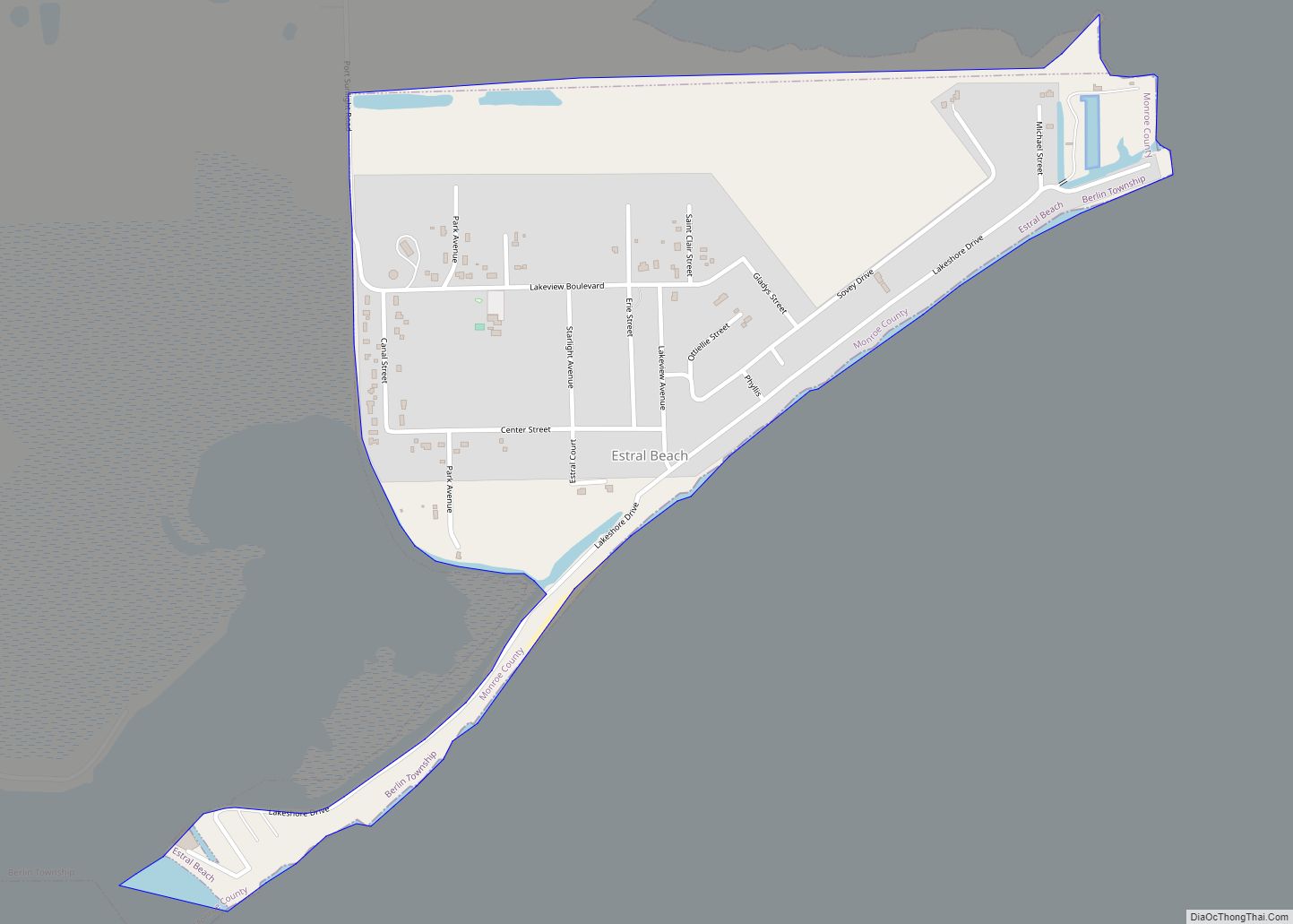
Online Interactive Map
Click on ![]() to view map in "full screen" mode.
to view map in "full screen" mode.
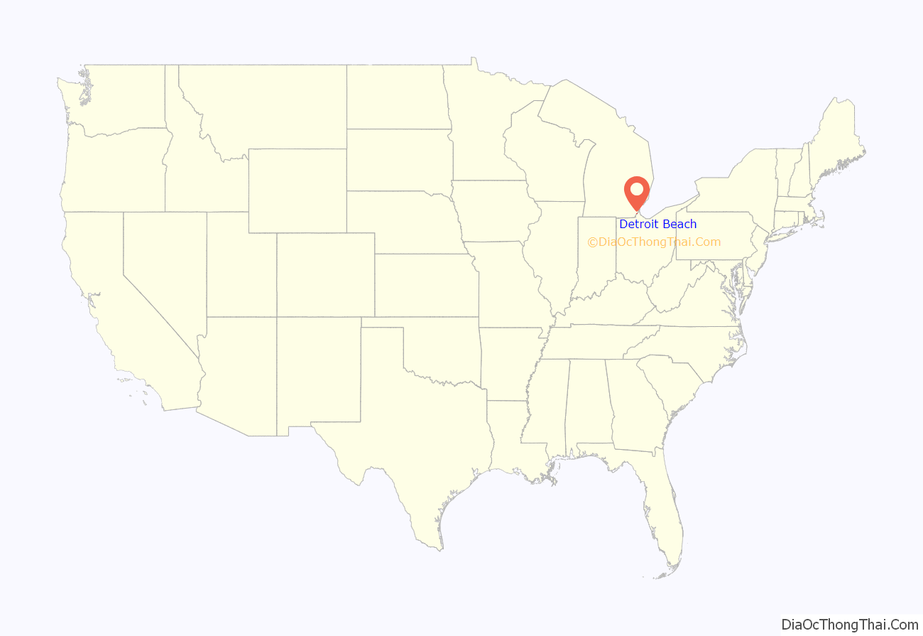
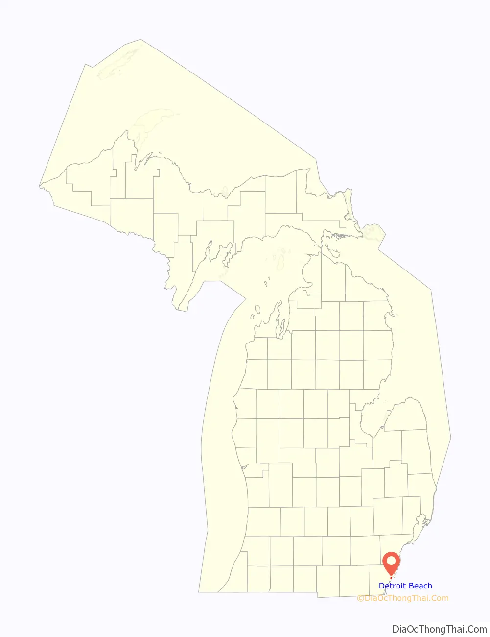
Detroit Beach location map. Where is Detroit Beach CDP?
History
The community of Detroit Beach was established by the Industrial Development Company in 1923 and so named in order to attract lot buyers from Detroit.
Detroit Beach Road Map
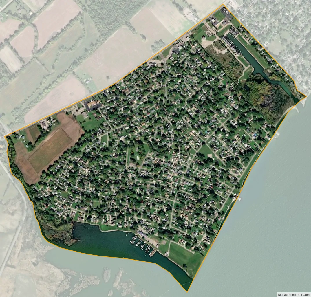
Detroit Beach city Satellite Map
Geography
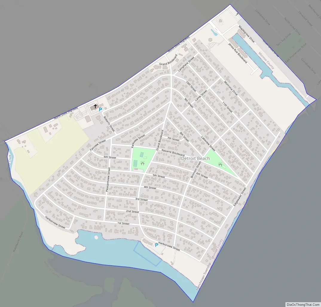
According to the U.S. Census Bureau, the community has a total area of 0.66 square miles (1.71 km), of which 0.62 square miles (1.61 km) is land and 0.04 square miles (0.10 km) (6.06%) is water.
The community is in Frenchtown Charter Township on the shores of Lake Erie about 3.0 miles (4.8 km) northeast of the city of Monroe. The area defined by the CDP is bounded on the northeast by South Grove Drive, on the northwest by North Dixie Highway, and on the southwest by the Sandy Creek and Sterling State Park. Detroit Beach is the main community, but the CDP also extends to include residents and storefronts along North Dixie Highway, as well as the Frenchtown Harbor condominiums and a small portion of Grand Beach. The CDP of Woodland Beach borders to the northeast.
See also
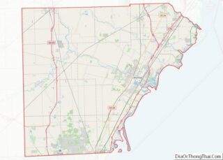
Map of Michigan State and its subdivision:- Alcona
- Alger
- Allegan
- Alpena
- Antrim
- Arenac
- Baraga
- Barry
- Bay
- Benzie
- Berrien
- Branch
- Calhoun
- Cass
- Charlevoix
- Cheboygan
- Chippewa
- Clare
- Clinton
- Crawford
- Delta
- Dickinson
- Eaton
- Emmet
- Genesee
- Gladwin
- Gogebic
- Grand Traverse
- Gratiot
- Hillsdale
- Houghton
- Huron
- Ingham
- Ionia
- Iosco
- Iron
- Isabella
- Jackson
- Kalamazoo
- Kalkaska
- Kent
- Keweenaw
- Lake
- Lake Hurron
- Lake Michigan
- Lake St. Clair
- Lake Superior
- Lapeer
- Leelanau
- Lenawee
- Livingston
- Luce
- Mackinac
- Macomb
- Manistee
- Marquette
- Mason
- Mecosta
- Menominee
- Midland
- Missaukee
- Monroe
- Montcalm
- Montmorency
- Muskegon
- Newaygo
- Oakland
- Oceana
- Ogemaw
- Ontonagon
- Osceola
- Oscoda
- Otsego
- Ottawa
- Presque Isle
- Roscommon
- Saginaw
- Saint Clair
- Saint Joseph
- Sanilac
- Schoolcraft
- Shiawassee
- Tuscola
- Van Buren
- Washtenaw
- Wayne
- Wexford
- Alabama
- Alaska
- Arizona
- Arkansas
- California
- Colorado
- Connecticut
- Delaware
- District of Columbia
- Florida
- Georgia
- Hawaii
- Idaho
- Illinois
- Indiana
- Iowa
- Kansas
- Kentucky
- Louisiana
- Maine
- Maryland
- Massachusetts
- Michigan
- Minnesota
- Mississippi
- Missouri
- Montana
- Nebraska
- Nevada
- New Hampshire
- New Jersey
- New Mexico
- New York
- North Carolina
- North Dakota
- Ohio
- Oklahoma
- Oregon
- Pennsylvania
- Rhode Island
- South Carolina
- South Dakota
- Tennessee
- Texas
- Utah
- Vermont
- Virginia
- Washington
- West Virginia
- Wisconsin
- Wyoming