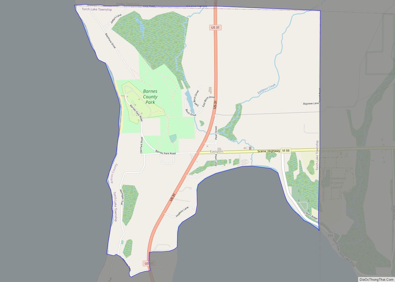
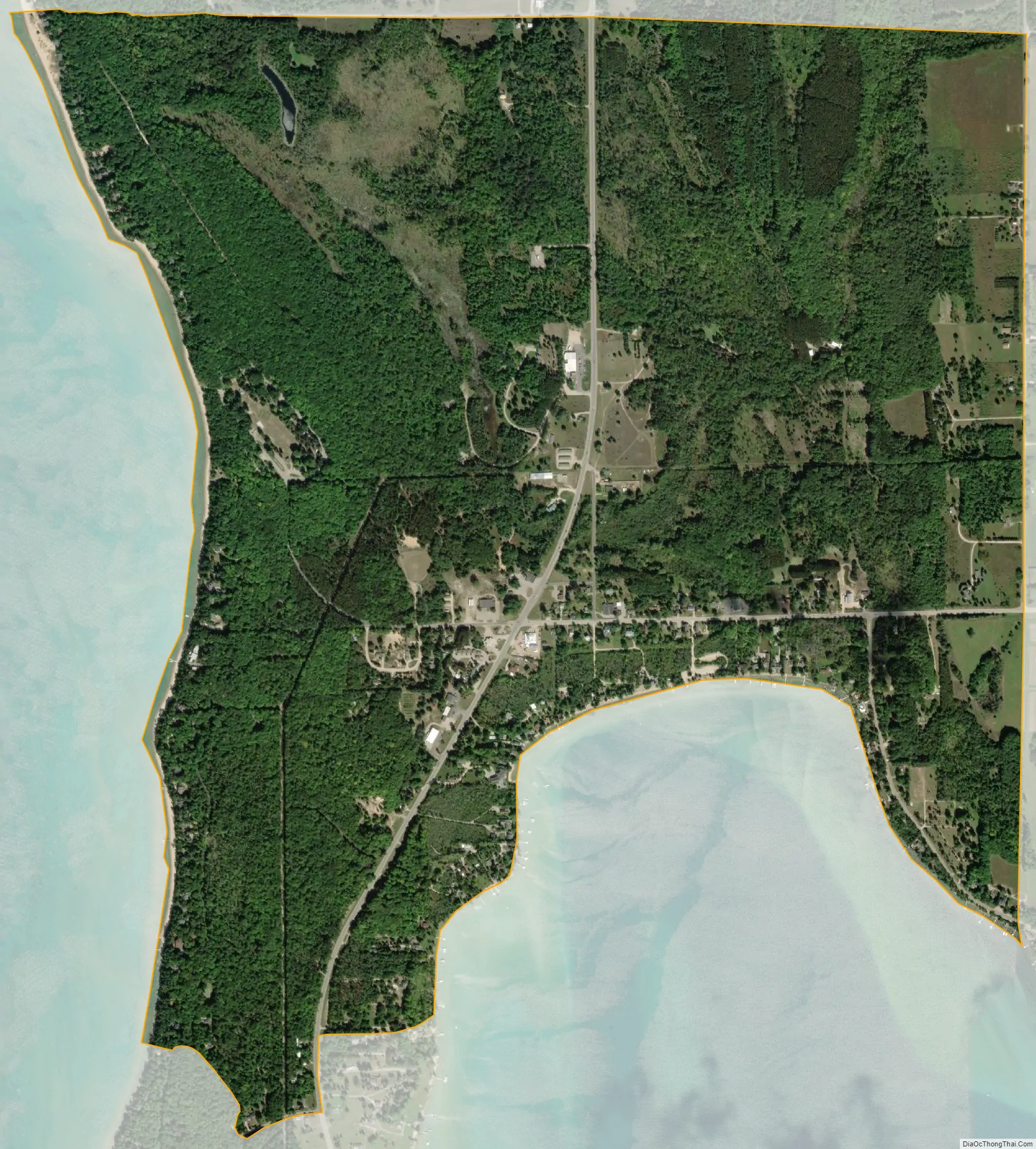
Eastport is an unincorporated community and census-designated place (CDP) located in Antrim County in the U.S. state of Michigan. The population of the CDP was 206 at the 2020 census. It is located in Torch Lake Township, and lies on an isthmus between Torch Lake and Grand Traverse Bay.
| Name: | Eastport CDP |
|---|---|
| LSAD Code: | 57 |
| LSAD Description: | CDP (suffix) |
| State: | Michigan |
| County: | Antrim County |
| Elevation: | 607 ft (185 m) |
| Total Area: | 2.00 sq mi (5.18 km²) |
| Land Area: | 1.99 sq mi (5.15 km²) |
| Water Area: | 0.01 sq mi (0.03 km²) |
| Total Population: | 206 |
| Population Density: | 103.21/sq mi (39.85/km²) |
| Area code: | 231 |
| FIPS code: | 2624300 |
| GNISfeature ID: | 625301 |
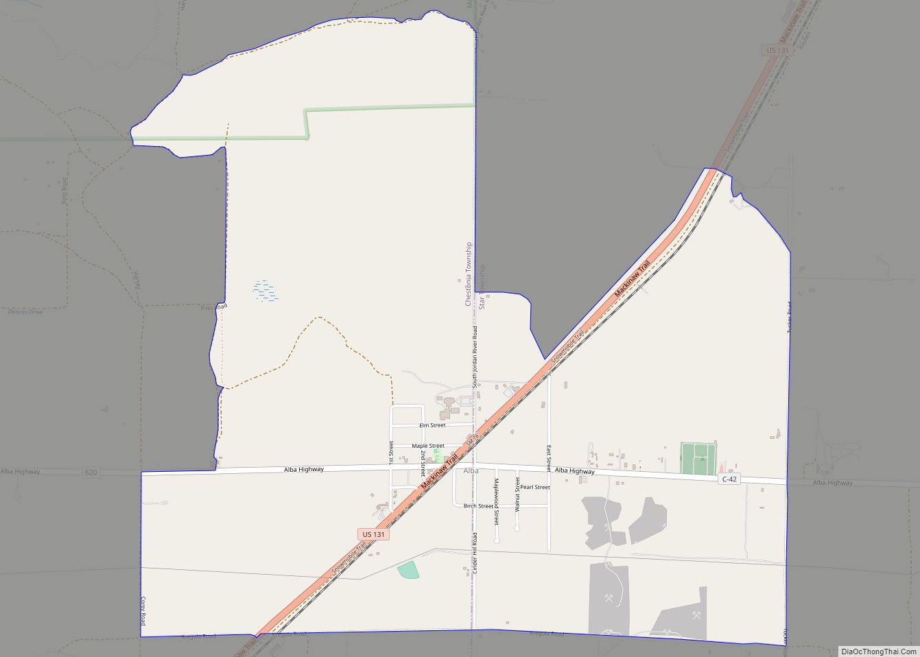
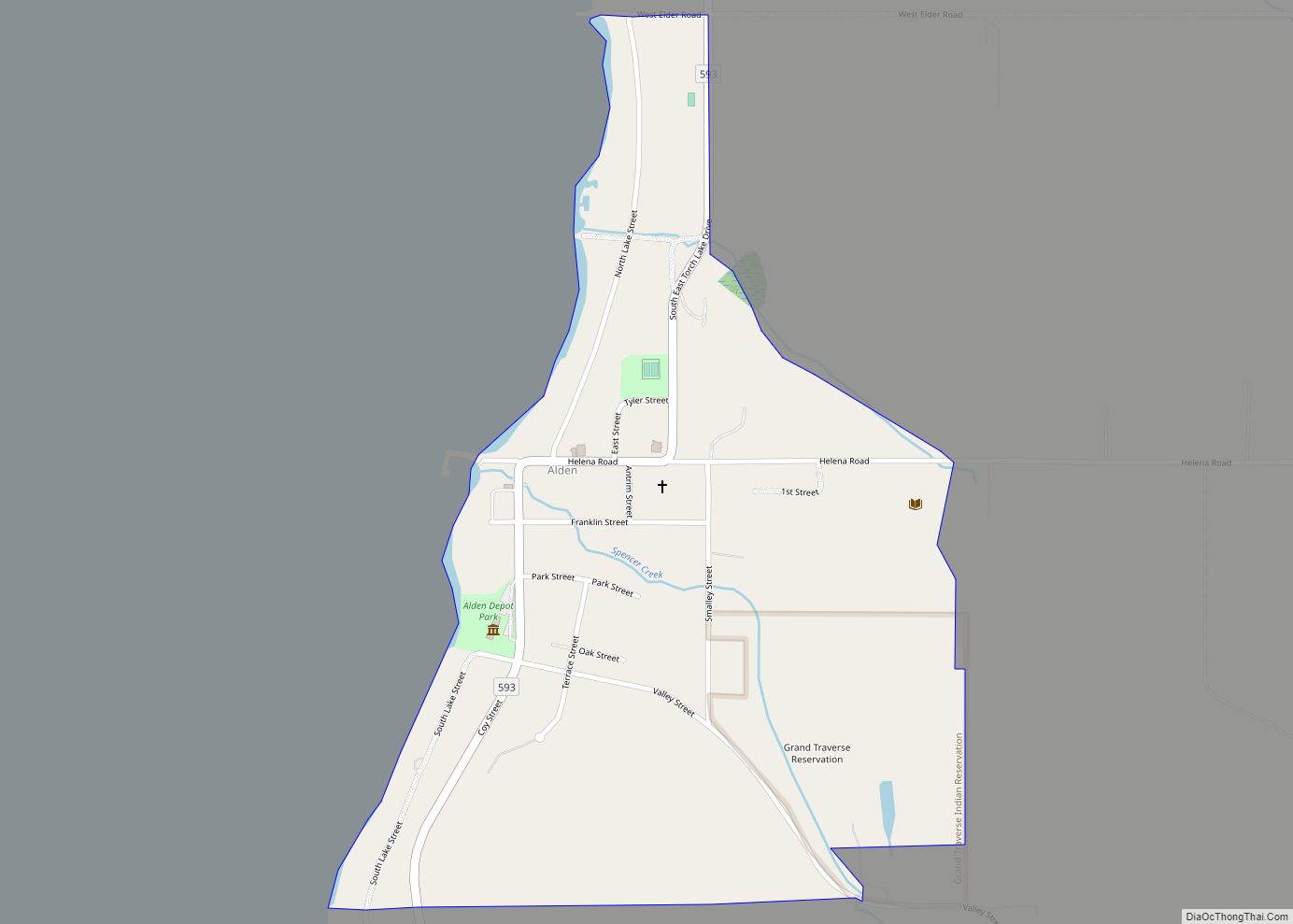
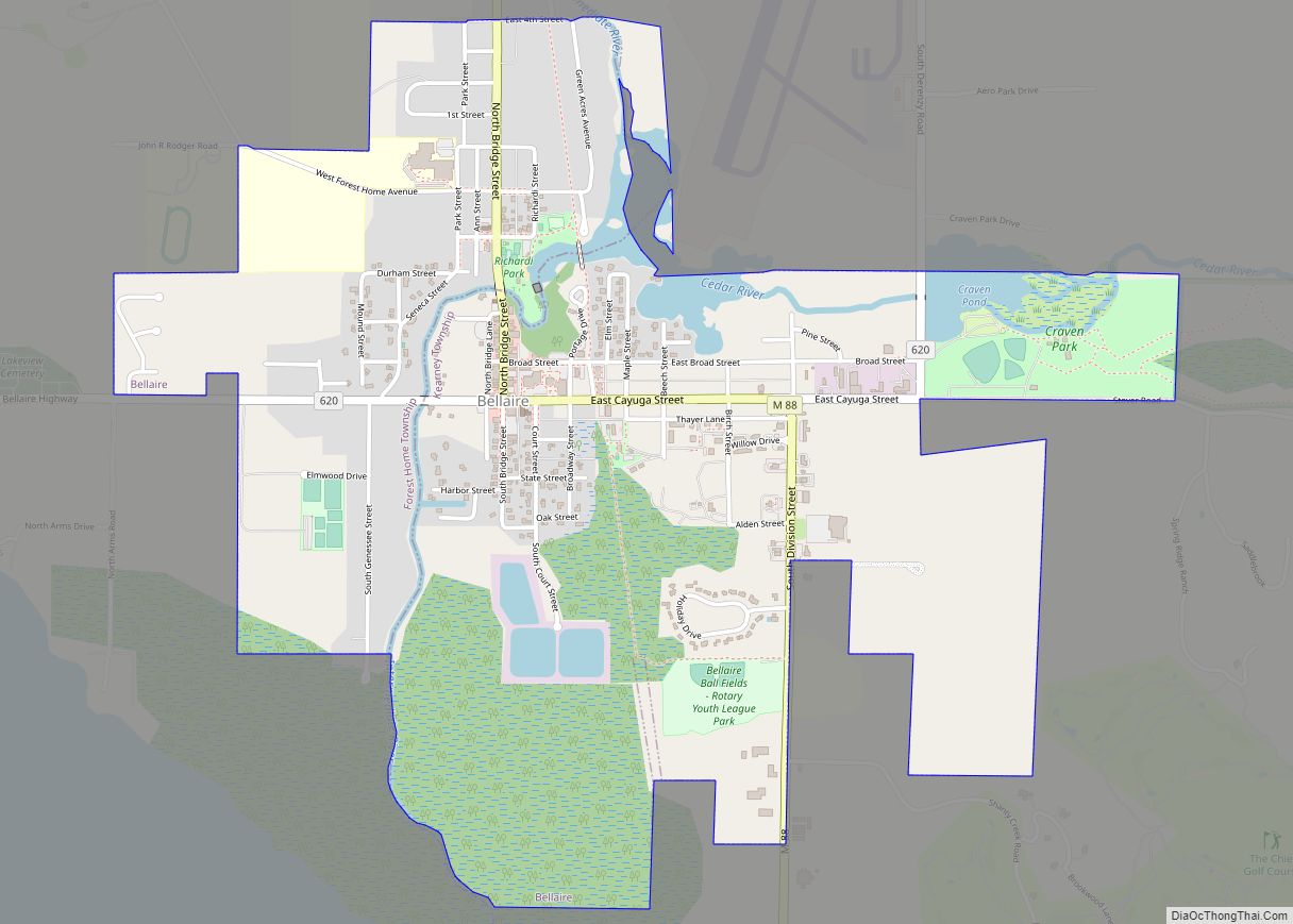
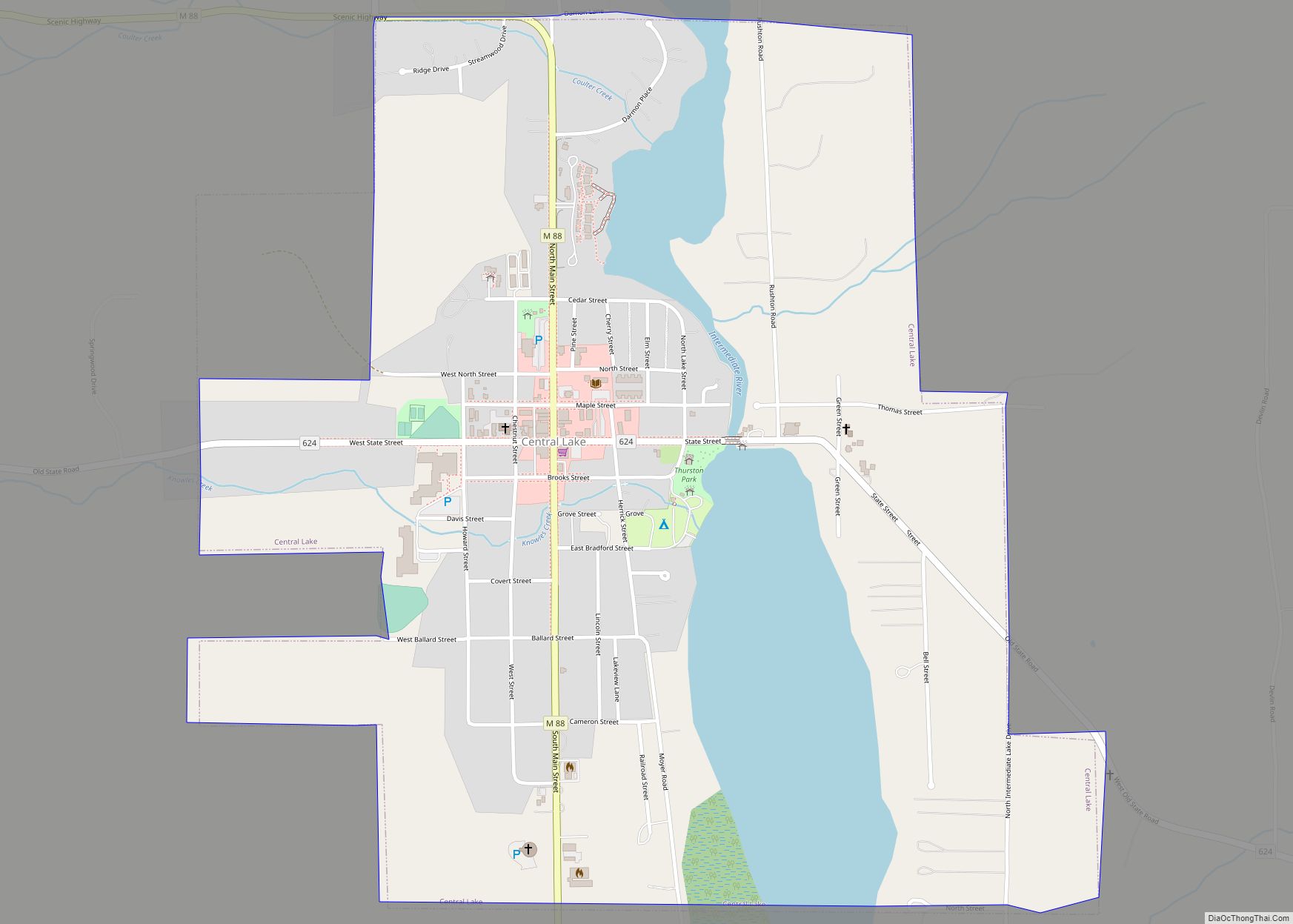
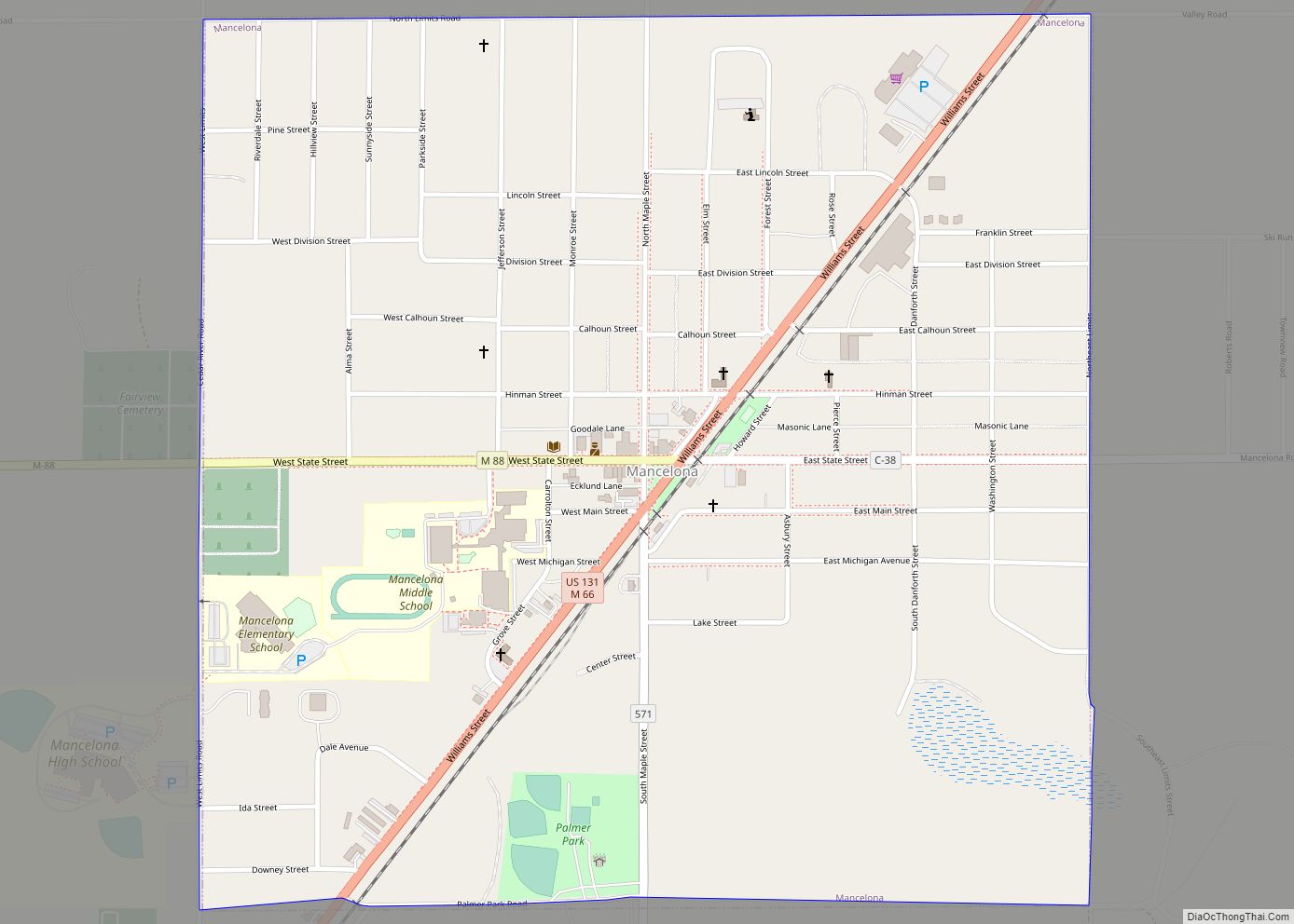
Online Interactive Map
Click on ![]() to view map in "full screen" mode.
to view map in "full screen" mode.
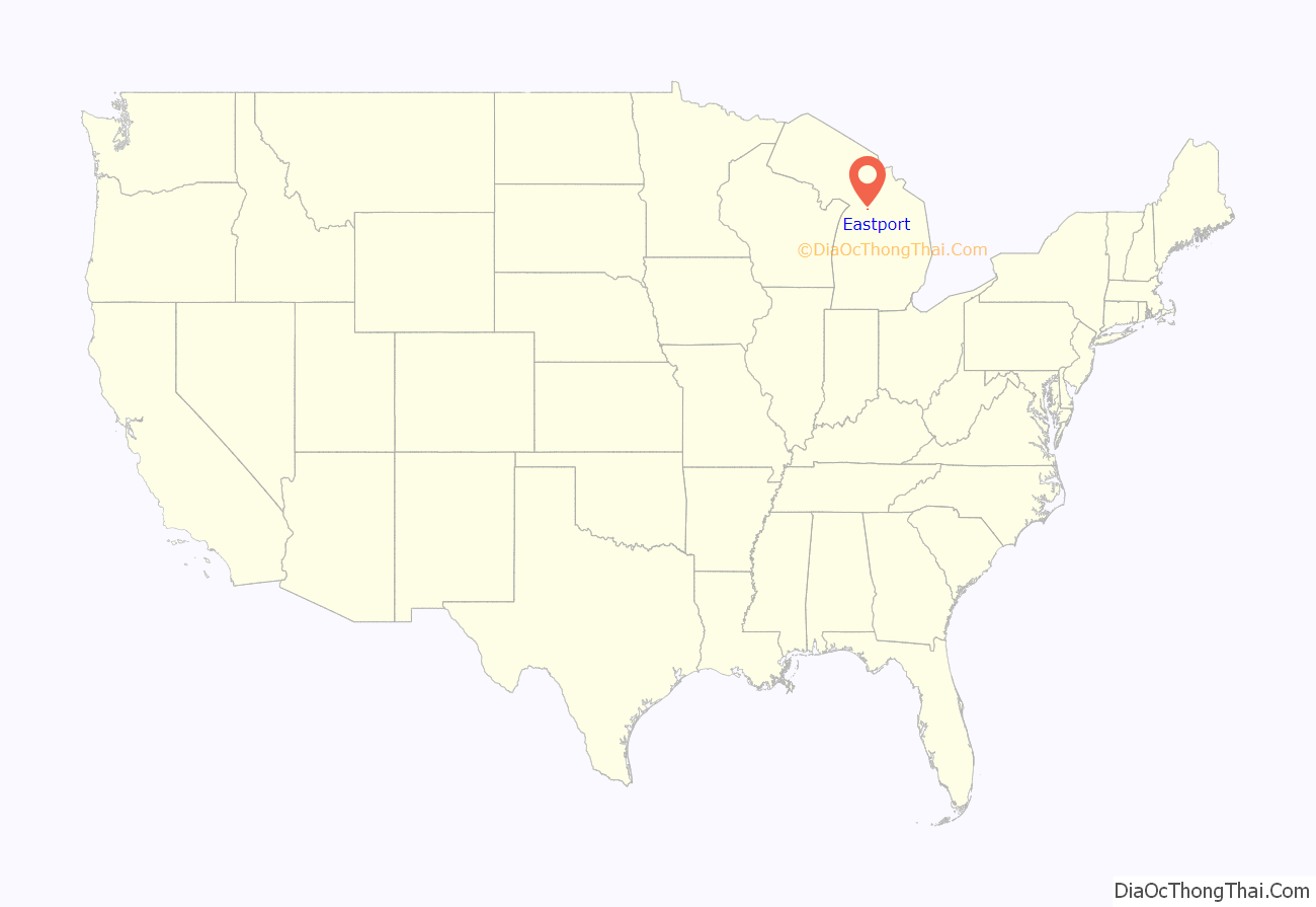
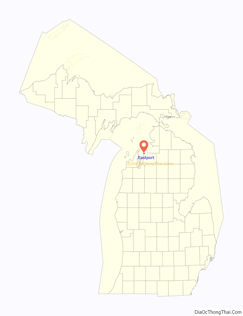
Eastport location map. Where is Eastport CDP?
History
The area was settled by lumberman Murdock Andress in 1863, and a hotel was built in 1869. A post office named Wilson opened on March 29, 1872. It was renamed Eastport on September 8, 1873. The community became a popular shipping area along the east coast Grand Traverse Bay and the northern shores of Torch Lake. The name Eastport was derived from its eastern location along the bay, which was directly across the bay from Northport.
The community of Eastport was listed as a newly-organized census-designated place for the 2010 census, meaning it now has officially defined boundaries and population statistics for the first time.
Eastport Road Map
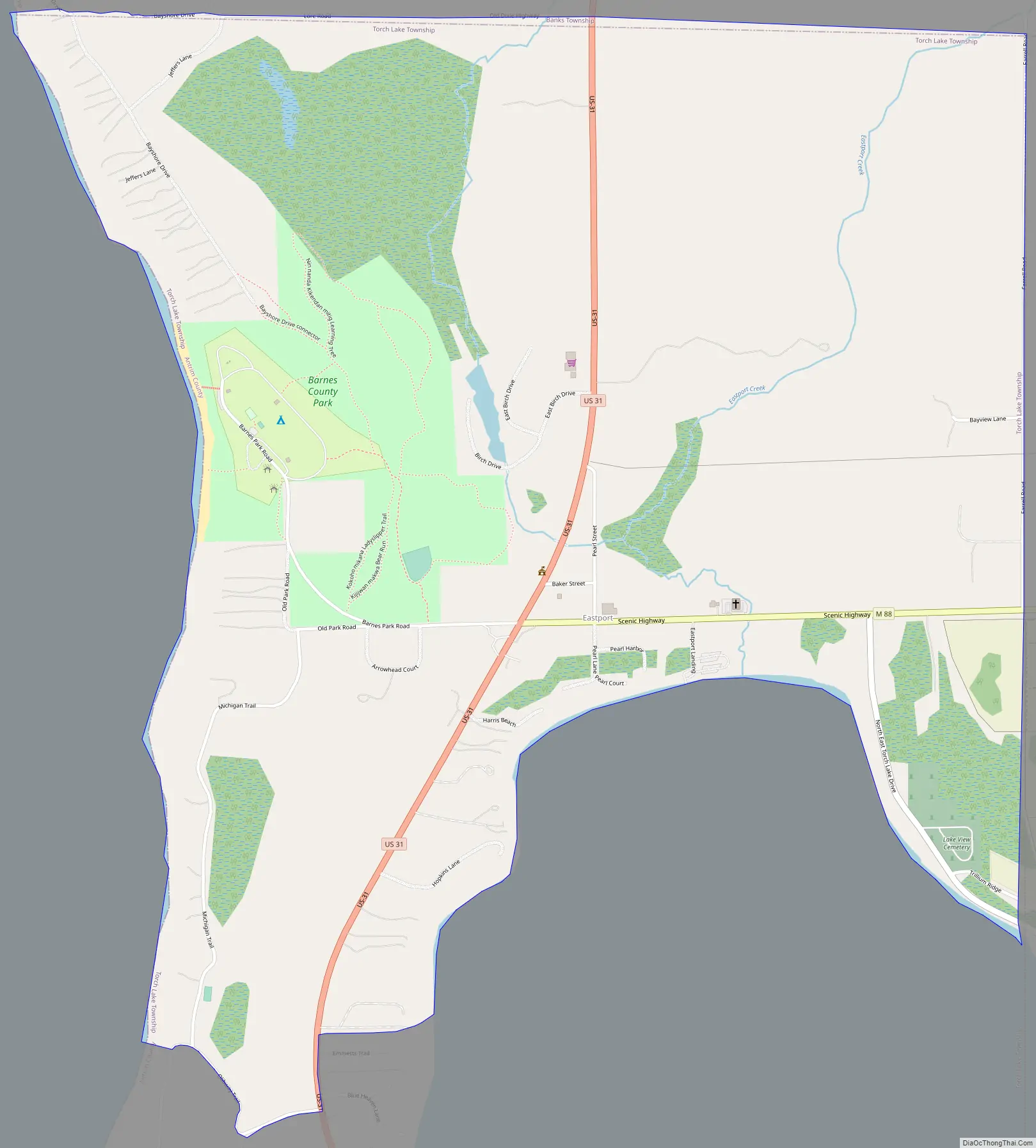
Eastport city Satellite Map
Geography
According to the U.S. Census Bureau, the Eastport CDP has a total area of 2.00 square miles (5.18 km), of which 1.99 square miles (5.15 km) is land and 0.01 square miles (0.03 km) (0.50%) is water.
See also
Map of Michigan State and its subdivision:- Alcona
- Alger
- Allegan
- Alpena
- Antrim
- Arenac
- Baraga
- Barry
- Bay
- Benzie
- Berrien
- Branch
- Calhoun
- Cass
- Charlevoix
- Cheboygan
- Chippewa
- Clare
- Clinton
- Crawford
- Delta
- Dickinson
- Eaton
- Emmet
- Genesee
- Gladwin
- Gogebic
- Grand Traverse
- Gratiot
- Hillsdale
- Houghton
- Huron
- Ingham
- Ionia
- Iosco
- Iron
- Isabella
- Jackson
- Kalamazoo
- Kalkaska
- Kent
- Keweenaw
- Lake
- Lake Hurron
- Lake Michigan
- Lake St. Clair
- Lake Superior
- Lapeer
- Leelanau
- Lenawee
- Livingston
- Luce
- Mackinac
- Macomb
- Manistee
- Marquette
- Mason
- Mecosta
- Menominee
- Midland
- Missaukee
- Monroe
- Montcalm
- Montmorency
- Muskegon
- Newaygo
- Oakland
- Oceana
- Ogemaw
- Ontonagon
- Osceola
- Oscoda
- Otsego
- Ottawa
- Presque Isle
- Roscommon
- Saginaw
- Saint Clair
- Saint Joseph
- Sanilac
- Schoolcraft
- Shiawassee
- Tuscola
- Van Buren
- Washtenaw
- Wayne
- Wexford
- Alabama
- Alaska
- Arizona
- Arkansas
- California
- Colorado
- Connecticut
- Delaware
- District of Columbia
- Florida
- Georgia
- Hawaii
- Idaho
- Illinois
- Indiana
- Iowa
- Kansas
- Kentucky
- Louisiana
- Maine
- Maryland
- Massachusetts
- Michigan
- Minnesota
- Mississippi
- Missouri
- Montana
- Nebraska
- Nevada
- New Hampshire
- New Jersey
- New Mexico
- New York
- North Carolina
- North Dakota
- Ohio
- Oklahoma
- Oregon
- Pennsylvania
- Rhode Island
- South Carolina
- South Dakota
- Tennessee
- Texas
- Utah
- Vermont
- Virginia
- Washington
- West Virginia
- Wisconsin
- Wyoming