Farmington is a city in Oakland County in the U.S. state of Michigan. It is a northern suburb of Metro Detroit. As of the 2010 census, the population was 10,372.
It is surrounded by Farmington Hills, except for a small portion bordered by Livonia to the south. Since 2009, the city’s downtown has been the center of an extensive renovation and remodeling featuring a refacing or rebuilding of many buildings on Grand River Avenue, as well as brick paver sidewalks, the Farmington Pavilion, new lighting, and landscaping. The area is known for its historic downtown, elegant Victorian-style homes, and one of Michigan’s top rated public school systems, Farmington Public Schools. In 2007 CNNMoney.com listed Farmington as number 55 in its Best Places to Live survey. Farmington was also ranked 27th on the list for Best to Live in 2013, citing nearly US$3 million in additional city renovations and development, bumping its rank up.
| Name: | Farmington city |
|---|---|
| LSAD Code: | 25 |
| LSAD Description: | city (suffix) |
| State: | Michigan |
| County: | Oakland County |
| Founded: | 1824 |
| Incorporated: | 1867 (village) 1926 (city) |
| Elevation: | 751 ft (229 m) |
| Land Area: | 2.66 sq mi (6.90 km²) |
| Water Area: | 0.00 sq mi (0.00 km²) |
| Population Density: | 4,354.86/sq mi (1,681.33/km²) |
| Area code: | 248 |
| FIPS code: | 2627380 |
| GNISfeature ID: | 0625837 |
Online Interactive Map
Click on ![]() to view map in "full screen" mode.
to view map in "full screen" mode.
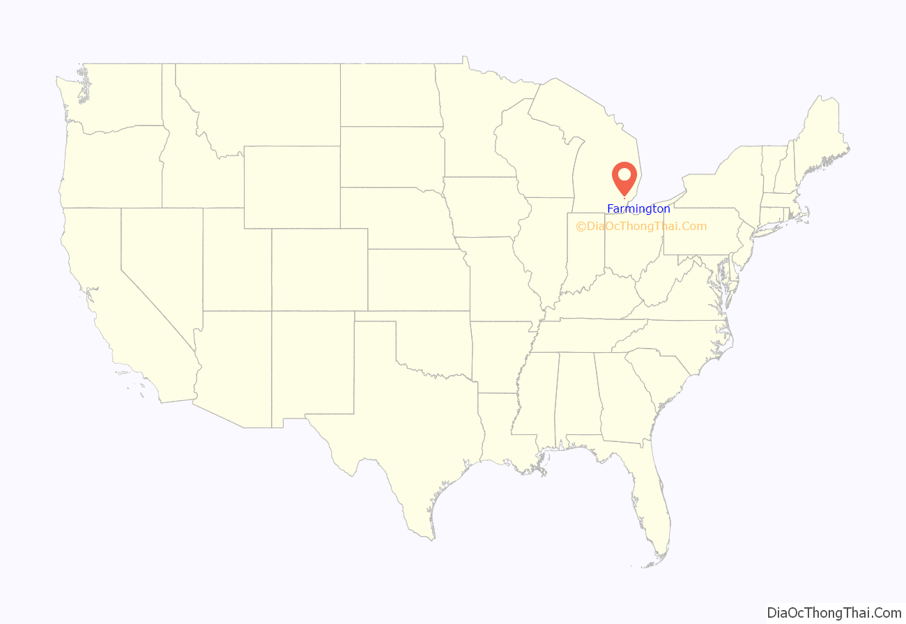
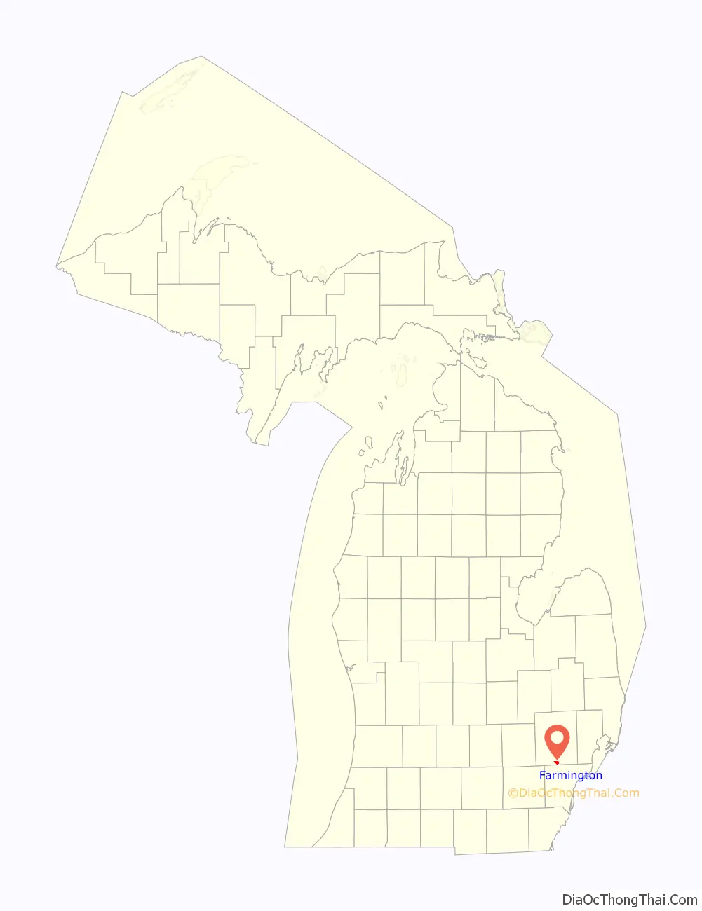
Farmington location map. Where is Farmington city?
History
Farmington was the site of three Native American trails – the Orchard Lake Trail, the Grand River Trail, and the Shiawassee Trail.
Farmington was founded in 1824 by Arthur Power. Like many Oakland County pioneers, he hailed from the state of New York. Power was a Quaker, as were the settlers who joined him, and the town was first known as Quakertown. In 1826 the name Farmington was officially chosen because it was the name of Power’s hometown, Farmington, New York.
The name Farmington, which properly refers to the 2.7-square-mile (7.0 km) municipality incorporated in the early 19th century, is sometimes erroneously used to refer to the 33.3-square-mile (86 km) neighboring city of Farmington Hills (Farmington Township until 1973), which surrounds it.
In 1976 the National Register of Historic Places declared part of the city the Farmington Historic District.
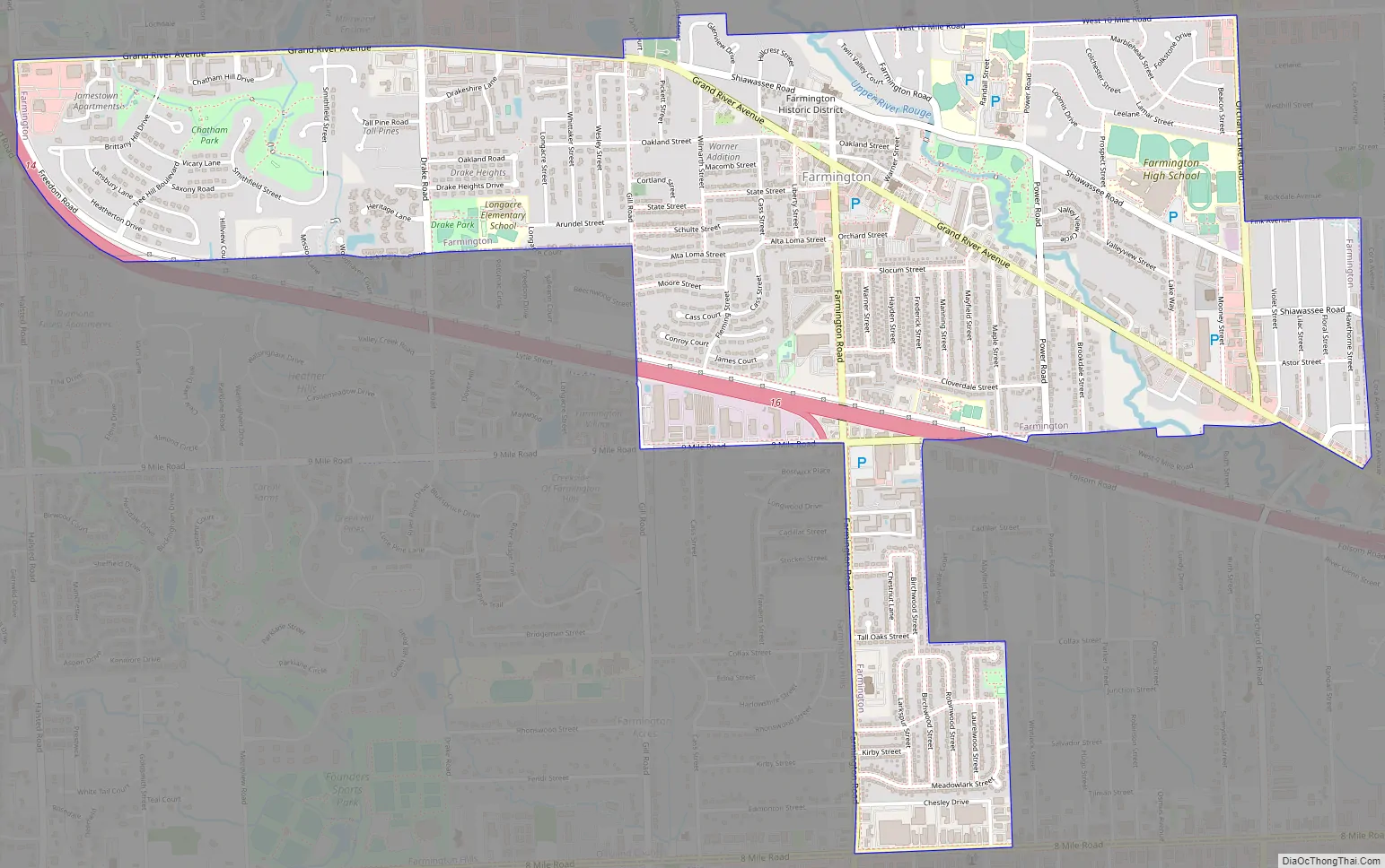
Farmington Road Map
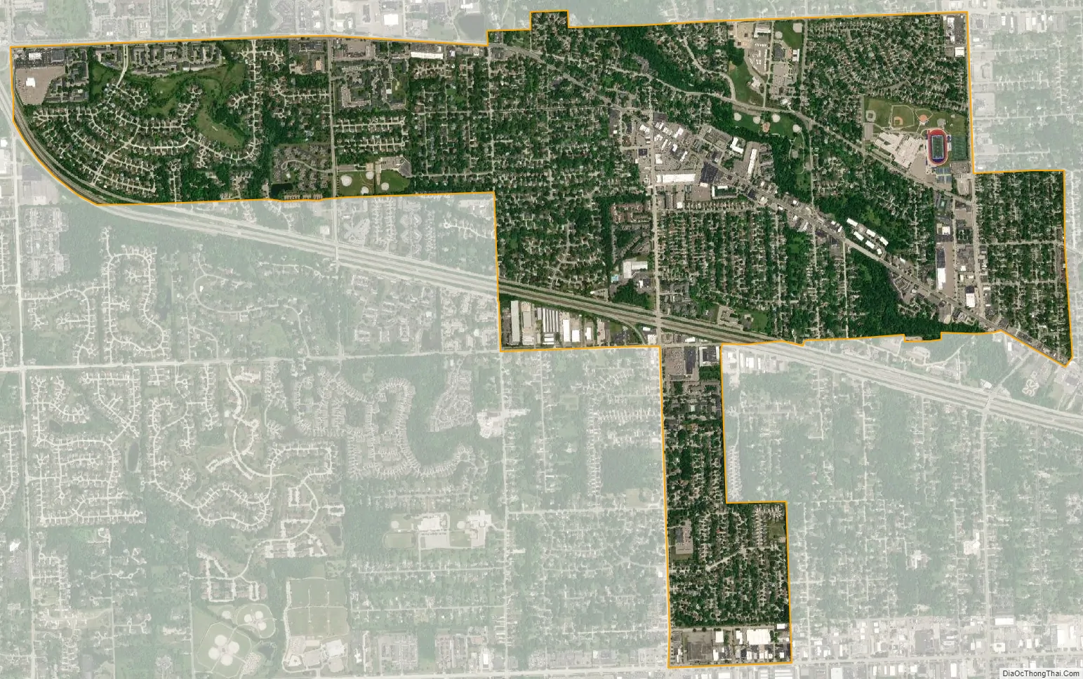
Farmington city Satellite Map
Geography
According to the United States Census Bureau, the city has a total area of 2.66 square miles (6.89 km), all of it land.
See also
Map of Michigan State and its subdivision:- Alcona
- Alger
- Allegan
- Alpena
- Antrim
- Arenac
- Baraga
- Barry
- Bay
- Benzie
- Berrien
- Branch
- Calhoun
- Cass
- Charlevoix
- Cheboygan
- Chippewa
- Clare
- Clinton
- Crawford
- Delta
- Dickinson
- Eaton
- Emmet
- Genesee
- Gladwin
- Gogebic
- Grand Traverse
- Gratiot
- Hillsdale
- Houghton
- Huron
- Ingham
- Ionia
- Iosco
- Iron
- Isabella
- Jackson
- Kalamazoo
- Kalkaska
- Kent
- Keweenaw
- Lake
- Lake Hurron
- Lake Michigan
- Lake St. Clair
- Lake Superior
- Lapeer
- Leelanau
- Lenawee
- Livingston
- Luce
- Mackinac
- Macomb
- Manistee
- Marquette
- Mason
- Mecosta
- Menominee
- Midland
- Missaukee
- Monroe
- Montcalm
- Montmorency
- Muskegon
- Newaygo
- Oakland
- Oceana
- Ogemaw
- Ontonagon
- Osceola
- Oscoda
- Otsego
- Ottawa
- Presque Isle
- Roscommon
- Saginaw
- Saint Clair
- Saint Joseph
- Sanilac
- Schoolcraft
- Shiawassee
- Tuscola
- Van Buren
- Washtenaw
- Wayne
- Wexford
- Alabama
- Alaska
- Arizona
- Arkansas
- California
- Colorado
- Connecticut
- Delaware
- District of Columbia
- Florida
- Georgia
- Hawaii
- Idaho
- Illinois
- Indiana
- Iowa
- Kansas
- Kentucky
- Louisiana
- Maine
- Maryland
- Massachusetts
- Michigan
- Minnesota
- Mississippi
- Missouri
- Montana
- Nebraska
- Nevada
- New Hampshire
- New Jersey
- New Mexico
- New York
- North Carolina
- North Dakota
- Ohio
- Oklahoma
- Oregon
- Pennsylvania
- Rhode Island
- South Carolina
- South Dakota
- Tennessee
- Texas
- Utah
- Vermont
- Virginia
- Washington
- West Virginia
- Wisconsin
- Wyoming


