Fowler is a village in Clinton County in the U.S. state of Michigan. The population was 1,226 at the 2020 census. The village is located within Dallas Township.
| Name: | Fowler village |
|---|---|
| LSAD Code: | 47 |
| LSAD Description: | village (suffix) |
| State: | Michigan |
| County: | Clinton County |
| Incorporated: | 1885 |
| Elevation: | 745 ft (227 m) |
| Total Area: | 1.31 sq mi (3.39 km²) |
| Land Area: | 1.28 sq mi (3.32 km²) |
| Water Area: | 0.03 sq mi (0.07 km²) |
| Total Population: | 1,226 |
| Population Density: | 955.57/sq mi (369.05/km²) |
| Area code: | 989 |
| FIPS code: | 2630040 |
| GNISfeature ID: | 2398910 |
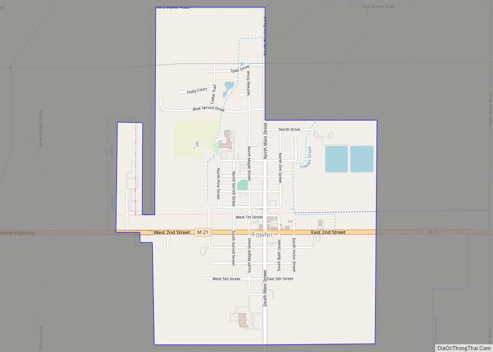
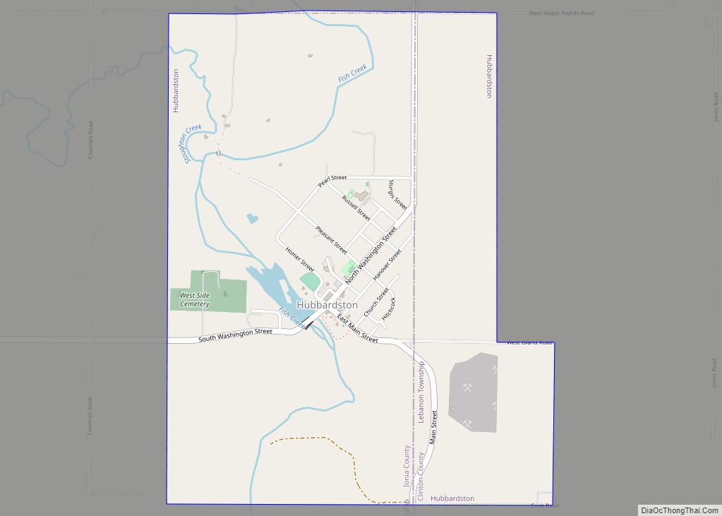
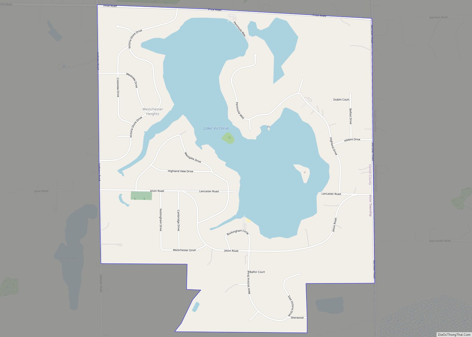
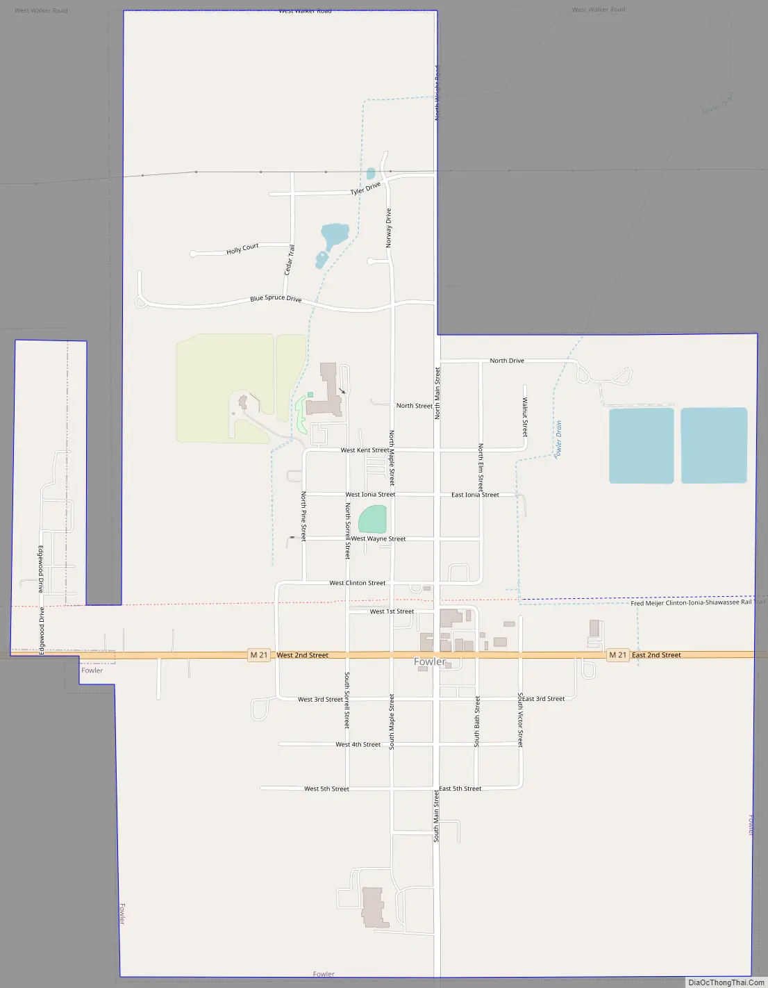
Online Interactive Map
Click on ![]() to view map in "full screen" mode.
to view map in "full screen" mode.
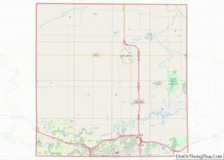
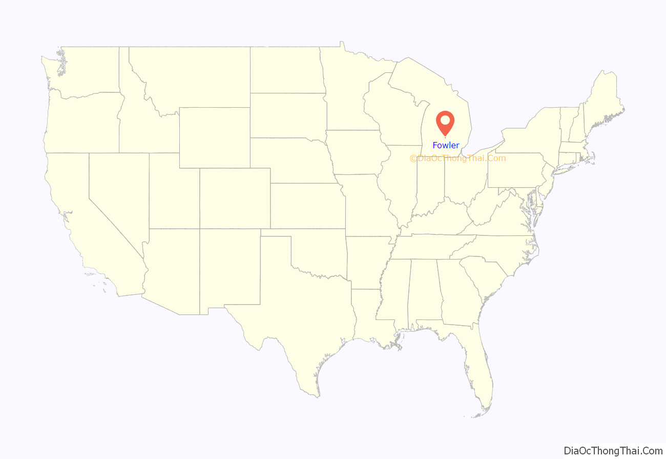
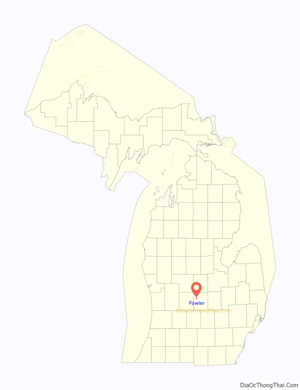
Fowler location map. Where is Fowler village?
History
Originally called “Dallas”, Fowler was created when Robert Highman, Chief Engineer of the Detroit, Grand Haven, and Milwaukee Railroad, and E.A Wales acquired a tract of land along the railroad right-of-way in 1857. The Detroit, Grand Haven, and Milwaukee railroad completed the rail line though the area in July and August of 1857. Dallas was later changed to Isabella and subsequently Fowler. A few years after the founding of Dallas, the town had little economic growth and was subsequently moved to a tract of land 1/10 of a mile west of the original tract, owned by John N. Fowler and in 1869 the name was changed to “Fowler”. The village was originally settled in a swampy area and the move was driven by the lack of economic growth. In 1885, the town was incorporated as a village in Clinton County, reportedly during a high growth lumber boom.
In 1905, massive flooding in the area washed out a culvert three and a half miles west of town. A Grand Trunk work train was sent to repair the culvert but plunged into the creek, killing five men.
Fowler remains a small rural community, serving the needs of the local farming community and as a satellite community to Lansing.
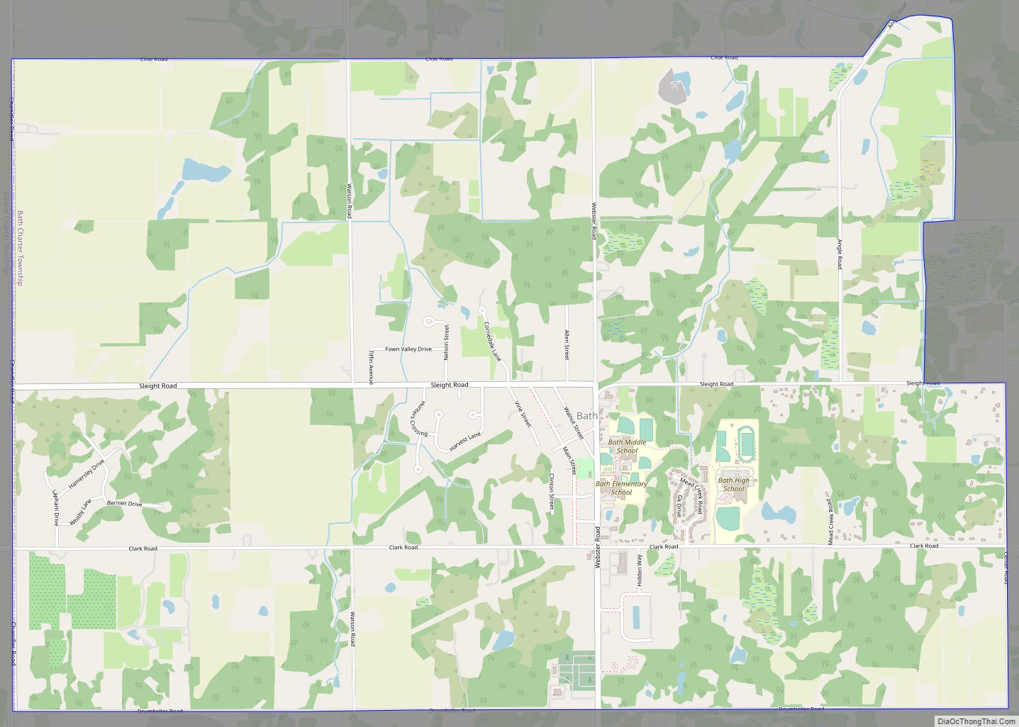
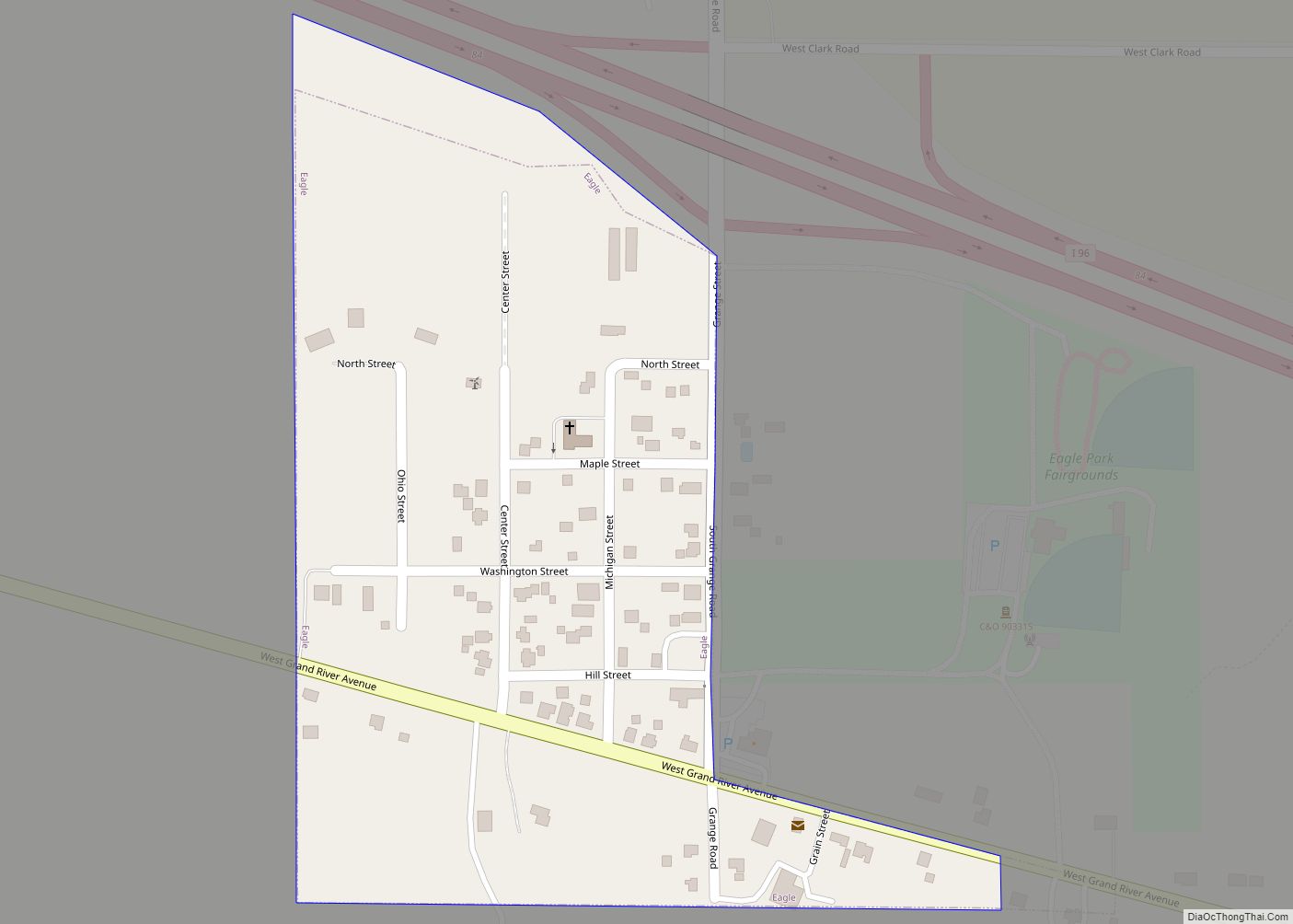
Fowler Road Map
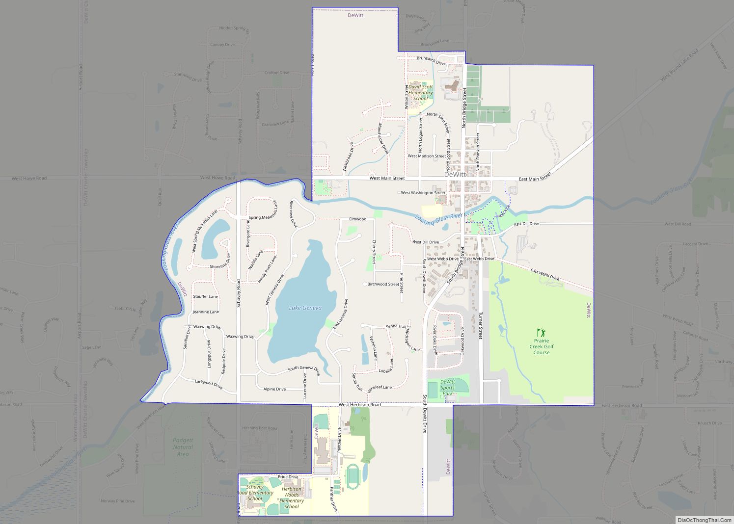
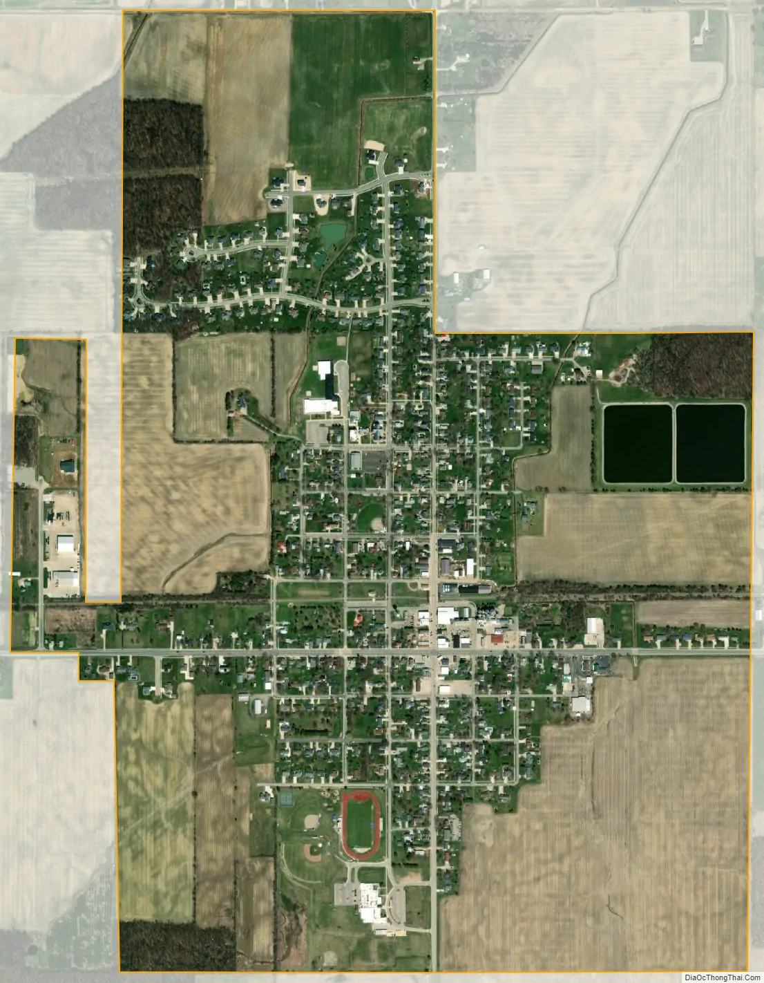
Fowler city Satellite Map
Geography
According to the United States Census Bureau, the village has a total area of 1.35 square miles (3.50 km), of which 1.32 square miles (3.42 km) is land and 0.03 square miles (0.08 km) (2.22%) is water.
The village is located within Dallas Township on M-21 about 10 miles (16 km) west of St. Johns and about 50 miles (80 km) east of Grand Rapids. It is about 20 miles (32 km) north of I-96 via county roads. The village is served by the 48835 ZIP Code.
See also
Map of Michigan State and its subdivision:- Alcona
- Alger
- Allegan
- Alpena
- Antrim
- Arenac
- Baraga
- Barry
- Bay
- Benzie
- Berrien
- Branch
- Calhoun
- Cass
- Charlevoix
- Cheboygan
- Chippewa
- Clare
- Clinton
- Crawford
- Delta
- Dickinson
- Eaton
- Emmet
- Genesee
- Gladwin
- Gogebic
- Grand Traverse
- Gratiot
- Hillsdale
- Houghton
- Huron
- Ingham
- Ionia
- Iosco
- Iron
- Isabella
- Jackson
- Kalamazoo
- Kalkaska
- Kent
- Keweenaw
- Lake
- Lake Hurron
- Lake Michigan
- Lake St. Clair
- Lake Superior
- Lapeer
- Leelanau
- Lenawee
- Livingston
- Luce
- Mackinac
- Macomb
- Manistee
- Marquette
- Mason
- Mecosta
- Menominee
- Midland
- Missaukee
- Monroe
- Montcalm
- Montmorency
- Muskegon
- Newaygo
- Oakland
- Oceana
- Ogemaw
- Ontonagon
- Osceola
- Oscoda
- Otsego
- Ottawa
- Presque Isle
- Roscommon
- Saginaw
- Saint Clair
- Saint Joseph
- Sanilac
- Schoolcraft
- Shiawassee
- Tuscola
- Van Buren
- Washtenaw
- Wayne
- Wexford
- Alabama
- Alaska
- Arizona
- Arkansas
- California
- Colorado
- Connecticut
- Delaware
- District of Columbia
- Florida
- Georgia
- Hawaii
- Idaho
- Illinois
- Indiana
- Iowa
- Kansas
- Kentucky
- Louisiana
- Maine
- Maryland
- Massachusetts
- Michigan
- Minnesota
- Mississippi
- Missouri
- Montana
- Nebraska
- Nevada
- New Hampshire
- New Jersey
- New Mexico
- New York
- North Carolina
- North Dakota
- Ohio
- Oklahoma
- Oregon
- Pennsylvania
- Rhode Island
- South Carolina
- South Dakota
- Tennessee
- Texas
- Utah
- Vermont
- Virginia
- Washington
- West Virginia
- Wisconsin
- Wyoming