Franklin is a village in Southfield Township, Oakland County in the U.S. state of Michigan. The population was 3,150 at the 2010 census. The community is known for large, estate-style homes. The downtown was designated as an historic district, the first in Michigan, and listed on the National Register of Historic Places in 1969. The Franklin Cider Mill is a visitor attraction.
| Name: | Franklin village |
|---|---|
| LSAD Code: | 47 |
| LSAD Description: | village (suffix) |
| State: | Michigan |
| County: | Oakland County |
| Incorporated: | 1953 |
| Elevation: | 833 ft (254 m) |
| Land Area: | 2.66 sq mi (6.90 km²) |
| Water Area: | 0.00 sq mi (0.00 km²) |
| Population Density: | 1,178.75/sq mi (455.08/km²) |
| Area code: | 248 |
| FIPS code: | 2630340 |
| GNISfeature ID: | 0626409 |
Online Interactive Map
Click on ![]() to view map in "full screen" mode.
to view map in "full screen" mode.
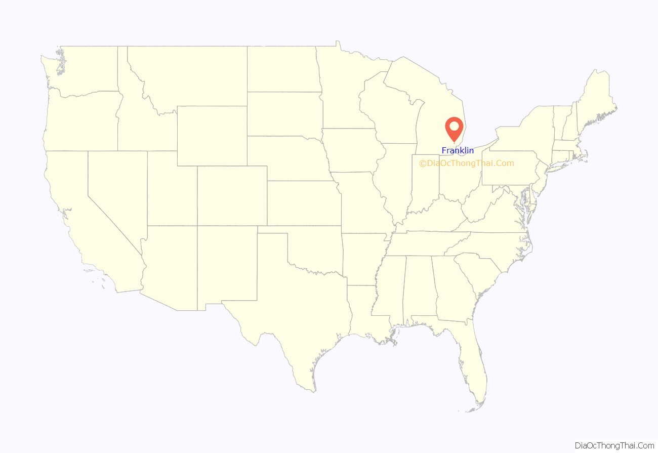
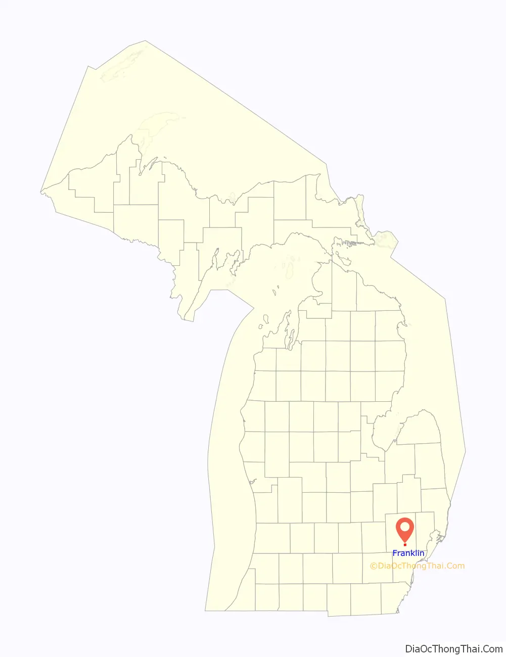
Franklin location map. Where is Franklin village?
History
The community was founded in 1825 by Elijah Bullock and other European-American settlers; it was named after Benjamin Franklin, a Founding Father of the United States, in 1831. By 1830, a business district formed. The village has a unique collection of historical structures in original condition that is unusual for suburban Detroit. The village was incorporated in 1953.
Historical markers
In 1960 a historical marker was erected that reads:
Another marker was installed in front of Franklin Village School:
This building closed as a public school in 1979. In 1988, members of Metro Detroit’s Muslim community bought the building and adapted it as Huda School and Montessori, a K-8 Islamic parochial school. On Saturdays the building houses the related Dar-al-Huda Islamic Saturday school.
In 2006, the Muslim community raised $3.6 million to fund renovation and expansion of the school. In the summer of 2007, the Monahan Construction Company renovated the school. In September 2007, the community raised another $1 million to continue the project’s second phase, which was completed in 2008. Franklin also the hometown Farmbrook Free Press, a small publication.
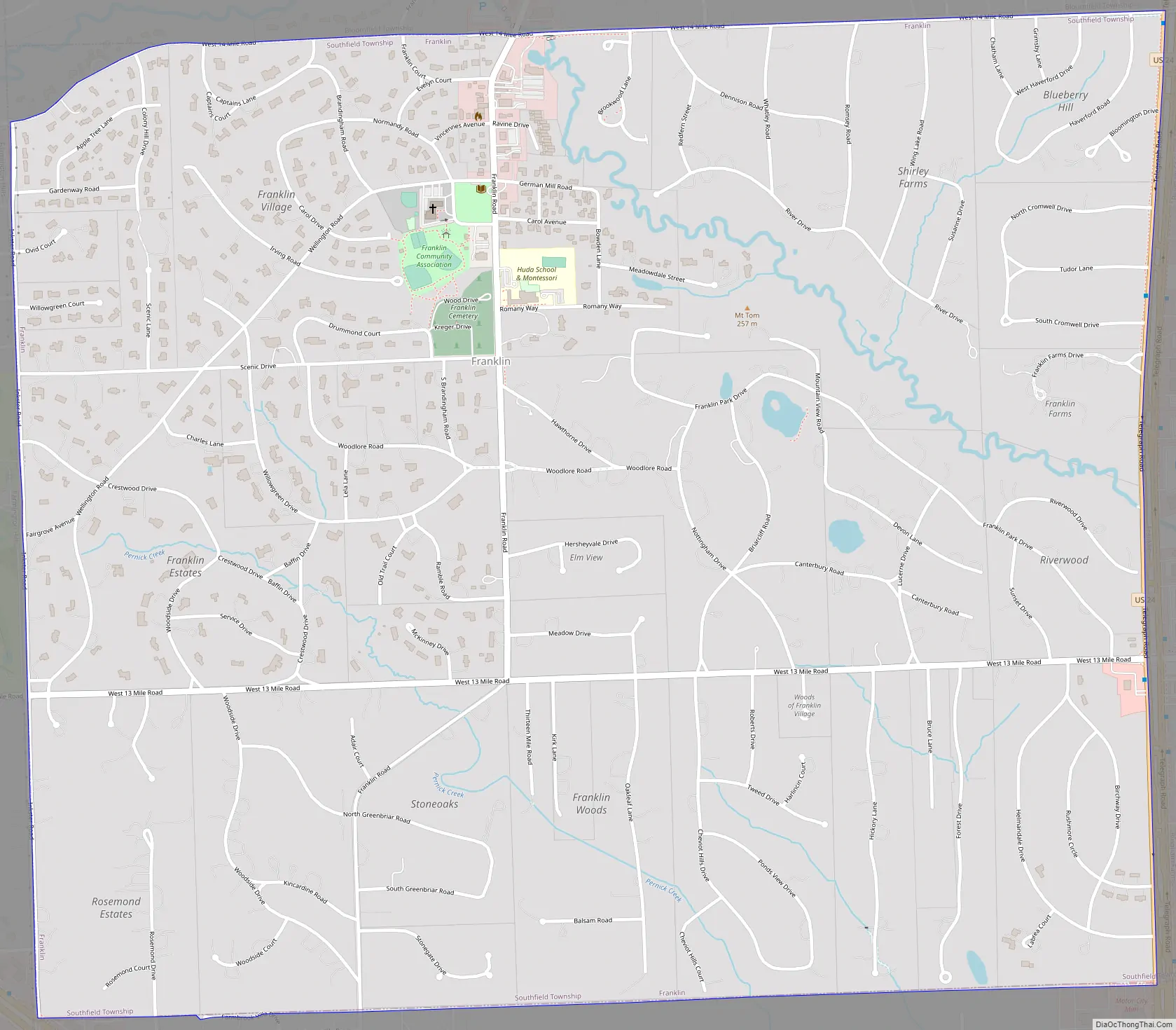
Franklin Road Map
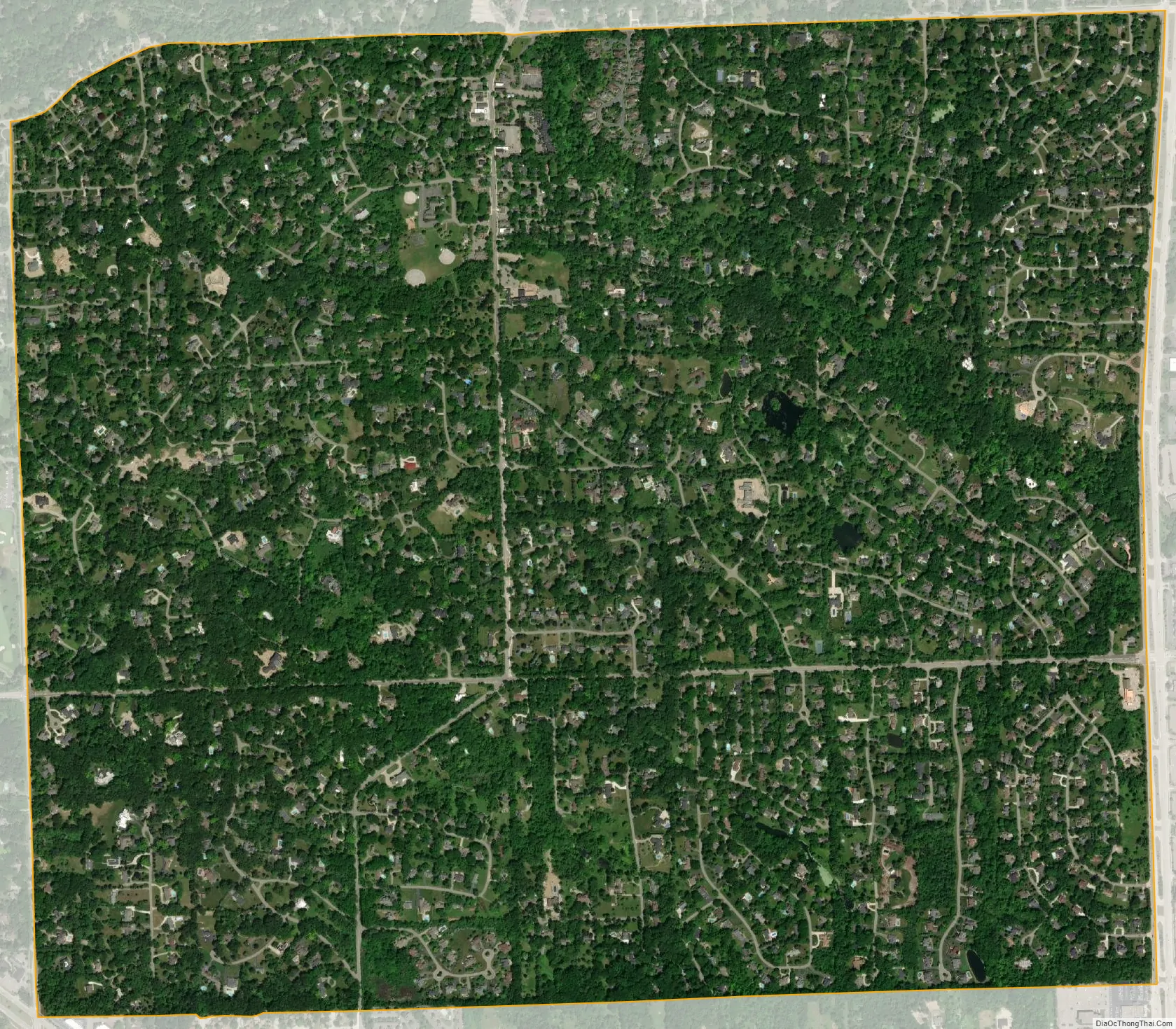
Franklin city Satellite Map
Geography
According to the United States Census Bureau, the village has a total area of 2.66 square miles (6.89 km), all land.
See also
Map of Michigan State and its subdivision:- Alcona
- Alger
- Allegan
- Alpena
- Antrim
- Arenac
- Baraga
- Barry
- Bay
- Benzie
- Berrien
- Branch
- Calhoun
- Cass
- Charlevoix
- Cheboygan
- Chippewa
- Clare
- Clinton
- Crawford
- Delta
- Dickinson
- Eaton
- Emmet
- Genesee
- Gladwin
- Gogebic
- Grand Traverse
- Gratiot
- Hillsdale
- Houghton
- Huron
- Ingham
- Ionia
- Iosco
- Iron
- Isabella
- Jackson
- Kalamazoo
- Kalkaska
- Kent
- Keweenaw
- Lake
- Lake Hurron
- Lake Michigan
- Lake St. Clair
- Lake Superior
- Lapeer
- Leelanau
- Lenawee
- Livingston
- Luce
- Mackinac
- Macomb
- Manistee
- Marquette
- Mason
- Mecosta
- Menominee
- Midland
- Missaukee
- Monroe
- Montcalm
- Montmorency
- Muskegon
- Newaygo
- Oakland
- Oceana
- Ogemaw
- Ontonagon
- Osceola
- Oscoda
- Otsego
- Ottawa
- Presque Isle
- Roscommon
- Saginaw
- Saint Clair
- Saint Joseph
- Sanilac
- Schoolcraft
- Shiawassee
- Tuscola
- Van Buren
- Washtenaw
- Wayne
- Wexford
- Alabama
- Alaska
- Arizona
- Arkansas
- California
- Colorado
- Connecticut
- Delaware
- District of Columbia
- Florida
- Georgia
- Hawaii
- Idaho
- Illinois
- Indiana
- Iowa
- Kansas
- Kentucky
- Louisiana
- Maine
- Maryland
- Massachusetts
- Michigan
- Minnesota
- Mississippi
- Missouri
- Montana
- Nebraska
- Nevada
- New Hampshire
- New Jersey
- New Mexico
- New York
- North Carolina
- North Dakota
- Ohio
- Oklahoma
- Oregon
- Pennsylvania
- Rhode Island
- South Carolina
- South Dakota
- Tennessee
- Texas
- Utah
- Vermont
- Virginia
- Washington
- West Virginia
- Wisconsin
- Wyoming


