Gaastra is a city in Iron County in the U.S. state of Michigan. As of the 2010 census, the city population was 347, making it Michigan’s third-smallest incorporated city by population after Omer (259) and Lake Angelus (290).
| Name: | Gaastra city |
|---|---|
| LSAD Code: | 25 |
| LSAD Description: | city (suffix) |
| State: | Michigan |
| County: | Iron County |
| Elevation: | 1,621 ft (494 m) |
| Total Area: | 1.64 sq mi (4.24 km²) |
| Land Area: | 1.64 sq mi (4.24 km²) |
| Water Area: | 0.00 sq mi (0.00 km²) |
| Total Population: | 316 |
| Population Density: | 193.15/sq mi (74.60/km²) |
| ZIP code: | 49927 |
| Area code: | 906 |
| FIPS code: | 2631160 |
| GNISfeature ID: | 0626580 |
Online Interactive Map
Click on ![]() to view map in "full screen" mode.
to view map in "full screen" mode.
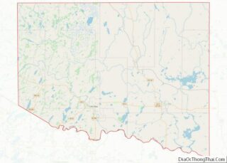
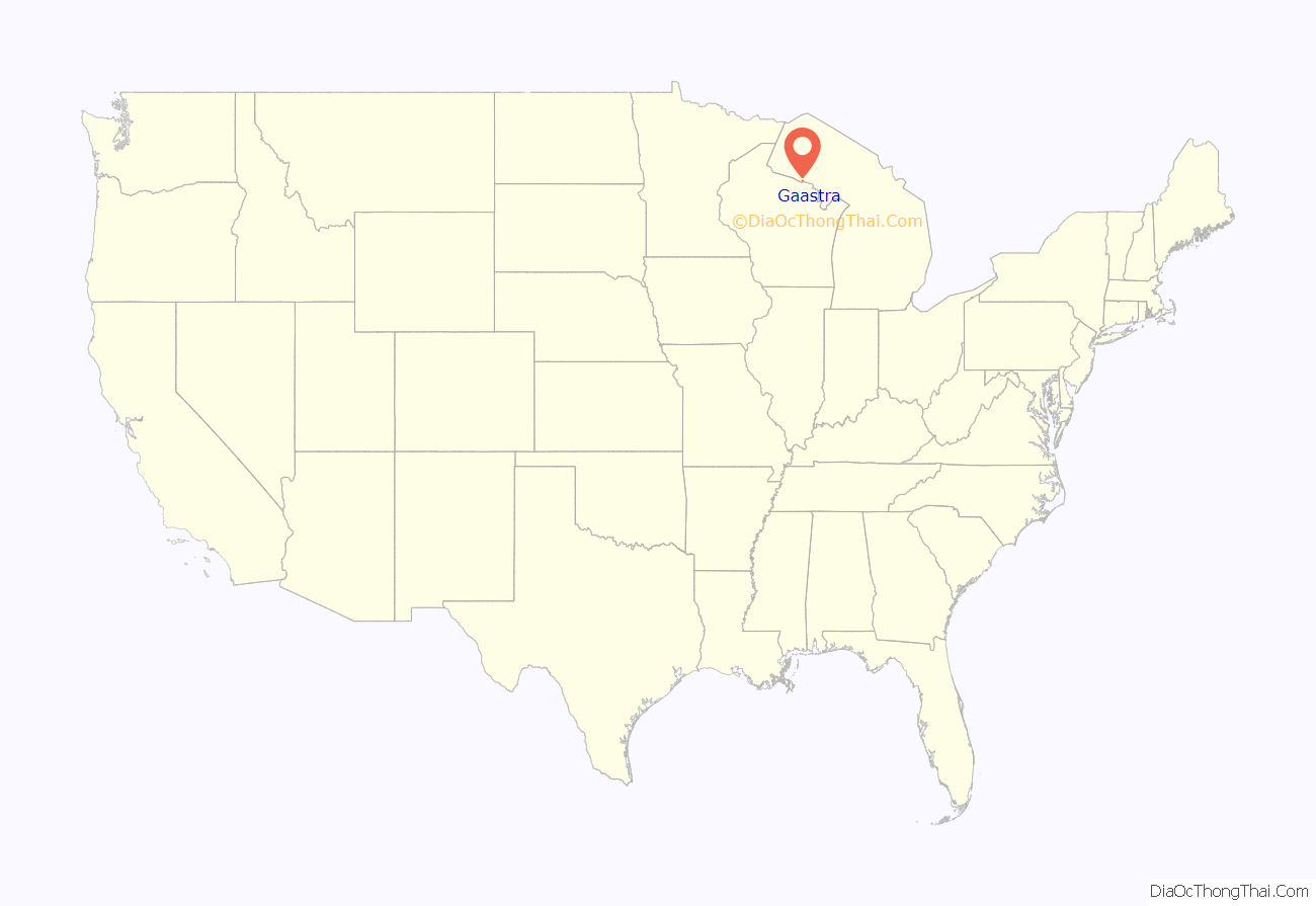
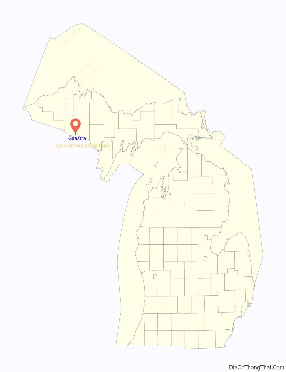
Gaastra location map. Where is Gaastra city?
History
The land was first purchased in 1879 by Alfred Kidder of Marquette. The land was transferred to a number of other owners, Andrew Young (1884), Ediwn H. Piper (1902). The city is named after Douwe Gaastra, a building contractor and real estate speculator who bought the land in October 1908 and platted the town. A post office was established with the first postmaster being Olaf A. Olson on September 26, 1914. It was incorporated as a village in 1919 and as a city in 1949. Olson retired as postmaster in 1953.
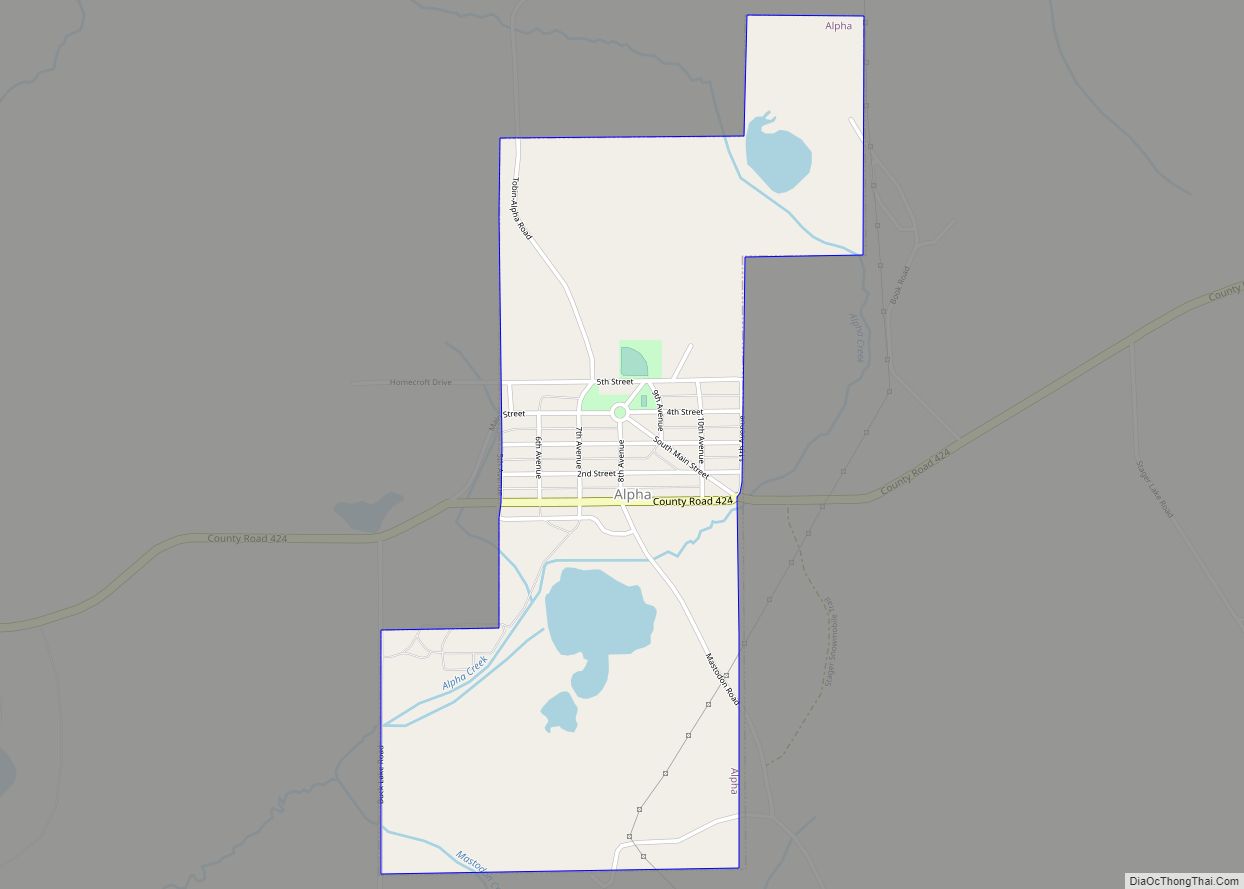
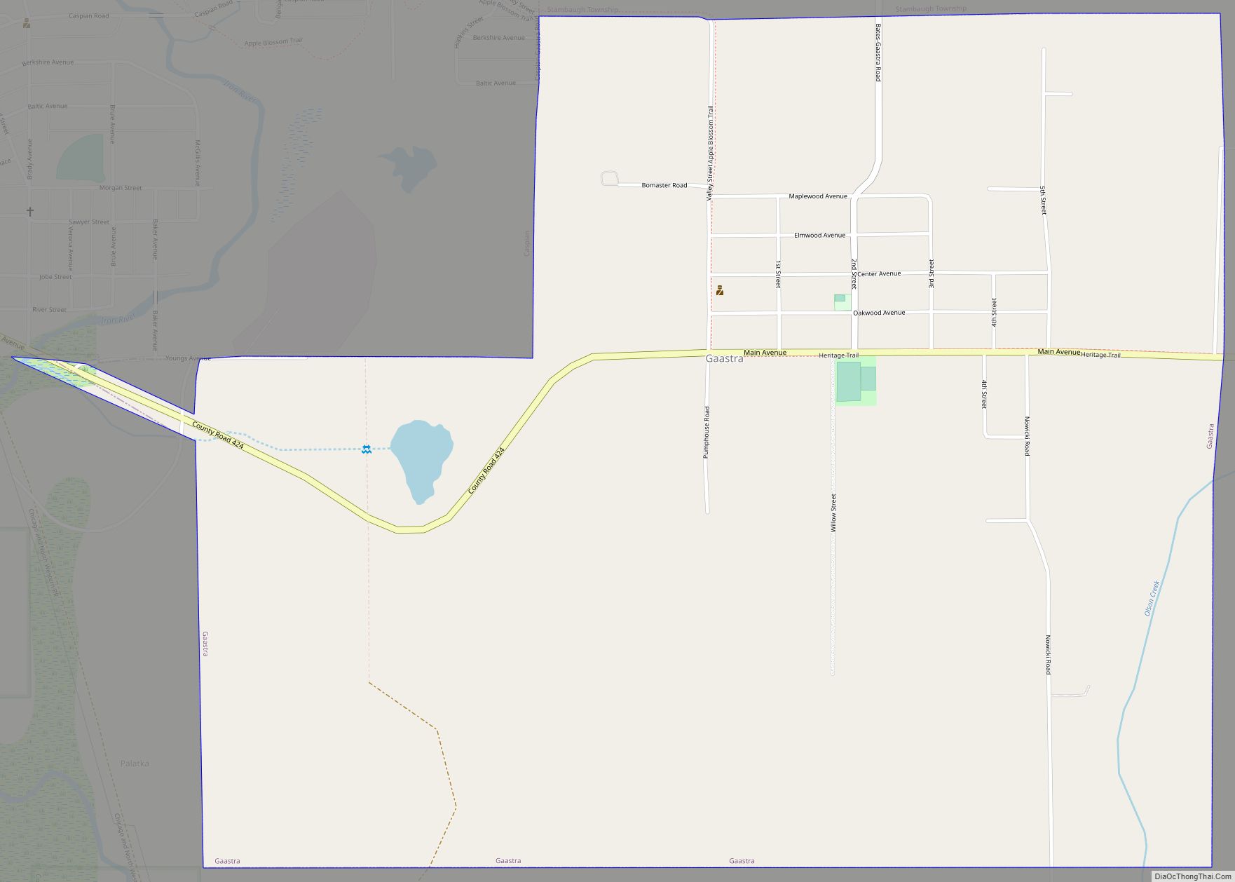
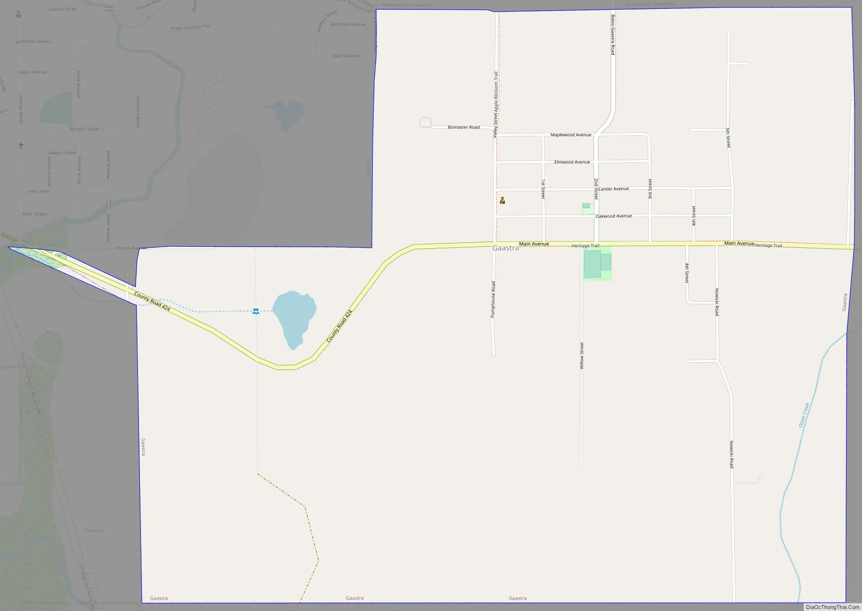
Gaastra Road Map
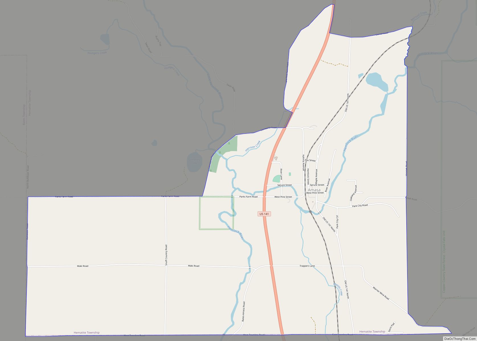
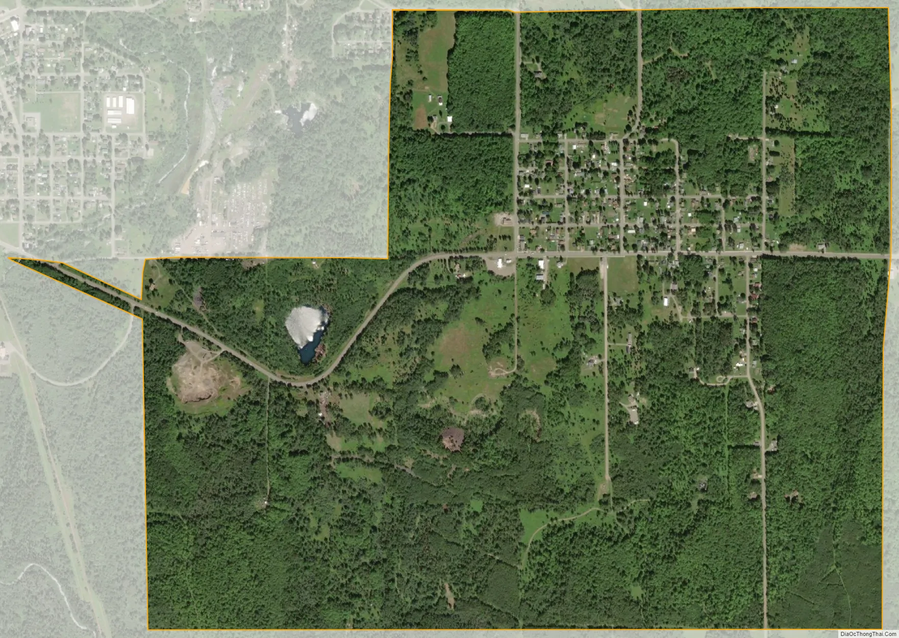
Gaastra city Satellite Map
Geography
According to the United States Census Bureau, the city has a total area of 1.64 square miles (4.25 km), all land.
See also
Map of Michigan State and its subdivision:- Alcona
- Alger
- Allegan
- Alpena
- Antrim
- Arenac
- Baraga
- Barry
- Bay
- Benzie
- Berrien
- Branch
- Calhoun
- Cass
- Charlevoix
- Cheboygan
- Chippewa
- Clare
- Clinton
- Crawford
- Delta
- Dickinson
- Eaton
- Emmet
- Genesee
- Gladwin
- Gogebic
- Grand Traverse
- Gratiot
- Hillsdale
- Houghton
- Huron
- Ingham
- Ionia
- Iosco
- Iron
- Isabella
- Jackson
- Kalamazoo
- Kalkaska
- Kent
- Keweenaw
- Lake
- Lake Hurron
- Lake Michigan
- Lake St. Clair
- Lake Superior
- Lapeer
- Leelanau
- Lenawee
- Livingston
- Luce
- Mackinac
- Macomb
- Manistee
- Marquette
- Mason
- Mecosta
- Menominee
- Midland
- Missaukee
- Monroe
- Montcalm
- Montmorency
- Muskegon
- Newaygo
- Oakland
- Oceana
- Ogemaw
- Ontonagon
- Osceola
- Oscoda
- Otsego
- Ottawa
- Presque Isle
- Roscommon
- Saginaw
- Saint Clair
- Saint Joseph
- Sanilac
- Schoolcraft
- Shiawassee
- Tuscola
- Van Buren
- Washtenaw
- Wayne
- Wexford
- Alabama
- Alaska
- Arizona
- Arkansas
- California
- Colorado
- Connecticut
- Delaware
- District of Columbia
- Florida
- Georgia
- Hawaii
- Idaho
- Illinois
- Indiana
- Iowa
- Kansas
- Kentucky
- Louisiana
- Maine
- Maryland
- Massachusetts
- Michigan
- Minnesota
- Mississippi
- Missouri
- Montana
- Nebraska
- Nevada
- New Hampshire
- New Jersey
- New Mexico
- New York
- North Carolina
- North Dakota
- Ohio
- Oklahoma
- Oregon
- Pennsylvania
- Rhode Island
- South Carolina
- South Dakota
- Tennessee
- Texas
- Utah
- Vermont
- Virginia
- Washington
- West Virginia
- Wisconsin
- Wyoming