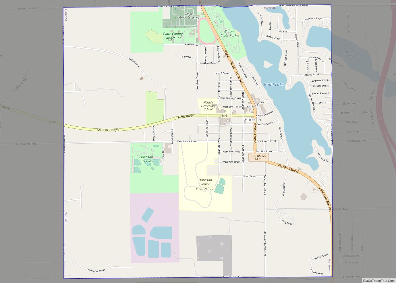
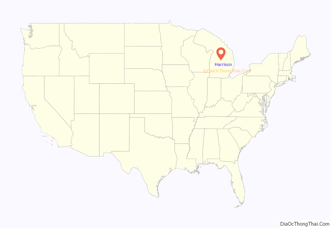
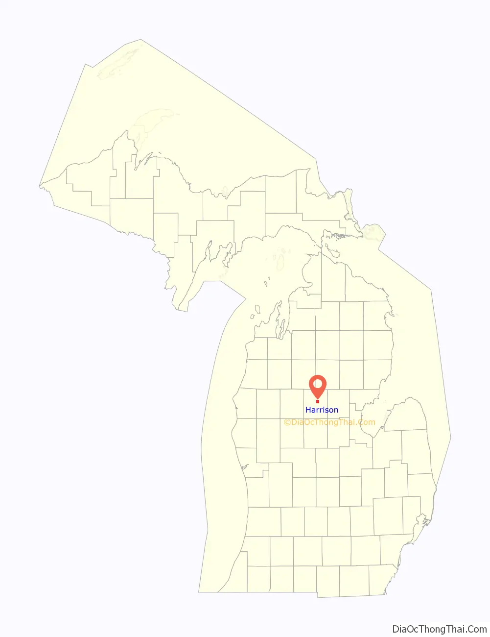
Harrison is a city in and county seat of Clare County in the U.S. state of Michigan. The population was 2,150 at the 2020 census.
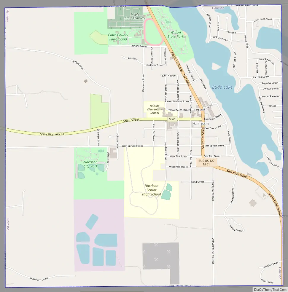
The community was settled as early as 1877 and was named after William Henry Harrison. Harrison is near the junction of US 127 and M-61. US 127 bypasses the city to the east, while Bus. US 127 runs through the center of the city. Wilson State Park and Budd Lake are located within the city.
| Name: | Harrison city |
|---|---|
| LSAD Code: | 25 |
| LSAD Description: | city (suffix) |
| State: | Michigan |
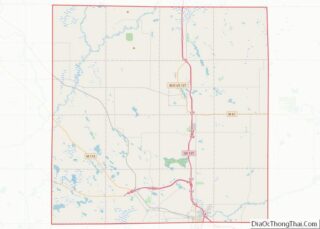
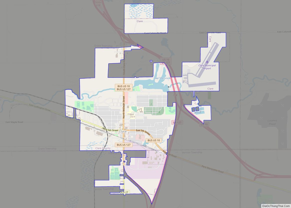
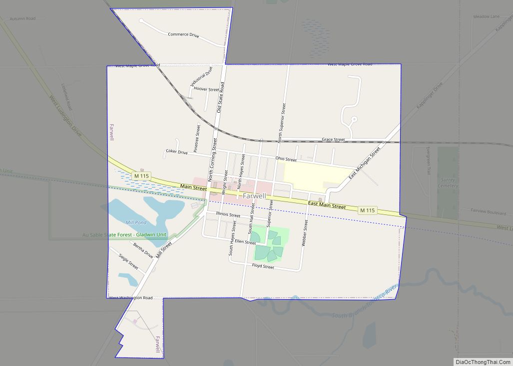
| County: | Clare County |
| Incorporated: | 1885 (village) 1891 (city) |
| Elevation: | 1,165 ft (355 m) |
| Total Area: | 4.03 sq mi (10.43 km²) |
| Land Area: | 3.71 sq mi (9.62 km²) |
| Water Area: | 0.31 sq mi (0.81 km²) |
| Total Population: | 2,150 |
| Population Density: | 578.73/sq mi (223.44/km²) |
| Area code: | 989 |
| FIPS code: | 2636800 |
| GNISfeature ID: | 0627850 |
Online Interactive Map
Click on ![]() to view map in "full screen" mode.
to view map in "full screen" mode.
Harrison location map. Where is Harrison city?
History
Harrison was first designated as the new centralized location of the county seat of Clare County in 1877. It would become a replacement for Farwell, which was the first county seat when Clare County was formally organized in 1871. The Flint and Pere Marquette Railroad platted the village in 1879 and set aside property for a new county government after the previous courthouse in Farwell burned down. The Harrison post office opened on January 27, 1880 and was named after former president William Henry Harrison. The new community incorporated as a village in 1885 and later as a city in 1891.
Harrison Road Map
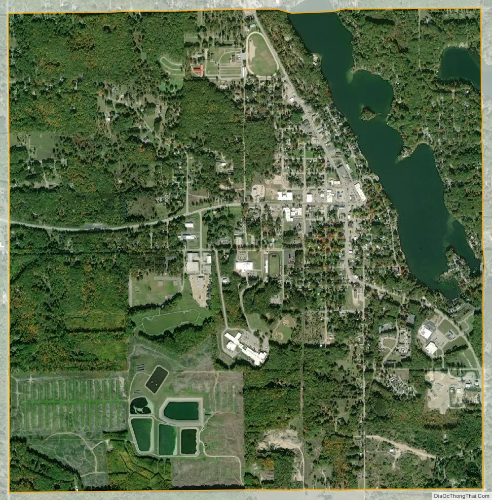
Harrison city Satellite Map
Geography
According to the U.S. Census Bureau, the city has a total area of 4.03 square miles (10.44 km), of which 3.71 square miles (9.61 km) is land and 0.31 square miles (0.80 km) is water.
The city’s motto is “20 Lakes in 20 Minutes” due its proximity to numerous lakes. Budd Lake is mostly located within the city limits, while the northern coastline extends into Hayes Township. The only other lake within the city limits is Little Long Lake, which also extends into Hayes Township.
Major highways
- US 127 runs south–north just outside the eastern border of the city.
- Bus. US 127 is a business route of US 127 that runs through the center of the city.
- M-61 is a state highway that enters the west-central part of the city and then runs concurrently with Bus. US 127.
See also
Map of Michigan State and its subdivision:- Alcona
- Alger
- Allegan
- Alpena
- Antrim
- Arenac
- Baraga
- Barry
- Bay
- Benzie
- Berrien
- Branch
- Calhoun
- Cass
- Charlevoix
- Cheboygan
- Chippewa
- Clare
- Clinton
- Crawford
- Delta
- Dickinson
- Eaton
- Emmet
- Genesee
- Gladwin
- Gogebic
- Grand Traverse
- Gratiot
- Hillsdale
- Houghton
- Huron
- Ingham
- Ionia
- Iosco
- Iron
- Isabella
- Jackson
- Kalamazoo
- Kalkaska
- Kent
- Keweenaw
- Lake
- Lake Hurron
- Lake Michigan
- Lake St. Clair
- Lake Superior
- Lapeer
- Leelanau
- Lenawee
- Livingston
- Luce
- Mackinac
- Macomb
- Manistee
- Marquette
- Mason
- Mecosta
- Menominee
- Midland
- Missaukee
- Monroe
- Montcalm
- Montmorency
- Muskegon
- Newaygo
- Oakland
- Oceana
- Ogemaw
- Ontonagon
- Osceola
- Oscoda
- Otsego
- Ottawa
- Presque Isle
- Roscommon
- Saginaw
- Saint Clair
- Saint Joseph
- Sanilac
- Schoolcraft
- Shiawassee
- Tuscola
- Van Buren
- Washtenaw
- Wayne
- Wexford
- Alabama
- Alaska
- Arizona
- Arkansas
- California
- Colorado
- Connecticut
- Delaware
- District of Columbia
- Florida
- Georgia
- Hawaii
- Idaho
- Illinois
- Indiana
- Iowa
- Kansas
- Kentucky
- Louisiana
- Maine
- Maryland
- Massachusetts
- Michigan
- Minnesota
- Mississippi
- Missouri
- Montana
- Nebraska
- Nevada
- New Hampshire
- New Jersey
- New Mexico
- New York
- North Carolina
- North Dakota
- Ohio
- Oklahoma
- Oregon
- Pennsylvania
- Rhode Island
- South Carolina
- South Dakota
- Tennessee
- Texas
- Utah
- Vermont
- Virginia
- Washington
- West Virginia
- Wisconsin
- Wyoming