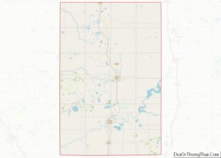
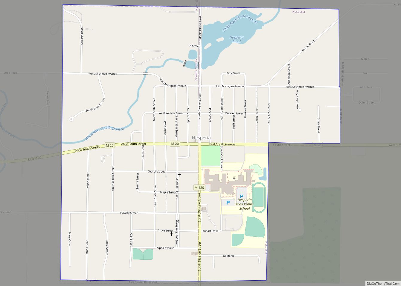
Hesperia is a village in Newaygo and Oceana Counties in the U.S. state of Michigan; it is also the only village in Newaygo County. About half of the village lies in Newfield Township in Oceana County and half in Denver Township in Newaygo County. The population was determined to be 954 in both the 2000 and the 2010 Census.
| Name: | Hesperia village |
|---|---|
| LSAD Code: | 47 |
| LSAD Description: | village (suffix) |
| State: | Michigan |
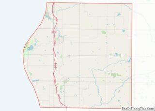
| County: | Newaygo County, Oceana County |
| Elevation: | 745 ft (227 m) |
| Total Area: | 0.86 sq mi (2.22 km²) |
| Land Area: | 0.82 sq mi (2.12 km²) |
| Water Area: | 0.04 sq mi (0.10 km²) |
| Total Population: | 1,034 |
| Population Density: | 1,264.06/sq mi (487.99/km²) |
| ZIP code: | 49421 |
| Area code: | 231 |
| FIPS code: | 2637860 |
| GNISfeature ID: | 1620176 |
Online Interactive Map
Click on ![]() to view map in "full screen" mode.
to view map in "full screen" mode.
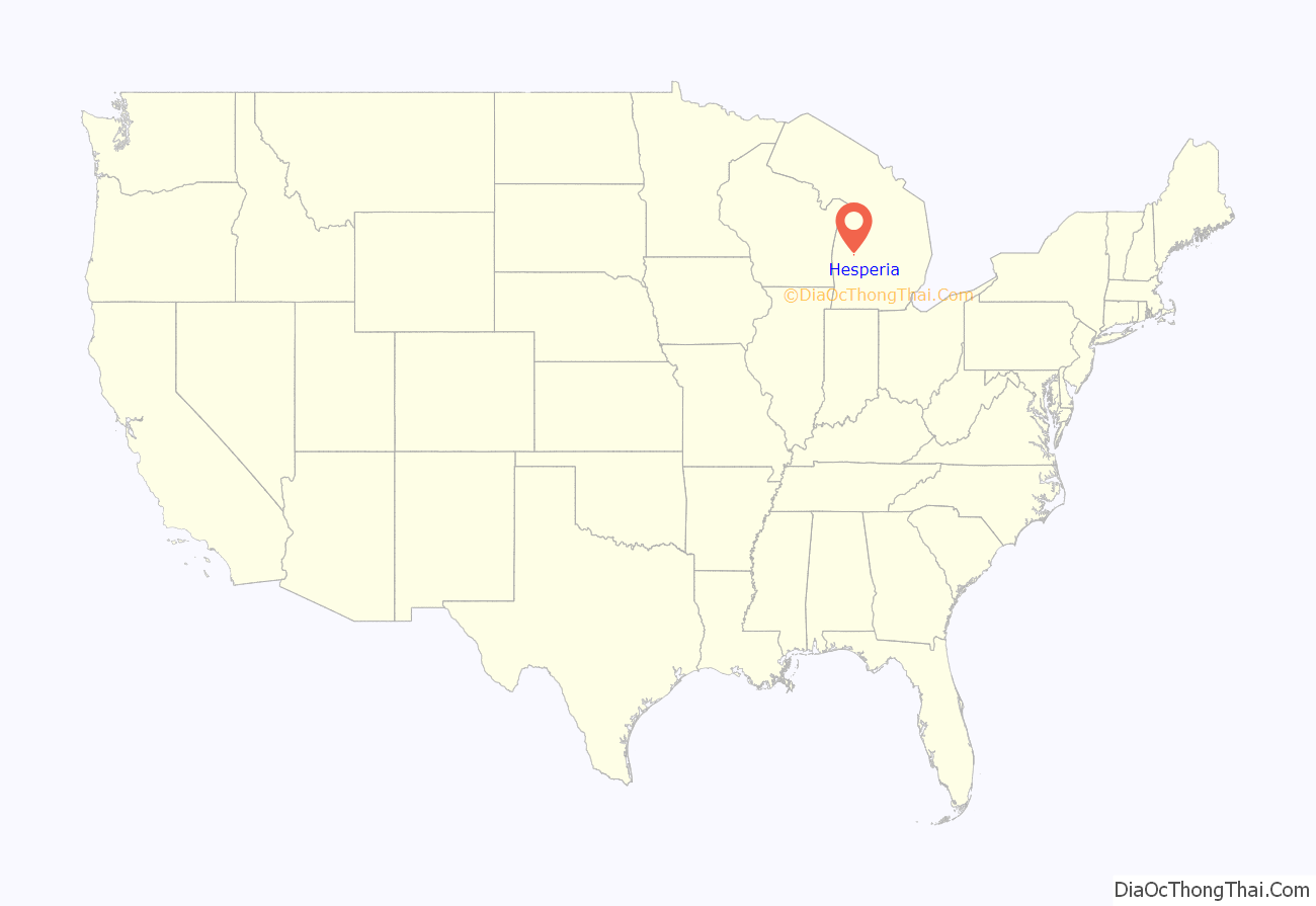
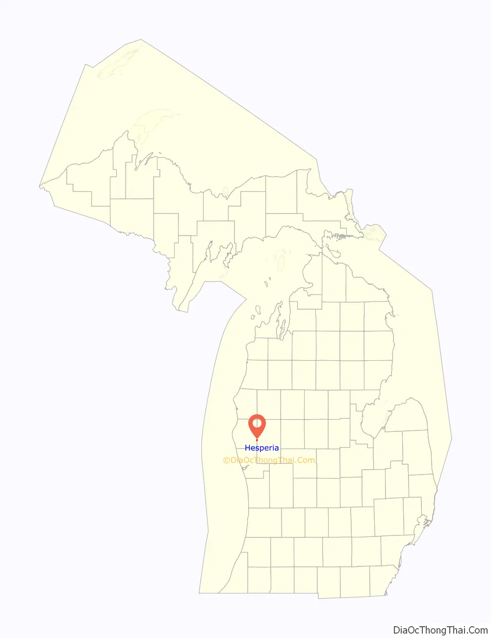
Hesperia location map. Where is Hesperia village?
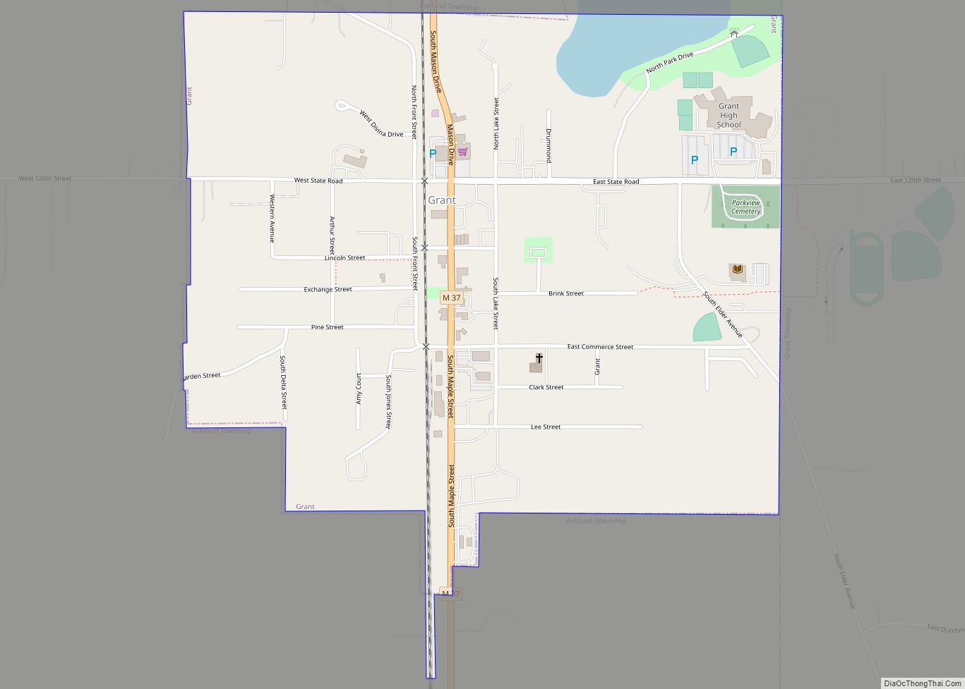
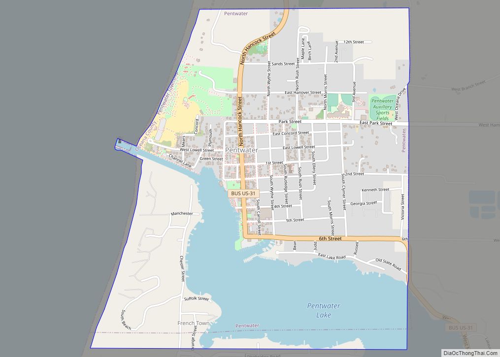
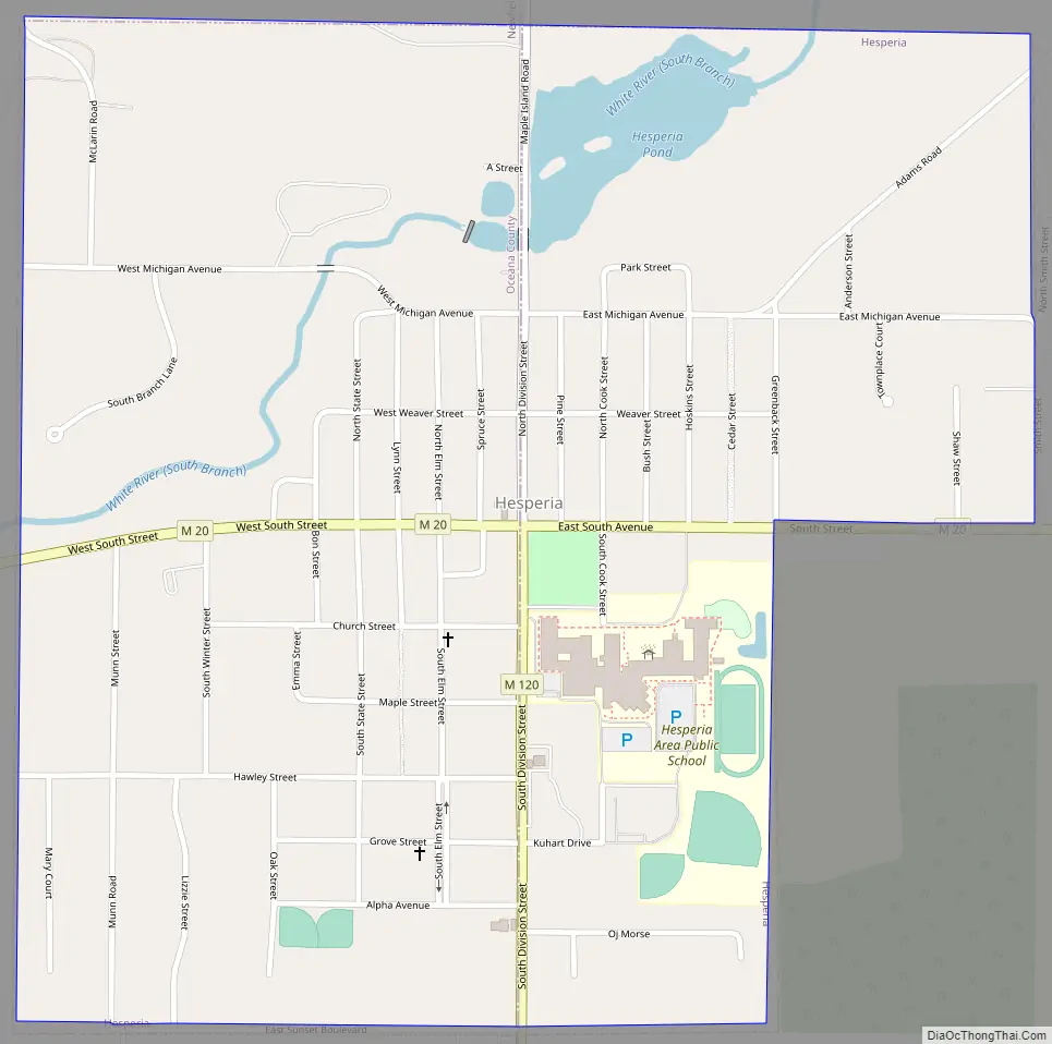
Hesperia Road Map
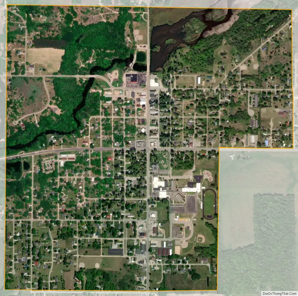
Hesperia city Satellite Map
Geography
According to the United States Census Bureau, the village has a total area of 0.86 square miles (2.23 km), of which 0.79 square miles (2.05 km) is land and 0.07 square miles (0.18 km) is water.
Major highways
- M-20 passes east–west through the village.
- M-120 runs along the Newaygo–Oceana county line to Hesperia, where it has its northern terminus at M-20.
See also
Map of Michigan State and its subdivision:- Alcona
- Alger
- Allegan
- Alpena
- Antrim
- Arenac
- Baraga
- Barry
- Bay
- Benzie
- Berrien
- Branch
- Calhoun
- Cass
- Charlevoix
- Cheboygan
- Chippewa
- Clare
- Clinton
- Crawford
- Delta
- Dickinson
- Eaton
- Emmet
- Genesee
- Gladwin
- Gogebic
- Grand Traverse
- Gratiot
- Hillsdale
- Houghton
- Huron
- Ingham
- Ionia
- Iosco
- Iron
- Isabella
- Jackson
- Kalamazoo
- Kalkaska
- Kent
- Keweenaw
- Lake
- Lake Hurron
- Lake Michigan
- Lake St. Clair
- Lake Superior
- Lapeer
- Leelanau
- Lenawee
- Livingston
- Luce
- Mackinac
- Macomb
- Manistee
- Marquette
- Mason
- Mecosta
- Menominee
- Midland
- Missaukee
- Monroe
- Montcalm
- Montmorency
- Muskegon
- Newaygo
- Oakland
- Oceana
- Ogemaw
- Ontonagon
- Osceola
- Oscoda
- Otsego
- Ottawa
- Presque Isle
- Roscommon
- Saginaw
- Saint Clair
- Saint Joseph
- Sanilac
- Schoolcraft
- Shiawassee
- Tuscola
- Van Buren
- Washtenaw
- Wayne
- Wexford
- Alabama
- Alaska
- Arizona
- Arkansas
- California
- Colorado
- Connecticut
- Delaware
- District of Columbia
- Florida
- Georgia
- Hawaii
- Idaho
- Illinois
- Indiana
- Iowa
- Kansas
- Kentucky
- Louisiana
- Maine
- Maryland
- Massachusetts
- Michigan
- Minnesota
- Mississippi
- Missouri
- Montana
- Nebraska
- Nevada
- New Hampshire
- New Jersey
- New Mexico
- New York
- North Carolina
- North Dakota
- Ohio
- Oklahoma
- Oregon
- Pennsylvania
- Rhode Island
- South Carolina
- South Dakota
- Tennessee
- Texas
- Utah
- Vermont
- Virginia
- Washington
- West Virginia
- Wisconsin
- Wyoming