Highland Park is a city in Wayne County in the U.S. state of Michigan. The population was 8,977 at the 2020 census. Like its neighbor Hamtramck, Highland Park is an enclave city surrounded by the city of Detroit.
| Name: | Highland Park city |
|---|---|
| LSAD Code: | 25 |
| LSAD Description: | city (suffix) |
| State: | Michigan |
| County: | Wayne County |
| Incorporated: | 1890 (village) 1918 (city) |
| Elevation: | 636 ft (194 m) |
| Land Area: | 2.97 sq mi (7.69 km²) |
| Water Area: | 0.00 sq mi (0.00 km²) |
| Population Density: | 3,021.54/sq mi (1,166.67/km²) |
| ZIP code: | 48203 |
| Area code: | 313 |
| FIPS code: | 2638180 |
| GNISfeature ID: | 0628251 |
| Website: | highlandparkmi.gov |
Online Interactive Map
Click on ![]() to view map in "full screen" mode.
to view map in "full screen" mode.
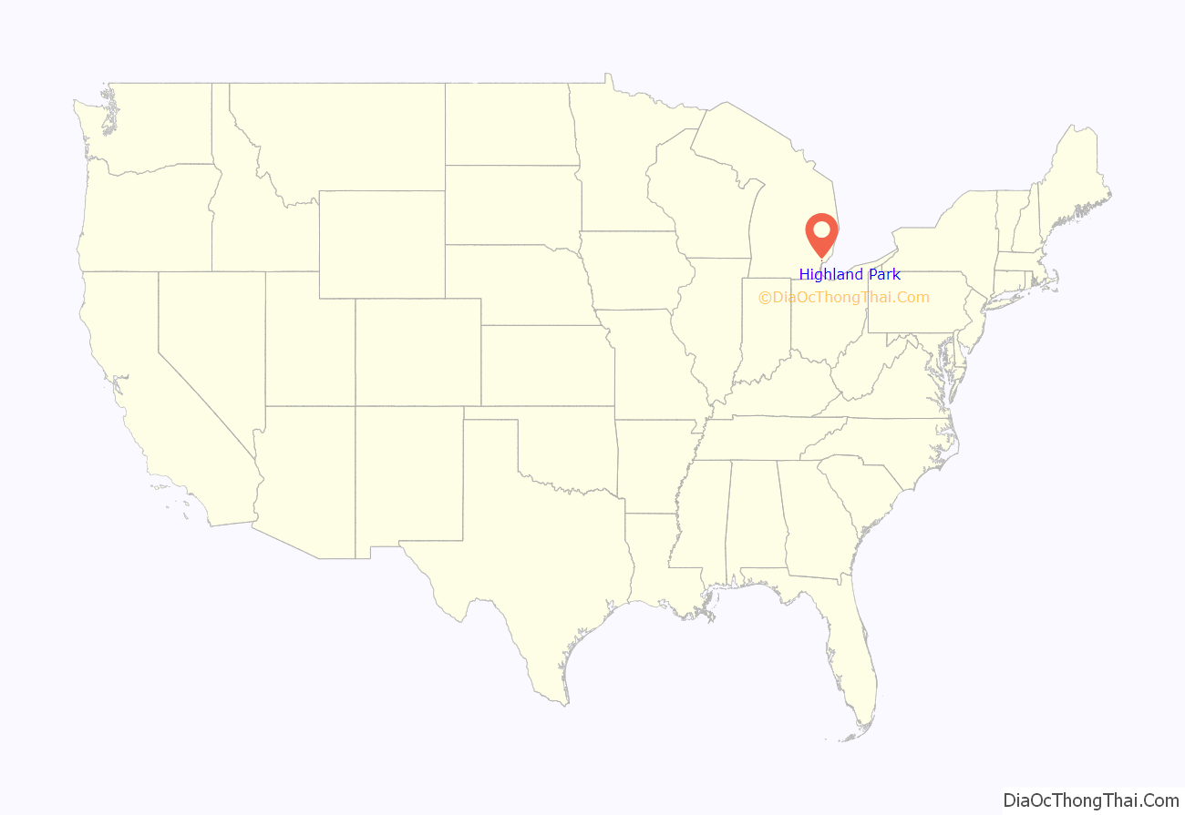
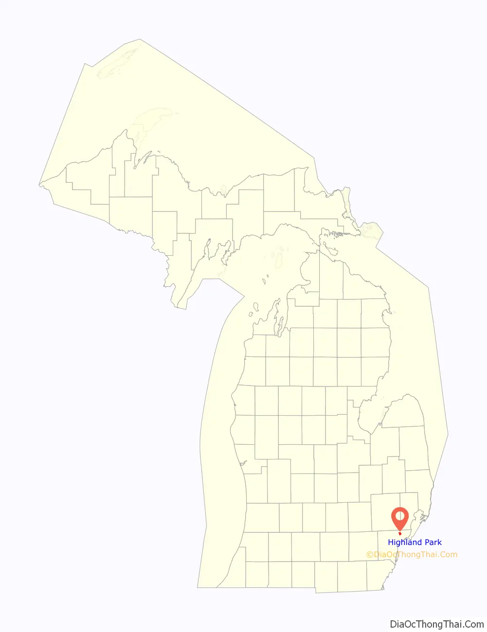
Highland Park location map. Where is Highland Park city?
History
The area that became Highland Park began as a small farming community, on a large ridge at what is now Woodward Avenue and Highland, six miles (9.7 km) north of Detroit. In 1818, prominent Detroit judge Augustus B. Woodward bought the ridge, and platted the village of Woodwardville in 1825. The development of the village failed. Another Detroit judge, Benjamin F. H. Witherell, son of Michigan Supreme Court justice James Witherell, attempted to found a village platted as Cassandra on this site in 1836, but this plan also failed.
By 1860, the settlement was given a post office under the name of Whitewood. After a succession of closures and reopenings of the rural post office, the settlement was finally incorporated as a village within Greenfield Township and Hamtramck Township under the name of Highland Park in 1889.
In 1907, Henry Ford purchased 160 acres (65 ha) just north of Manchester Street between Woodward Avenue and Oakland Street to build an automobile plant. Construction of the Highland Park Ford Plant was completed in 1909, and the area’s population dramatically increased in 1913, when Henry Ford opened the plant’s first assembly line. The village of Highland Park was incorporated as a city in 1918 to protect its tax base, including its successful Ford plant, from Detroit’s expanding boundaries.
In 1910, Highland Park, then a village, had 4,120 residents. Between 1910 and 1920 during the boom associated with the automobile industry, Highland Park’s population grew to about 46,500, an increase of 1,081 percent, reaching its peak around 1927. The growth of Highland Park and neighboring Hamtramck broke records for increases of population; both municipalities withstood annexation efforts from Detroit. In 1925, Chrysler Corporation was founded in Highland Park. It purchased the city’s Brush-Maxwell plant, which would eventually expand to 150 acres and serve as the site of the company’s headquarters for the next 70 years.
Arthur Lupp of Highland Park founded the Michigan branch of the Black Legion in 1931; it was a secret vigilante group related to the Ku Klux Klan, which had been prominent in Detroit in the 1920s. The Legion had a similar nativist bent and its members were opposed to immigrants, Catholics, Jews, blacks, labor organizers, etc. Many public and business officials of Highland Park, including the chief of police, a mayor, and a city councilman, joined this group. Lupp and others were among the 48 men indicted and convicted following the murder of Charles Poole in May 1936; eleven were convicted in that murder. Investigations revealed the Legion had been involved in many other murders or conspiracies to murder during the previous three years, for which another 37 men were convicted. These convictions ended the reign of the Legion.
In 1944, the Davison Freeway was opened as the country’s first modern depressed urban freeway, running through the center of the city. It was completely reconstructed and widened in 1996 and 1997 to improve its safety.
Ford Motor Company demolished large sections of its Highland Park plant in the late 1950s. With the loss of industrial jobs, the city suffered many of the same difficulties as Detroit: declines in population and tax base accompanied by an increase in street crime. White flight from the city accelerated after the 1967 Detroit 12th Street Riot. Ford’s last operation at the factory, the production of tractors at its Model T plant, was discontinued in 1973, and in 1981 the entire property was sold to a private developer for general industrial usage. The city population was majority black and impoverished by the 1980s. Chrysler, the city’s last major private sector employer, moved its corporate headquarters from Highland Park to Auburn Hills between 1991 and 1993, paying the city $44 million in compensation. The move dislocated a total of 6,000 jobs over this period.
On June 19, 1982, drafter Vincent Chin was beaten to death in Highland Park by two automotive workers in retaliation for Japan’s success in the automotive industry. The killing was considered a racially-motivated hate crime.
Known as “The City of Trees,” the town was thickly forested until the 1970s. The spread of Dutch elm disease required many old trees to be cut down.
From 2001 to 2009, the city was controlled by an emergency financial manager appointed by the State of Michigan because of Highland Park’s mounting fiscal crisis.
In August 2011, more than two-thirds of the street lights in Highland Park’s residential neighborhoods and alleys were removed by the city, due to an inability to pay a $60,000 per month electric bill. The street lights were not only turned off, but decommissioned, or removed from their posts. The city advised residents to keep porch lights on to deter crime. The following year, a local 501(c)(3) nonprofit organization, Soulardarity, was formed to restore streetlighting to the city’s residential neighborhoods and alleyways in the form of solar street lights.
On November 20, 2013, the Detroit Water and Sewerage Department filed a lawsuit against the City of Highland Park regarding unpaid sewage services and water totaling $17.7 million. In 2020, the two cities settled out of court for an unspecified amount.
Highland Park Road Map

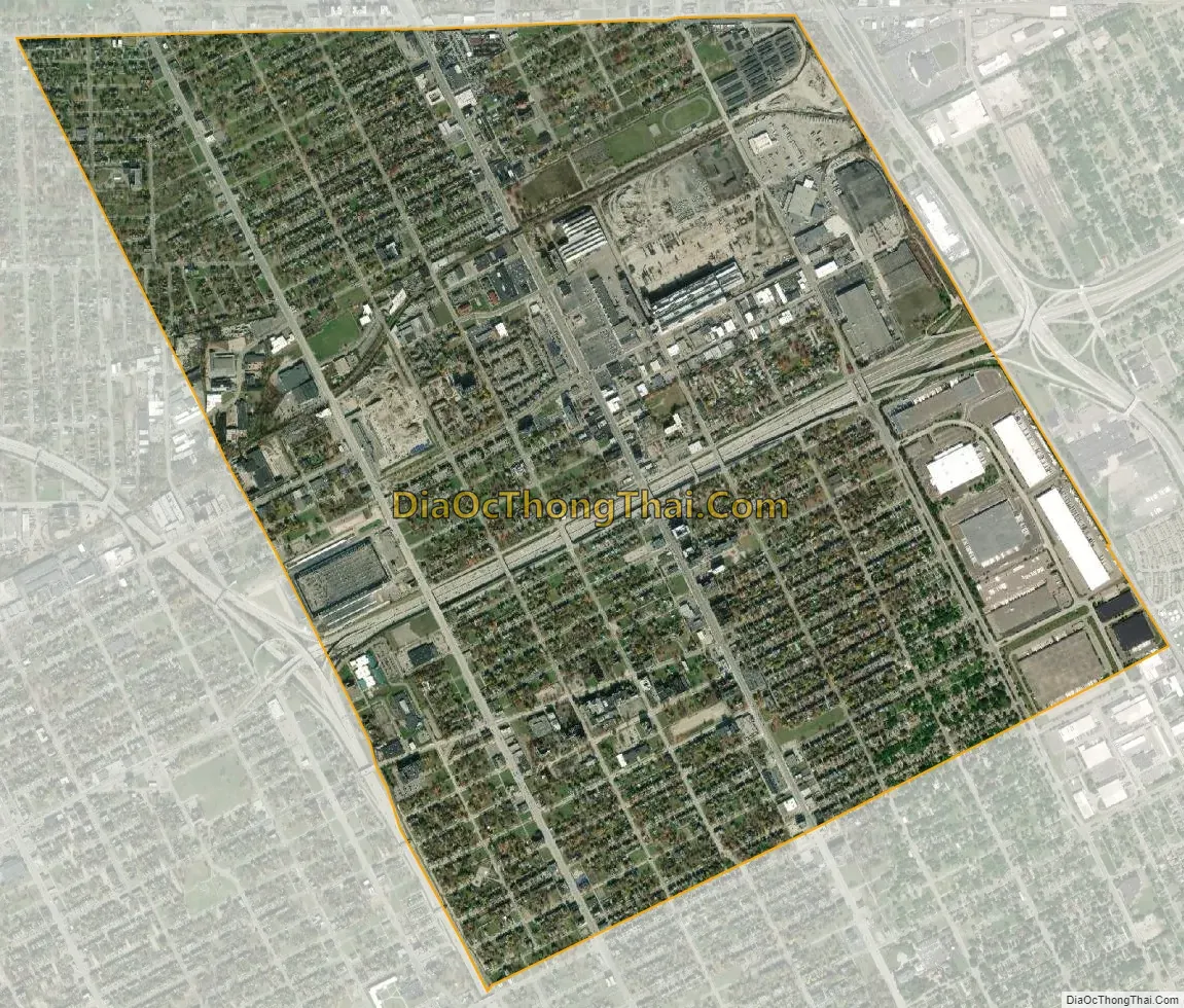
Highland Park city Satellite Map
Geography
According to the United States Census Bureau, the city has an area of 2.97 square miles (7.69 km), all land.
Highland Park is approximately 6 miles (10 km) north-northwest from Downtown Detroit. It is bounded by McNichols Road (6 Mile Road) to the north, Grand Trunk Western Railroad Holly Subdivision tracks to the east, the alleys of Tuxedo and Tennyson streets to the south, and the Lodge Freeway and Thompson Street to the west.
See also
Map of Michigan State and its subdivision:- Alcona
- Alger
- Allegan
- Alpena
- Antrim
- Arenac
- Baraga
- Barry
- Bay
- Benzie
- Berrien
- Branch
- Calhoun
- Cass
- Charlevoix
- Cheboygan
- Chippewa
- Clare
- Clinton
- Crawford
- Delta
- Dickinson
- Eaton
- Emmet
- Genesee
- Gladwin
- Gogebic
- Grand Traverse
- Gratiot
- Hillsdale
- Houghton
- Huron
- Ingham
- Ionia
- Iosco
- Iron
- Isabella
- Jackson
- Kalamazoo
- Kalkaska
- Kent
- Keweenaw
- Lake
- Lake Hurron
- Lake Michigan
- Lake St. Clair
- Lake Superior
- Lapeer
- Leelanau
- Lenawee
- Livingston
- Luce
- Mackinac
- Macomb
- Manistee
- Marquette
- Mason
- Mecosta
- Menominee
- Midland
- Missaukee
- Monroe
- Montcalm
- Montmorency
- Muskegon
- Newaygo
- Oakland
- Oceana
- Ogemaw
- Ontonagon
- Osceola
- Oscoda
- Otsego
- Ottawa
- Presque Isle
- Roscommon
- Saginaw
- Saint Clair
- Saint Joseph
- Sanilac
- Schoolcraft
- Shiawassee
- Tuscola
- Van Buren
- Washtenaw
- Wayne
- Wexford
- Alabama
- Alaska
- Arizona
- Arkansas
- California
- Colorado
- Connecticut
- Delaware
- District of Columbia
- Florida
- Georgia
- Hawaii
- Idaho
- Illinois
- Indiana
- Iowa
- Kansas
- Kentucky
- Louisiana
- Maine
- Maryland
- Massachusetts
- Michigan
- Minnesota
- Mississippi
- Missouri
- Montana
- Nebraska
- Nevada
- New Hampshire
- New Jersey
- New Mexico
- New York
- North Carolina
- North Dakota
- Ohio
- Oklahoma
- Oregon
- Pennsylvania
- Rhode Island
- South Carolina
- South Dakota
- Tennessee
- Texas
- Utah
- Vermont
- Virginia
- Washington
- West Virginia
- Wisconsin
- Wyoming


