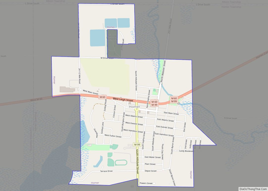
Homer is a village in Calhoun County in the U.S. state of Michigan. It is part of the Battle Creek, Michigan Metropolitan Statistical Area. The population was 1,668 at the 2010 census.
| Name: | Homer village |
|---|---|
| LSAD Code: | 47 |
| LSAD Description: | village (suffix) |
| State: | Michigan |
| County: | Calhoun County |
| Elevation: | 991 ft (302 m) |
| Total Area: | 1.44 sq mi (3.74 km²) |
| Land Area: | 1.40 sq mi (3.61 km²) |
| Water Area: | 0.05 sq mi (0.12 km²) |
| Total Population: | 1,575 |
| Population Density: | 1,129.03/sq mi (435.81/km²) |
| ZIP code: | 49245 |
| Area code: | 517 |
| FIPS code: | 2638920 |
| GNISfeature ID: | 0628509 |
| Website: | homermichigan.org |
Online Interactive Map
Click on ![]() to view map in "full screen" mode.
to view map in "full screen" mode.
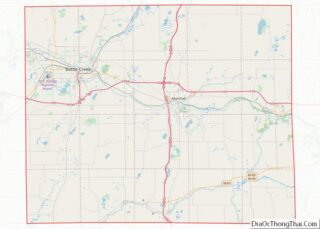
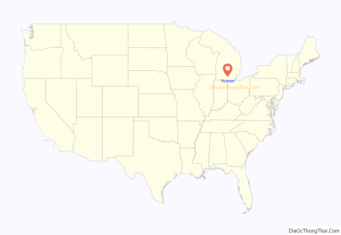
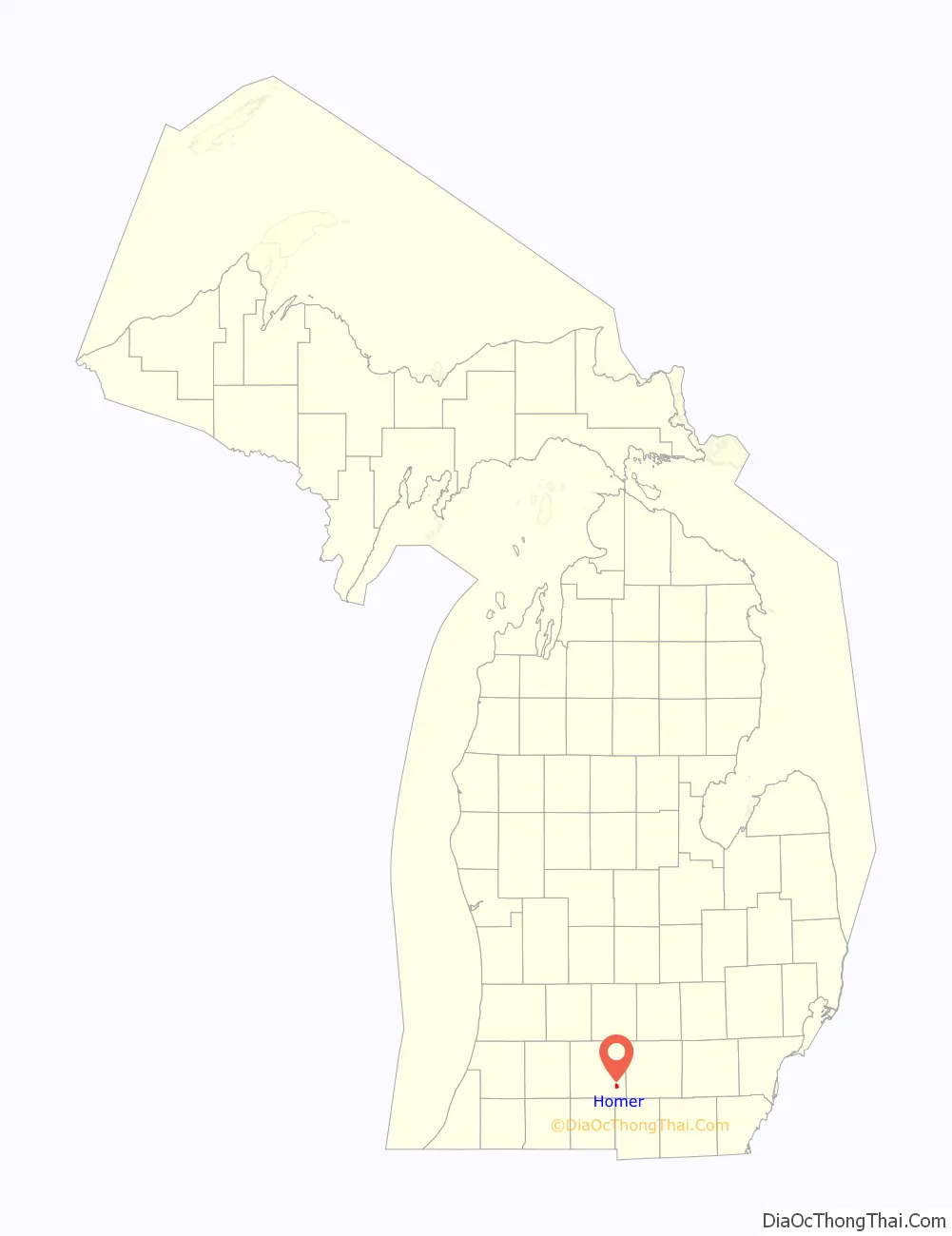
Homer location map. Where is Homer village?
History
Milton Barney arrived from Lyons, New York the summer of 1832 to scout the area and returned that September with his family and workmen to settle on the south bank of the Kalamazoo River in Section 5. Soon after Barney hired Osha Wilder to layout the plat for the village of Barneyville on the SW corner of Section 5, SE corner of Section 6, NE corner of Section 7, and NW corner of Section 8. For more a detailed history of the surrounding area see the entry for Homer Township and Clarendon Township.
Milton Barney built a store, a sawmill, and a hotel. In 1834 when a post office was registered, Barneyville was renamed Homer after the village in Cortland County, New York, at the request of many of the residents who had moved from there. Homer was incorporated as a village in 1871.
According to Dr William Lane, the Potawatomi natives were friendly and the children of settlers and natives often played together. Chief Ne-au-to-beer-saw, called Leather-nose, and Chief Wopkezike are mentioned in many stories of the founding era. The native population was numerous until the autumn of 1840 when the U.S. Government forcibly removed the Indians to reserves west of the Mississippi under Authority of the Indian Removal Act and 1833 Treaty of Chicago. Because of the peacefulness of the Potawatomi, they continued to co-exist with the settlers many years after the Treaty of Chicago until General Brady removed about 250 Indians of Hillsdale and Homer to Miami County, KS. Chief Ne-au-to-beer-saw drowned while crossing the Detroit River returning from his escape to Canada.
The “old” Homer mills was built by a stock company of Milton Barney, Walter Wright, Nelson D. Skeeles, Asabel Finch, Jr, and Mr Platt in 1837-1838. This structure was later operated under the name Smith, Lewis, & Redfield. The property passed on to B. & E.R. Smith in 1860 and to Judge Emons of Detroit in 1872. This original structure burned on January 25, 1886. The heirs of Judge Emons sold the water power, land, and mill site to Cortright & Sons.
The Homer High School varsity baseball team set the national record for most consecutive wins at 75. The streak started at the start of the 2004 season and ended in the state championship game in 2005. From 2003 to 2006 the varsity baseball team compiled a 143-6 record. Winning two state championships, in 2004 and 2006, and was televised on ESPN’s 50 States in 50 Days segment on the state of Michigan.
In the early morning of May 16, 2010, the “new” Homer mills, a local landmark, burned to the ground. The fire is estimated to be the biggest fire in the town’s history since the high school burned down in 1943. The fire was so intense that the Homer Fire Department requested and received the aid of the fire departments of Albion, Albion Township, Sheridan Township, Marengo Township, Fredonia Township, Litchfield, and Concord. Fire trucks had to patrol the town, as ashes were raining down and posed the threat of setting houses on fire. The cause of the fire is unknown.
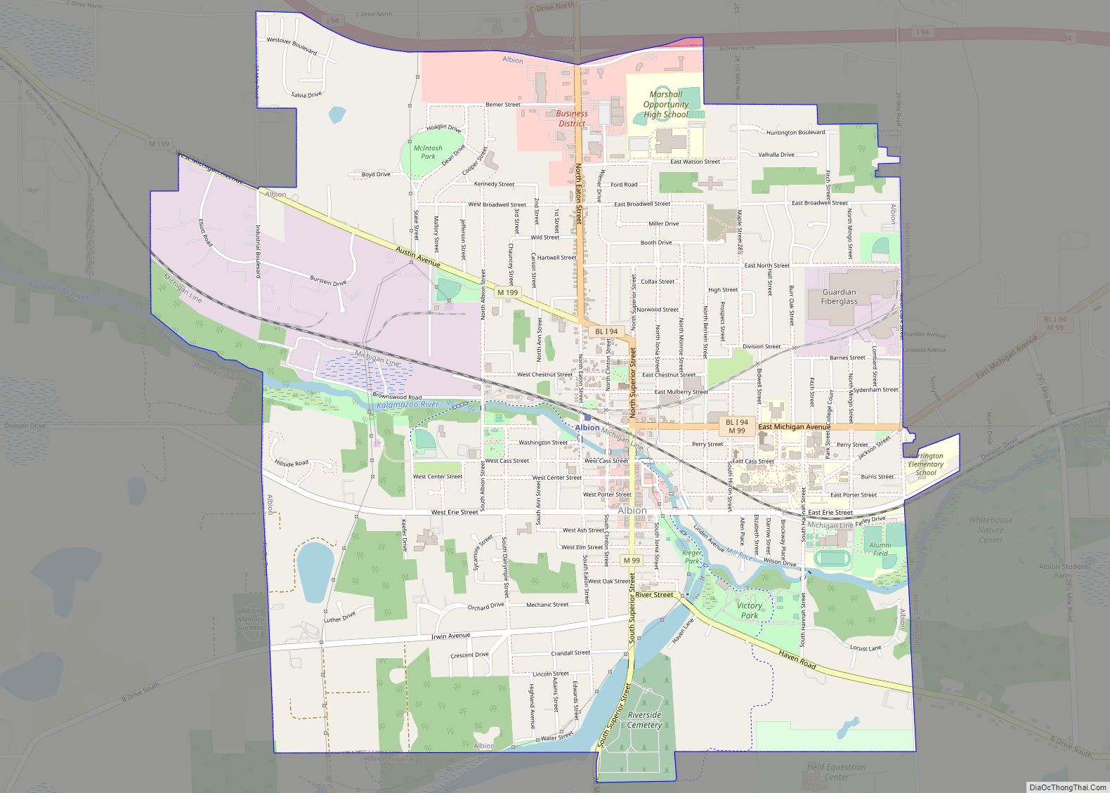
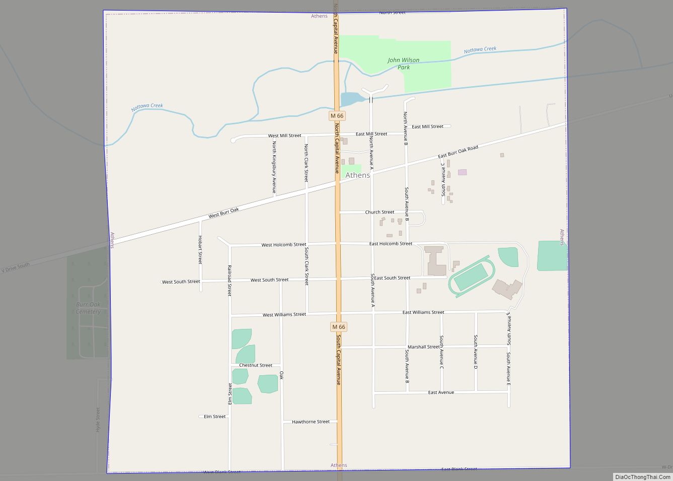
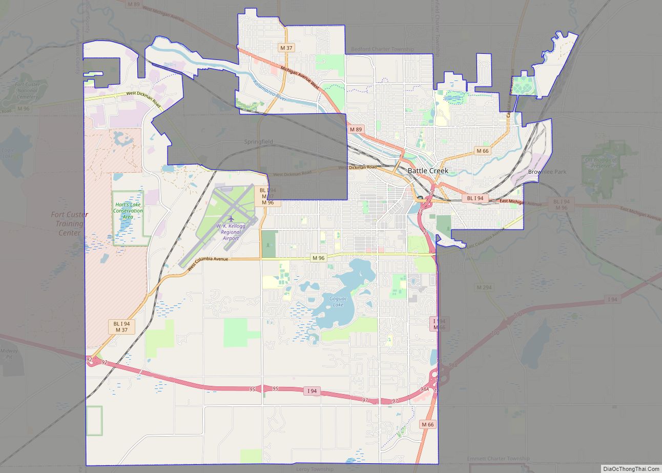
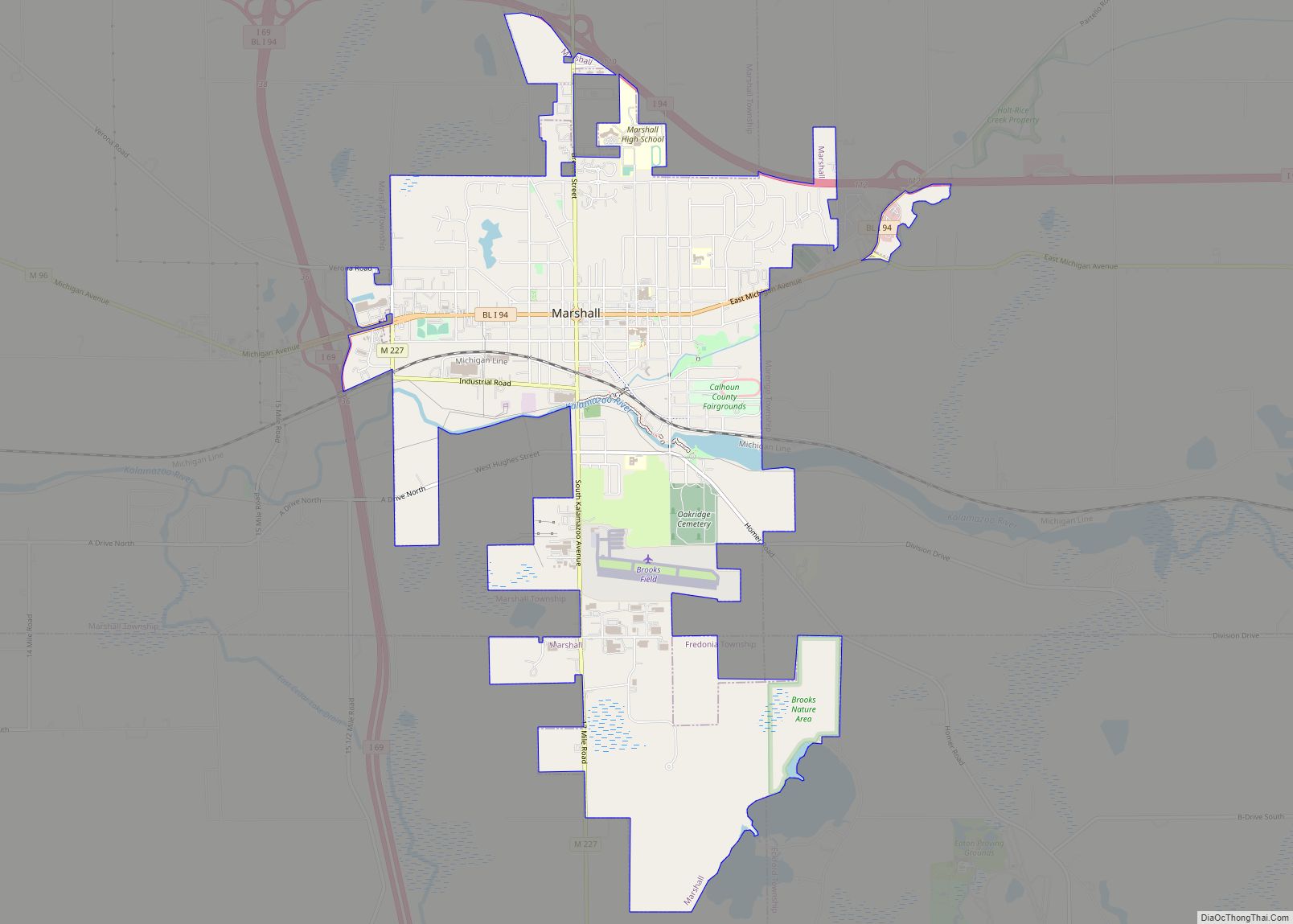
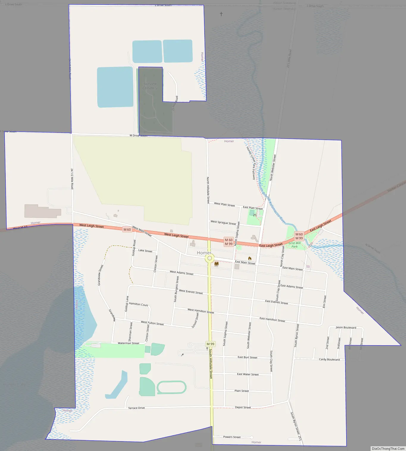
Homer Road Map
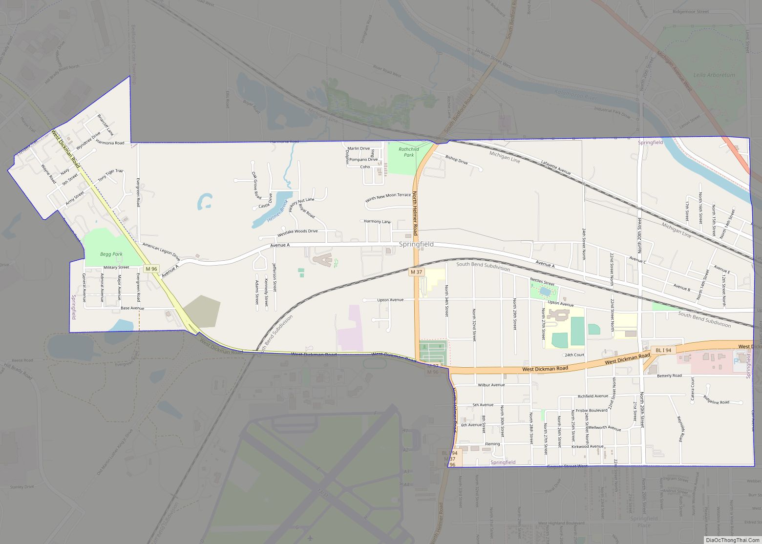
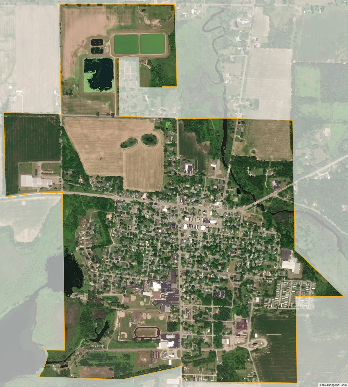
Homer city Satellite Map
Geography
According to the United States Census Bureau, the village has a total area of 1.45 square miles (3.76 km), 1.40 square miles (3.63 km) of which is land and 0.05 square miles (0.13 km) is water.
See also
Map of Michigan State and its subdivision:- Alcona
- Alger
- Allegan
- Alpena
- Antrim
- Arenac
- Baraga
- Barry
- Bay
- Benzie
- Berrien
- Branch
- Calhoun
- Cass
- Charlevoix
- Cheboygan
- Chippewa
- Clare
- Clinton
- Crawford
- Delta
- Dickinson
- Eaton
- Emmet
- Genesee
- Gladwin
- Gogebic
- Grand Traverse
- Gratiot
- Hillsdale
- Houghton
- Huron
- Ingham
- Ionia
- Iosco
- Iron
- Isabella
- Jackson
- Kalamazoo
- Kalkaska
- Kent
- Keweenaw
- Lake
- Lake Hurron
- Lake Michigan
- Lake St. Clair
- Lake Superior
- Lapeer
- Leelanau
- Lenawee
- Livingston
- Luce
- Mackinac
- Macomb
- Manistee
- Marquette
- Mason
- Mecosta
- Menominee
- Midland
- Missaukee
- Monroe
- Montcalm
- Montmorency
- Muskegon
- Newaygo
- Oakland
- Oceana
- Ogemaw
- Ontonagon
- Osceola
- Oscoda
- Otsego
- Ottawa
- Presque Isle
- Roscommon
- Saginaw
- Saint Clair
- Saint Joseph
- Sanilac
- Schoolcraft
- Shiawassee
- Tuscola
- Van Buren
- Washtenaw
- Wayne
- Wexford
- Alabama
- Alaska
- Arizona
- Arkansas
- California
- Colorado
- Connecticut
- Delaware
- District of Columbia
- Florida
- Georgia
- Hawaii
- Idaho
- Illinois
- Indiana
- Iowa
- Kansas
- Kentucky
- Louisiana
- Maine
- Maryland
- Massachusetts
- Michigan
- Minnesota
- Mississippi
- Missouri
- Montana
- Nebraska
- Nevada
- New Hampshire
- New Jersey
- New Mexico
- New York
- North Carolina
- North Dakota
- Ohio
- Oklahoma
- Oregon
- Pennsylvania
- Rhode Island
- South Carolina
- South Dakota
- Tennessee
- Texas
- Utah
- Vermont
- Virginia
- Washington
- West Virginia
- Wisconsin
- Wyoming