Hudsonville is a city in Ottawa County in the U.S. state of Michigan, and is part of the Grand Rapids metropolitan area. The population was 7,116 at the 2010 census. Hudsonville is nicknamed “Michigan’s Salad Bowl.”
| Name: | Hudsonville city |
|---|---|
| LSAD Code: | 25 |
| LSAD Description: | city (suffix) |
| State: | Michigan |
| County: | Ottawa County |
| Elevation: | 630 ft (201 m) |
| Land Area: | 4.12 sq mi (10.67 km²) |
| Water Area: | 0.00 sq mi (0.00 km²) |
| Population Density: | 1,852.15/sq mi (715.19/km²) |
| ZIP code: | 49426 |
| Area code: | 616 |
| FIPS code: | 2639800 |
| GNISfeature ID: | 0628773 |
| Website: | http://www.hudsonville.org/ |
Online Interactive Map
Click on ![]() to view map in "full screen" mode.
to view map in "full screen" mode.
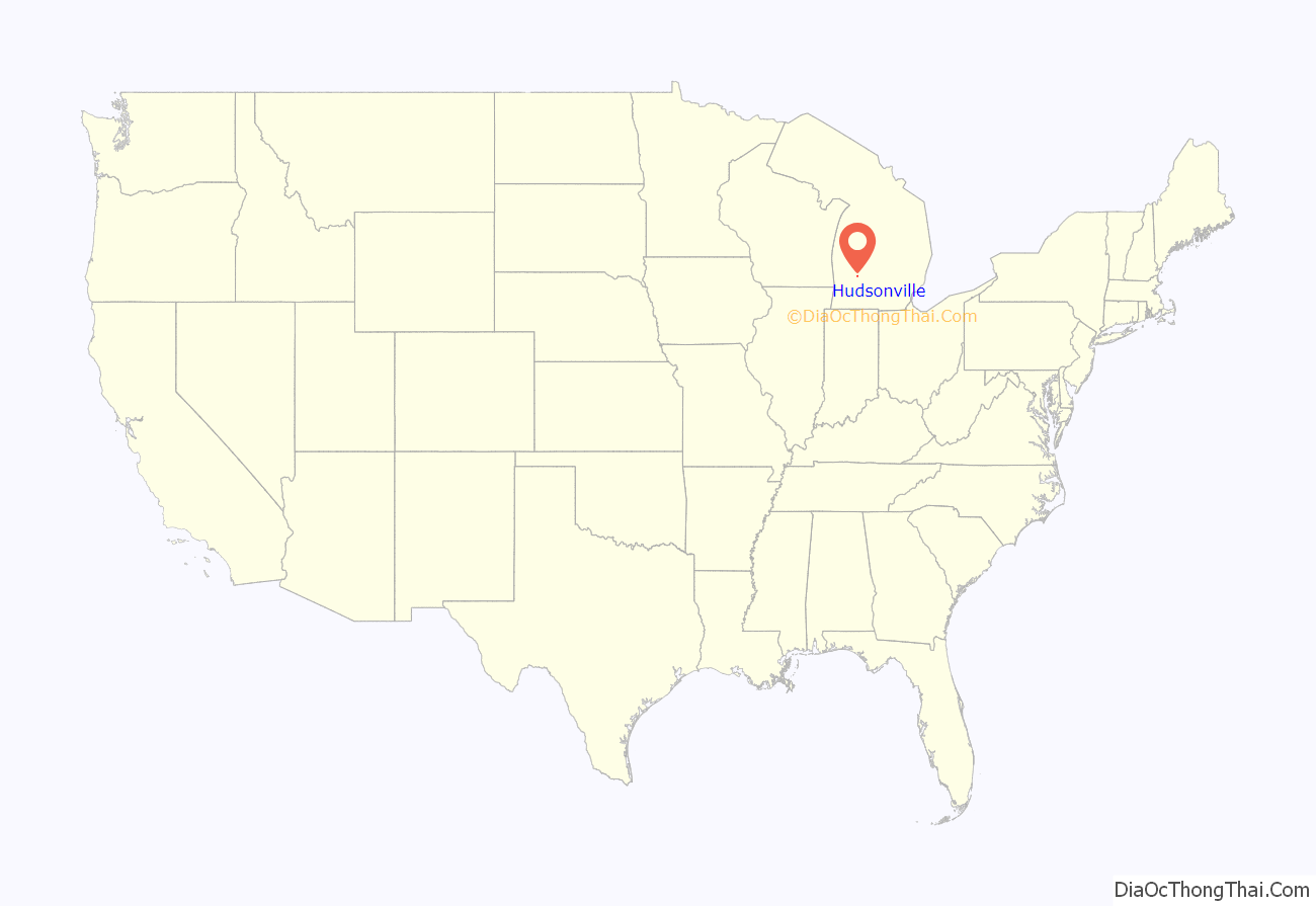
Hudsonville location map. Where is Hudsonville city?
History
Hudsonville was platted in 1873, soon after the Chicago and West Michigan Railway was extended to that point. The town was named for Homer E. Hudson, a pioneer settler, who was also the town’s first postmaster. The early settlement of Hudsonville was next to a swamp, which hampered early development. In 1872, construction of the Chicago and West Michigan Railroad was completed. The railroad brought more settlers to the area, including many Dutch immigrants.
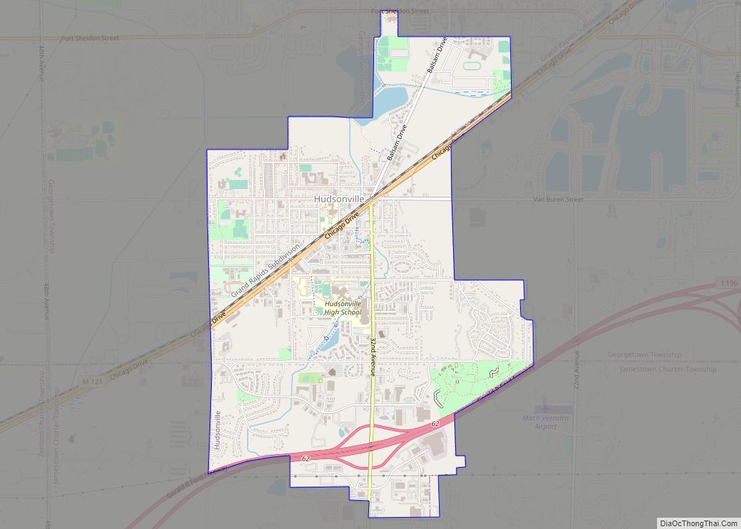
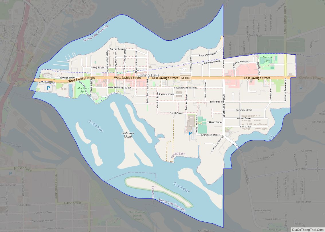
Hudsonville Road Map
Hudsonville city Satellite Map
Geography
According to the United States Census Bureau, the city has a total area of 4.14 square miles (10.72 km), all land.
Points of interest
Terra Squareis a mixed-use community center, located in downtown Hudsonville at 3380 Chicago Drive. Terra Square offers an event space and a work space, in addition to hosting the Hudsonville Farmers Market.
See also
Map of Michigan State and its subdivision:- Alcona
- Alger
- Allegan
- Alpena
- Antrim
- Arenac
- Baraga
- Barry
- Bay
- Benzie
- Berrien
- Branch
- Calhoun
- Cass
- Charlevoix
- Cheboygan
- Chippewa
- Clare
- Clinton
- Crawford
- Delta
- Dickinson
- Eaton
- Emmet
- Genesee
- Gladwin
- Gogebic
- Grand Traverse
- Gratiot
- Hillsdale
- Houghton
- Huron
- Ingham
- Ionia
- Iosco
- Iron
- Isabella
- Jackson
- Kalamazoo
- Kalkaska
- Kent
- Keweenaw
- Lake
- Lake Hurron
- Lake Michigan
- Lake St. Clair
- Lake Superior
- Lapeer
- Leelanau
- Lenawee
- Livingston
- Luce
- Mackinac
- Macomb
- Manistee
- Marquette
- Mason
- Mecosta
- Menominee
- Midland
- Missaukee
- Monroe
- Montcalm
- Montmorency
- Muskegon
- Newaygo
- Oakland
- Oceana
- Ogemaw
- Ontonagon
- Osceola
- Oscoda
- Otsego
- Ottawa
- Presque Isle
- Roscommon
- Saginaw
- Saint Clair
- Saint Joseph
- Sanilac
- Schoolcraft
- Shiawassee
- Tuscola
- Van Buren
- Washtenaw
- Wayne
- Wexford
- Alabama
- Alaska
- Arizona
- Arkansas
- California
- Colorado
- Connecticut
- Delaware
- District of Columbia
- Florida
- Georgia
- Hawaii
- Idaho
- Illinois
- Indiana
- Iowa
- Kansas
- Kentucky
- Louisiana
- Maine
- Maryland
- Massachusetts
- Michigan
- Minnesota
- Mississippi
- Missouri
- Montana
- Nebraska
- Nevada
- New Hampshire
- New Jersey
- New Mexico
- New York
- North Carolina
- North Dakota
- Ohio
- Oklahoma
- Oregon
- Pennsylvania
- Rhode Island
- South Carolina
- South Dakota
- Tennessee
- Texas
- Utah
- Vermont
- Virginia
- Washington
- West Virginia
- Wisconsin
- Wyoming
