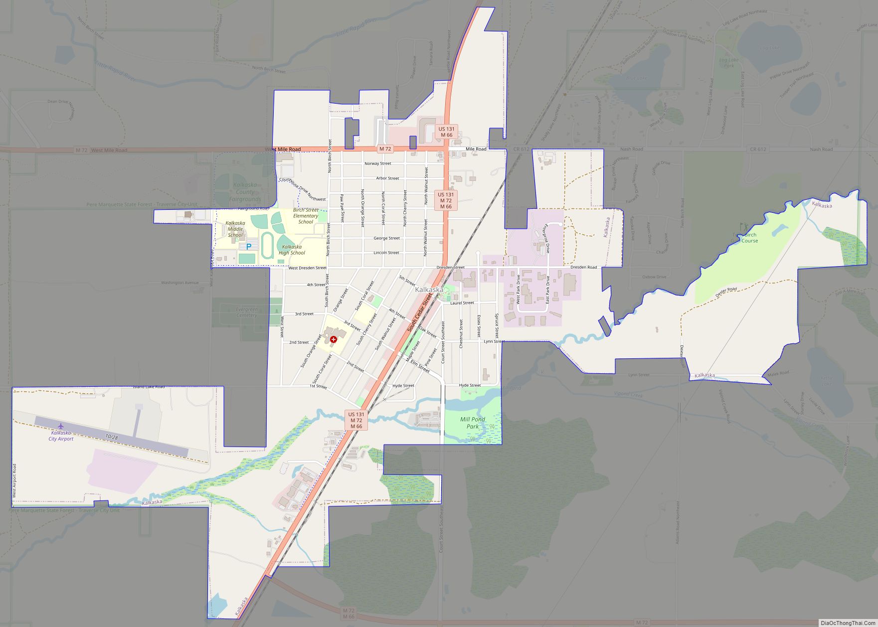
Kalkaska (/kælˈkæskə/ kal-KASS-kə) is a village in the U.S. state of Michigan. Kalkaska is the county seat and only incorporated community of Kalkaska County, and is considered part of Northern Michigan. The population was 2,132 at the 2020 census, an increase from 2,020 at the 2010 census.
Kalkaska is part of the Traverse City micropolitan area, and is often considered a bedroom community of nearby Traverse City. The town is also renowned for hosting the National Trout Festival, with the first festivities being held in 1935.
| Name: | Kalkaska village |
|---|---|
| LSAD Code: | 47 |
| LSAD Description: | village (suffix) |
| State: | Michigan |
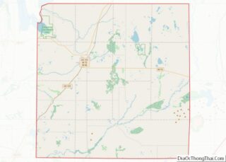
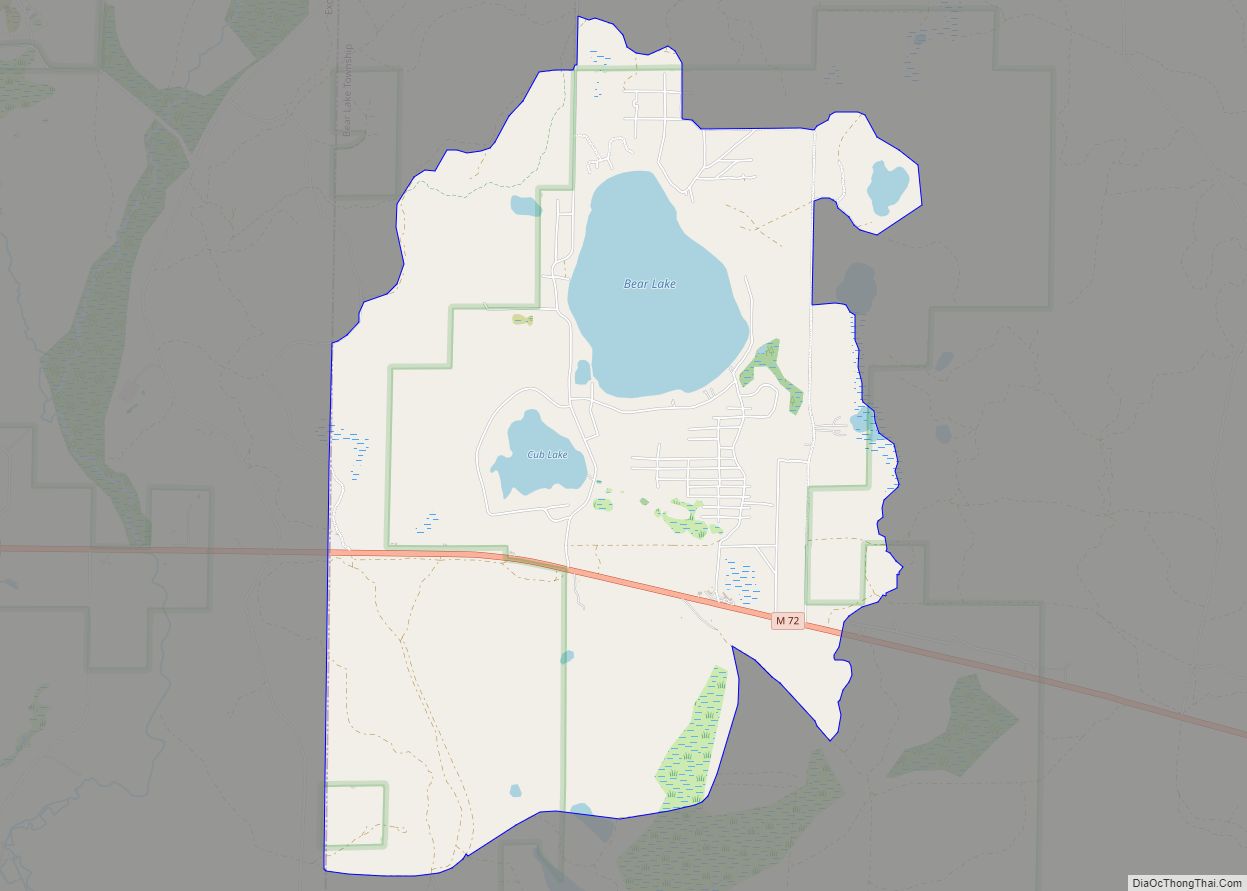
| County: | Kalkaska County |
| Incorporated: | 1887 |
| Elevation: | 1,033 ft (315 m) |
| Total Area: | 2.69 sq mi (6.96 km²) |
| Land Area: | 2.64 sq mi (6.83 km²) |
| Water Area: | 0.05 sq mi (0.13 km²) |
| Total Population: | 2,132 |
| Population Density: | 808.80/sq mi (312.25/km²) |
| Area code: | 231 |
| FIPS code: | 2642260 |
| GNISfeature ID: | 0629450 |
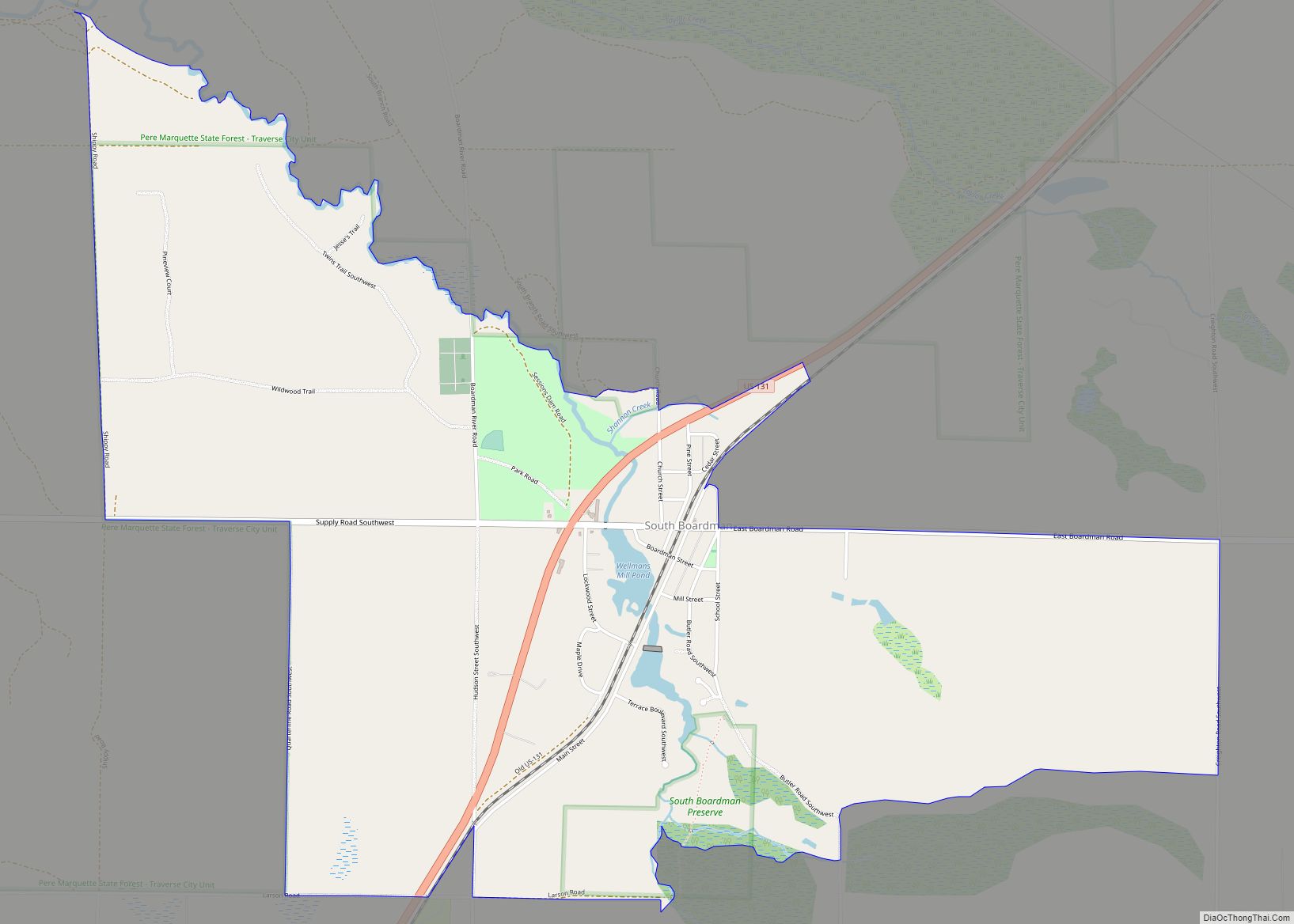
Online Interactive Map
Click on ![]() to view map in "full screen" mode.
to view map in "full screen" mode.
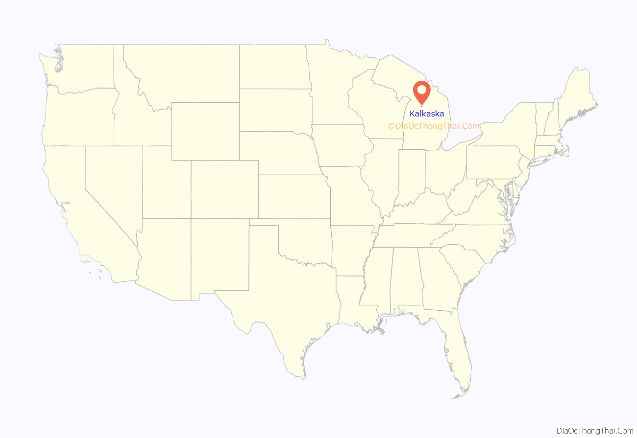
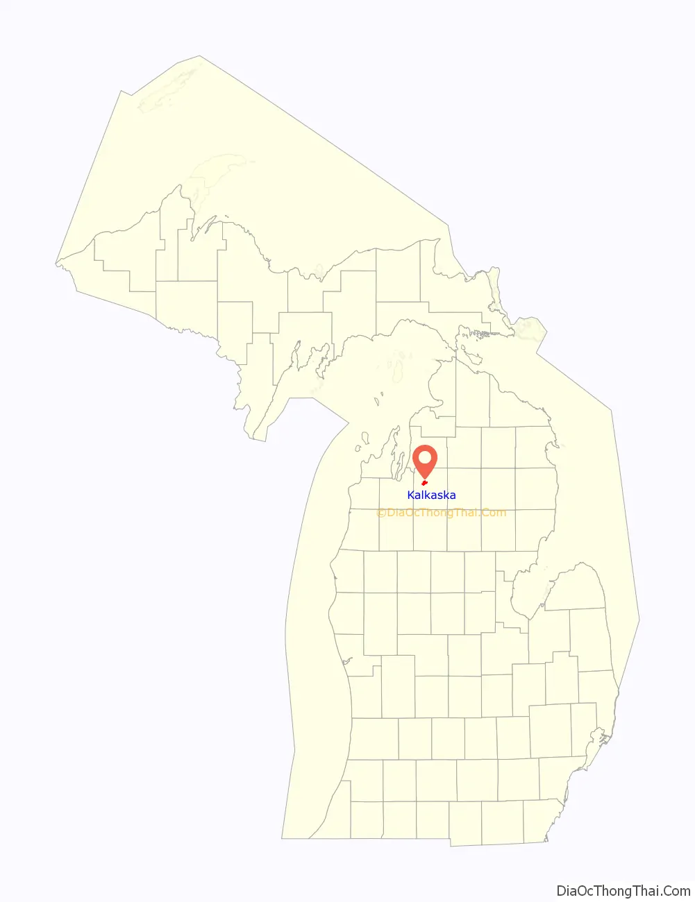
Kalkaska location map. Where is Kalkaska village?
History
The land on which Kalkaska sits has long been territory under the Council of Three Fires; the Ojibwe, Odawa, and Potawatomi.
In 1872, Albert A. Abbott arrived on the land set to become the village from his hometown of Decatur. The following year, on May 12, 1873, Abbott platted his land, and became its first postmaster. In 1874, Kalkaska became a station on a new Pennsylvania Railroad line from Walton to Petoskey. Today, this line is part of the Great Lakes Central Railroad.
On July 5, 1908, a fire began in the middle of the business block and burned most of the stores. Local photographer E. L. Beebe made a number of photographs of the fire, and the resulting postcards were widely sold, and can still be found today. Two years later, in 1910 another fire started in downtown Kalkaska. Again, in 1925 downtown Kalkaska was devastated by the largest fire since the Fire of 1908.
In 1916, the noted author Ernest Hemingway visited and fished in Kalkaska, and later immortalized the town in his story “The Battler”. A historical marker has been placed at the nearby Rugg Pond, on the Rapid River, where Hemingway reportedly fished one night from the power house.
On July 10, 1951, the Kalkaska State Bank was robbed by an armed man, who fled and later attempted to escape on foot through a nearby swampy area. After three days of what was termed the largest manhunt in Northern Michigan history, involving the FBI and local and state authorities, the gunman was captured south of the town. Named Raymond J. Turcotte, he had a long string of prior convictions, including manslaughter. Turcotte confessed to the bank robbery and served 18 years in the Michigan State Prison in Jackson, including a term for escape in 1961.
Discovery of natural gas and oil in the area during the 1970s lead to significant growth for the village; however, the growth has since shifted toward tourism.
In 1993, the Kalkaska schools made national headlines when a financial crisis resulted in a two-month-long closure. Subsequent funding reform improved the outlook for Kalkaska and similar small rural districts in Michigan.
In 2014, Walmart announced plans to open a store in Kalkaska. Previously, the closest store was in Traverse City, over 20 miles away. There was a debate in Kalkaska on whether the community’s small town character could be preserved. The store was never built due to Walmart’s decision to restructure growth plans.
The Record Eagle reported in 2019 that Kalkaska was poised for substantial growth due to housing shortages in the Traverse City area.
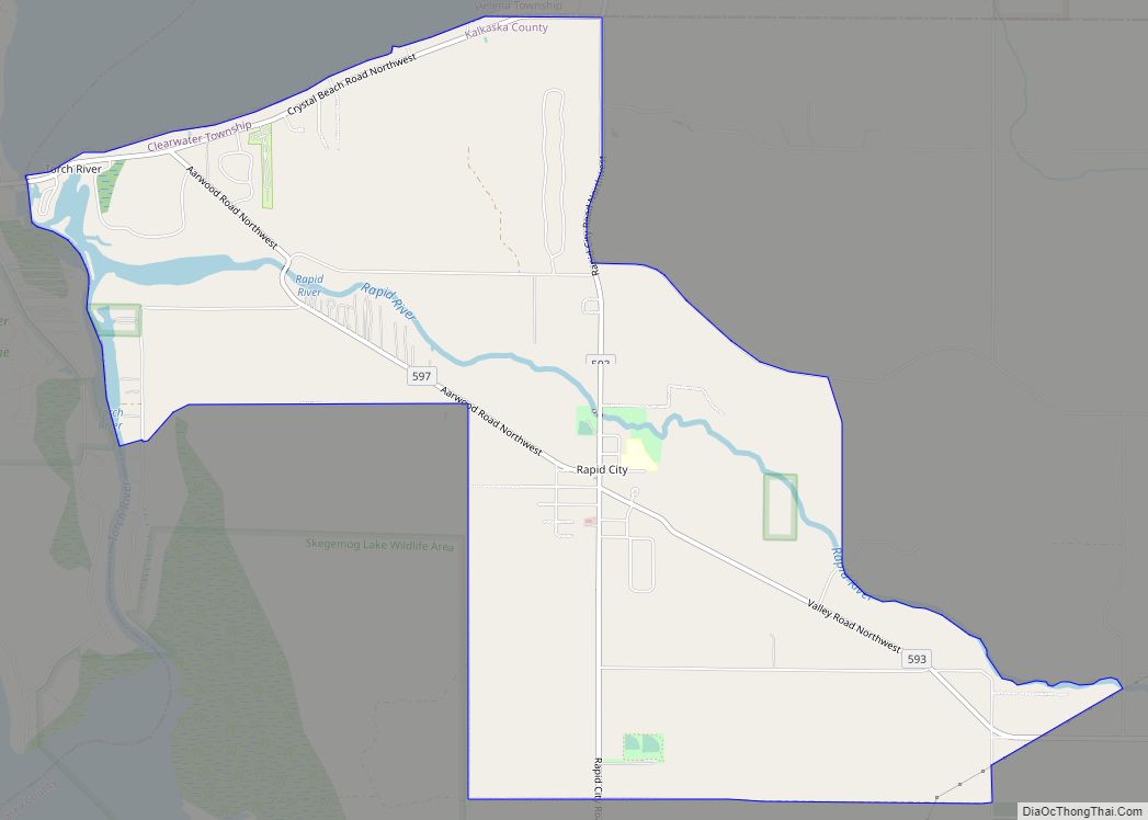
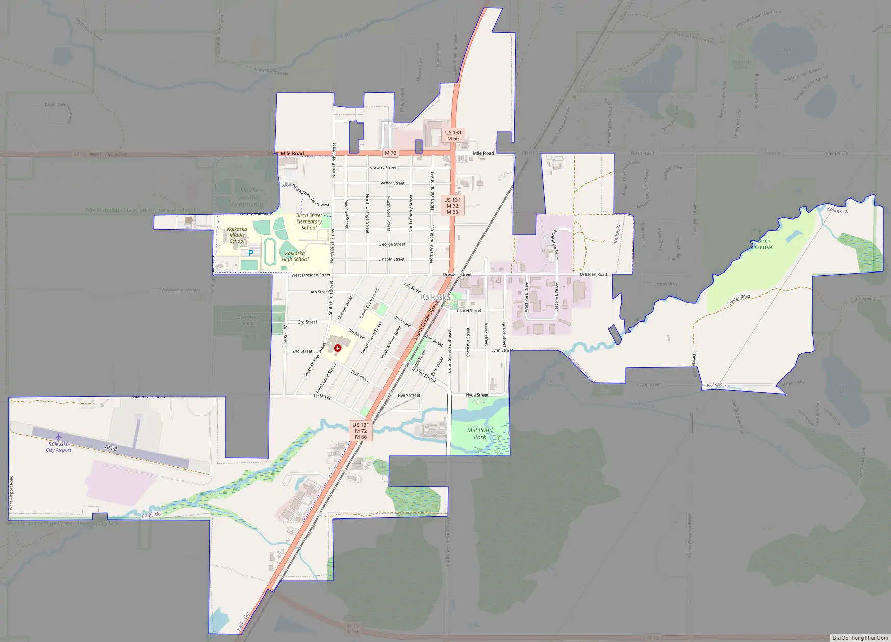
Kalkaska Road Map
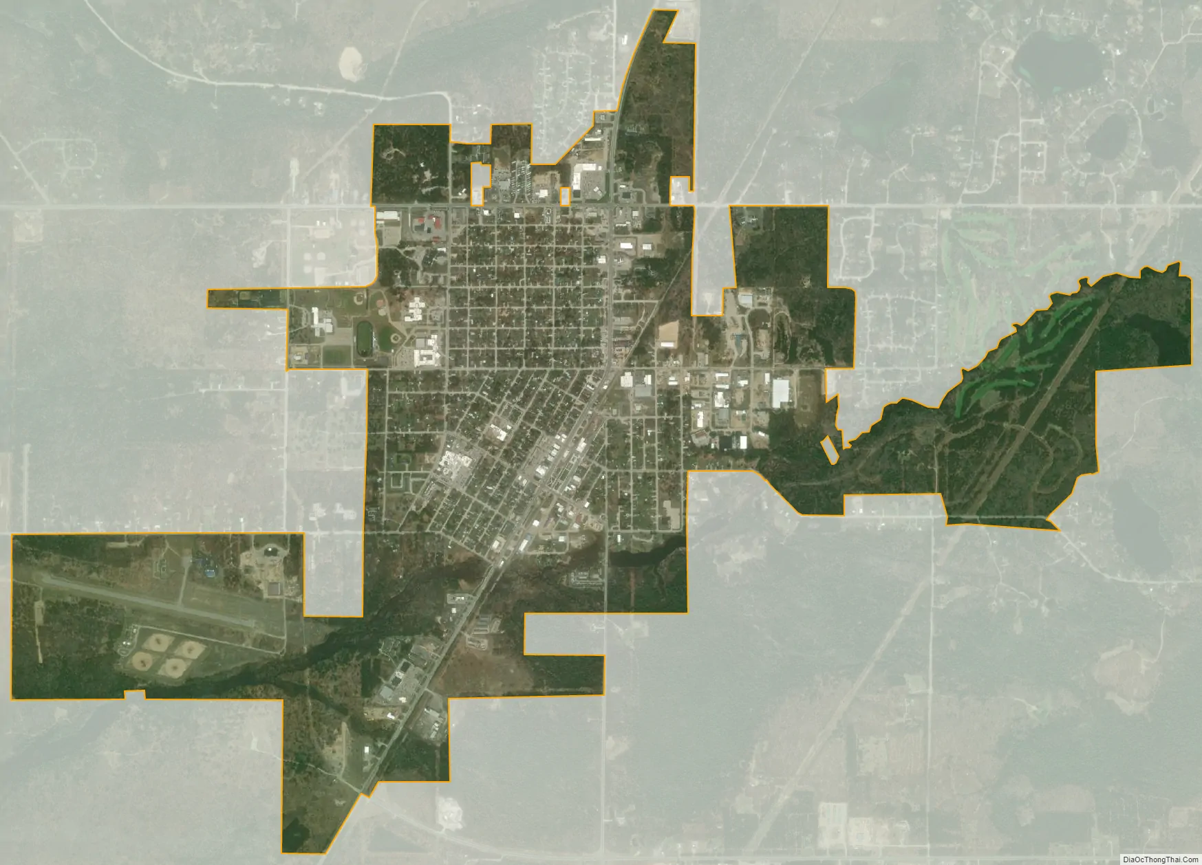
Kalkaska city Satellite Map
Geography
According to the United States Census Bureau, the village has a total area of 3.17 square miles (8.21 km), of which 3.12 square miles (8.08 km) is land and 0.05 square miles (0.13 km) is water.
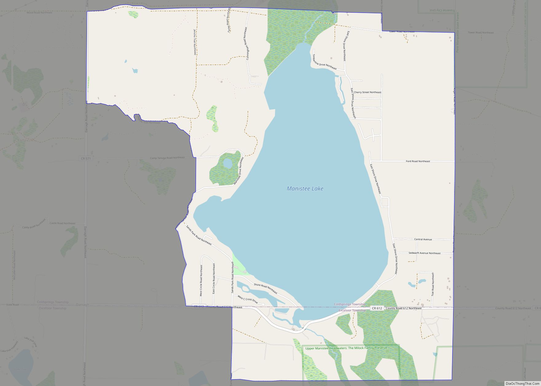
The North Branch of the Boardman River flows through the south of the village. The river continues west into neighboring Grand Traverse County, turns north, and empties into Grand Traverse Bay, a bay of Lake Michigan. Just to the north of the village, though, is the headwaters of the Little Rapid River. This stream also flows into the Grand Traverse Bay, although it is part of the Chain of Lakes watershed.
The primary constructors of Kalkaska’s geographical make-up are ancient glaciers, along with the majority of the entire state of Michigan. Glaciers scoured the surface of Michigan during the Ice Age, creating small hills called drumlins, along with valleys and basins and the water that currently occupies them. This process is called glaciation.
Kalkaska experiences a notable amount of snowfall as it is located in a snowbelt that receives heavy amounts of lake effect snow from Lake Michigan.
Kalkaska is considered part of Northern Michigan.
Climate
This climatic region has large seasonal temperature differences, with warm to hot (and often humid) summers and cold (sometimes severely cold) winters. According to the Köppen climate classification system, Kalkaska has a humid continental climate, abbreviated “Dfb” on climate maps.
See also
Map of Michigan State and its subdivision:- Alcona
- Alger
- Allegan
- Alpena
- Antrim
- Arenac
- Baraga
- Barry
- Bay
- Benzie
- Berrien
- Branch
- Calhoun
- Cass
- Charlevoix
- Cheboygan
- Chippewa
- Clare
- Clinton
- Crawford
- Delta
- Dickinson
- Eaton
- Emmet
- Genesee
- Gladwin
- Gogebic
- Grand Traverse
- Gratiot
- Hillsdale
- Houghton
- Huron
- Ingham
- Ionia
- Iosco
- Iron
- Isabella
- Jackson
- Kalamazoo
- Kalkaska
- Kent
- Keweenaw
- Lake
- Lake Hurron
- Lake Michigan
- Lake St. Clair
- Lake Superior
- Lapeer
- Leelanau
- Lenawee
- Livingston
- Luce
- Mackinac
- Macomb
- Manistee
- Marquette
- Mason
- Mecosta
- Menominee
- Midland
- Missaukee
- Monroe
- Montcalm
- Montmorency
- Muskegon
- Newaygo
- Oakland
- Oceana
- Ogemaw
- Ontonagon
- Osceola
- Oscoda
- Otsego
- Ottawa
- Presque Isle
- Roscommon
- Saginaw
- Saint Clair
- Saint Joseph
- Sanilac
- Schoolcraft
- Shiawassee
- Tuscola
- Van Buren
- Washtenaw
- Wayne
- Wexford
- Alabama
- Alaska
- Arizona
- Arkansas
- California
- Colorado
- Connecticut
- Delaware
- District of Columbia
- Florida
- Georgia
- Hawaii
- Idaho
- Illinois
- Indiana
- Iowa
- Kansas
- Kentucky
- Louisiana
- Maine
- Maryland
- Massachusetts
- Michigan
- Minnesota
- Mississippi
- Missouri
- Montana
- Nebraska
- Nevada
- New Hampshire
- New Jersey
- New Mexico
- New York
- North Carolina
- North Dakota
- Ohio
- Oklahoma
- Oregon
- Pennsylvania
- Rhode Island
- South Carolina
- South Dakota
- Tennessee
- Texas
- Utah
- Vermont
- Virginia
- Washington
- West Virginia
- Wisconsin
- Wyoming