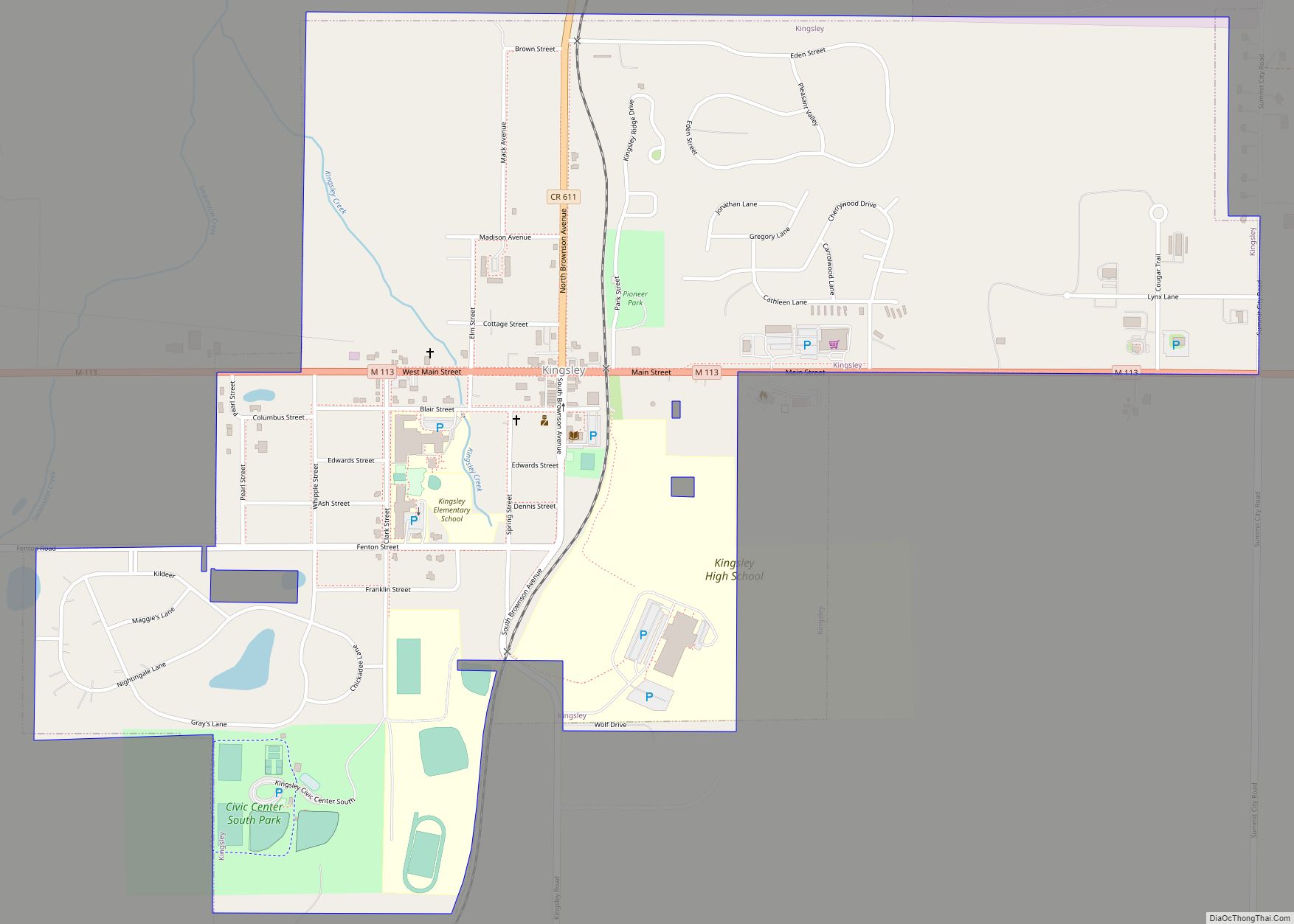
Kingsley (/kɪŋzli/) is a village in southern Grand Traverse County in the U.S. state of Michigan. The population was 1,431 at the 2020 census. The village is located within Paradise Township and is part of the Traverse City micropolitan area.
| Name: | Kingsley village |
|---|---|
| LSAD Code: | 47 |
| LSAD Description: | village (suffix) |
| State: | Michigan |
| County: | Grand Traverse County |
| Elevation: | 968 ft (295 m) |
| Total Area: | 1.22 sq mi (3.17 km²) |
| Land Area: | 1.22 sq mi (3.15 km²) |
| Water Area: | 0.01 sq mi (0.01 km²) |
| Total Population: | 1,431 |
| Population Density: | 1,176.81/sq mi (454.22/km²) |
| Area code: | 231 |
| FIPS code: | 2643340 |
| GNISfeature ID: | 0629725 |
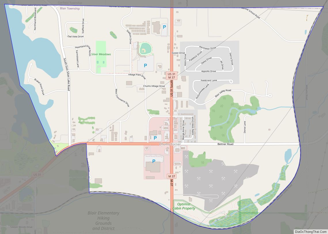
Online Interactive Map
Click on ![]() to view map in "full screen" mode.
to view map in "full screen" mode.
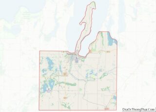
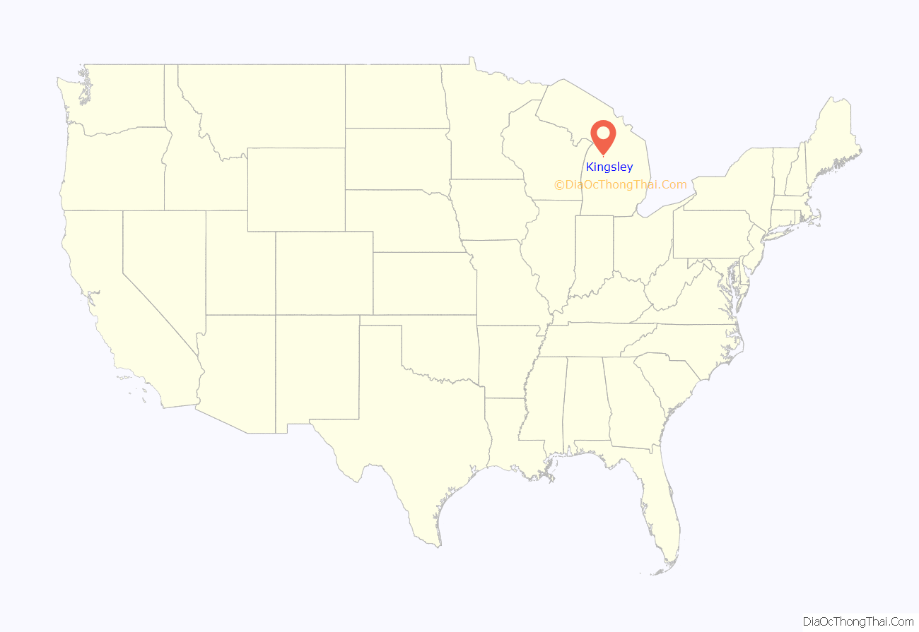
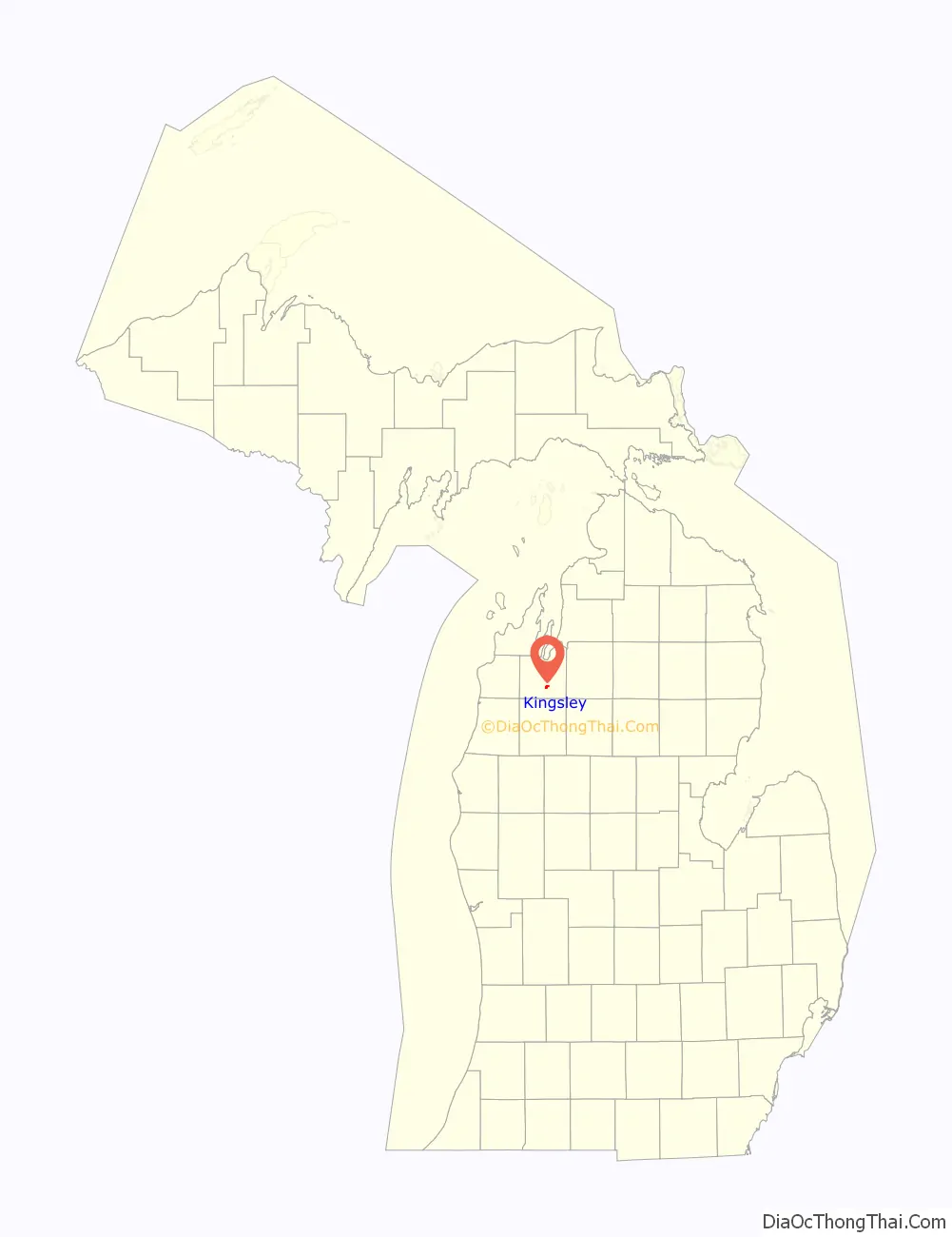
Kingsley location map. Where is Kingsley village?
History
The land Kingsley sits on today was originally owned by its founders, Judson Kingsley and Myron S. Brownson. In 1872, the Pennsylvania Railroad was completed between Cadillac and Traverse City. Kingsley built a station for the new railroad, which happened to run through his property. Kingsley also opened a post office, known as Kingsley Station. In 1876, Judson Kingsley platted Kingsley Station as a new village under the shortened name of Kingsley.
In 1874, Brownson, a practicing medic from Steuben County, New York, bought land adjacent to that of Kingsley. In July 1882, Brownson platted his land into a new settlement he called Paradise. In 1893, the villages of Kingsley and Paradise united and incorporated under the name of Kingsley.
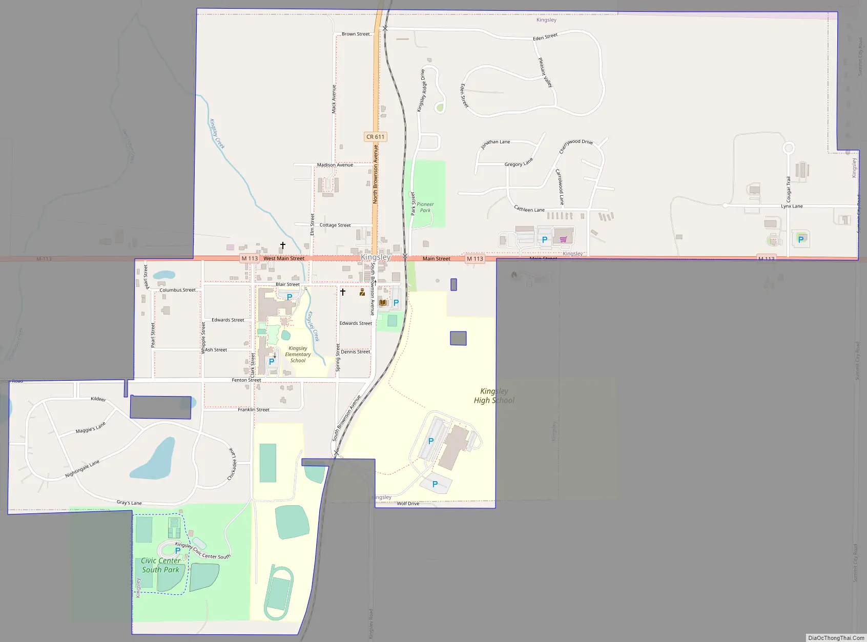
Kingsley Road Map
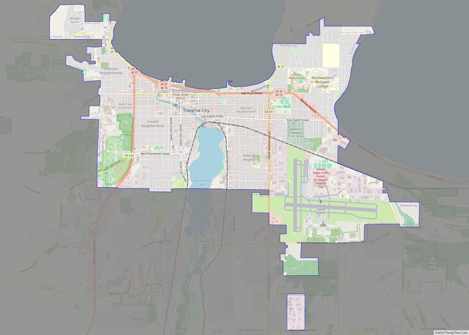
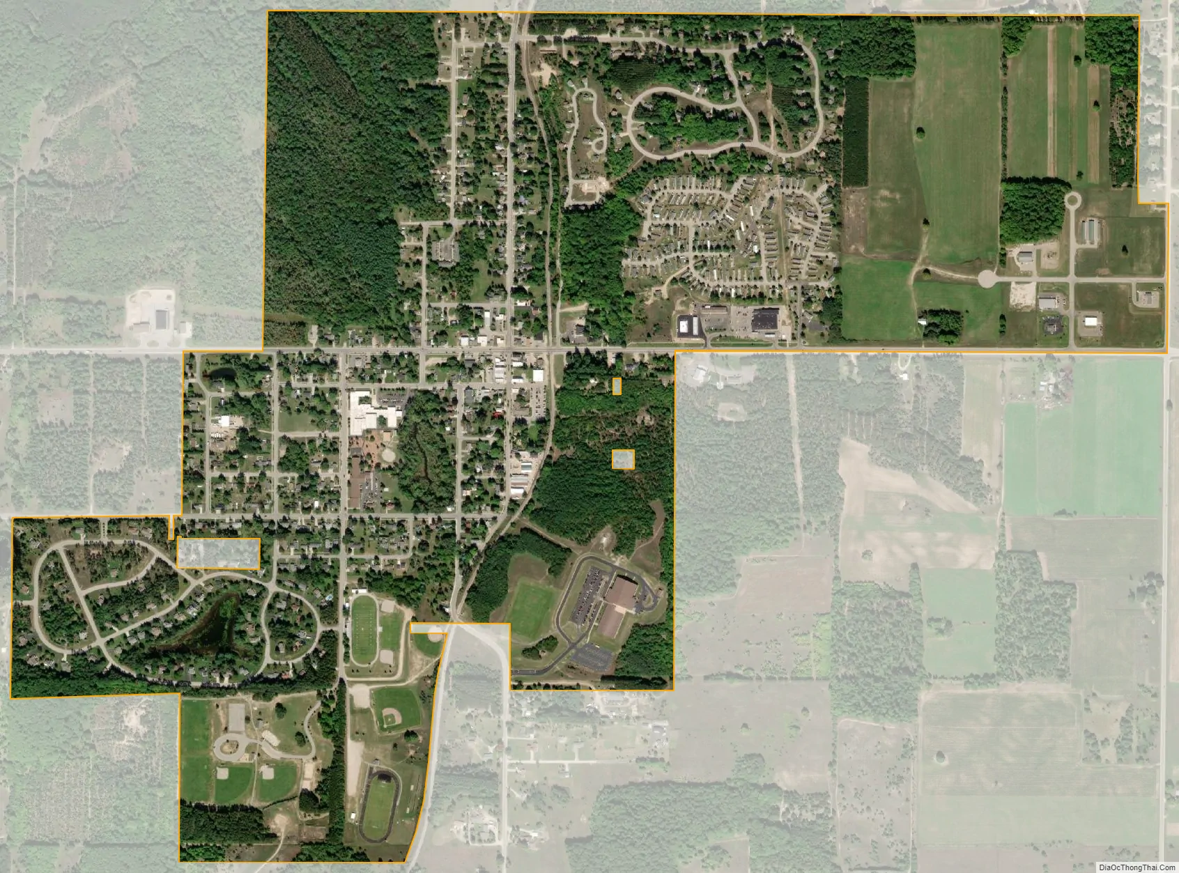
Kingsley city Satellite Map
Geography
According to the United States Census Bureau, the village has a total area of 1.44 square miles (3.73 km), of which 1.42 square miles (3.68 km) is land and 0.02 square miles (0.05 km) is water. The Kingsley ZIP code, 49649, serves the majority of Paradise Township, as well as the southwest corner of Union Township, the western portion of Fife Lake Township, a portion of northern Greenwood Township, the northeast corner of Hanover Township, a large portion of western Mayfield Township, and the southwest corner of Blair Township.
See also
Map of Michigan State and its subdivision:- Alcona
- Alger
- Allegan
- Alpena
- Antrim
- Arenac
- Baraga
- Barry
- Bay
- Benzie
- Berrien
- Branch
- Calhoun
- Cass
- Charlevoix
- Cheboygan
- Chippewa
- Clare
- Clinton
- Crawford
- Delta
- Dickinson
- Eaton
- Emmet
- Genesee
- Gladwin
- Gogebic
- Grand Traverse
- Gratiot
- Hillsdale
- Houghton
- Huron
- Ingham
- Ionia
- Iosco
- Iron
- Isabella
- Jackson
- Kalamazoo
- Kalkaska
- Kent
- Keweenaw
- Lake
- Lake Hurron
- Lake Michigan
- Lake St. Clair
- Lake Superior
- Lapeer
- Leelanau
- Lenawee
- Livingston
- Luce
- Mackinac
- Macomb
- Manistee
- Marquette
- Mason
- Mecosta
- Menominee
- Midland
- Missaukee
- Monroe
- Montcalm
- Montmorency
- Muskegon
- Newaygo
- Oakland
- Oceana
- Ogemaw
- Ontonagon
- Osceola
- Oscoda
- Otsego
- Ottawa
- Presque Isle
- Roscommon
- Saginaw
- Saint Clair
- Saint Joseph
- Sanilac
- Schoolcraft
- Shiawassee
- Tuscola
- Van Buren
- Washtenaw
- Wayne
- Wexford
- Alabama
- Alaska
- Arizona
- Arkansas
- California
- Colorado
- Connecticut
- Delaware
- District of Columbia
- Florida
- Georgia
- Hawaii
- Idaho
- Illinois
- Indiana
- Iowa
- Kansas
- Kentucky
- Louisiana
- Maine
- Maryland
- Massachusetts
- Michigan
- Minnesota
- Mississippi
- Missouri
- Montana
- Nebraska
- Nevada
- New Hampshire
- New Jersey
- New Mexico
- New York
- North Carolina
- North Dakota
- Ohio
- Oklahoma
- Oregon
- Pennsylvania
- Rhode Island
- South Carolina
- South Dakota
- Tennessee
- Texas
- Utah
- Vermont
- Virginia
- Washington
- West Virginia
- Wisconsin
- Wyoming