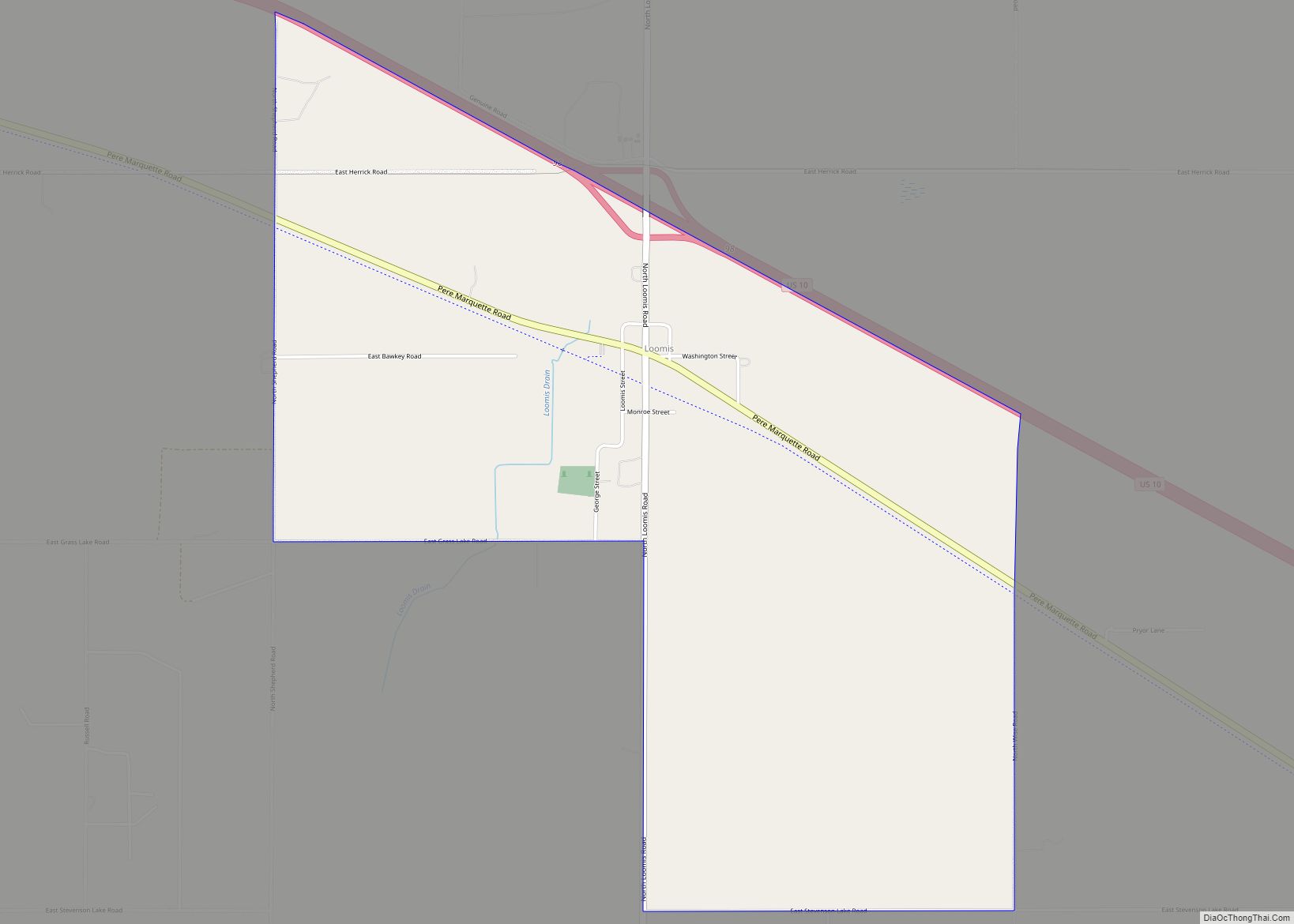
Loomis is an unincorporated community and census-designated place (CDP) in Isabella County in the U.S. state of Michigan. The population was 213 at the 2010 census.
| Name: | Loomis CDP |
|---|---|
| LSAD Code: | 57 |
| LSAD Description: | CDP (suffix) |
| State: | Michigan |
| County: | Isabella County |
| Elevation: | 805 ft (245 m) |
| Total Area: | 2.82 sq mi (7.30 km²) |
| Land Area: | 2.80 sq mi (7.25 km²) |
| Water Area: | 0.02 sq mi (0.05 km²) |
| Total Population: | 194 |
| Population Density: | 69.26/sq mi (26.74/km²) |
| Area code: | 989 |
| FIPS code: | 2649400 |
| GNISfeature ID: | 631028 |
Online Interactive Map
Click on ![]() to view map in "full screen" mode.
to view map in "full screen" mode.
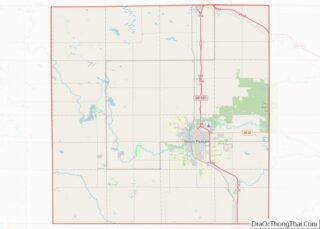
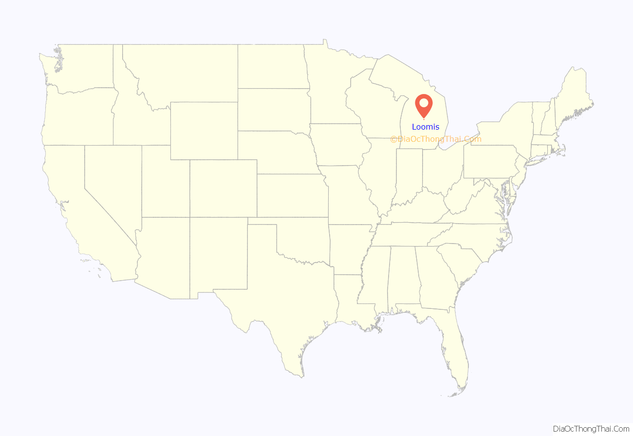
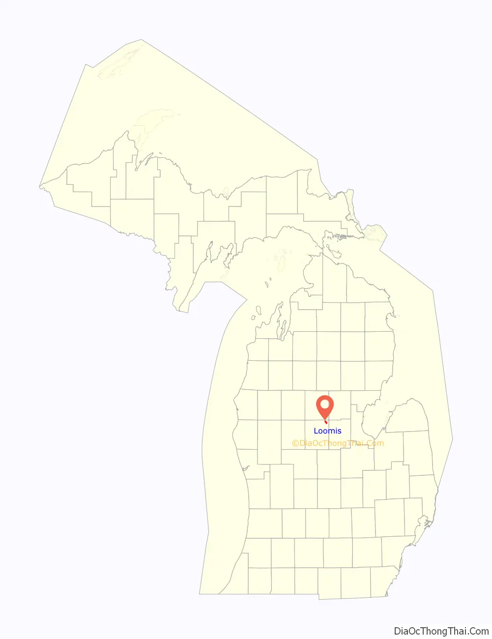
Loomis location map. Where is Loomis CDP?
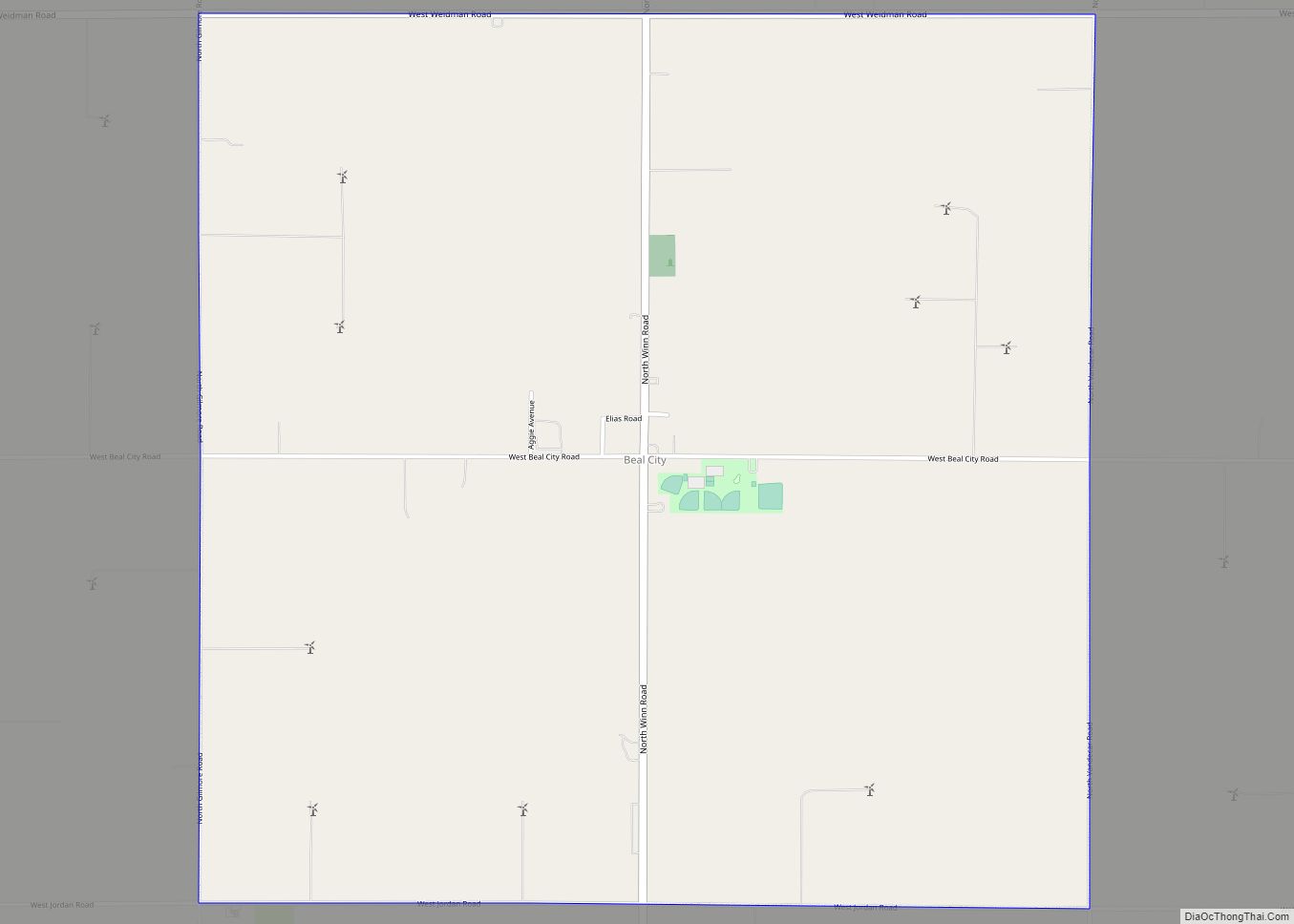
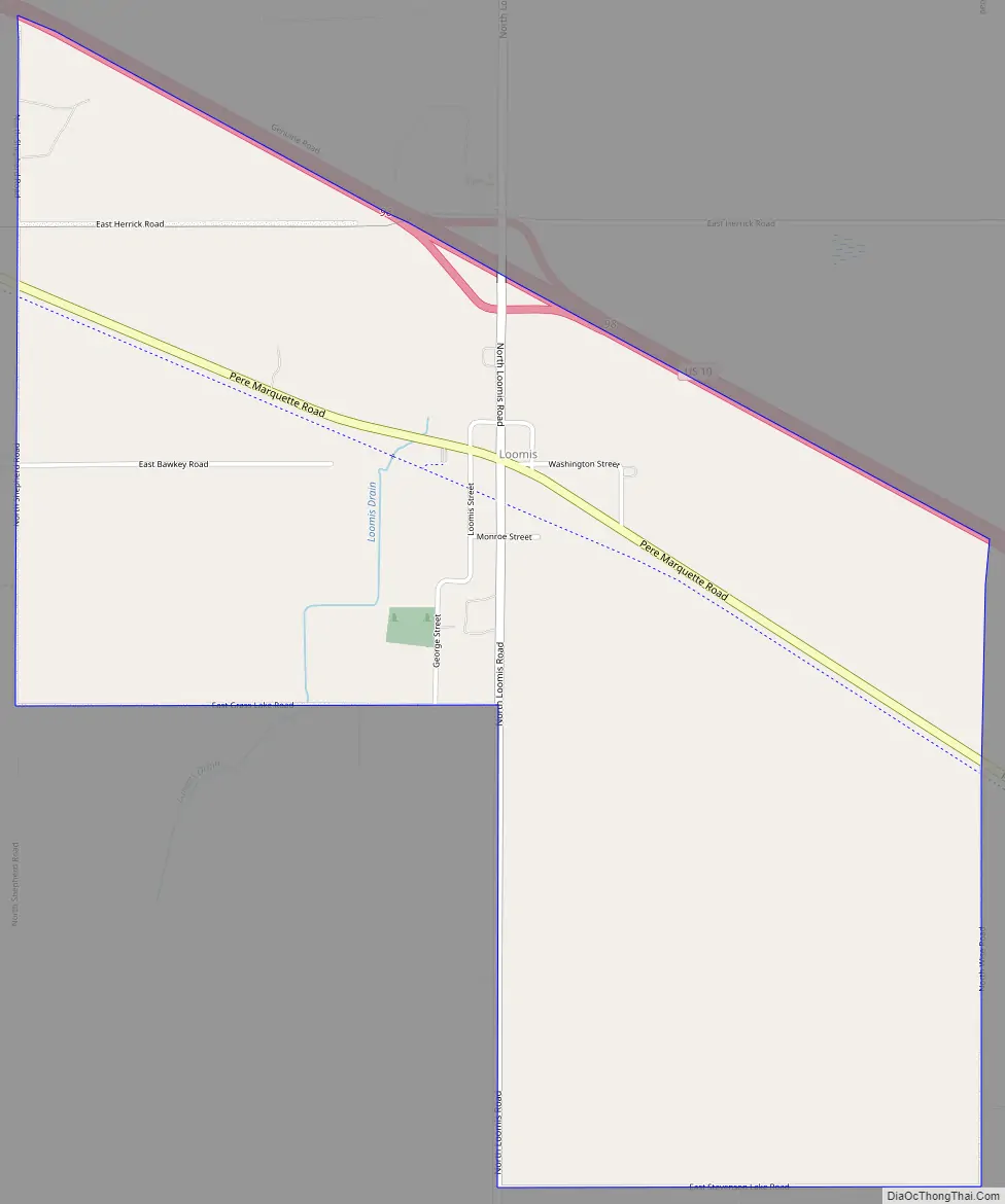
Loomis Road Map
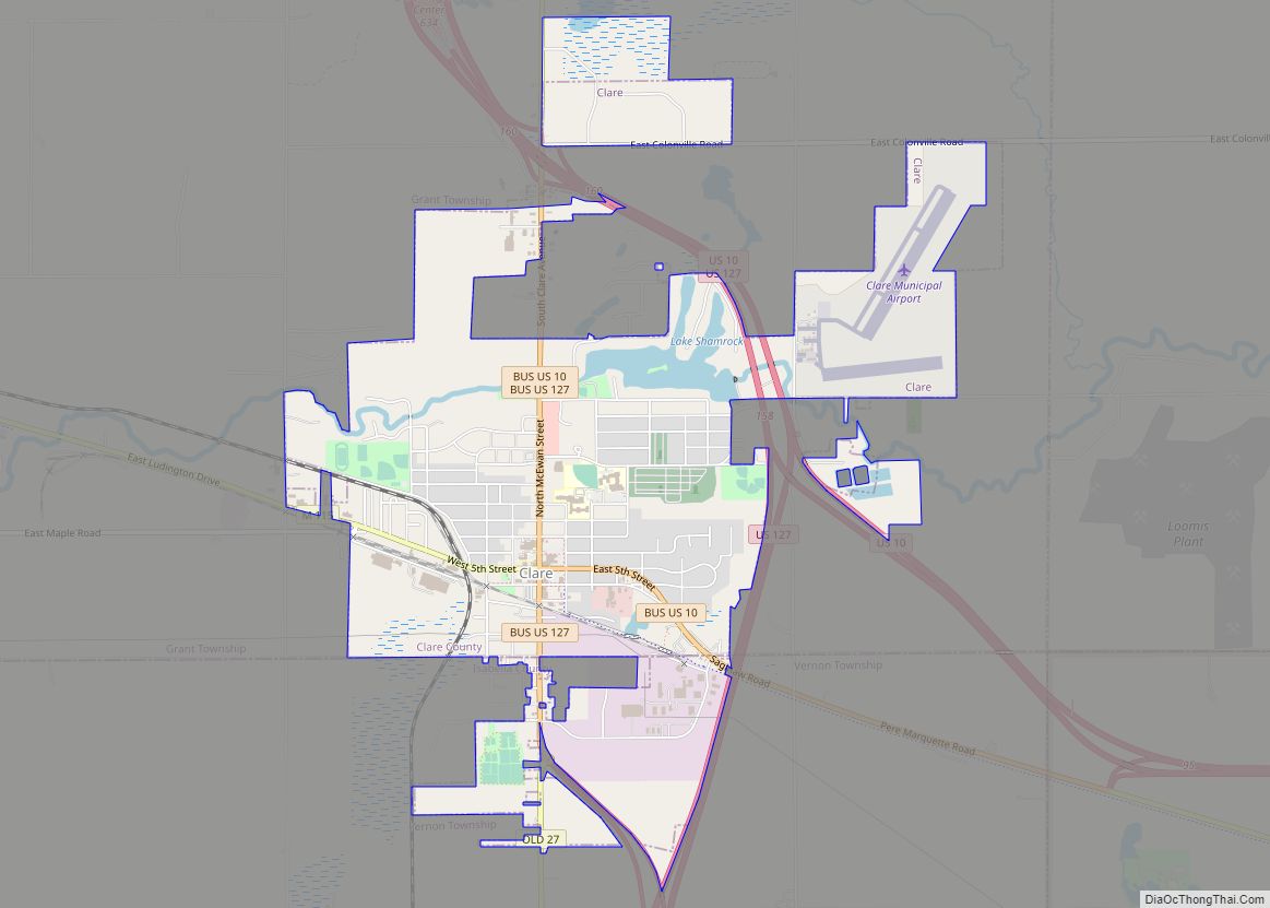
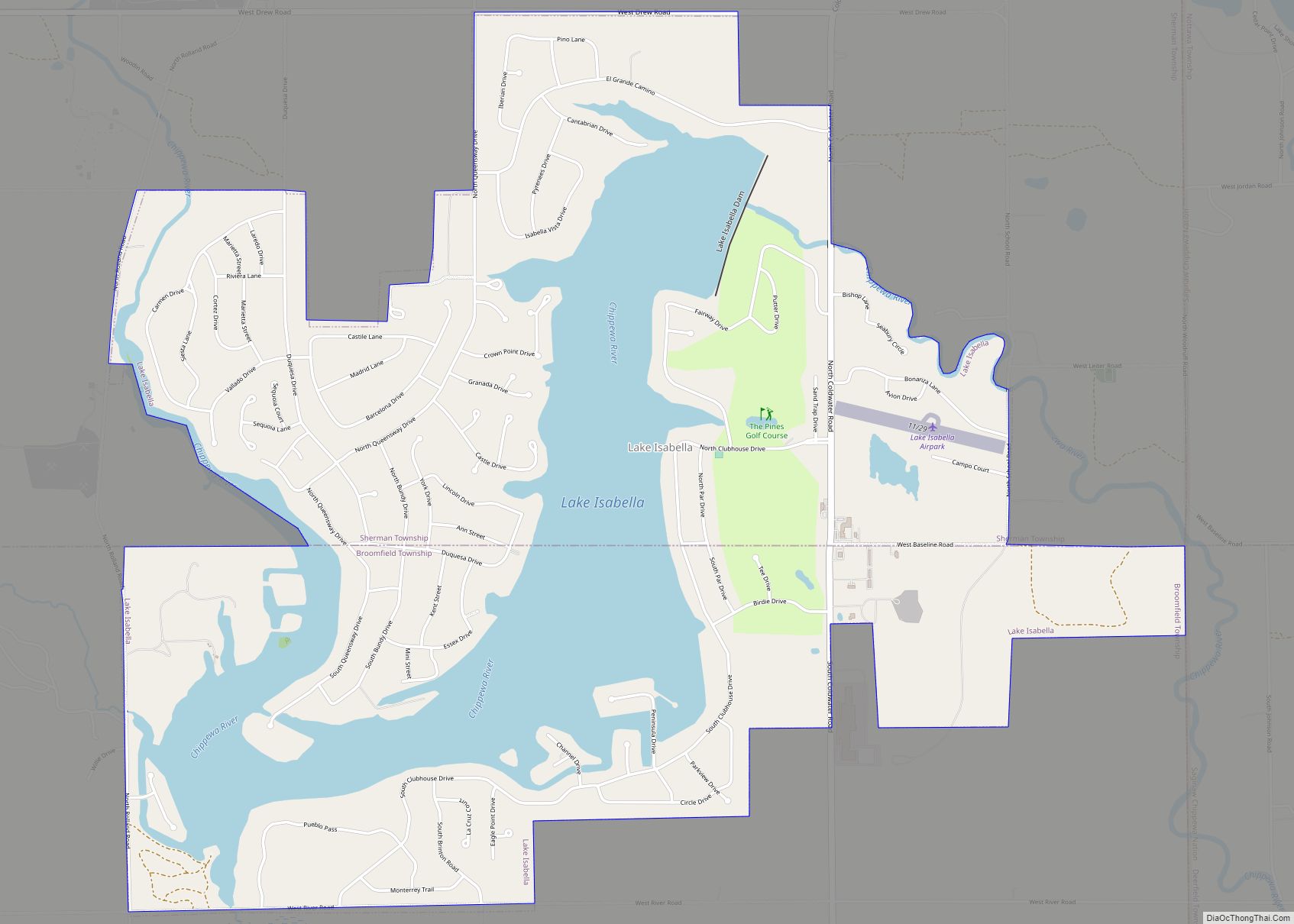
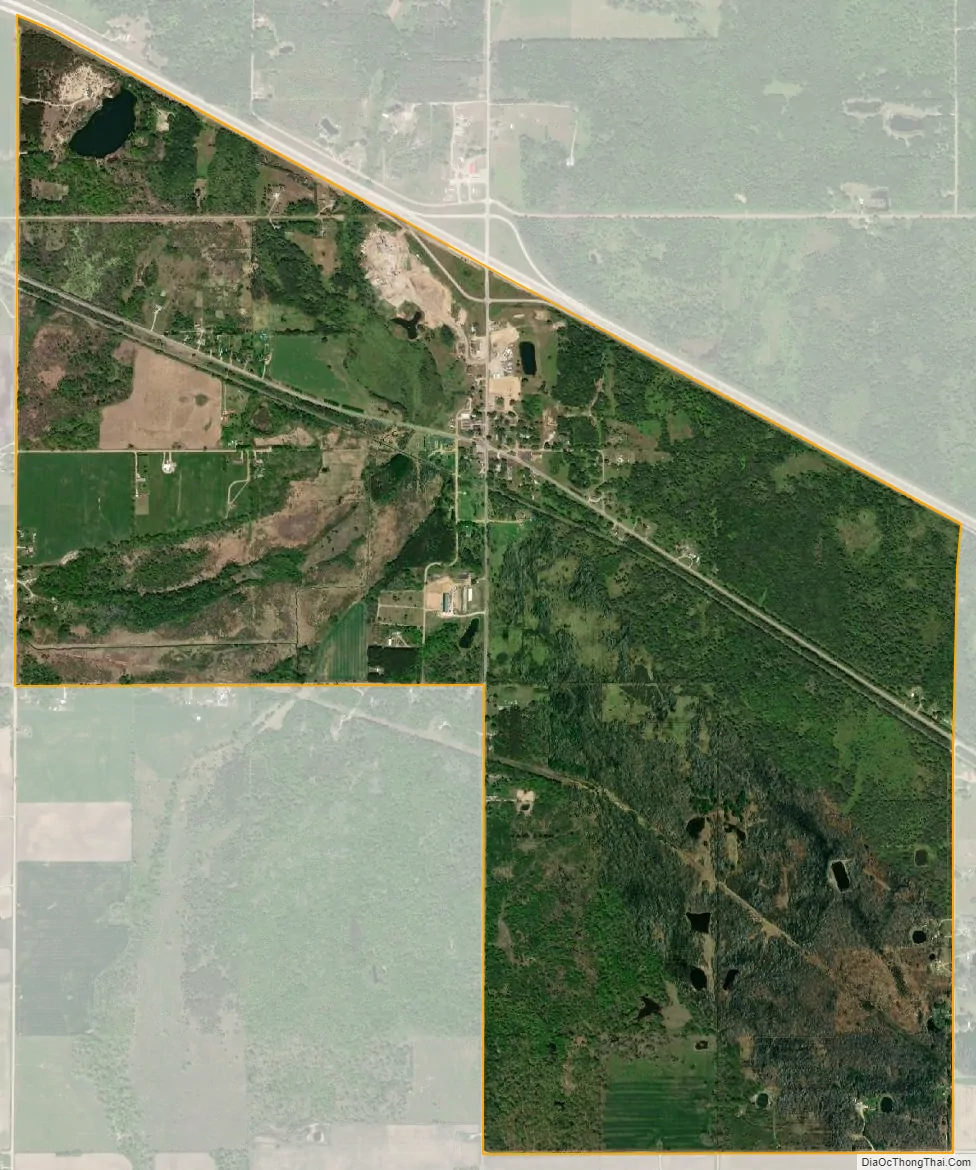
Loomis city Satellite Map
Geography
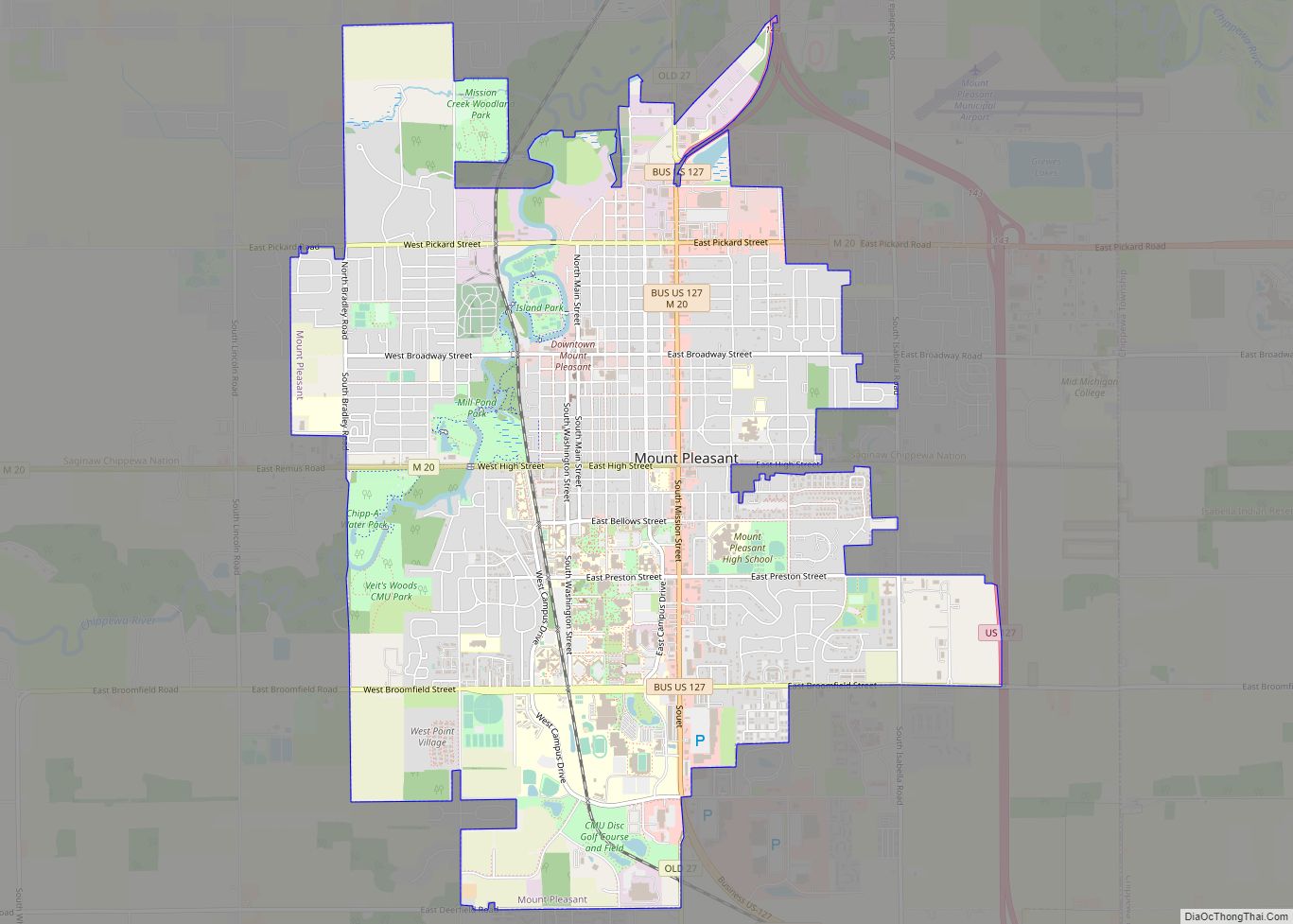
Loomis is in Wise Township in the northeastern corner of Isabella County. U.S. Highway 10, a four-lane freeway, forms the northern border of the community. US 10 leads northwest 5 miles (8.0 km) to Clare and southeast 26 miles (42 km) to Midland. Mount Pleasant, the Isabella County seat, is 18 miles (29 km) to the southwest via local roads.
According to the United States Census Bureau, the Loomis CDP has a total area of 2.8 square miles (7.3 km), of which 0.02 square miles (0.05 km), or 0.64%, are water. The community is part of the Salt River watershed, which in turn is part of the Tittabawassee River basin draining southeast to the Saginaw River.
See also
Map of Michigan State and its subdivision:- Alcona
- Alger
- Allegan
- Alpena
- Antrim
- Arenac
- Baraga
- Barry
- Bay
- Benzie
- Berrien
- Branch
- Calhoun
- Cass
- Charlevoix
- Cheboygan
- Chippewa
- Clare
- Clinton
- Crawford
- Delta
- Dickinson
- Eaton
- Emmet
- Genesee
- Gladwin
- Gogebic
- Grand Traverse
- Gratiot
- Hillsdale
- Houghton
- Huron
- Ingham
- Ionia
- Iosco
- Iron
- Isabella
- Jackson
- Kalamazoo
- Kalkaska
- Kent
- Keweenaw
- Lake
- Lake Hurron
- Lake Michigan
- Lake St. Clair
- Lake Superior
- Lapeer
- Leelanau
- Lenawee
- Livingston
- Luce
- Mackinac
- Macomb
- Manistee
- Marquette
- Mason
- Mecosta
- Menominee
- Midland
- Missaukee
- Monroe
- Montcalm
- Montmorency
- Muskegon
- Newaygo
- Oakland
- Oceana
- Ogemaw
- Ontonagon
- Osceola
- Oscoda
- Otsego
- Ottawa
- Presque Isle
- Roscommon
- Saginaw
- Saint Clair
- Saint Joseph
- Sanilac
- Schoolcraft
- Shiawassee
- Tuscola
- Van Buren
- Washtenaw
- Wayne
- Wexford
- Alabama
- Alaska
- Arizona
- Arkansas
- California
- Colorado
- Connecticut
- Delaware
- District of Columbia
- Florida
- Georgia
- Hawaii
- Idaho
- Illinois
- Indiana
- Iowa
- Kansas
- Kentucky
- Louisiana
- Maine
- Maryland
- Massachusetts
- Michigan
- Minnesota
- Mississippi
- Missouri
- Montana
- Nebraska
- Nevada
- New Hampshire
- New Jersey
- New Mexico
- New York
- North Carolina
- North Dakota
- Ohio
- Oklahoma
- Oregon
- Pennsylvania
- Rhode Island
- South Carolina
- South Dakota
- Tennessee
- Texas
- Utah
- Vermont
- Virginia
- Washington
- West Virginia
- Wisconsin
- Wyoming